

- Brief description
-
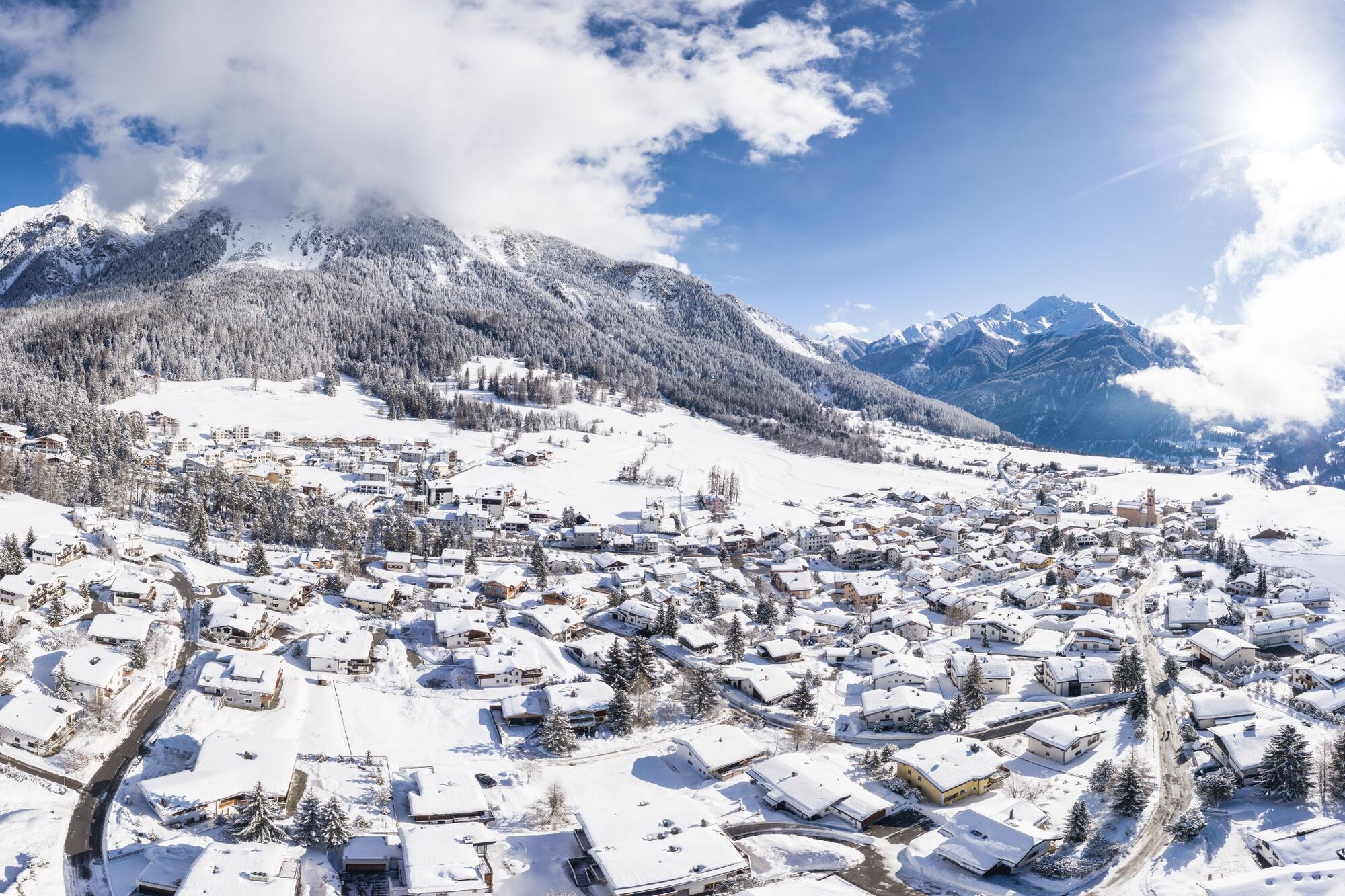
A comfortable round trip with a great viewpoint. Enjoy the tranquility and experience the peculiarities of the nature of Lenz.
- Difficulty
-
easy
- Rating
-
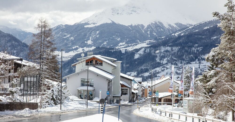
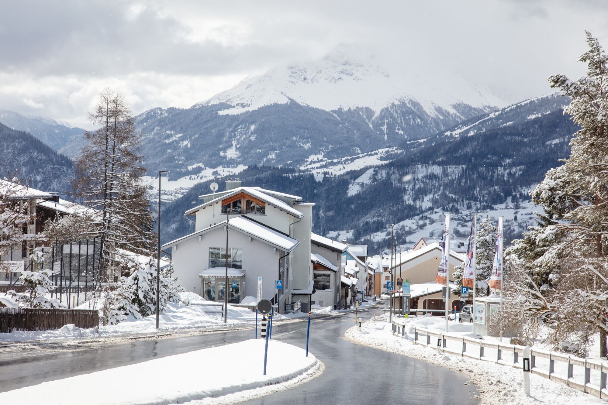
- Starting point
-
municipal building of Lantsch/Lenz
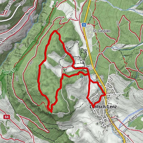
- Route
-
Lantsch/Lenz (1,328 m)0.2 kmBualino5.0 kmLantsch/Lenz (1,328 m)5.7 km
- Best season
-
AugSepOctNovDecJanFebMarAprMayJunJul
- Description
-
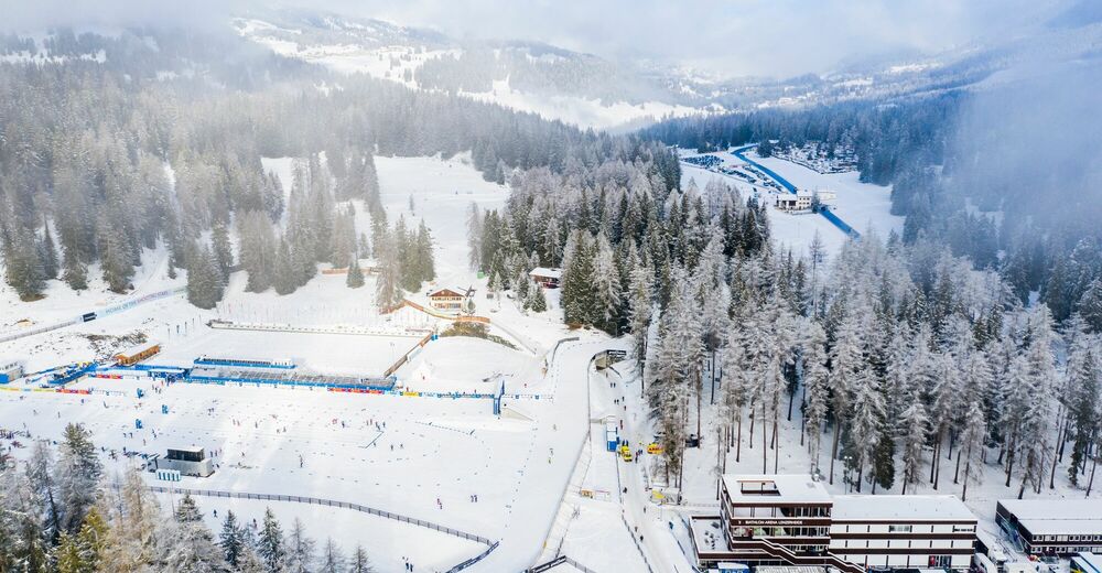
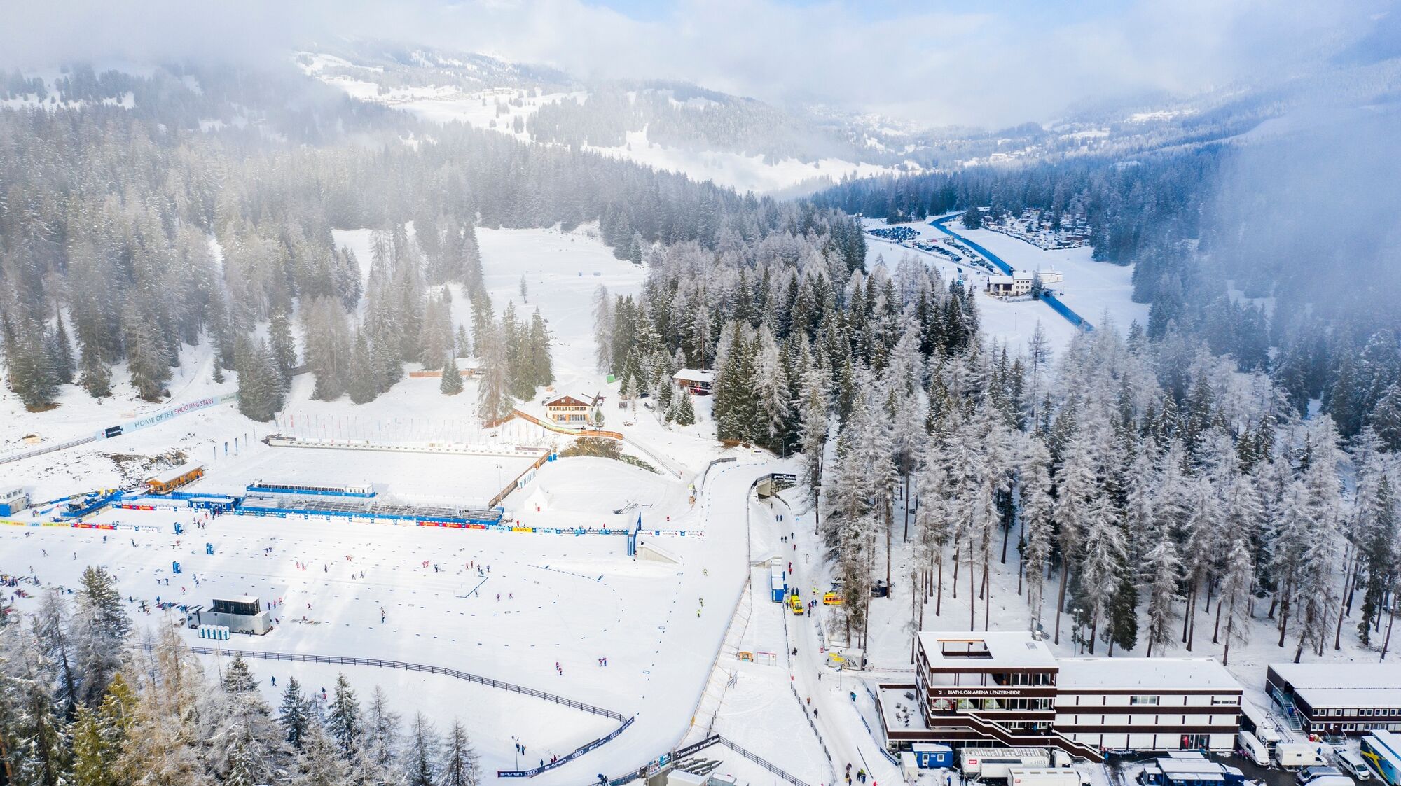
The starting point of the circular tour is the community center in Lantsch/Lenz. From there, the trail leads through the residential quarter of Tgampi. The hike continues, partly on the nature trail, to the viewpoint Crap la Tretscha. There you have a magnificent view in the direction of Oberhalbstein, Albula valley and Landwasser valley. Stop at this beautiful spot and relax with a picnic on the benches. After a little refreshment, the path leads you through the forest of Bual before it branches off to the right in the direction of Roland Arena. Marvel at the hustle and bustle on the cross-country ski trails and at the shooting range before returning to the starting point.
- Highest point
- 1,444 m
- Endpoint
-
municipal building of Lantsch/Lenz
- Height profile
-
 © outdooractive.com
 - Equipment
-
Clothing adapted to the weather, winter shoes
- Tips
-
Enjoy coffee and cake at Bistro Bualino.

- Author
-
The tour Lantsch/Lenz - viewpoint Crap la Tretscha round is used by outdooractive.com provided.


General info
-
Arosa Lenzerheide
156
-
Albula / Alvra
46