

© Arosa Lenzerheide - Arosa Tourismus

© Arosa Lenzerheide - Arosa Tourismus

© Arosa Lenzerheide - Arosa Tourismus

- Brief description
-
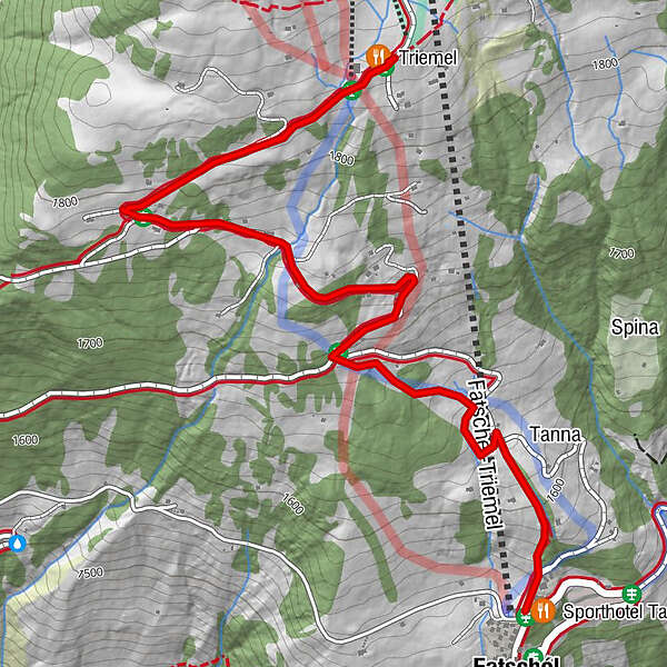
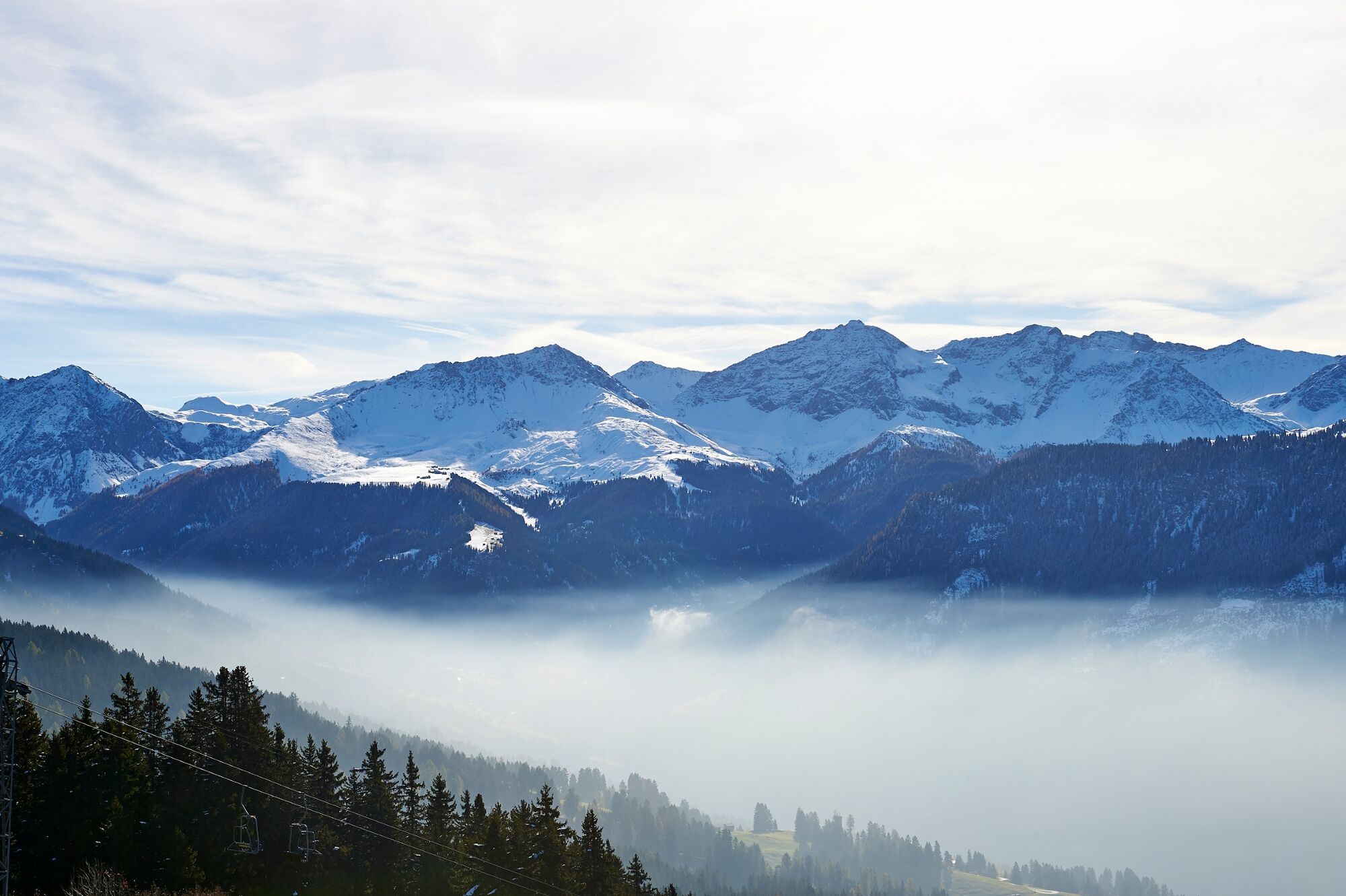
Leisurely hike from Triemel through the lovely mountain landscape to Fatschél.
- Difficulty
-
easy
- Rating
-
- Starting point
-
Triemel
- Route
-
TriemelSporthotel Tanne2.4 kmFatschél (1,515 m)2.4 km
- Best season
-
AugSepOctNovDecJanFebMarAprMayJunJul
- Description
-
The leisurely hike starts in Triemel after you have fortified yourself in the mountain restaurant. The path meanders leisurely towards the valley, past countless Maiensässen with views over the Schanfigg. Alternatively, you can take the toboggan back to Fatschél.
- Directions
-
Triemel - Fatschél
- Highest point
- 1,848 m
- Endpoint
-
Fatschél
- Height profile
-
 © outdooractive.com
 - Equipment
-
Good winter equipment with good shoes
- Safety instructions
-
Please be aware that the hiking trail is also used for tobogganing.
- Tips
-
Stop at the Triemel mountain inn.
- Directions
-
Via Chur in the direction of Arosa. In Fatschél turn left before the church to Fatschél.
- Public transportation
- Parking
-
Fatschél


- Author
-
The tour Triemel - Fatschél is used by outdooractive.com provided.
GPS Downloads


General info
Refreshment stop


