© Engadin Samnaun Val Müstair - Schweizerischer Nationalpark, Hans Lozza

© Engadin Samnaun Val Müstair - Schweizerischer Nationalpark, Hans Lozza

© Engadin Samnaun Val Müstair - Schweizerischer Nationalpark, Hans Lozza


- Brief description
-
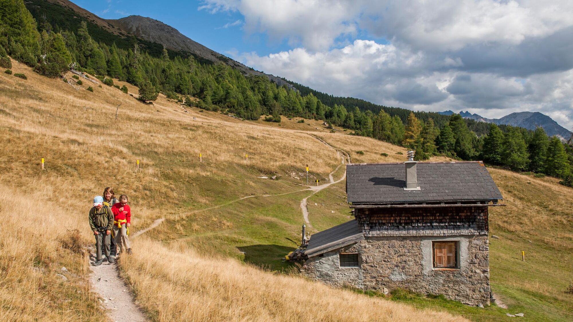
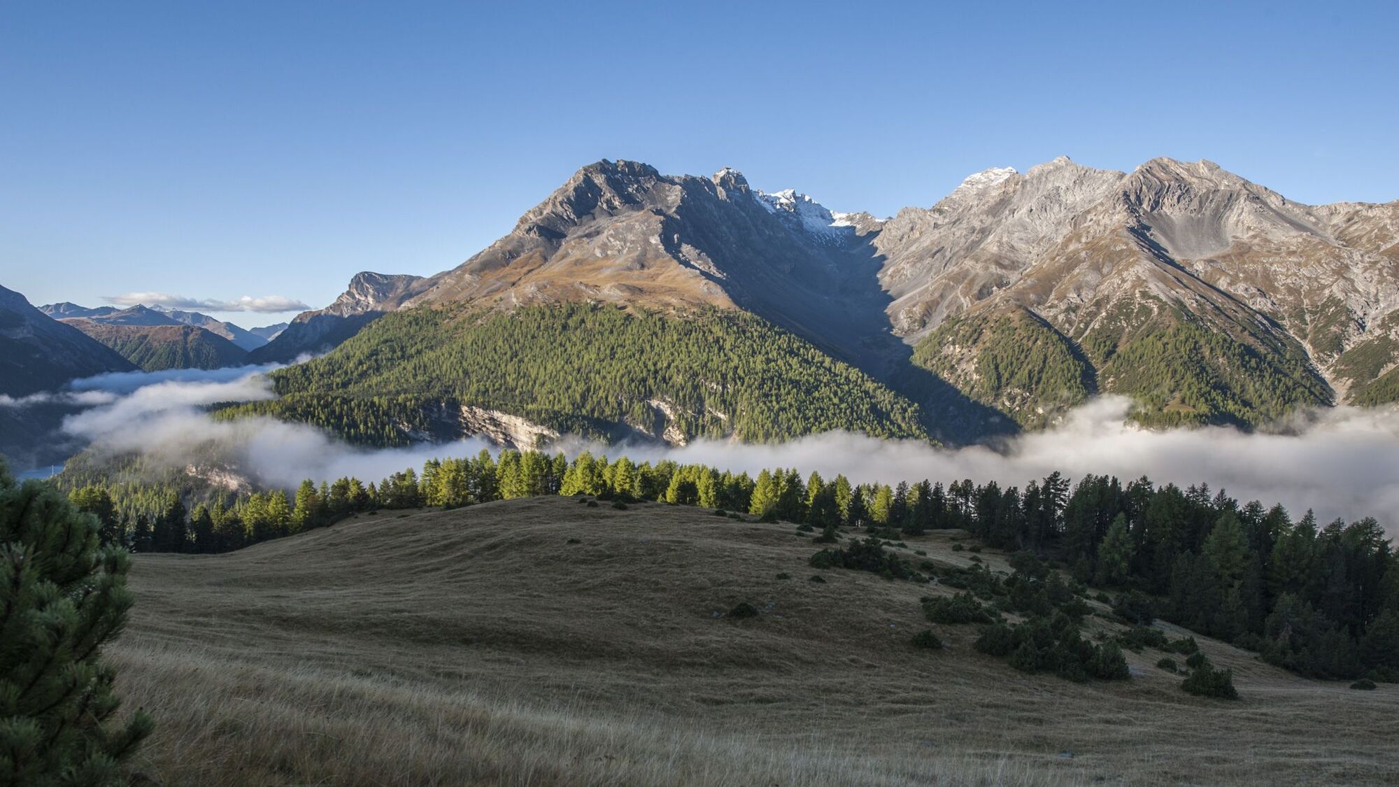
Short hike on a section of the historic Truoi da Frael. From the customs house la Drossa, the trail leads to Alp la Schera, with a beautiful view of the Livigno reservoir.
- Difficulty
-
medium
- Rating
-
- Starting point
-
Postbus stop Punt la Drossa (P4) (1706 m a.s.l.)
- Best season
-
JanFebMarAprMayJunJulAugSepOctNovDec
- Description
-
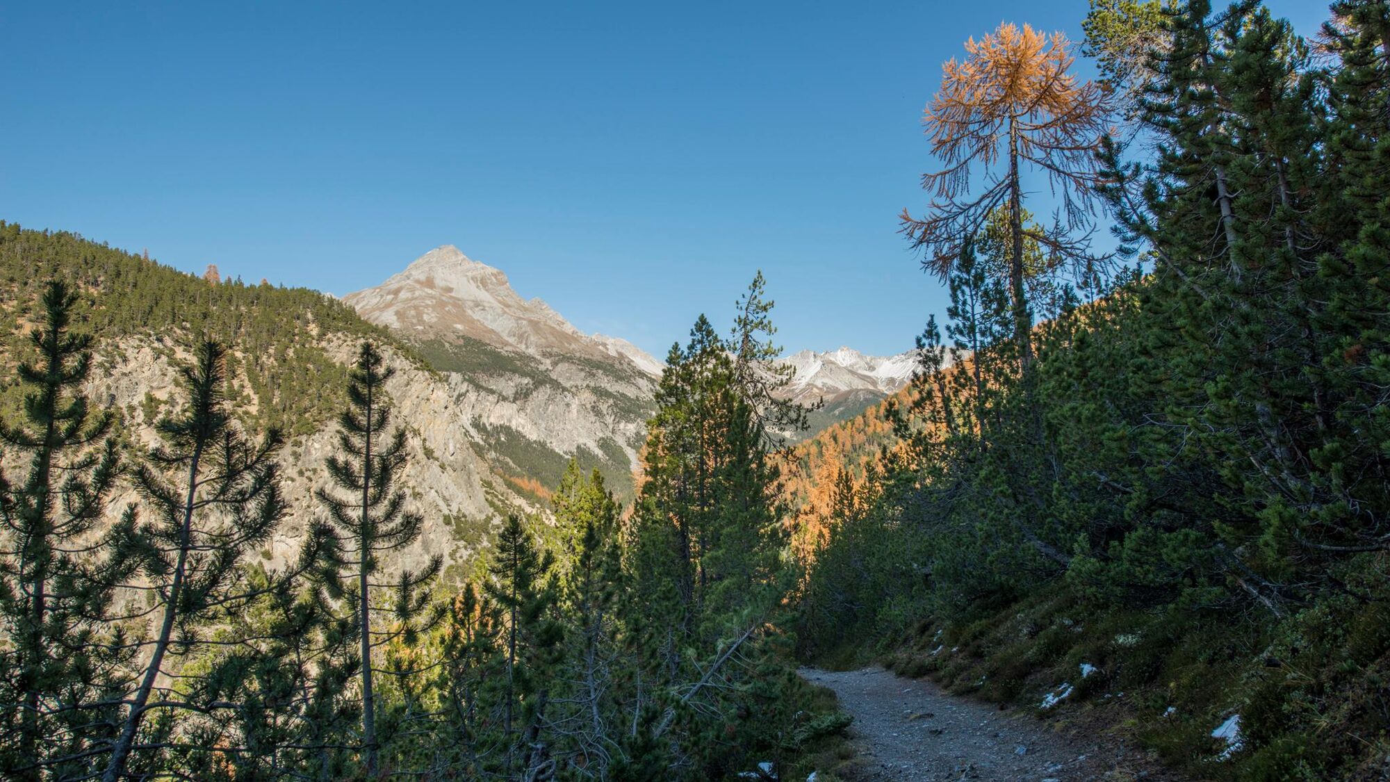
An ideal hike for families. The children look forward to seeing the marmots and the fountain on Alp la Schera, while the adults enjoy the interesting flora, the numerous forest anthills and the magnificent view towards Livigno and Val da l'Acqua. The hike crosses mountain pine forests typical of the Swiss National Park with numerous trees lying on the ground and rotting.
Note: Dogs are not allowed in the Swiss National Park, not even on a lead. You can find more information on this and all the protection regulations at nationalpark.ch/schutzbestimmungen.
- Directions
-
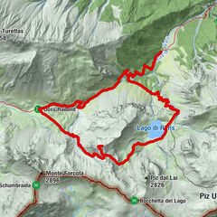
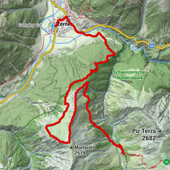
The hike begins at the large information board to the west of the tunnel portal at the Zollhaus la Drossa, right by car park 4 on the Ofenpass road and the Punt la Drossa post bus stop (P4) (1706 m a.s.l.). The path, which is narrow at first, winds up along the mountain flank and then becomes increasingly wider. Soon you reach the saddle between the Munt la Schera and the small, wooded Piz la Schera. At the fork (1828 m a.s.l.), the route turns left towards the southeast and continues to climb gradually. Through the forest and across a long clearing, the trail soon reaches Alp la Schera (2091 m a.s.l.). From here the route leads back to Punt la Drossa along the same path. Alternatives are an extension in the direction of Munt la Schera-Buffalora or a circular hike to Il Fuorn (see route "Munt la Schera").
- Highest point
- 2,089 m
- Endpoint
-
Postbus stop Punt la Drossa (P4) (1706 m a.s.l.)
- Height profile
-
 © outdooractive.com
 - Equipment
-
Walking shoes, warm clothing, sun and rain protection.
- Safety instructions
-
Easy hike, also suitable for children.
Emergency call:
144 Emergency call, first aid 1414 Mountain rescue REGA 112 International emergency call - Tips
-
The Engadin Scuol Zernez holiday region has a lot to offer. We reveal our insider tips at engadin. com/geheimtipps, but shhh...!
- Additional information
- Directions
-
- From the north: via Landquart - Klosters by car transport through the Vereina Tunnel (Selfranga - Sagliains) or via the Flüela Pass into the Lower Engadine on H27.
- From the east: via Landeck / Austria in the direction of St. Moritz on H27
- From the south: via Reschenpass (Nauders-Martina) into the Lower Engadine on H27
- From Zernez on Ofenpass road in the direction of Val Müstair to car park 4
- From Val Müstair over the Ofenpass towards Zernez to car park 4
- Public transportation
-
- With the Rhaetian Railway (from Chur, Prättigau, Upper and Lower Engadine) hourly to Zernez.From Zernez by
- PostBus in the direction of Müstair-Mals hourly to Punt la Drossa (P4)
- Parking
-
- Free parking at the railway station, in the village and at the National Park Visitor Centre in Zernez.
- Free parking in car park 4 on the Ofenpass road.
- Author
-
The tour Alp la Schera, on the edge of Switzerland is used by outdooractive.com provided.
GPS Downloads


General info
Cultural/Historical
Flora
Fauna
A lot of view
Other tours in the regions
-
Engadin Samnaun Val Müstair
559
-
Zernez
138