

- Brief description
-
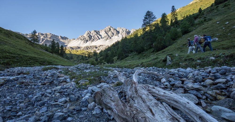
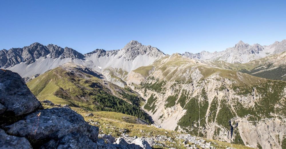
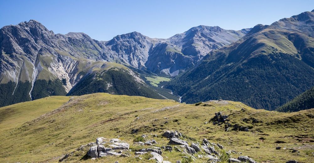
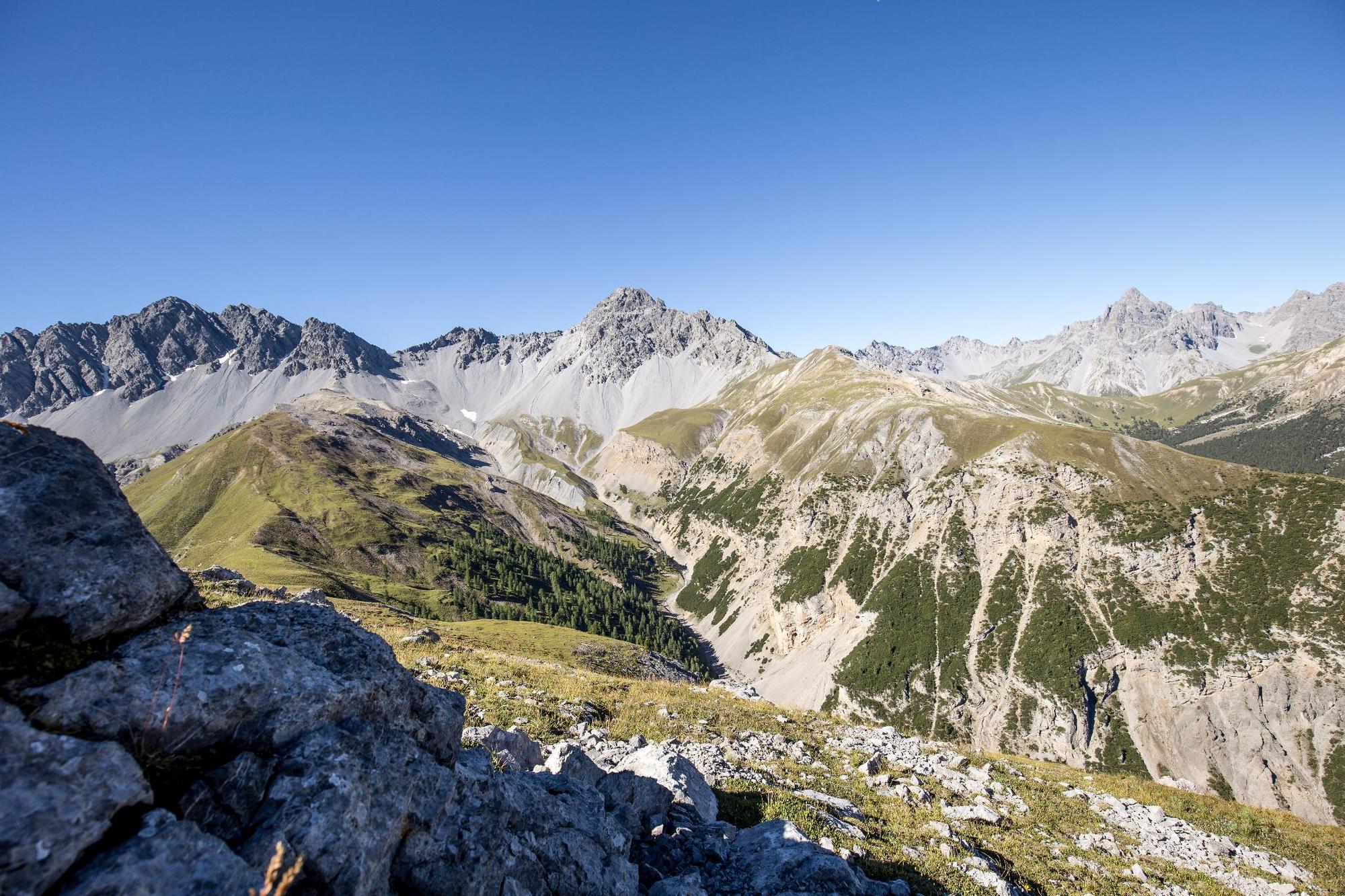
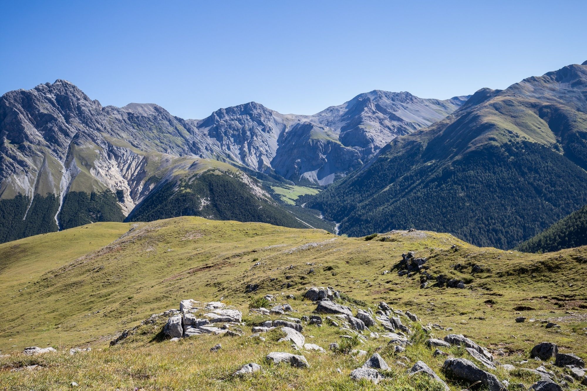
The hike leads through Val Tavrü, which was part of the Swiss National Park from 1911 to 1936, but is now used again for alpine farming. Mot Tavrü offers beautiful views of the inaccessible Val Foraz and the red deer living there.
- Difficulty
-
medium
- Rating
-
- Starting point
-
PostBus Stop S-charl
- Route
-
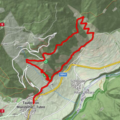
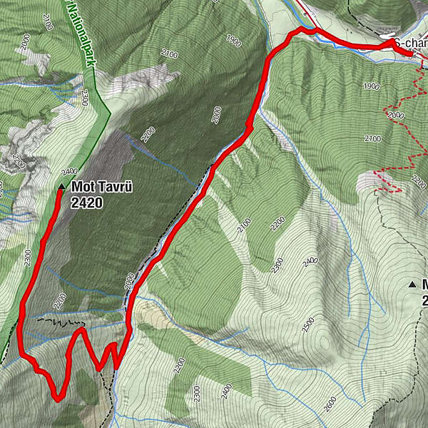
S-charl (1,810 m)Reformierte Kirche0.0 kmMot Tavrü (2,420 m)5.9 kmS-charl (1,810 m)11.9 kmReformierte Kirche11.9 km
- Best season
-
JanFebMarAprMayJunJulAugSepOctNovDec
- Description
-
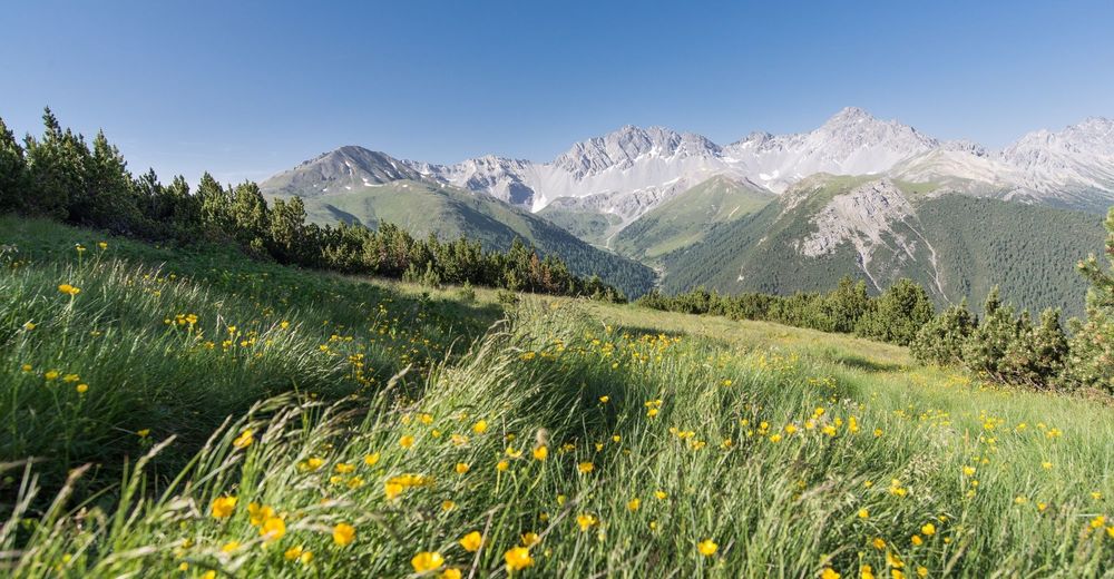
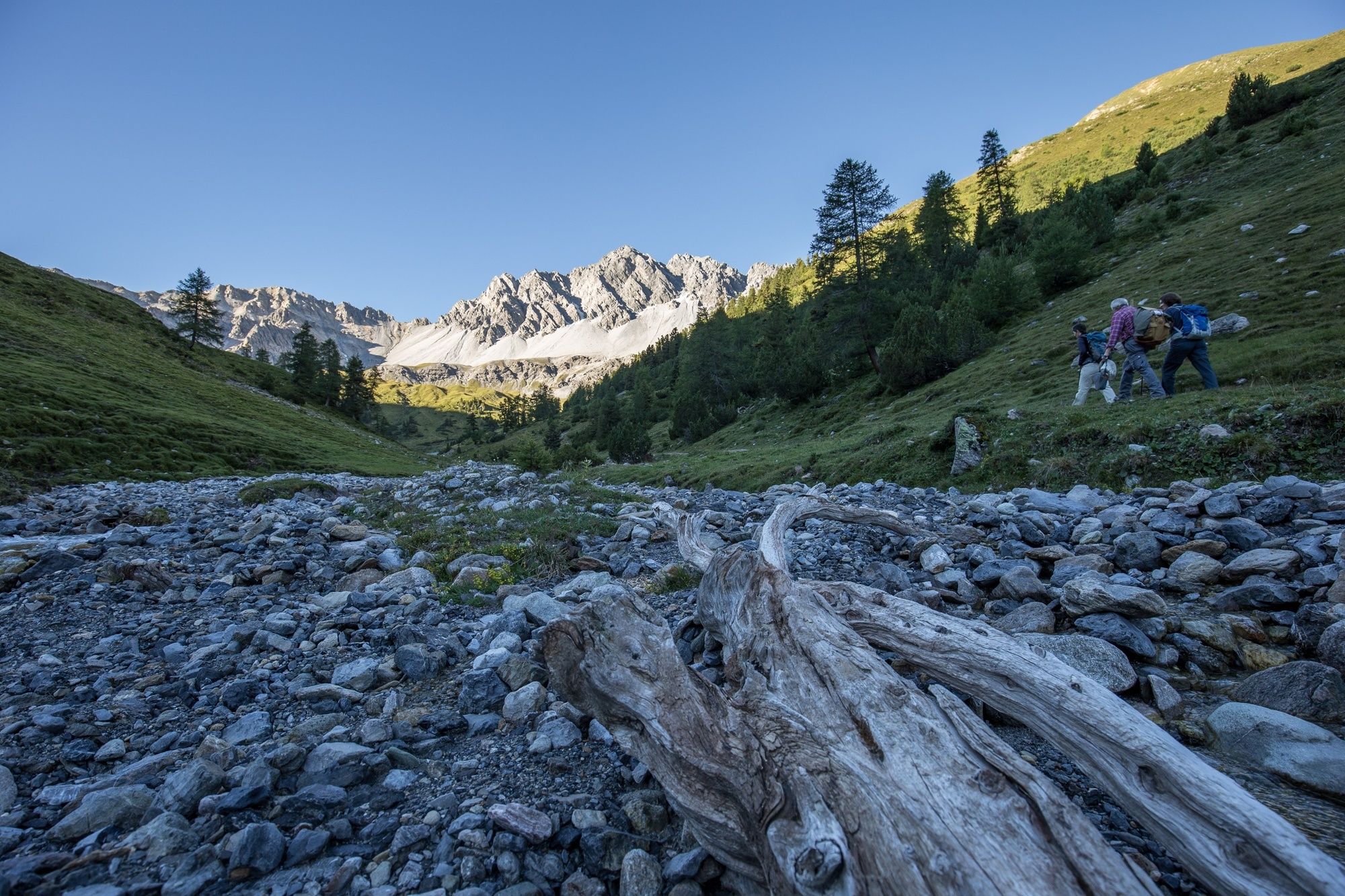
During the hike on Mot Tavrü, the differences between the landscape inside and outside the national park border can be observed particularly well. The trail leads through Val Tavrü, over the traditionally cultivated Alp Tavrü, up to the summit at the national park border. This offers impressive views into the wild, inaccessible Val Foraz, where, with a bit of luck, a pair of bearded vultures and countless red deer can be seen.
Note: Dogs are not allowed in the Swiss National Park, not even on a leash. Further information on this and all protection regulations can be found at www.nationalpark.ch/en/visit/hiking/protection-regulations/.
- Directions
-
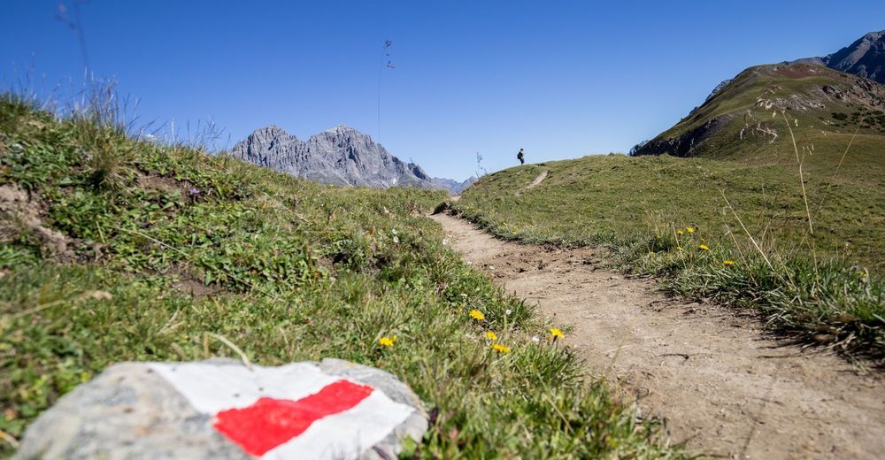
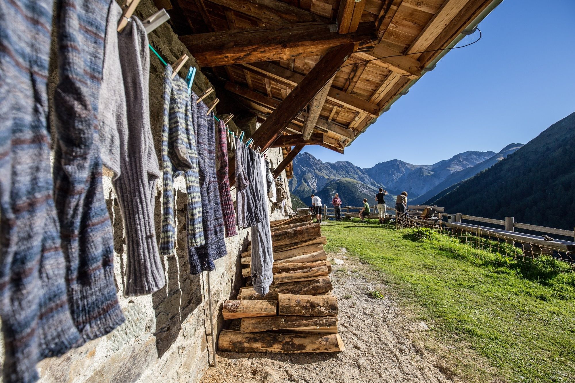
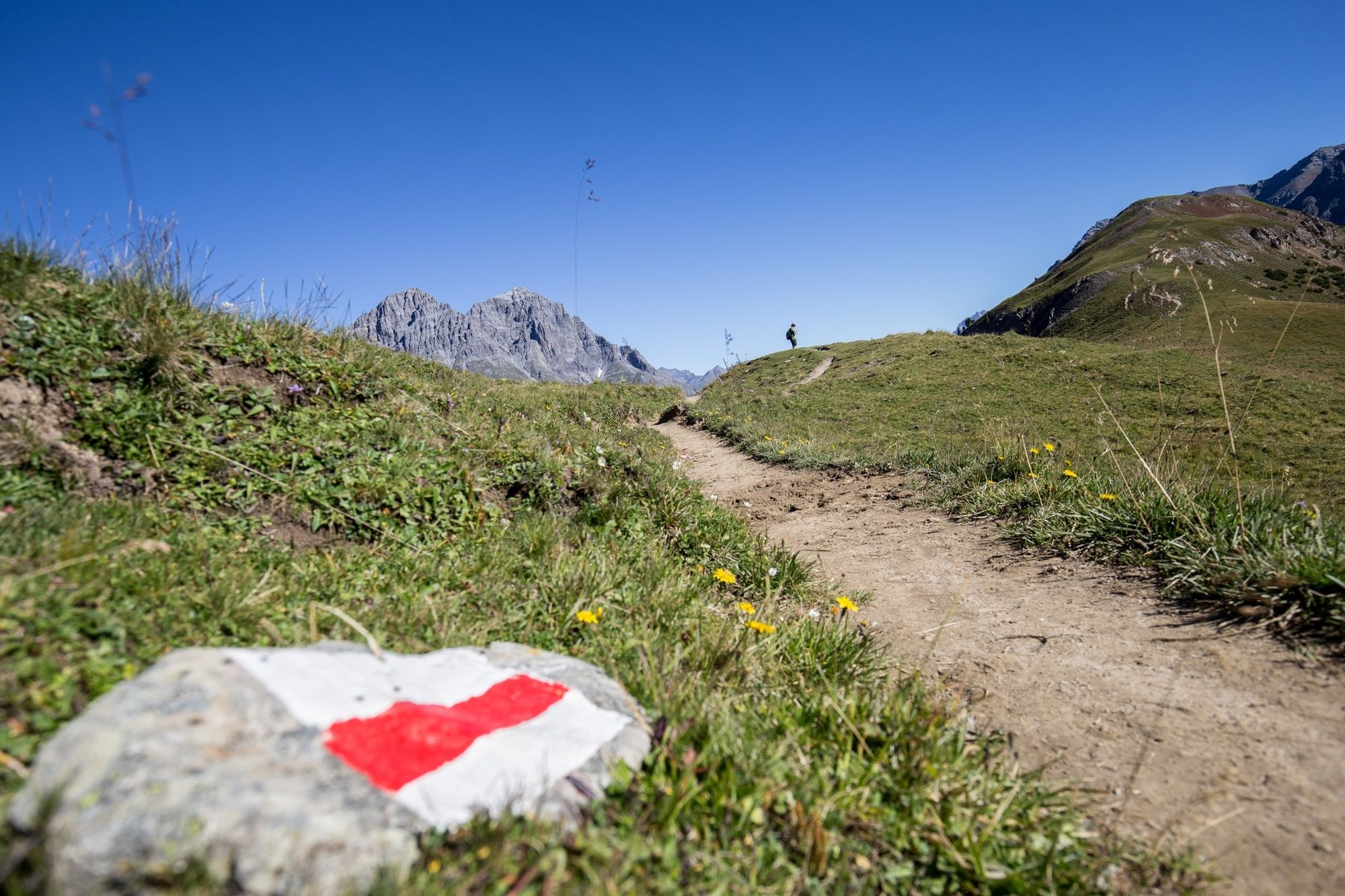
The hike starts at the post bus stop S-charl (1790 m a.s.l.) or at the car park in front of the village, for which a fee is charged. It passes the Schmelzra Museum right at the beginning, where, in addition to the ruins of former mining buildings, there is also the Mining and Bear Museum, which is worth a visit before or after the hike.At the Schmelzra level, the trail crosses the Clemgia valley river, and leads across the delta of the stream from the Val Tavrü. The path leads through a larch and pine forest up to Alp Tavrü. After the alp, the signposted trail climbs quite steeply to the Mot Tavrü rest area (2315 m a.s.l.). From here, red deer herds can be observed in the Val Foraz and at Mot Foraz. It is therefore worth carrying a telescope on this tour.After the rest area, the trail continues for another ten minutes to the summit of Mot Tavrü (2420 m a.s.l.), and then on the same route as the ascent back to the starting point in S-charl.
- Highest point
- 2,392 m
- Endpoint
-
PostBus Stop S-charl
- Height profile
-
 © outdooractive.com
 - Equipment
-
Hiking shoes, warm clothing, sun and rain protection, binoculars recommended.
- Safety instructions
-
The tour was assessed in favourable weather conditions, it is imperative that the current weather conditions and weather forecasts are observed before starting the tour.
Emergency call:
144 Emergency call, first aid
1414 Mountain rescue REGA
112 International emergency call
- Tips
-
A visit to the Museum Schmelzra with its bear exhibition is very rewarding. The experience-oriented exhibition gives an insight into the past, the way of life, the biology and the return of the brown bears. It is especially suitable for children. https://www.nationalpark.ch/en/visit/schmelzra-museum/bear-exhibition/
On the adjacent bear discovery trail, 9 interactive stations captivate young and old and provide practical tips on how to behave in a bear area. https://www.nationalpark.ch/en/visit/educational-trails/bear-discovery-trail/
- Arrival
-
- From the north: via Landquart - Klosters by car transport through the Vereina Tunnel (Selfranga - Sagliains) or via the Flüela Pass to Scuol. The summer village of S-charl can be reached from Scuol in around 25 minutes.
- From the east: via Landeck / Austria in the direction of Scuol and then also turn into the side valley Val S-charl.
Due to the sometimes narrow road conditions, we recommend travelling from Scuol to S-charl by PostBus.
- Public transportation
-
- By Rhaetian Railway (from Chur, Landquart/Prättigau or from the Upper Engadine) hourly to Scuol-Tarasp station.
- By PostBus (from Martina, Sent, Ftan or Tarasp) hourly service to Scuol-Tarasp station.
- Continue by PostBus with hourly connection to the PostBus stop S-charl
- Parking
-
- Paid parking spaces at the entrance to S-charl
- Author
-
The tour Swiss National Parc: S-charl – Mot Tavrü (Return Route) is used by outdooractive.com provided.


General info
-
Engadin Samnaun Val Müstair
559
-
Tschierv
148