


- Brief description
-
A hike for parents who love exercise. T1
- Difficulty
-
medium
- Rating
-
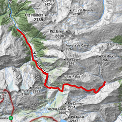
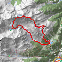
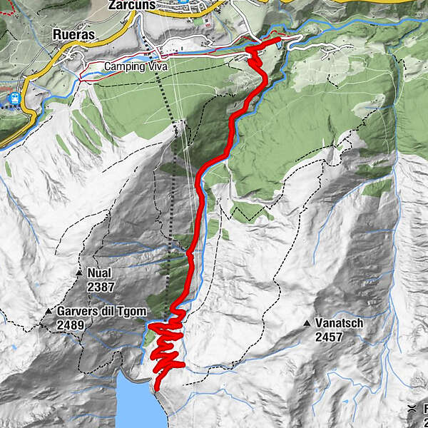
- Route
-
Surrein (Tujetsch)0.6 kmSurrein (Tujetsch)15.8 km
- Best season
-
JanFebMarAprMayJunJulAugSepOctNovDec
- Description
-
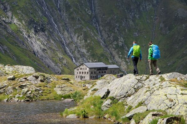
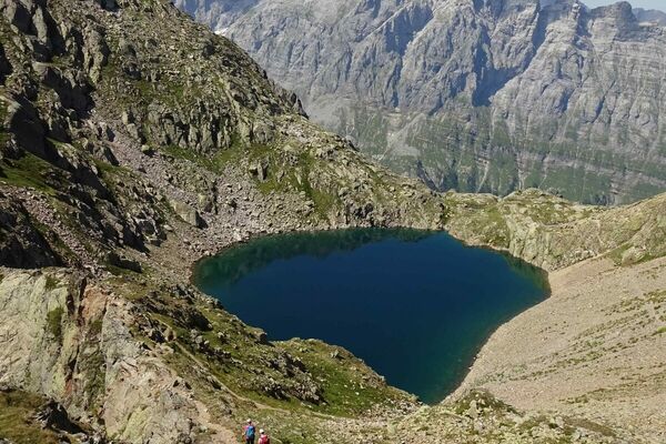
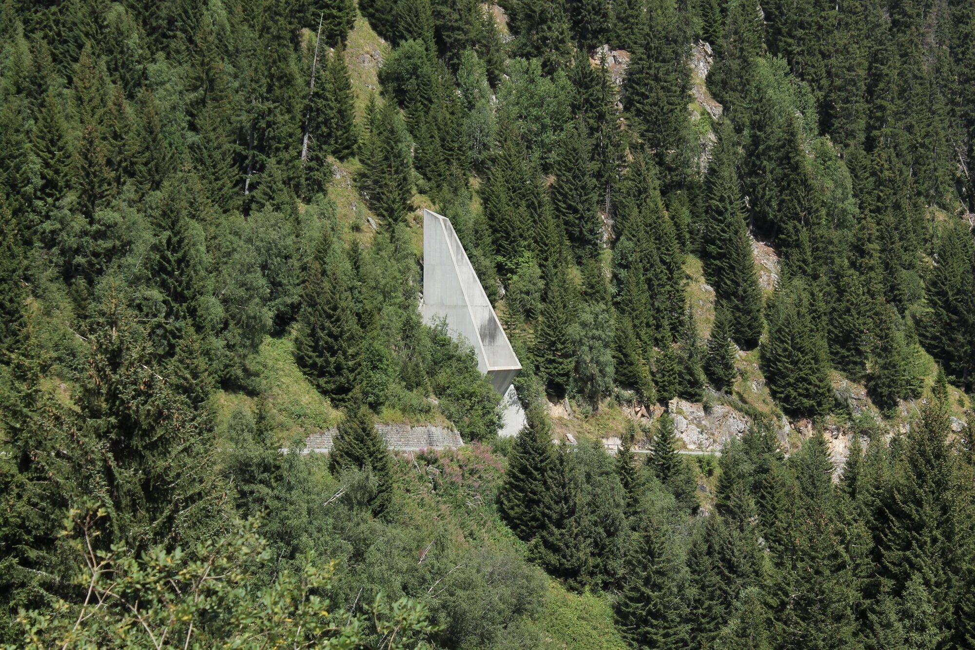
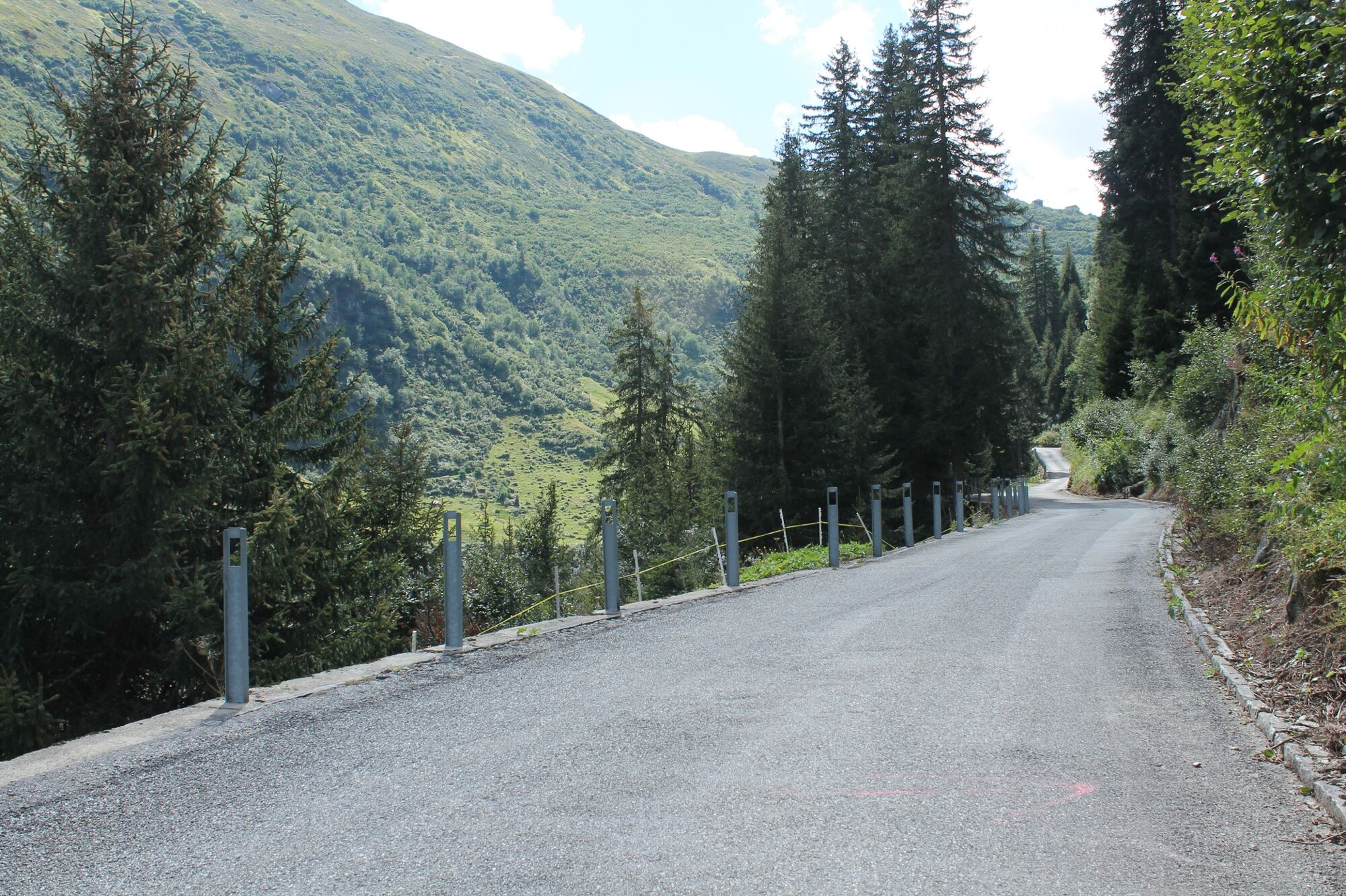
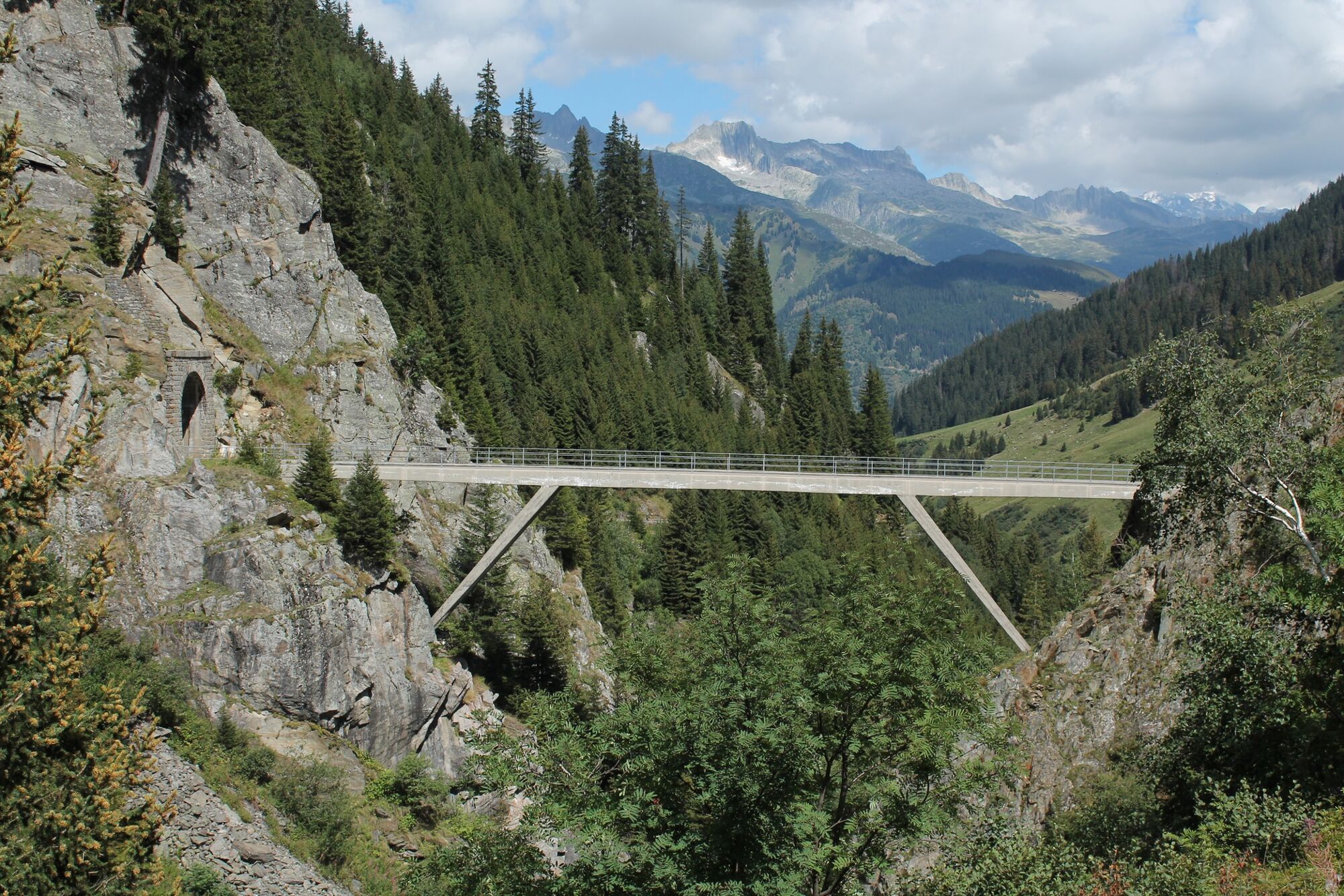
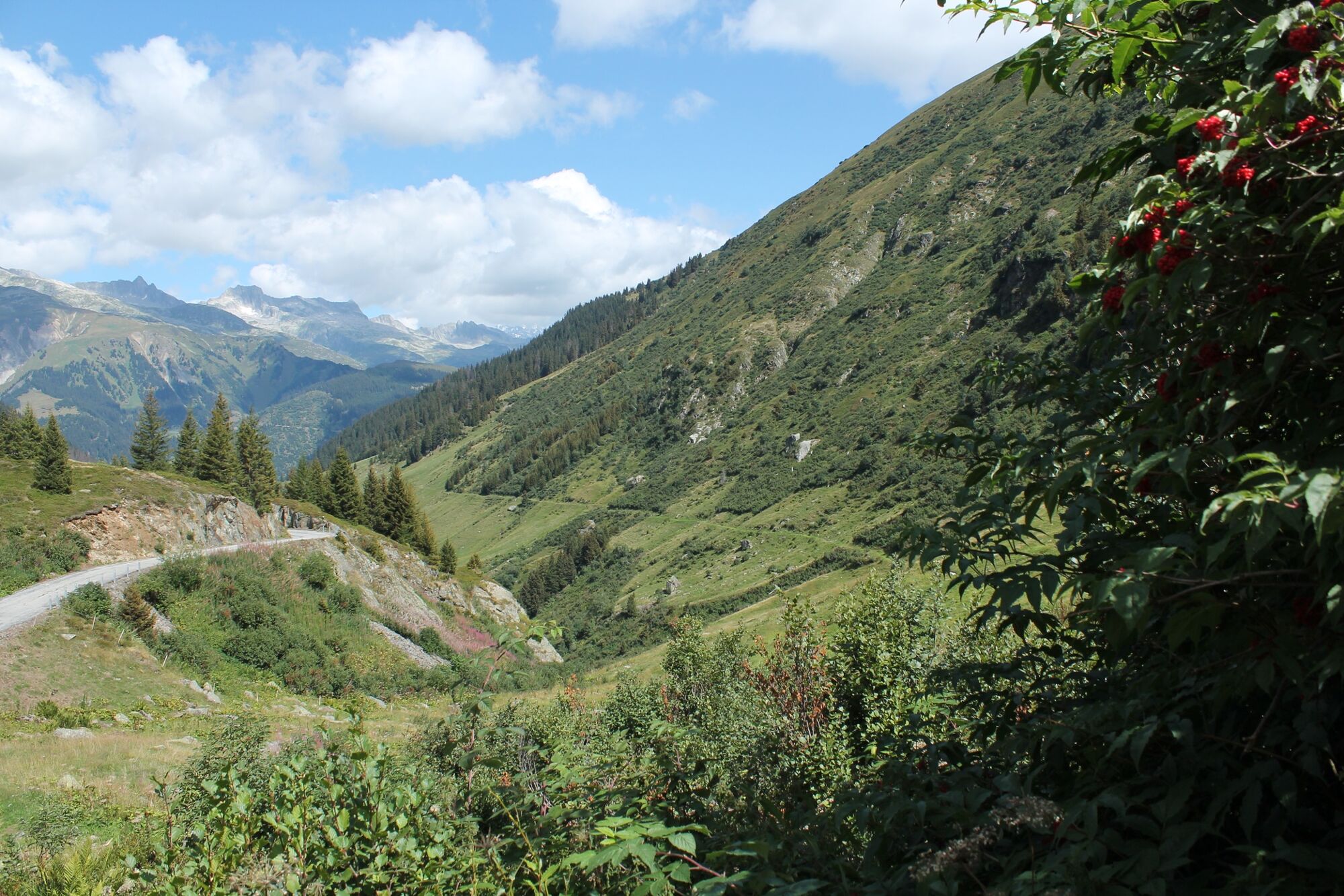
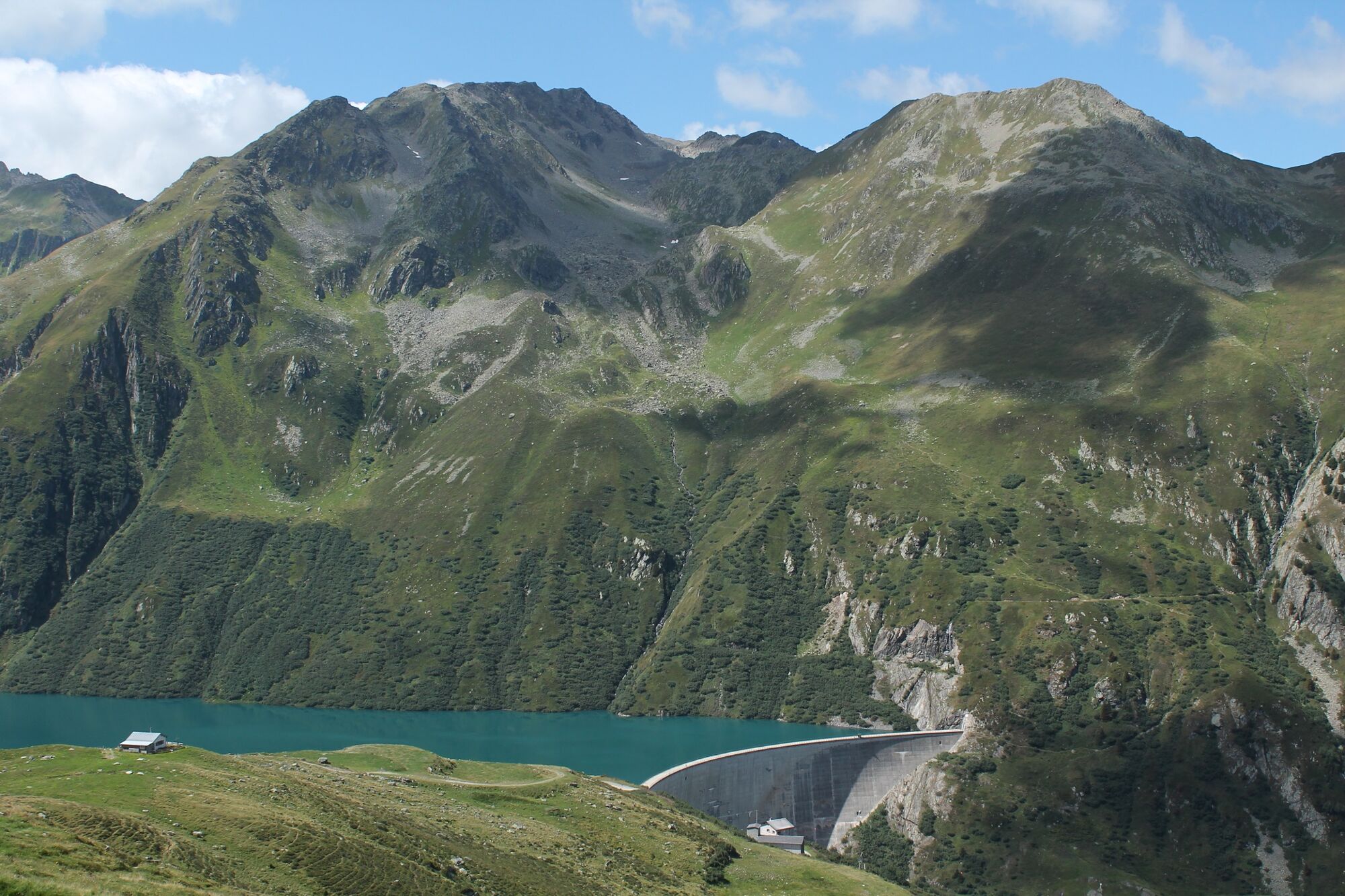
An asphalted and almost traffic-free road leads into Val Nalps, which was built in the sixties for the construction of the dam. The slope is nice and even and we make good progress. The exhaust shaft of the NEAT tunnel arouses our interest: 800 meters below, the fast trains from Erstfeld to Bodio roar through the 57km long base tunnel since 2016. On the other side of Rein da Nalps we see the alpine pastures of Pardatsch. The alpine path used to lead over this alp into the valley. Before the old and the new path reunite, we have to cross a dark, unlit tunnel. There is only one thing to do: enter courageously, because after a short time the end is visible again. Then, in ten wide hairpin bends, the last meters of altitude up to the dam wall are overcome. We can rest on a bench and let our eyes wander over the lake and to the surrounding mountains.
Along the lake there is still an old tank track, because until a few decades ago the military practiced here with tank howitzers. Today we simply enjoy the tranquility of this beautiful mountain valley.
The way back is on the same route.
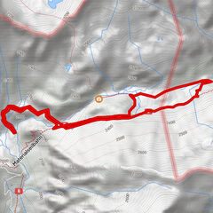
- Highest point
- 1,966 m
- Endpoint
-
Sedrun/Surrein
- Height profile
-
 © outdooractive.com

-

-
AuthorThe tour With stroller to the reservoir Nalps is used by outdooractive.com provided.


General info
-
Uri
1548
-
Disentis Sedrun
515
-
Tujetsch
160