
- Brief description
-
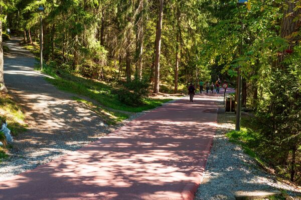
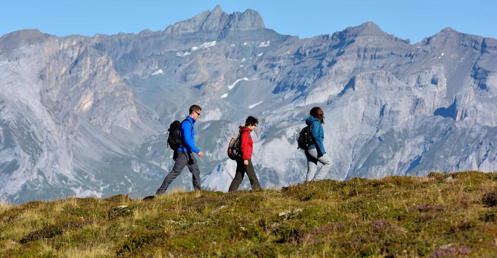
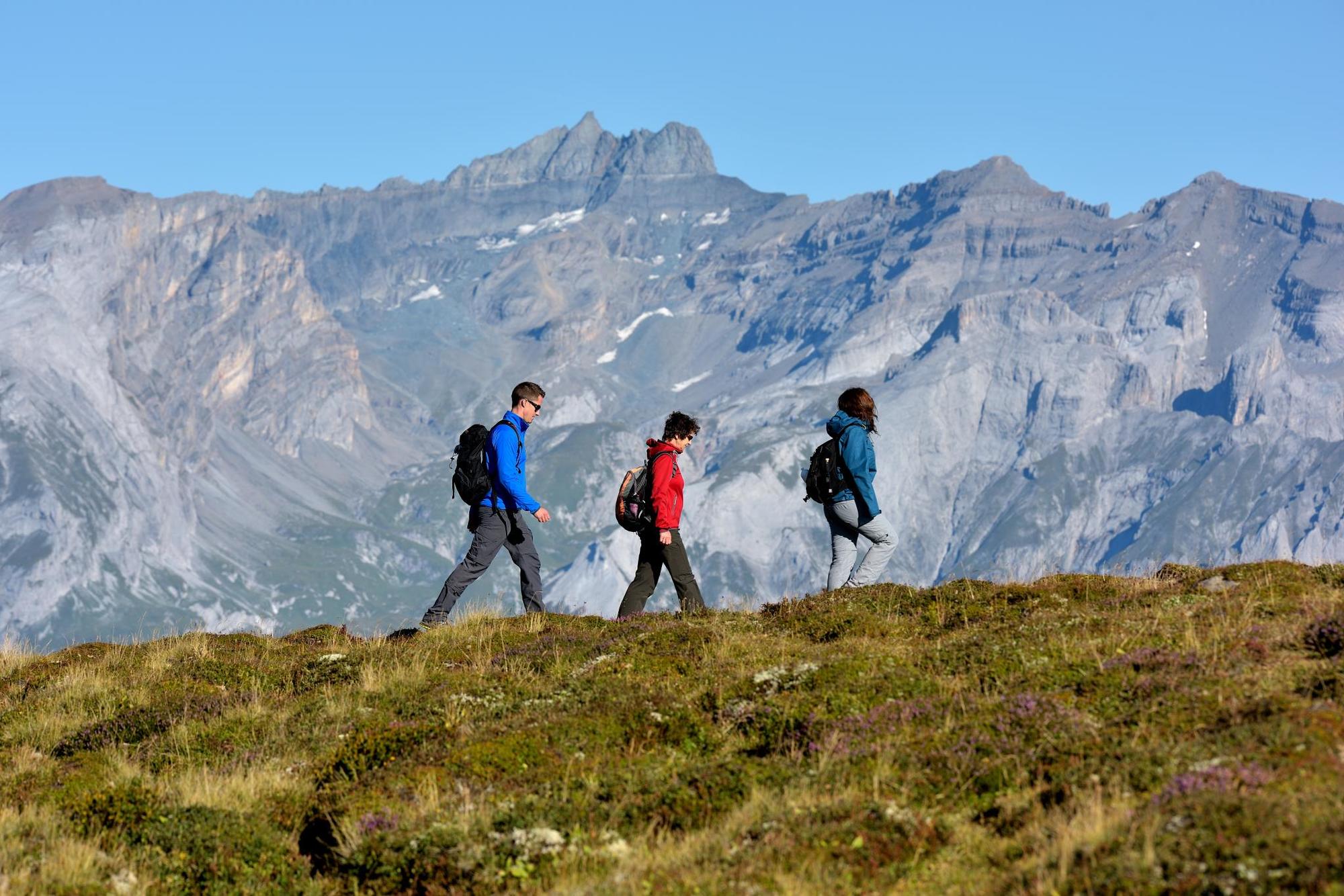
Beautiful and scenic tour with picturesque wooded sections and panoramic views.
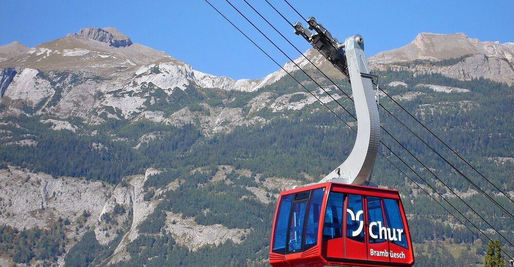
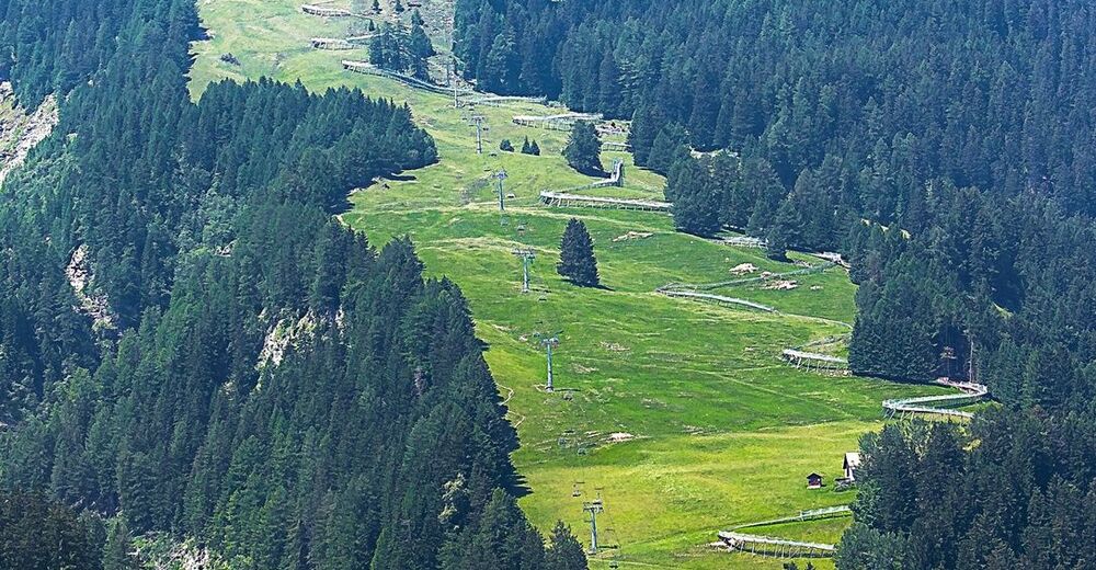
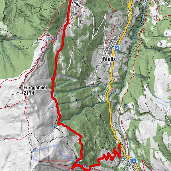
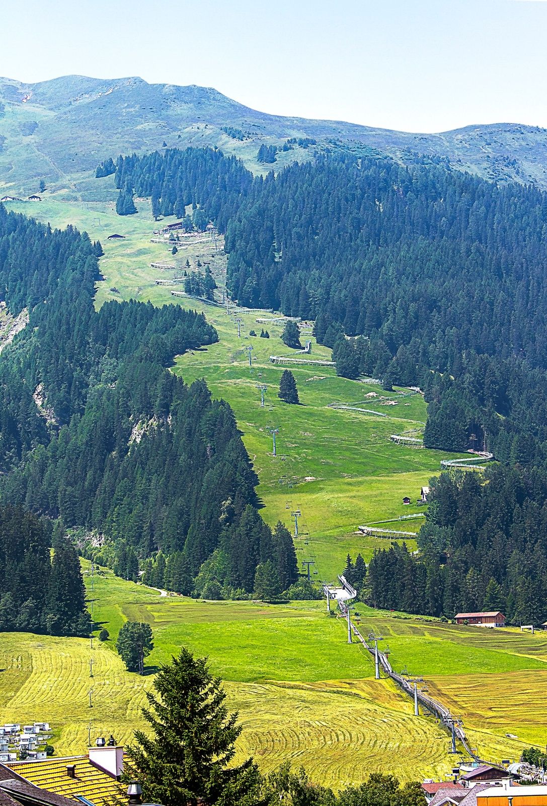
From the train station Chur you can reach the valley station of Chur-Dreibündenstein mountain railways either by city bus (line 1, stop Stadthalle) or on foot in about 15 minutes. The hike begins at the summit station of the Brambrüesch cable car. Through picturesque woodland sections the Malix Alp is soon reached. Relatively flat and with wonderful panoramic views you first pass the Galtialp, later the Bärenalp and finally the Pradaschieralp. Several fireplaces for a rest and a magnificent mountain flora accompany the hiker - a real pleasure hike! Soon the mountain station of the Pradaschier-Bahn is reached, where a cozy mountain restaurant with a large sun terrace invites you to a visit. You will reach the village Churwalden by the longest toboggan run in the world, a truly memorable experience! Alternatively, you can reach Churwalden by chair lift or on foot on the hiking trail. From Churwalden the, Postauto will return to Chur within 30 minutes.
Note: For the hike, an attractive round trip ticket is available at the Chur-Dreibündenstein mountain railways, which includes the ascend from Chur to Brambrüesch, two runs with the toboggan run Pradaschier - Churwalden and the return trip by Postauto from Churwalden to Chur.
- Difficulty
-
easy
- Rating
-
- Route
-
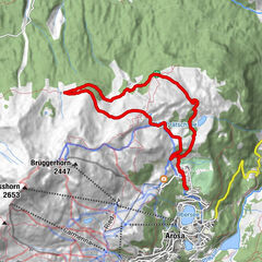
Chur (593 m)Brambrüesch0.2 kmberg.baiz0.5 kmEdelweishütte1.6 kmBergrestaurant Pradaschier (1,814 m)6.6 kmPradaschier (1,730 m)6.7 kmPradaschier (1,355 m)8.5 kmSt. Maria und Michael9.6 km
- Best season
-
JanFebMarAprMayJunJulAugSepOctNovDec
- Description
-
Option A: From the mountain restaurant Brambrüesch follow the hiking trail to the Malixer Alp and further to the Dreibündenstein. Descent over Grüenenbüel to Pradaschier (hiking time approx. 3 h 15 min.)
Option B: Hiking trail to Churwalden.
- Highest point
- 1,826 m
- Endpoint
-
Churwalden
- Height profile
-
 © outdooractive.com
 - Tips
-
Catering in the mountain restaurant Pradaschier
- Directions
-
From Basel and Zurich - Chur-Sued (exit no. 17)
From Milano - Lugano - San Bernadino Tunnel - Thusis - Chur. - Public transportation
-
From the train station Chur you can reach the valley station of the Chur-Dreibündenstein mountain railways either by city bus (line 1, stop Stadthalle) or on foot in about 15 minutes.
- Parking
-
Guests of the Chur mountain railways park on the Stadthallen parking free of charge. For this purpose, mentioning the plate number at the cash desk is mandatory!

- Author
-
The tour Brambrüesch-Pradaschier (without Dreibündenstein – small route) is used by outdooractive.com provided.

General info
-
Heidiland
2201
-
Chur und Rheintal
868
-
Pradaschier / Churwalden
225