© Surselva Tourismus AG - Markus Isenmann

© Surselva Tourismus AG - Markus Isenmann

© Surselva Tourismus AG - Markus Isenmann

© Surselva Tourismus AG - Markus Isenmann
- Brief description
-
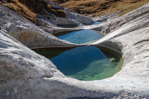
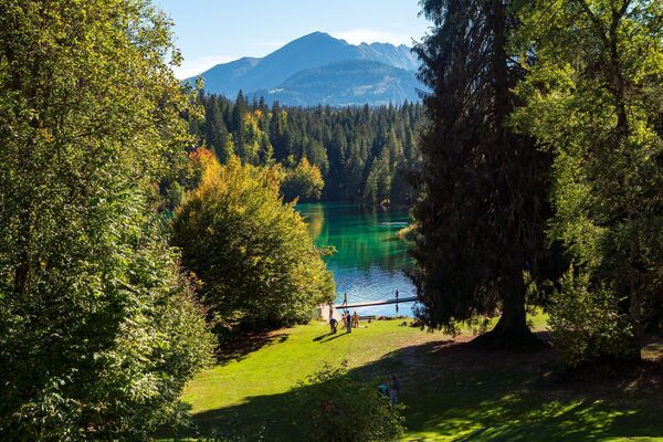
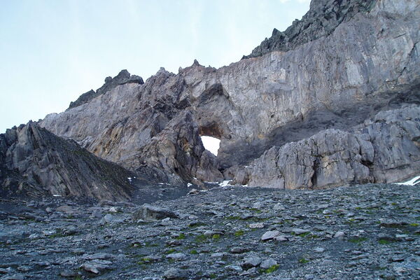
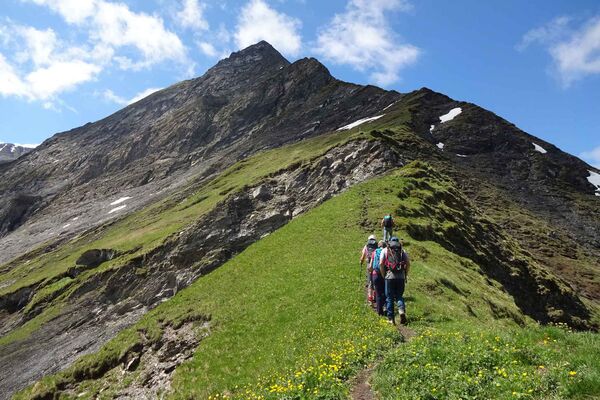
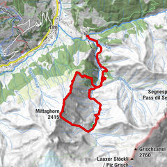
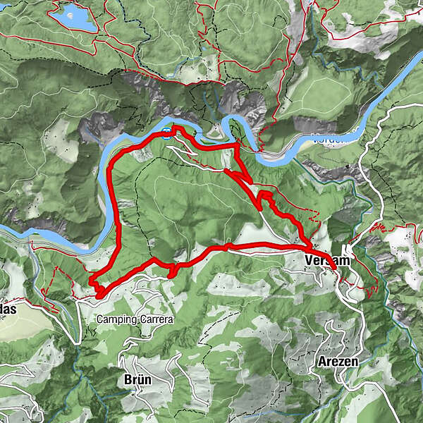
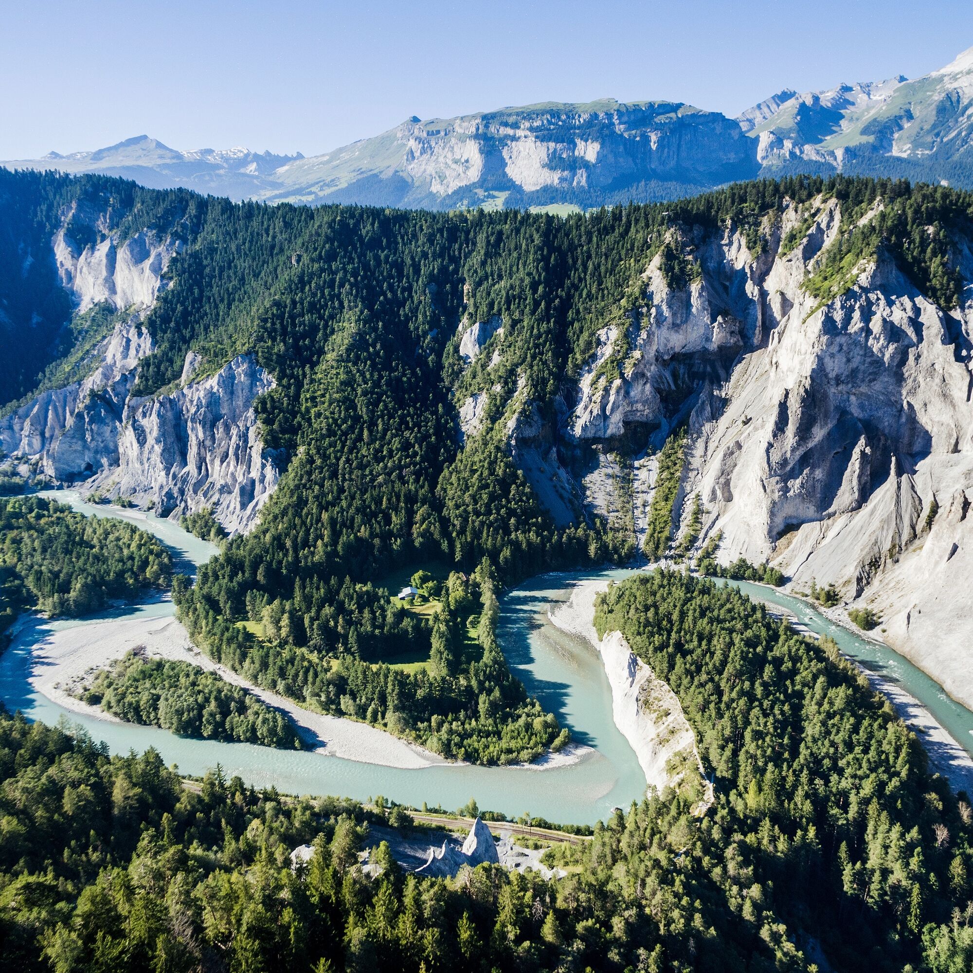
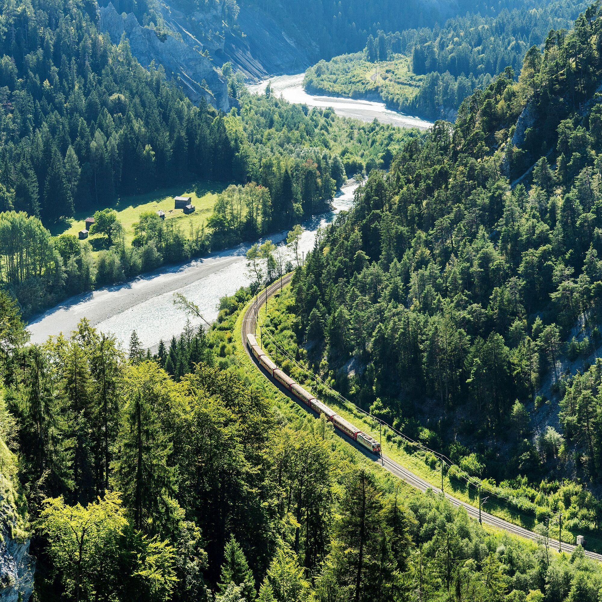
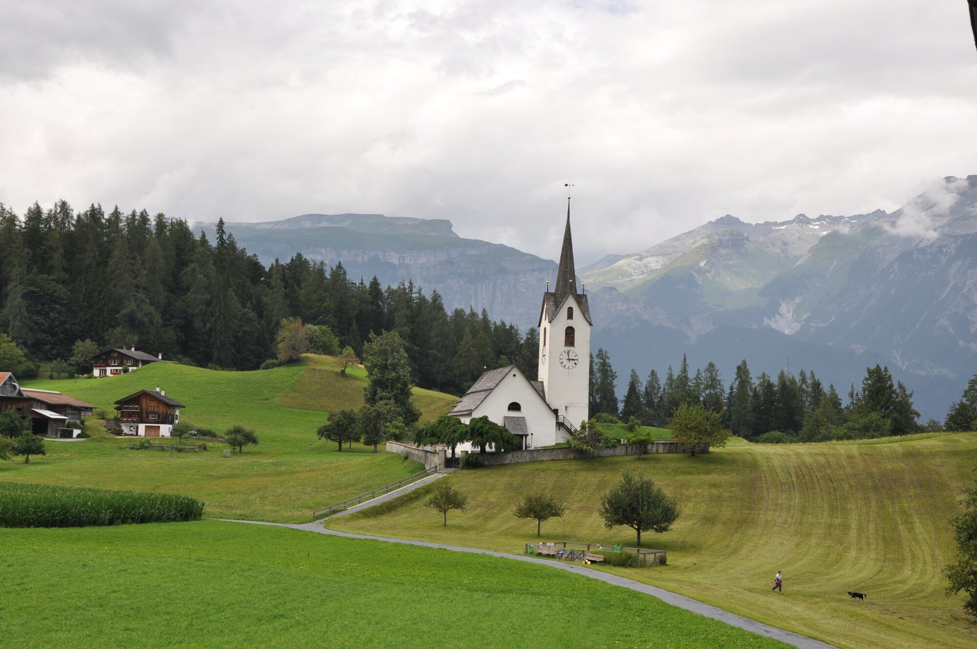
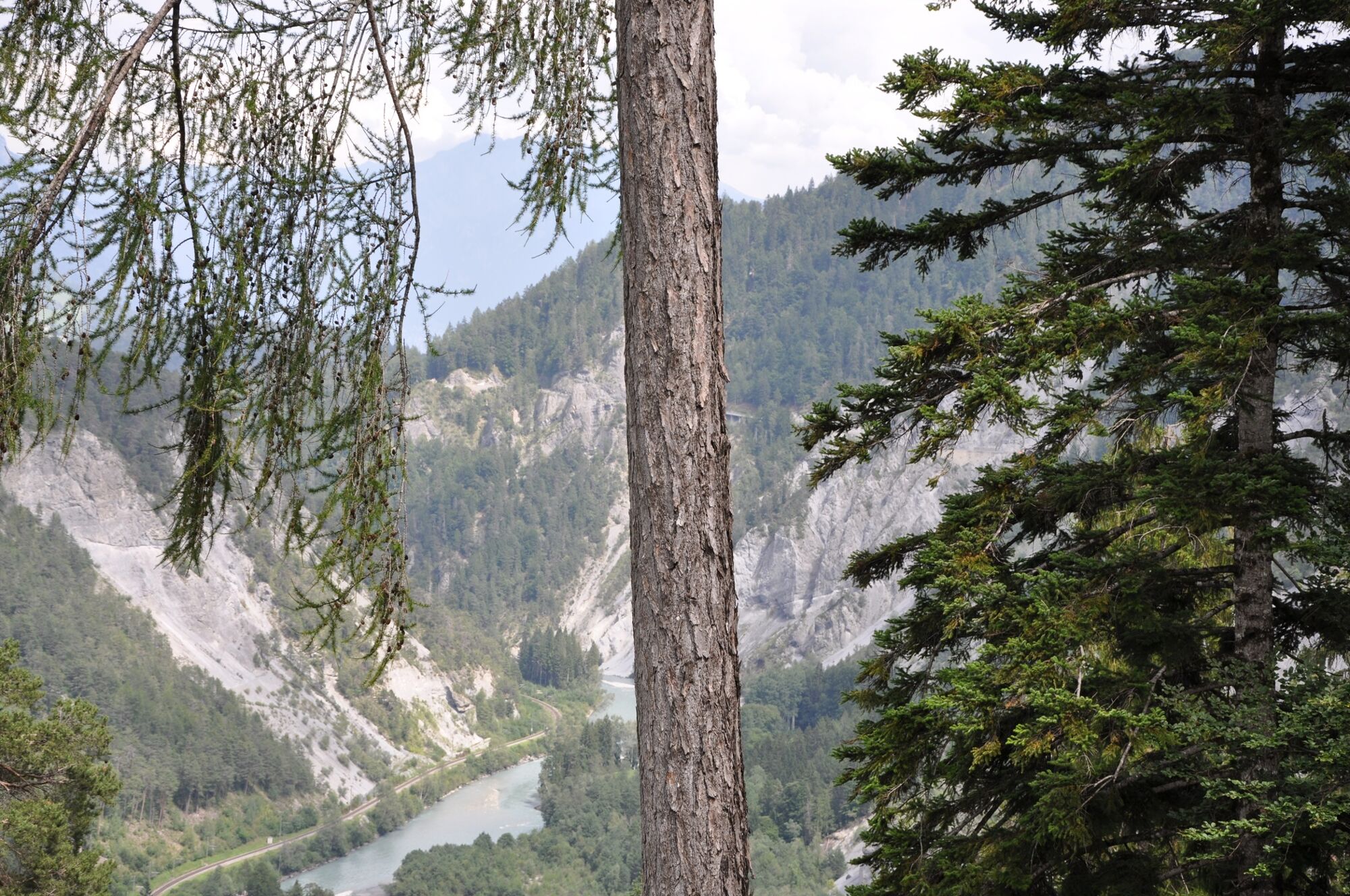
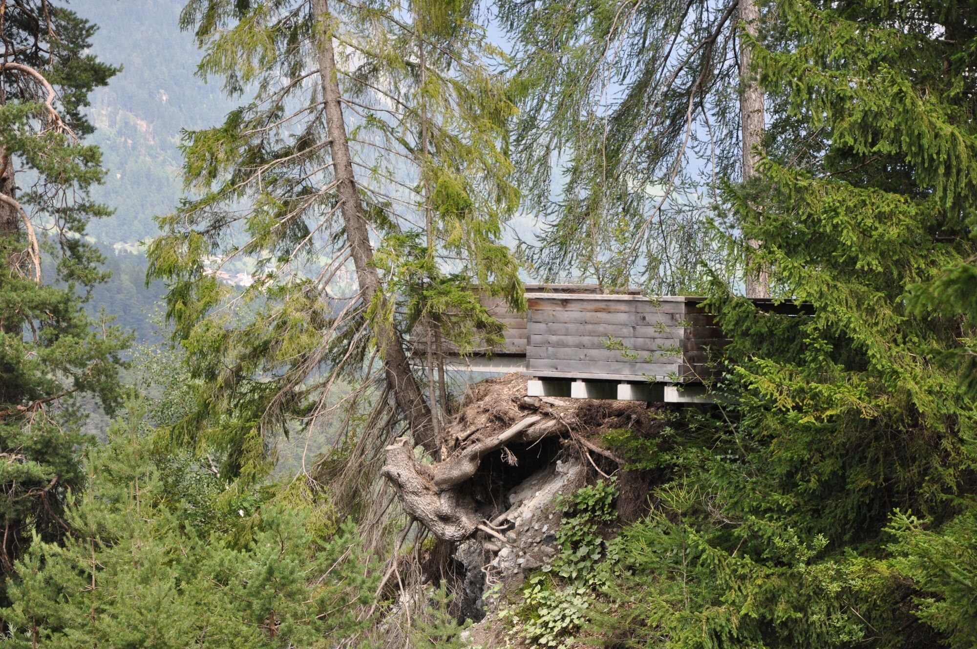
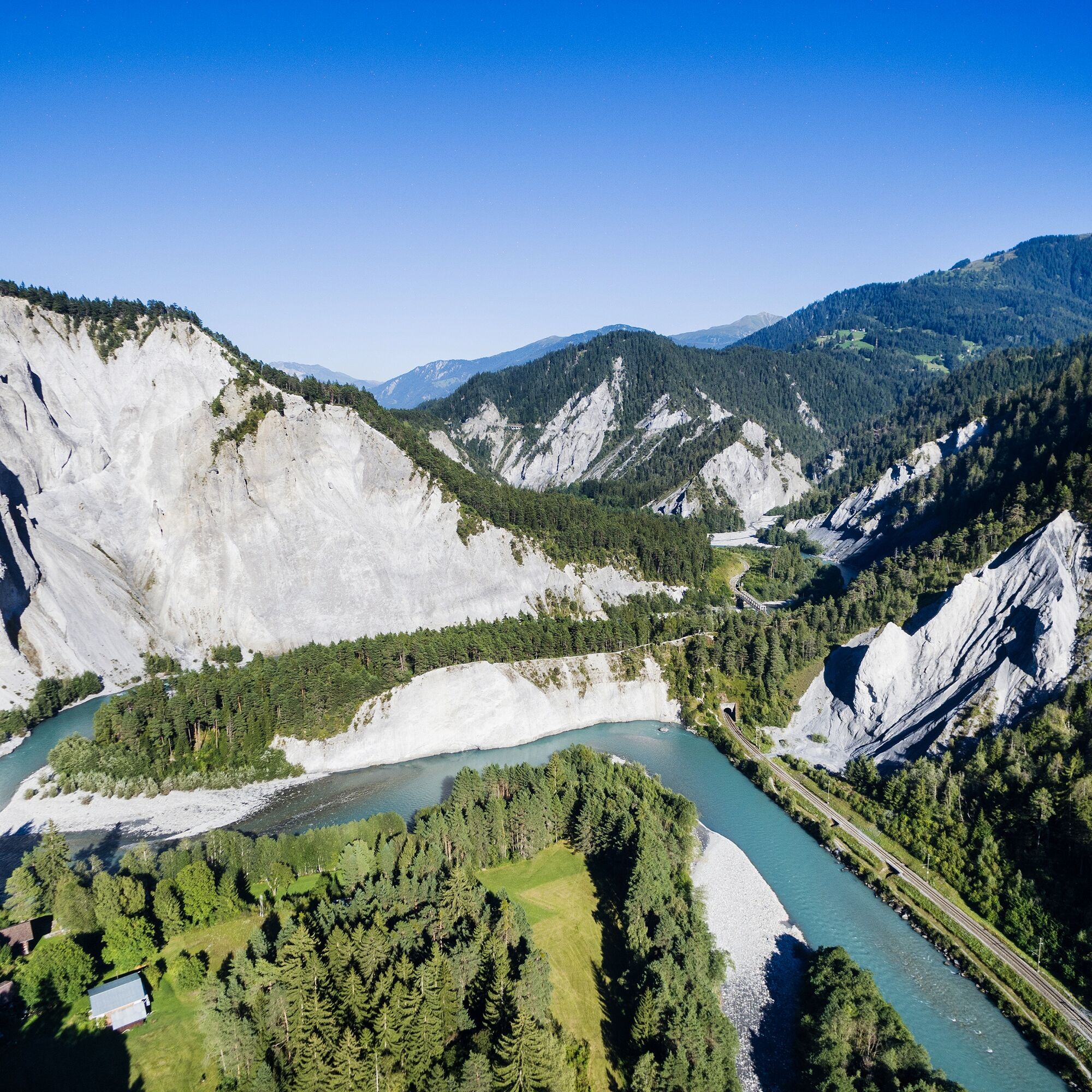
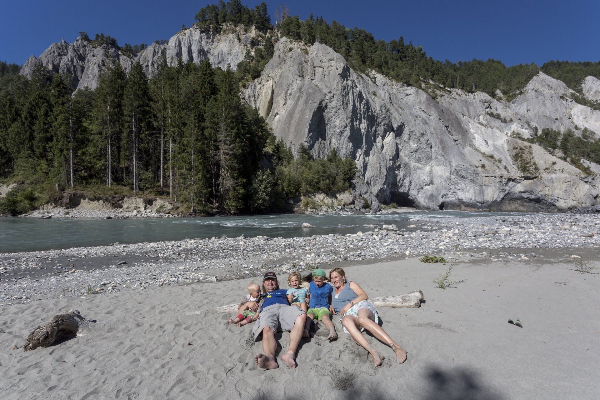
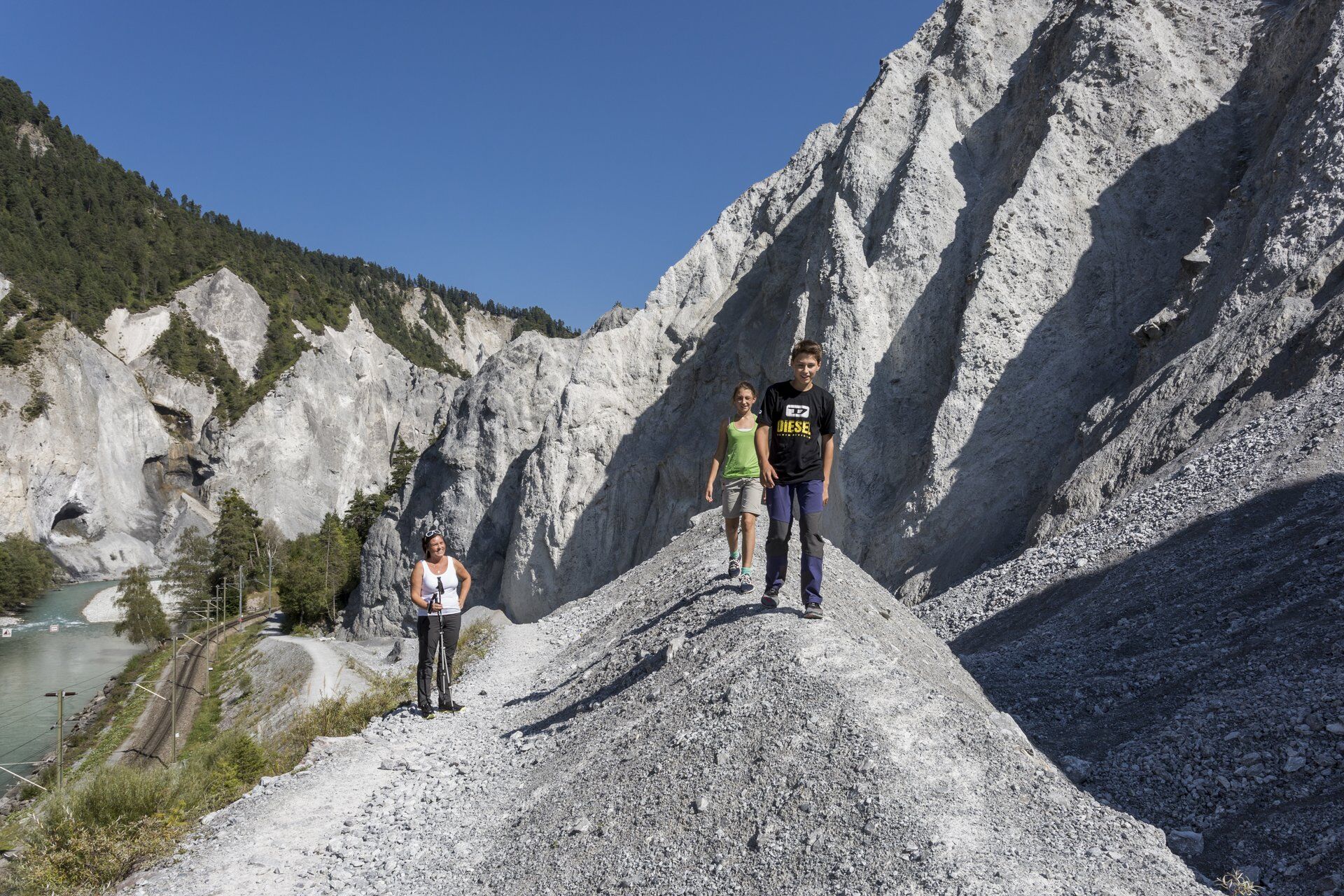
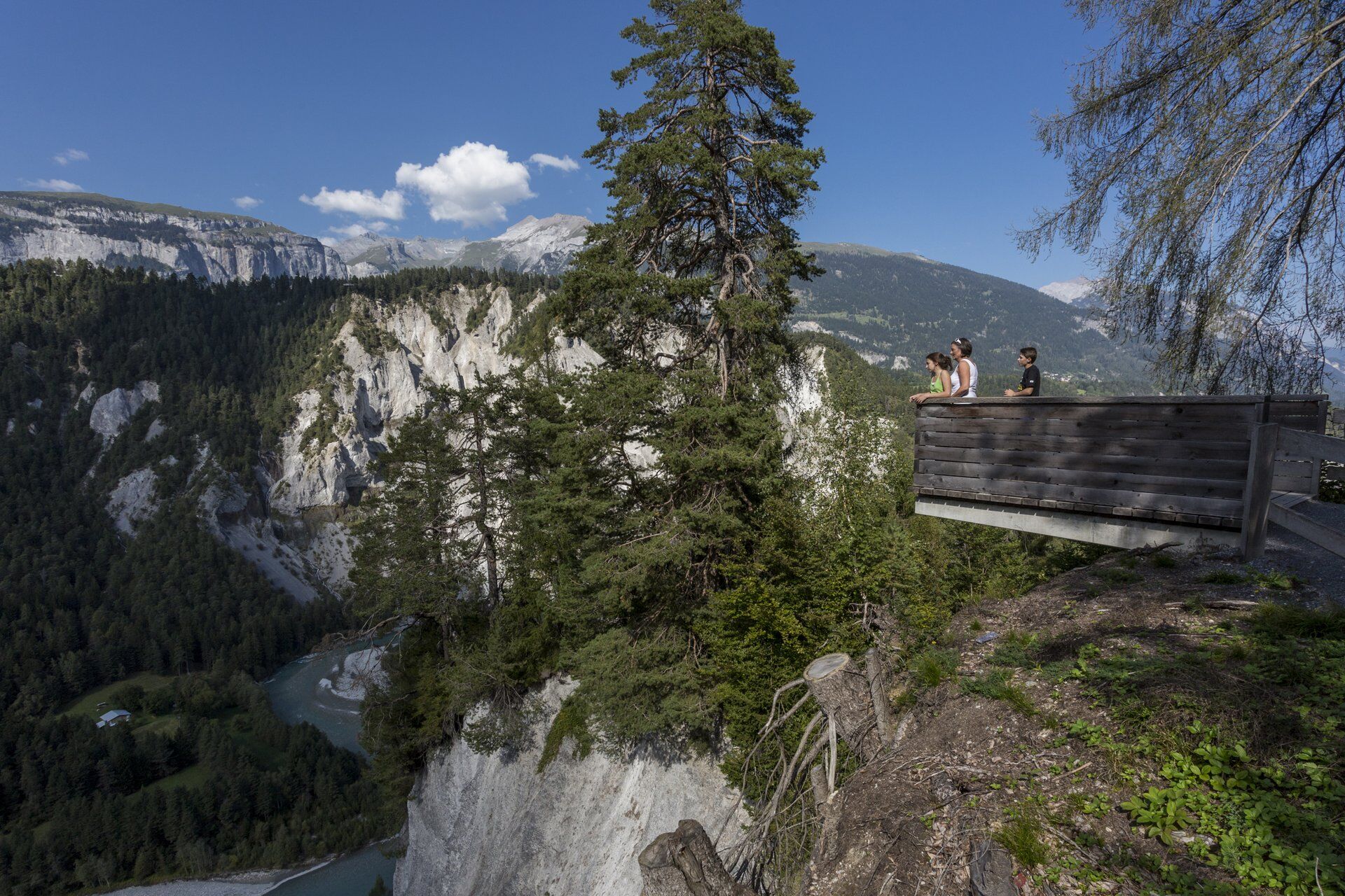
Auf dieser Wanderung erlebt man die Rheinschlucht einerseits aus der Höhe mit spektakulären Ausblicken und andererseits durchwandert man sie direkt entlang dem Rhein.
- Difficulty
-
medium
- Rating
-
- Route
-
Versam0.1 kmVersam-Safien (635 m)4.6 kmIsla6.8 kmCarrera7.7 kmVersam11.1 km
- Best season
-
JanFebMarAprMayJunJulAugSepOctNovDec
- Highest point
- 934 m
- Endpoint
-
Versam Dorf
- Height profile
-
 © outdooractive.com
- Author
-
The tour Rundwanderung Rheinschlucht is used by outdooractive.com provided.
GPS Downloads
General info
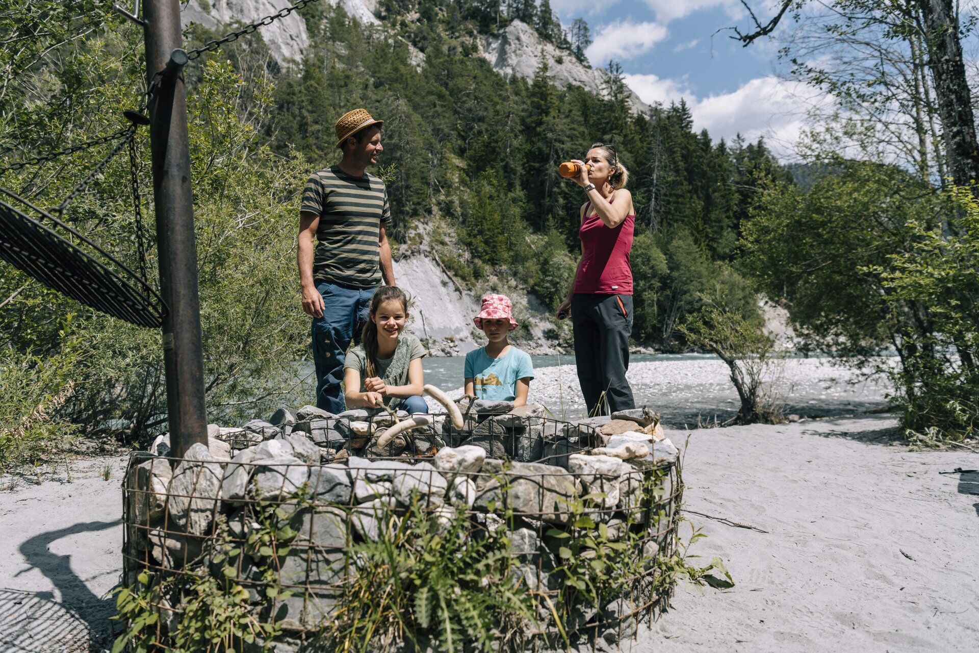
Refreshment stop
Flora
Fauna
A lot of view
Other tours in the regions
-
Heidiland
2201
-
Flims Laax Falera
772
-
Trin
277