© Surselva Tourismus AG - Antonella Klee

© Surselva Tourismus AG - Antonella Klee

© Surselva Tourismus AG - Antonella Klee

© Surselva Tourismus AG - Antonella Klee

© Surselva Tourismus AG - Antonella Klee

© Surselva Tourismus AG - Antonella Klee

- Brief description
-
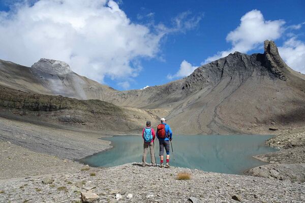
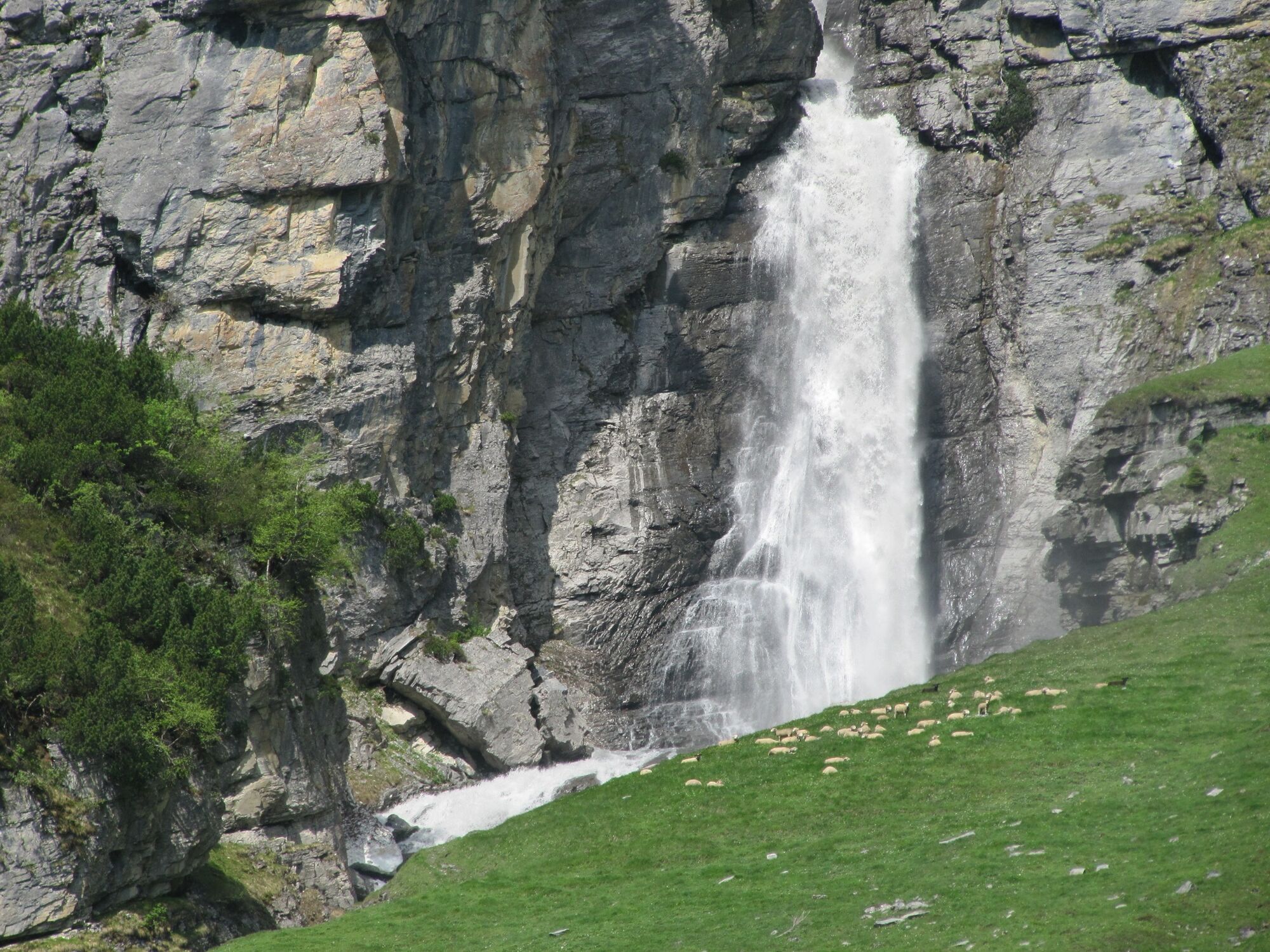
A walk to an unusual historical monument on the Panix dam wall and the romantic, high cascading waterfalls at the Lag da Pigniu (in German, Panix Lake; in English, Lake Pigniu).
- Difficulty
-
medium
- Rating
-
- Starting point
-
Andiast
- Route
-
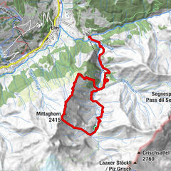
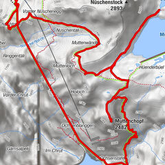
Andiast (1,178 m)St. Julitta und St. QuiricusPattadiras1.1 kmPrauscharun1.9 kmTscheppa2.3 kmPanix (1,301 m)2.9 kmPanix (1,301 m)10.5 kmClavau Griu11.1 kmSt. Julitta und St. Quiricus13.1 kmAndiast (1,178 m)13.1 km
- Best season
-
JanFebMarAprMayJunJulAugSepOctNovDec
- Description
-
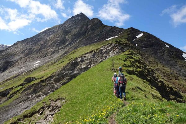
The walk starts in Andiast, a sunny mountain village with panoramic views of the surrounding mountains. On the trek toward Panix there are two fire pits, the family rest area at Camartgin has a large playground, keeping children well entertained. The dirt road then leads part way along the «Schmuerbach» creek up to the dam wall. The dam wall is covered in a mural by the Graubünden artist Martin Valär depicting Russian Field Marshal Suvorov crossing the Panix pass as he fled from the French army with his troops, in 1799.
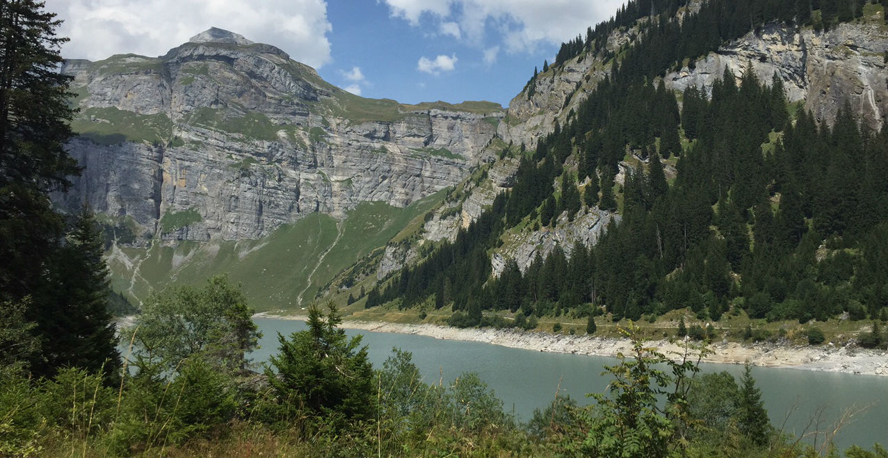
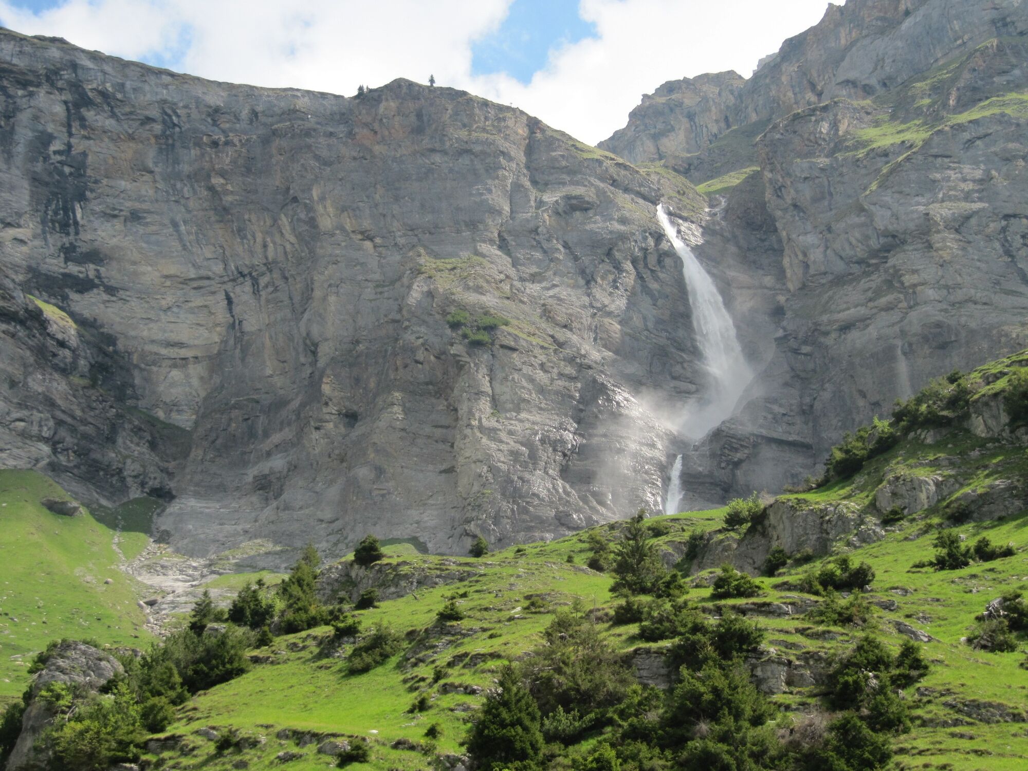
During a walk around the lake you can admire the high cascading waterfalls. Also on display are the magnificent mountains like Péz Fluaz (2814m). It's worth taking a break at the fire pit by the lake to enjoy the views and tranquillity. The fireplaces have a grill and firewood.
If you still have enough stamina on the return hike, there is an option to use the climbing facility along the dam wall. Or for those in need of a break, several rest stops can be found in Pigniu / Panix or Andiast.
- Directions
-
Andiast - Camartgin - Lag da Pigniu - Andiast
- Highest point
- 1,470 m
- Endpoint
-
Andiast
- Height profile
-
 © outdooractive.com
 - Additional information


-

-
AuthorThe tour 679 Wasserfälle am Lag da Pigniu is used by outdooractive.com provided.
GPS Downloads


General info
Refreshment stop
A lot of view
Other tours in the regions
-
Glarnerland
1972
-
Obersaxen Mundaun
662
-
Pigniu
221