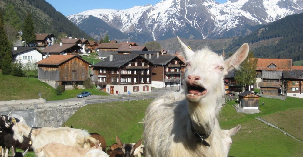
- Brief description
-
A day hike on comfortable forest trails with barbecue facilities along the way. T1
- Difficulty
-
easy
- Rating
-
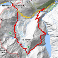
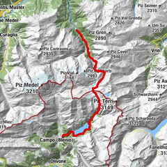
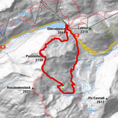
- Route
-
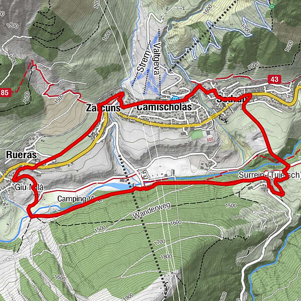
SedrunCamischolas0.1 kmZarcuns0.9 kmRueras1.7 kmPosta1.8 kmSurrein (Tujetsch)4.6 kmSedrun6.3 kmSedrun (1,441 m)6.9 km
- Best season
-
JanFebMarAprMayJunJulAugSepOctNovDec
- Description
-
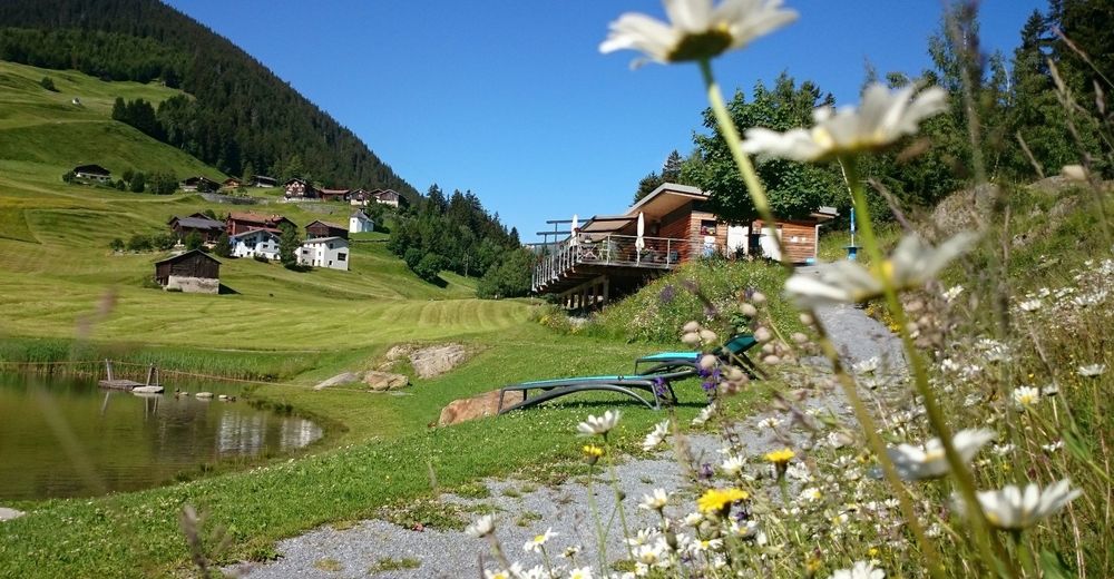
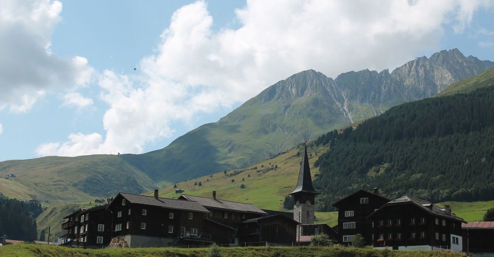
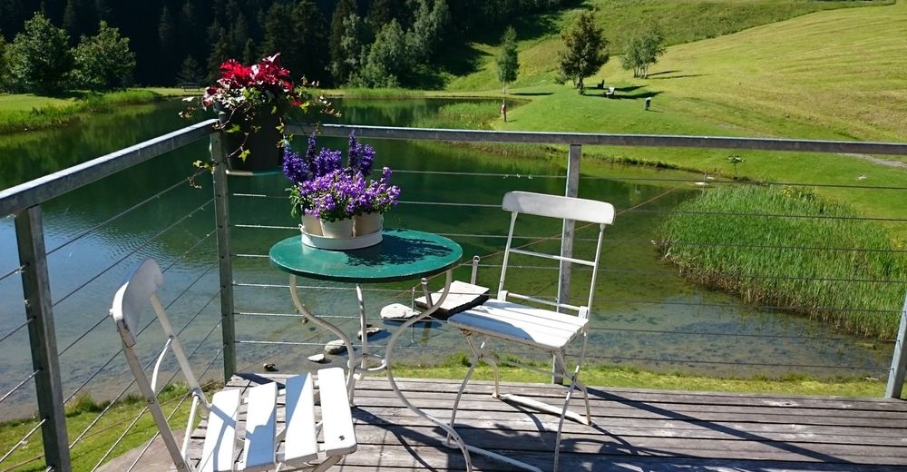
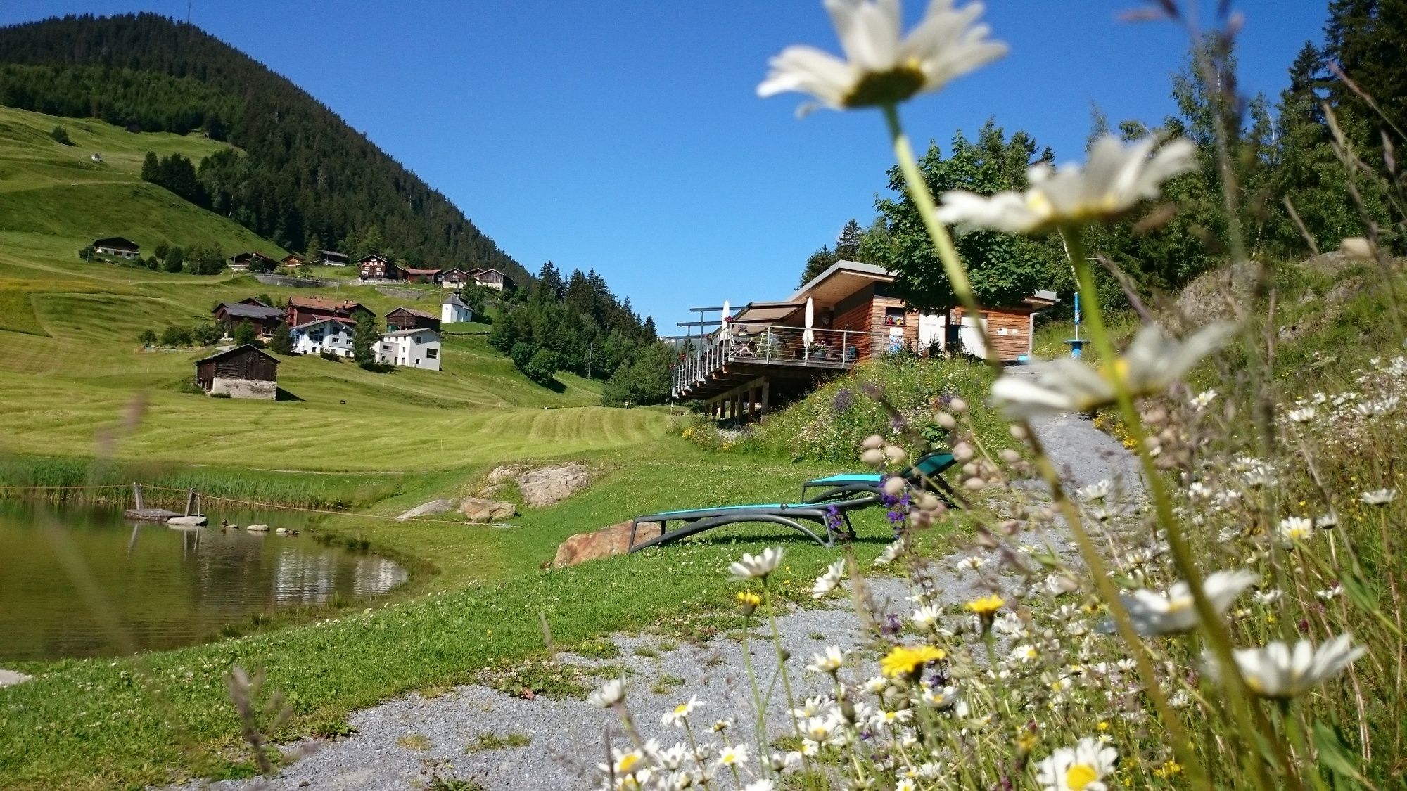
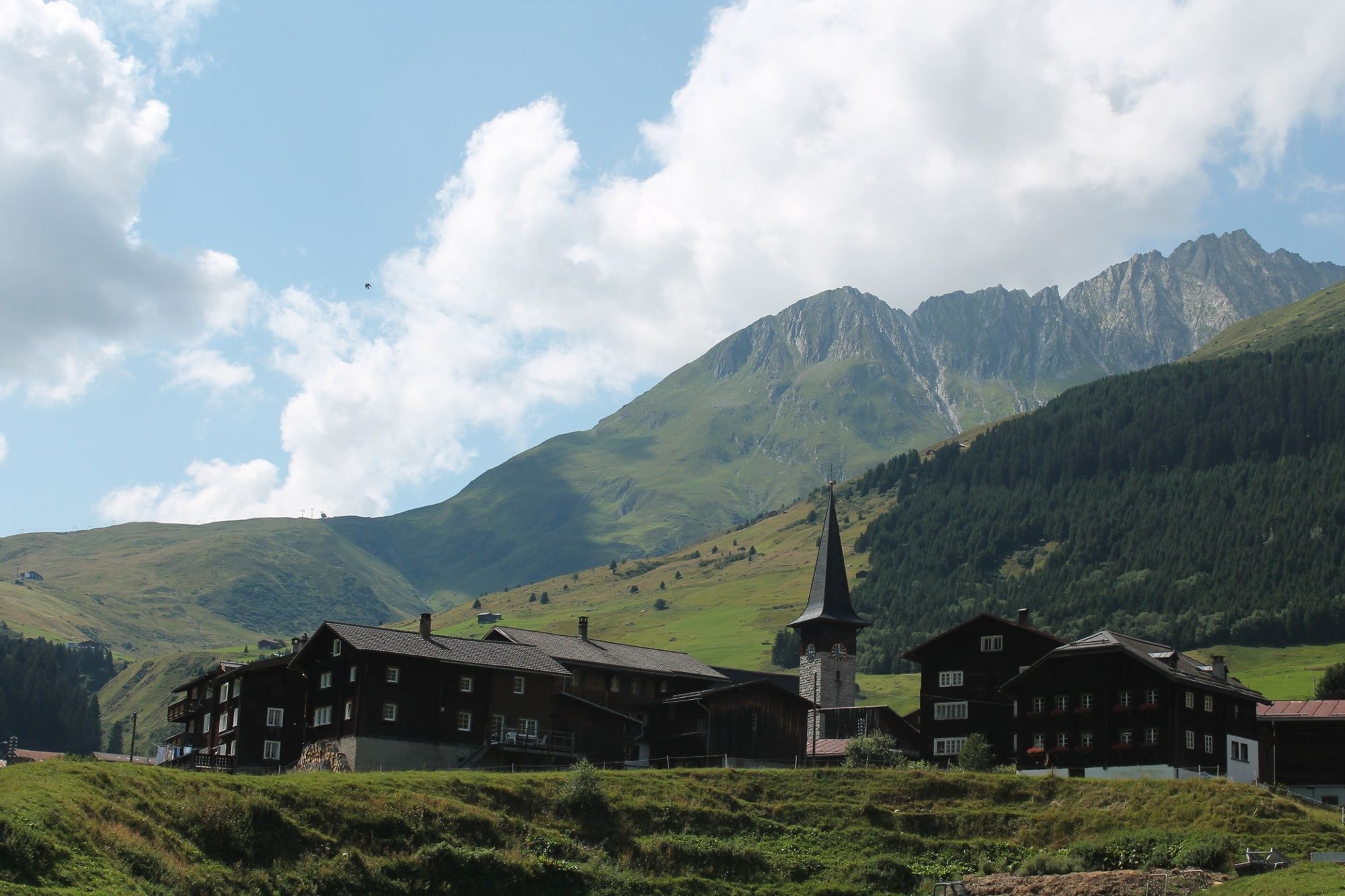
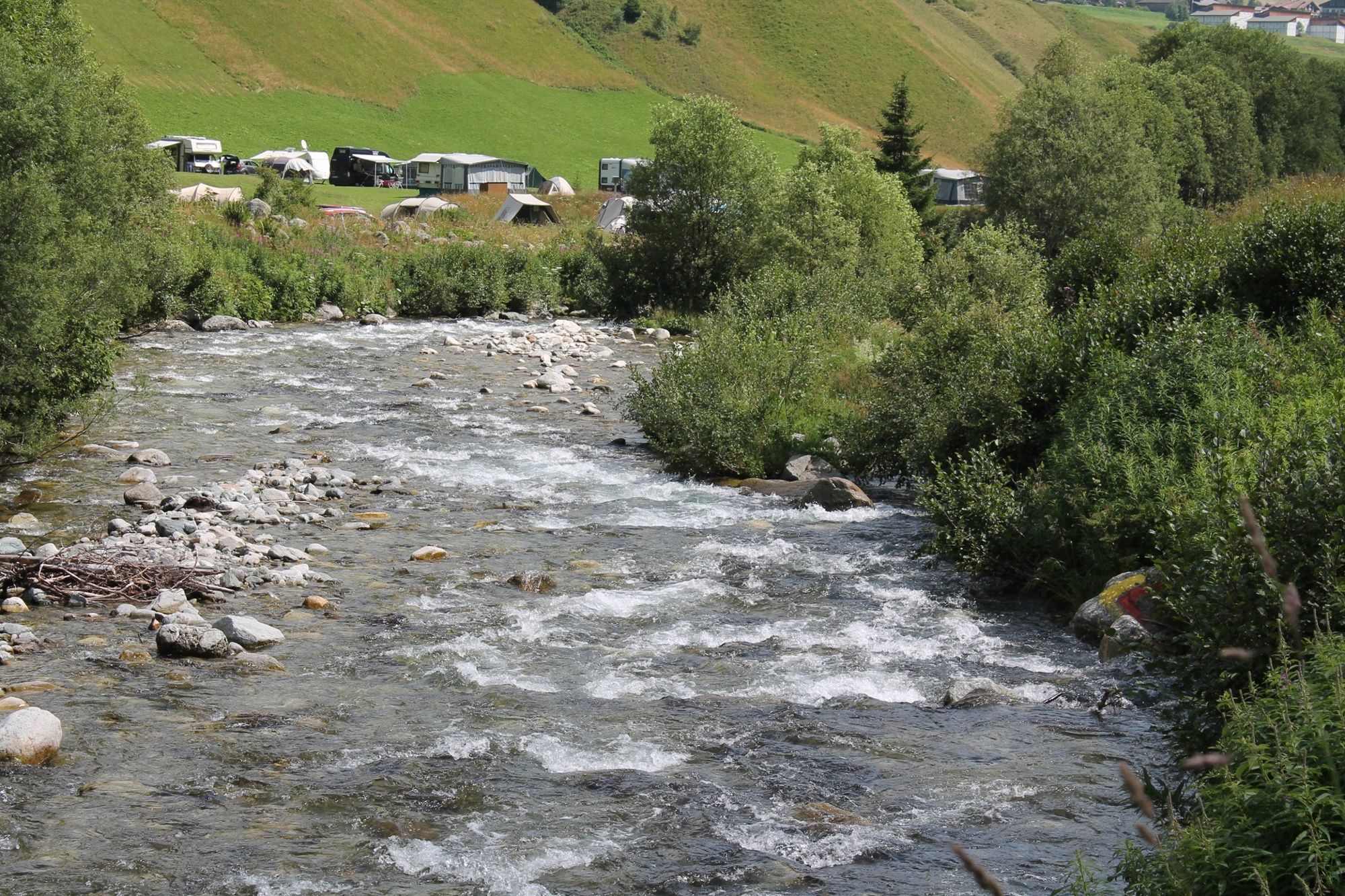
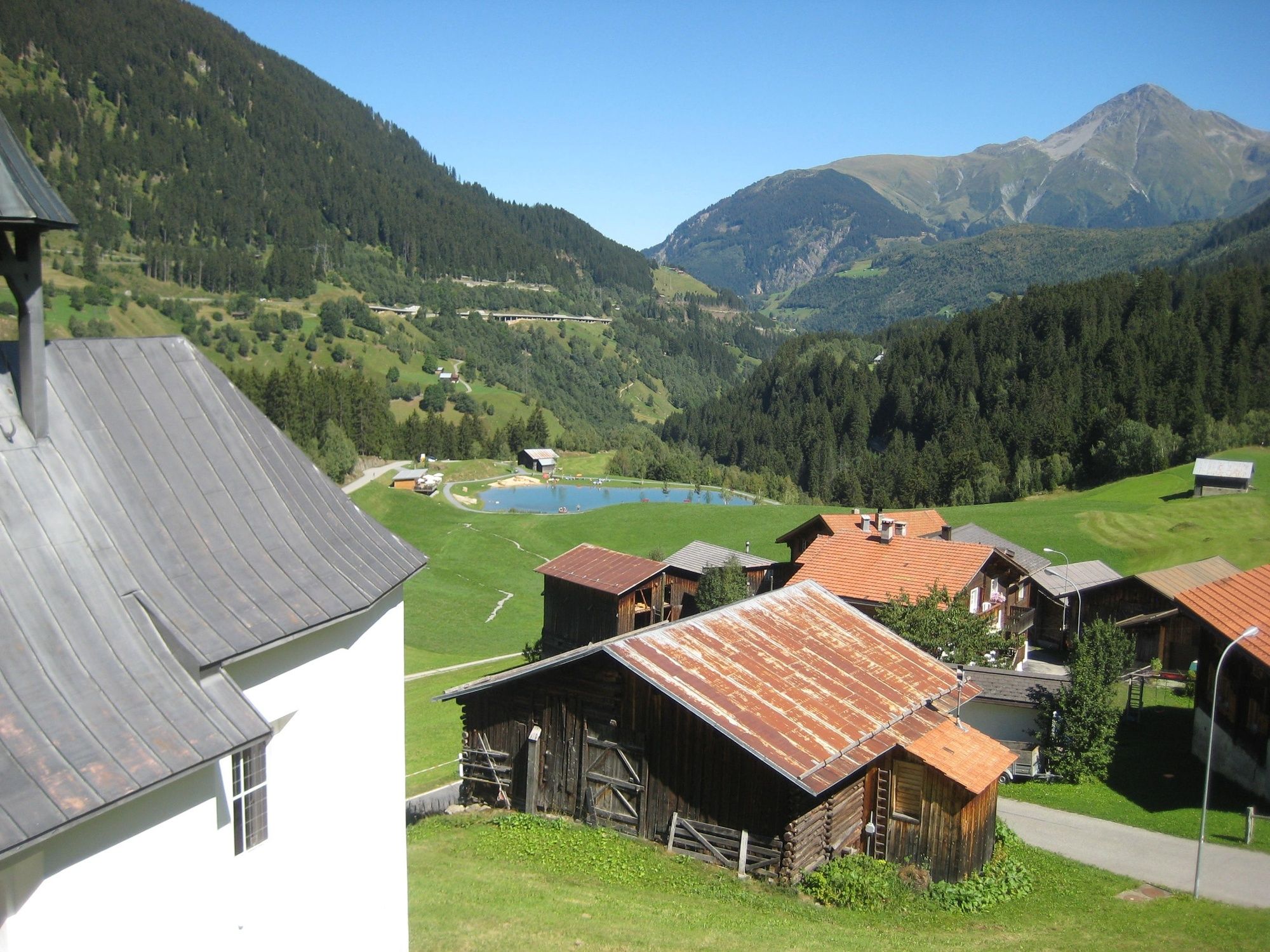
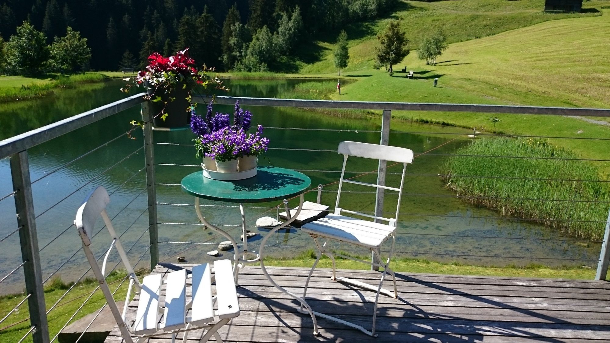
From Sedrun we walk on an asphalt road with little traffic in the direction of Cavorgia. The path leads us through a gorge, from where the village Cavorgia gets its name. (Cavorgia= gorge) As soon as we leave the forest we see on the left the pretty chapel of Sogn Leci, which dates back to the 17th century. The road, at first asphalted and later natural, leads steadily and evenly in wide hairpin bends up to the Stagias hill. About 25 years ago, the storm "Vivian" from the Uaul Cavorgia left only a few firs standing, now a completely new mixed forest is growing up here with firs, larches, birches and rowan trees. In Stagias we find a well-equipped fireplace next to a pond. We also take a look at the "Academia Vivian", a modern wooden building that can be booked for schools and or family events. It is located only 100 meters to the east in a birch forest.
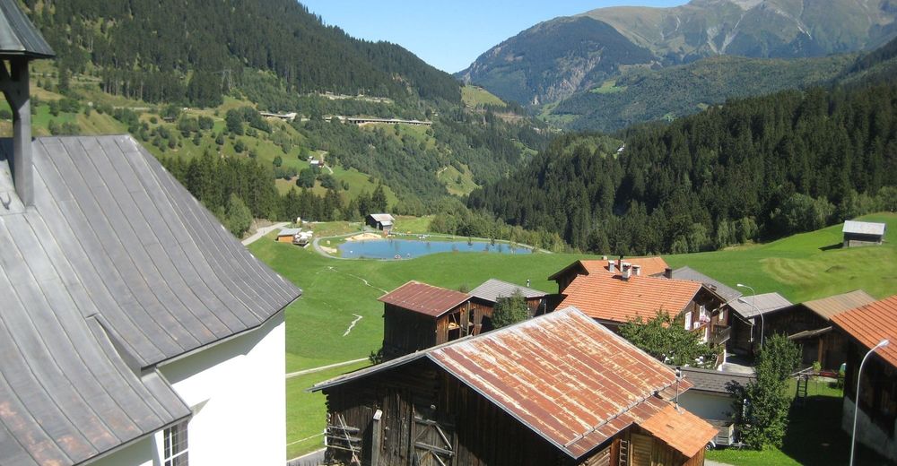
The trail continues loosely down to Mutschnengia, where we make a detour to the extraordinary suspension bridge. It was built in 2011 by forest warden apprentices from 17 cubic meters of Grisons larch wood and spans the Val Mutschnengia with a length of 96 meters. In the panorama restaurant of the Hotel Cuntera we have coffee and cake served before we cover the last part of the way to Curaglia. Here we take the post bus back to Disentis and afterwards the train to Sedrun.
- Highest point
- 1,439 m
- Endpoint
-
Sedrun Bahnhof
- Height profile
-
 © outdooractive.com
-

-
AuthorThe tour Sedrun - Curaglia is used by outdooractive.com provided.


General info
-
Uri
1548
-
Disentis Sedrun
515
-
Tujetsch
160