
- Brief description
-
From the Schellen-Ursli village of Guarda to the Chamonna Tuoi at the foot of the Piz Buin and on via the Furcletta into the Val Tasna to Ardez. Long but varied and panoramic day hike with overnight accommodation.
- Difficulty
-
medium
- Rating
-
- Starting point
-
PostBus stop Guarda, cumün
- Route
-
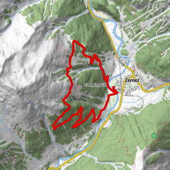
Guarda (1,653 m)Pensiun Val Tuoi0.0 kmCrusch Alba0.1 kmChamonna Tuoi (2,250 m)7.1 kmChamanna Tuoi7.4 kmAlp Valmala (1,980 m)14.0 kmTasna Dadaint14.4 kmTasna17.4 kmChanoua19.6 kmArdez (1,467 m)20.8 km
- Best season
-
JanFebMarAprMayJunJulAugSepOctNovDec
- Description
-
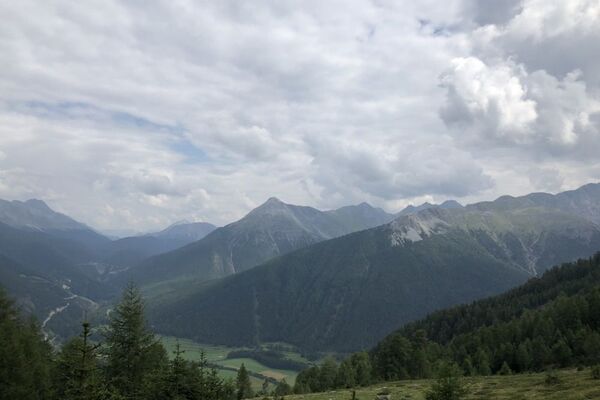
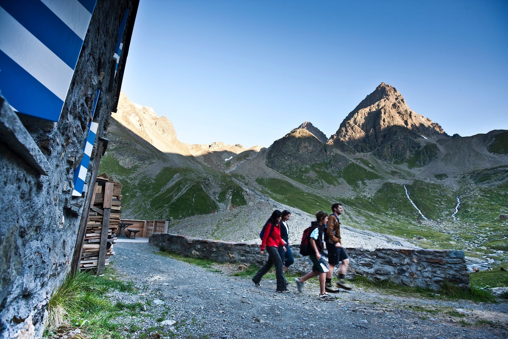
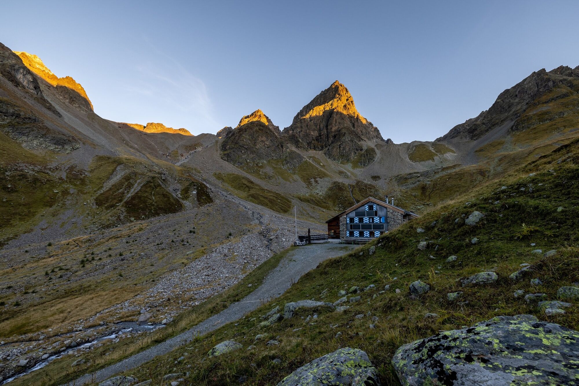
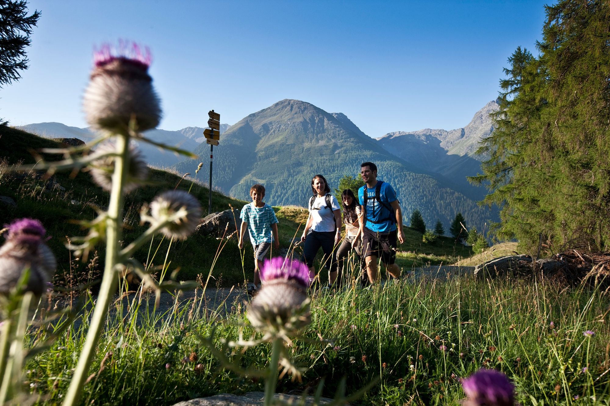
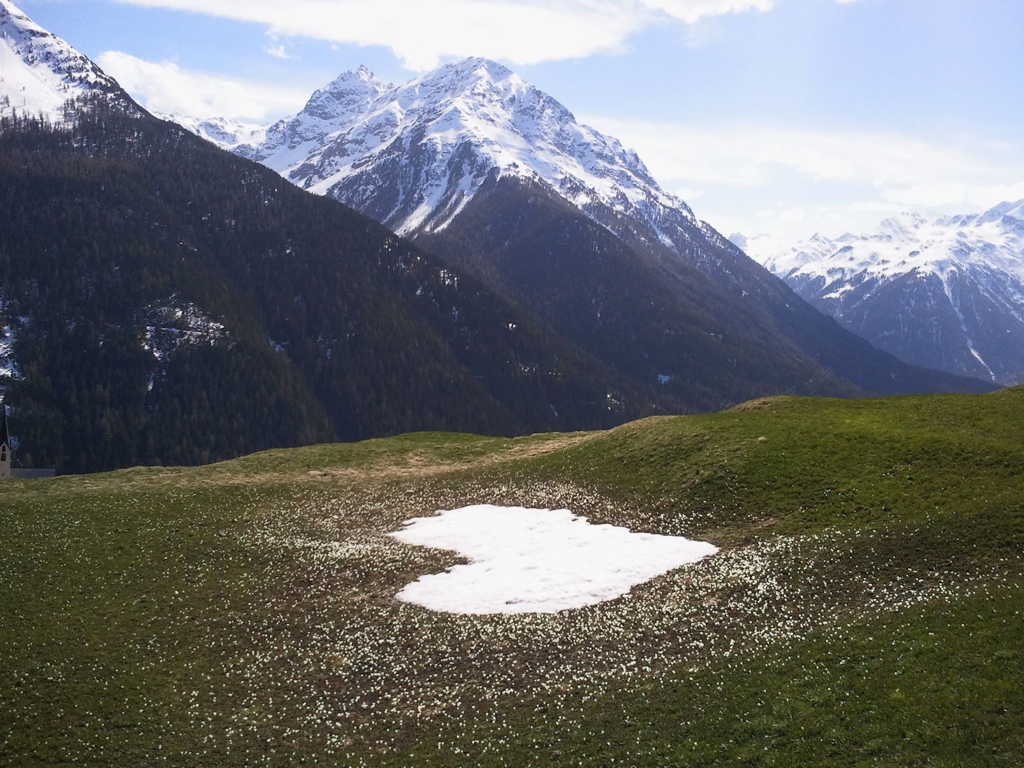
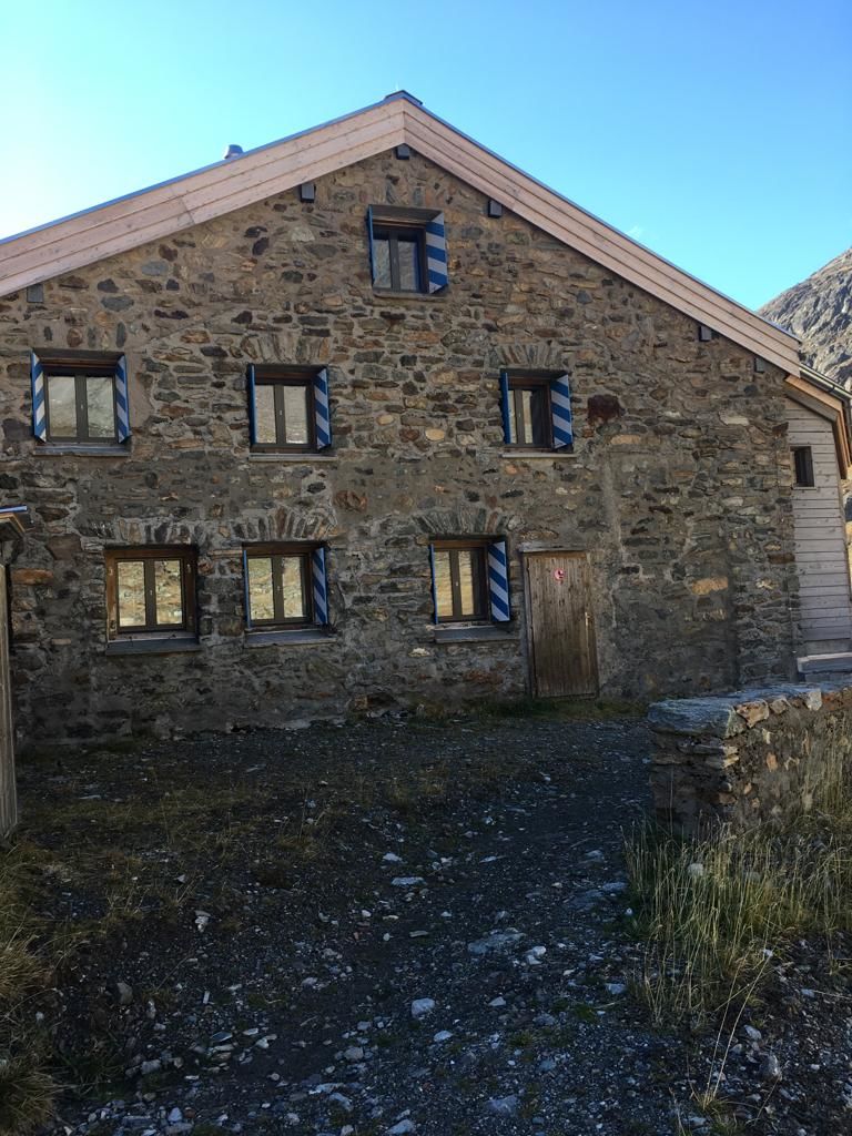
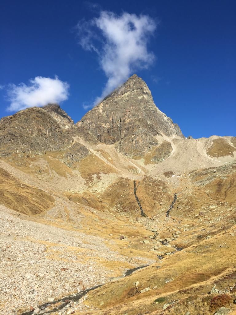
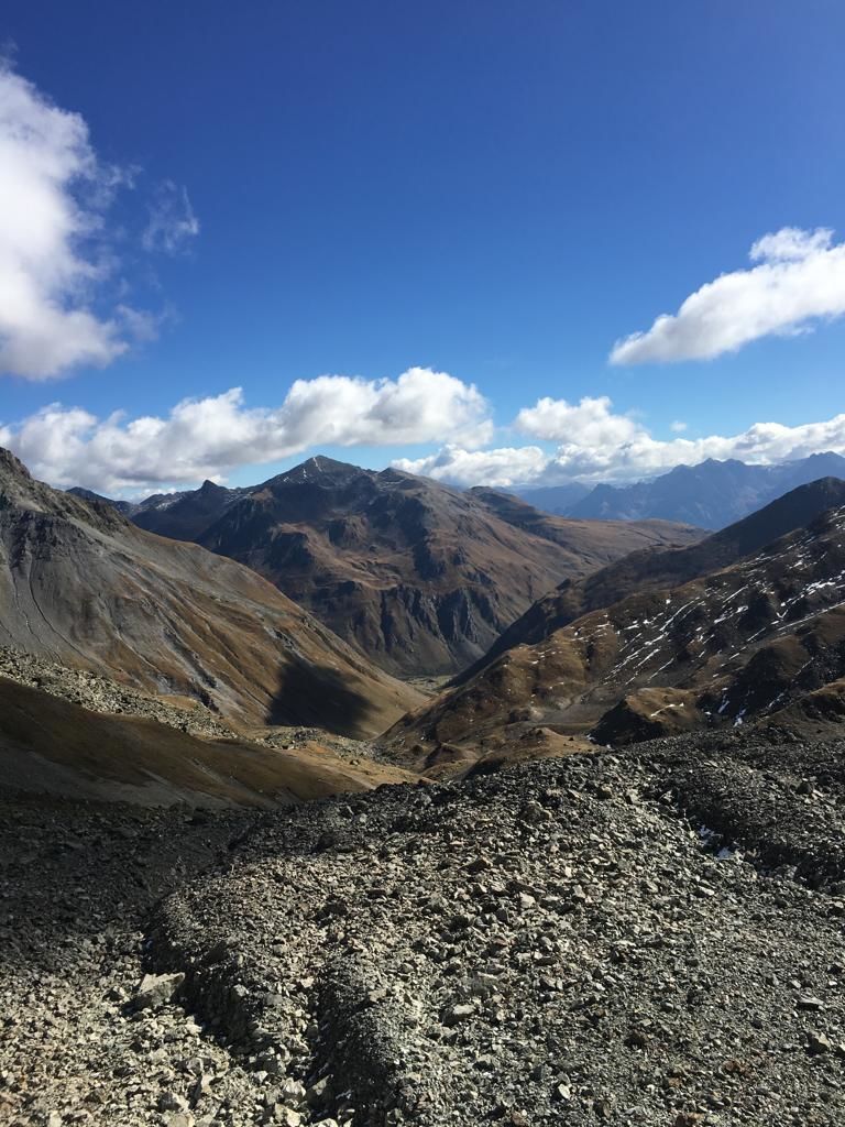
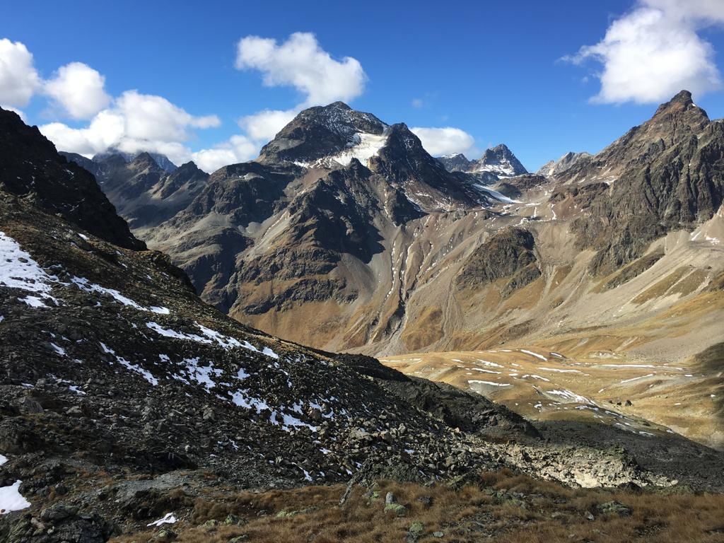
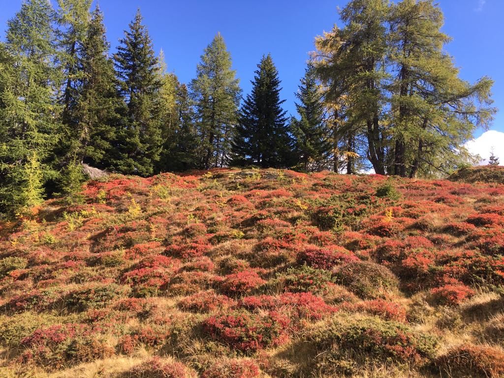
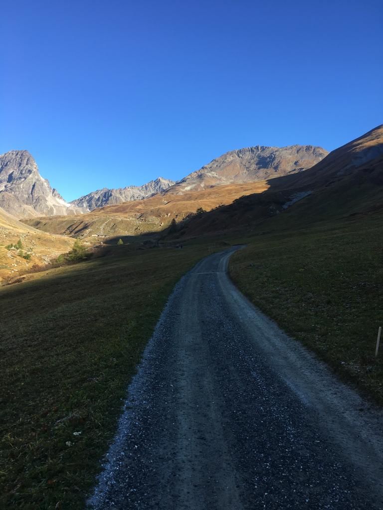
From the centre of Guarda, the trail follows the course of the Clozza stream to Alp Suot above the timberline and further into the valley to the foot of the mighty Piz Buin and Chamanna Tuoi SAC (overnight accommodation). From Chamanna Tuoi, the alpine hiking trail leads eastwards in the wide valley basin on the southern edge of the Silvretta group to the highest point of the tour, the Pass da Furcletta (2732 metres altitude). From this pass the view opens up into Val d'Urezzas on the other side of the saddle. The descent is very steep at first and up to Marangun d'Urezzas, but becomes flatter and flatter the further you advance into Val Tasna and the narrow valley at Alp Valmala.
- Directions
-
From the centre of Guarda, follow the path along the stream to Alp Suot.
Continue into the valley to the Chamanna Tuoi
Continue eastwards to the Pass da Furcletta
Descend into Val d'Urezzas via Marangun to Val Tasna and Alp Valmala
Follow the signposts in the direction of Ardez
- Highest point
- 2,726 m
- Endpoint
-
PostBus stop Ftan, cumün
- Height profile
-
 © outdooractive.com
 - Equipment
-
Good shoes, rain and sun protection, water bottle, first aid kit.
- Safety instructions
-
The tour has been assessed in favourable weather conditions, current weather conditions and weather forecasts are mandatory to be taken into account before starting the tour. This hike requires elementary alpine experience, orientation skills, mountain boots are recommended.
Emergency call:
144 Emergency call, first aid
1414 Mountain rescue REGA
112 International emergency call
- Directions
-
- From the north: via Landquart - Klosters by car transport through the Vereina Tunnel (Selfranga - Sagliains) or via the Flüela Pass into the Lower Engadine on H27.
- From the east: via Landeck / Austria in the direction of St. Moritz on H27
- From the south: via Reschenpass (Nauders-Martina) or Ofenpass (Val Müstair-Zernez) on H27
Guarda can be reached in 5 minutes by car from the Engadin road H27 at Giarsun.
- Public transportation
-
- With the Rhaetian Railway (from Chur, Landquart/Prättigau or Upper Engadine) hourly to Guarda station.
- Several times daily PostBus connection to Guarda station, cumün
- Parking
-
- Paid parking at the entrance to Guarda village (Guarda is car-free)
- Paid parking at Guarda railway station
- Author
-
The tour Guarda – Chamonna Tuoi – Furcletta – Alp Valmala – Ardez is used by outdooractive.com provided.


General info
-
Engadin Scuol Zernez
734
-
Ardez
153