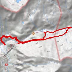
Tour data
29.87km
1,419
- 2,496m
2,311hm
2,312hm
07:28h
- Brief description
-
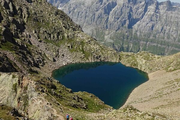
Auf den Spuren der Mythen und Hexen
- Difficulty
-
medium
- Rating
-
- Route
-
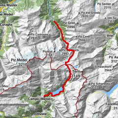
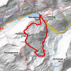
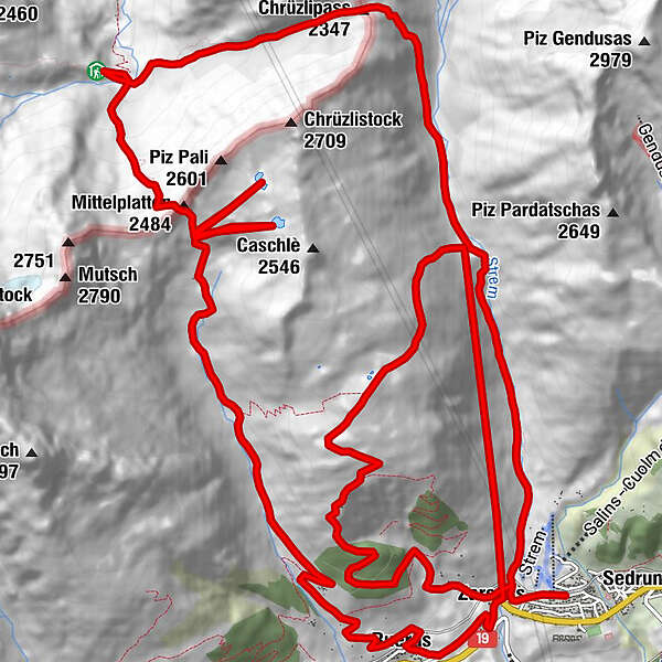
Sedrun (1,441 m)Camischolas0.1 kmCuschina Menono0.4 kmZarcuns0.4 kmChrüzlipass (2,347 m)6.1 kmEtzlihütte (2,052 m)8.5 kmMittelplatten (2,484 m)10.4 kmSchutzhütte Val Milar13.9 kmRueras19.2 kmZarcuns20.4 kmCamischolas20.6 kmZarcuns29.6 kmCamischolas29.9 km
- Best season
-
JanFebMarAprMayJunJulAugSepOctNovDec
- Highest point
- 2,496 m
- Rest/Retreat
-
verschiedene Restaurants in Sedrun
- Ticket material
-
Sedrun Disentis Tourismus


GPS Downloads


Trail conditions
Asphalt
Gravel
Meadow
Forest
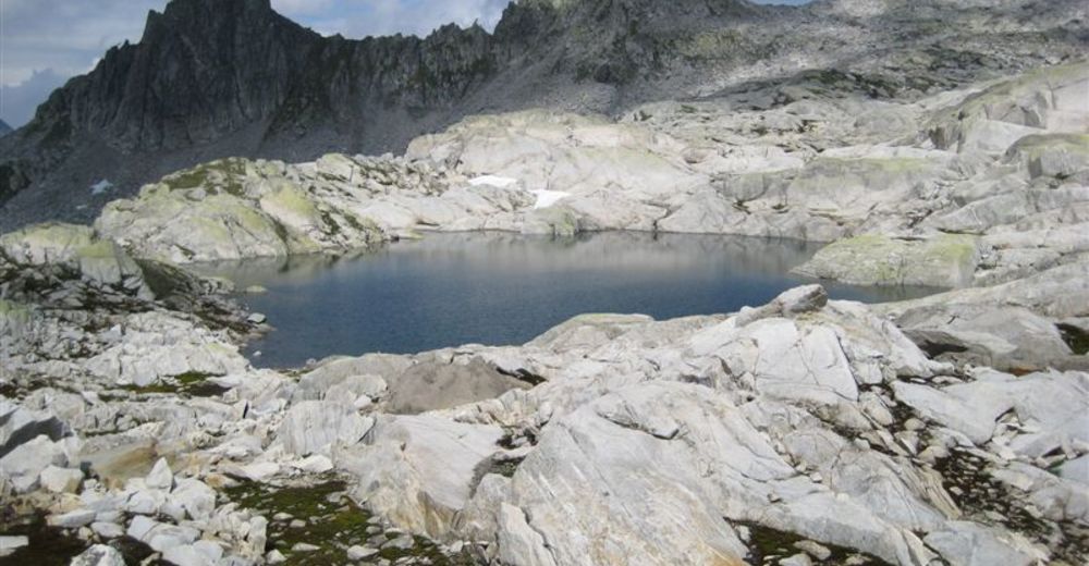
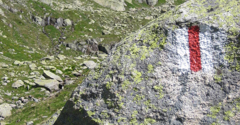
Rock
Exposed
Other tours in the regions
-
Uri
1548
-
Disentis Sedrun
515
-
Tujetsch
160