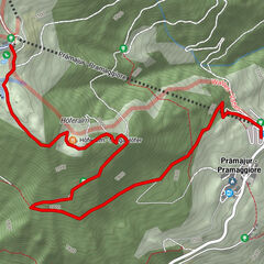
- Brief description
-
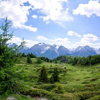
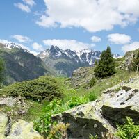
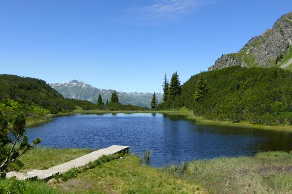
A long, scenic summit tour on the southern edge of the Silvretta with a break on Alp Laret.
- Difficulty
-
medium
- Rating
-
- Starting point
-
Prui mountain station
- Route
-
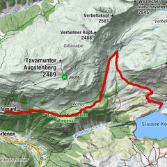
Prümaran PruiAlp Clünas (2,444 m)3.4 kmPiz Clünas (2,793 m)5.2 kmMuot da l'Hom (2,509 m)7.6 kmLaret (2,188 m)9.5 kmPlazzöl13.3 kmFetan (1,648 m)13.4 km
- Best season
-
JanFebMarAprMayJunJulAugSepOctNovDec
- Description
-
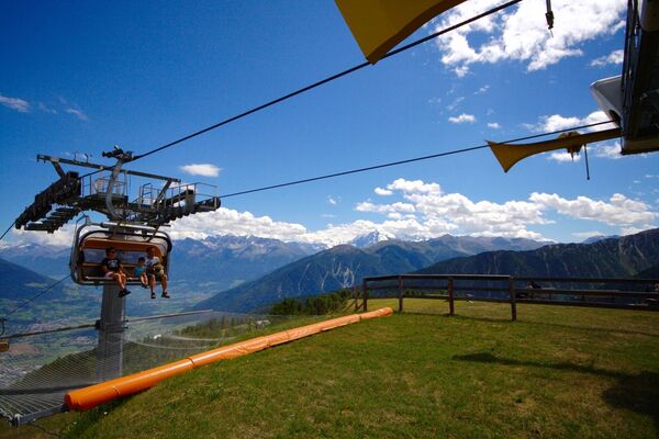
From Ftan, cumün, take the chairlift to Prui. From Prui you will remain above the timberline, and the path leads via Schlivera on the southern flank of Piz Clünas to Alp Clünas.
Here the summit ascent begins over the south ridge to Piz Clünas. The view back shows the majestic peaks of the Sesvenna (Ajüz, Lischana, San Jon) and Pisoc groups, toward the east the facilities of the winter sports area can be seen, and behind the saddle between Piz Nair and Champatsch the striking Piz Tschütta appears. After crossing the summit, you descend to Lai da Minschun cirque lake and then follow the signs toward Alp Laret to the west via Muot da l'Hom. Here we recommend taking a break at the restaurant on Alp Laret.
Below Alp Laret, before reaching Clüs, turn left, leave the forest road and descend through the forest toward Ftan Grond. The descent from Alp Laret can alternatively be made via Prui followed by a chairlift ride to Ftan.
Alternatives: The ascent from Ftan to Prui can also be done on foot (about 300 meters of altitude difference) Alternatively, you can start the hike in Scuol, take the cable car to Motta Naluns and after a one and a half hour ascent you will reach Alp Clünas. There is also the possibility of doing the tour the other way round and to descend from Alp Clünas to the top station of the cable car Motta Naluns. From here you can take the gondola lift or the scooters, which are available for hire on site, back to Scuol.
- Directions
-
From the Prui mountain station, the trail leads via Schlivera to Alp Clünas.
Here begins the ascent to the summit via the south ridge to Piz Clünas
After the summit traverse, descend to the cirque lake Lai da Minschun
Continue westwards over the Muot da l'Hom
Follow the signs to Alp Laret Below Alp Laret turn left before Clüs
Descent to Ftan Grond
Alternatively, start the hike in Scuol, take the cable car to Motta Naluns. After an approximately one-and-a-half-hour ascent, you will also reach Alp Clünas. There is also the option of doing the tour in reverse and descending after Alp Clünas to the top station of the "Motta Naluns" gondola lift. From here you can take the gondola lift or the scooters available for hire on site to Scuol.
- Highest point
- 2,753 m
- Endpoint
-
PostBus stop Ftan, cumün
- Height profile
-
© outdooractive.com
- Equipment
-
Good shoes, rain and sun protection, water bottle, first aid kit.
- Safety instructions
-
The tour has been assessed in favourable weather conditions, current weather conditions and weather forecasts are mandatory to be taken into account before starting the tour. This hike requires elementary alpine experience, orientation skills, mountain boots are recommended.
Emergency call:
144 Emergency call, first aid 1414 Mountain rescue REGA 112 International emergency call - Directions
-
- From the north: via Landquart - Klosters by car transport through the Vereina Tunnel (Selfranga - Sagliains) or via the Flüela Pass into the Lower Engadine on H27.
- From the east: via Landeck / Austria in the direction of St. Moritz on H27
- From the south: via Reschenpass (Nauders-Martina) or Ofenpass (Val Müstair-Zernez) on H27
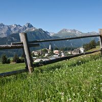
Ftan is situated on a sunny terrace and can be reached in 10 minutes by car from Ardez or Scuol on the Engadine road H27.
- Public transportation
-
- By Rhaetian Railway (from Chur, Prättigau or Oberengadin) hourly to Scuol-Tarasp, direct PostBus connection to Ftan, cumün
- By PostBus (from Tarasp or Martina) hourly to Scuol-Tarasp, direct PostBus connection to Ftan, cumün
- By chairlift from the Ftan valley station to Prui
- Parking
-
- Paid parking in Ftan Grond and Ftan Pitschen.
- Author
-
The tour Prui – Piz Clünas – Alp Laret – Ftan is used by outdooractive.com provided.
General info
-
Engadin Scuol Zernez
734
-
Ftan
155


