

- Brief description
-
Varied round hike from the city up to the panoramic Mittenberg and on nice trails to the sunny village of Maladers and back into Chur's Oldtown.
- Difficulty
-
medium
- Rating
-
- Starting point
-
Chur, Fürstenwald
- Route
-
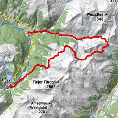
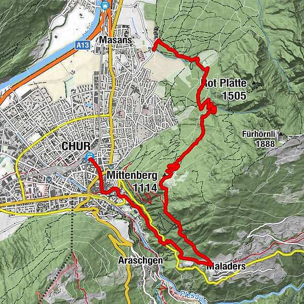
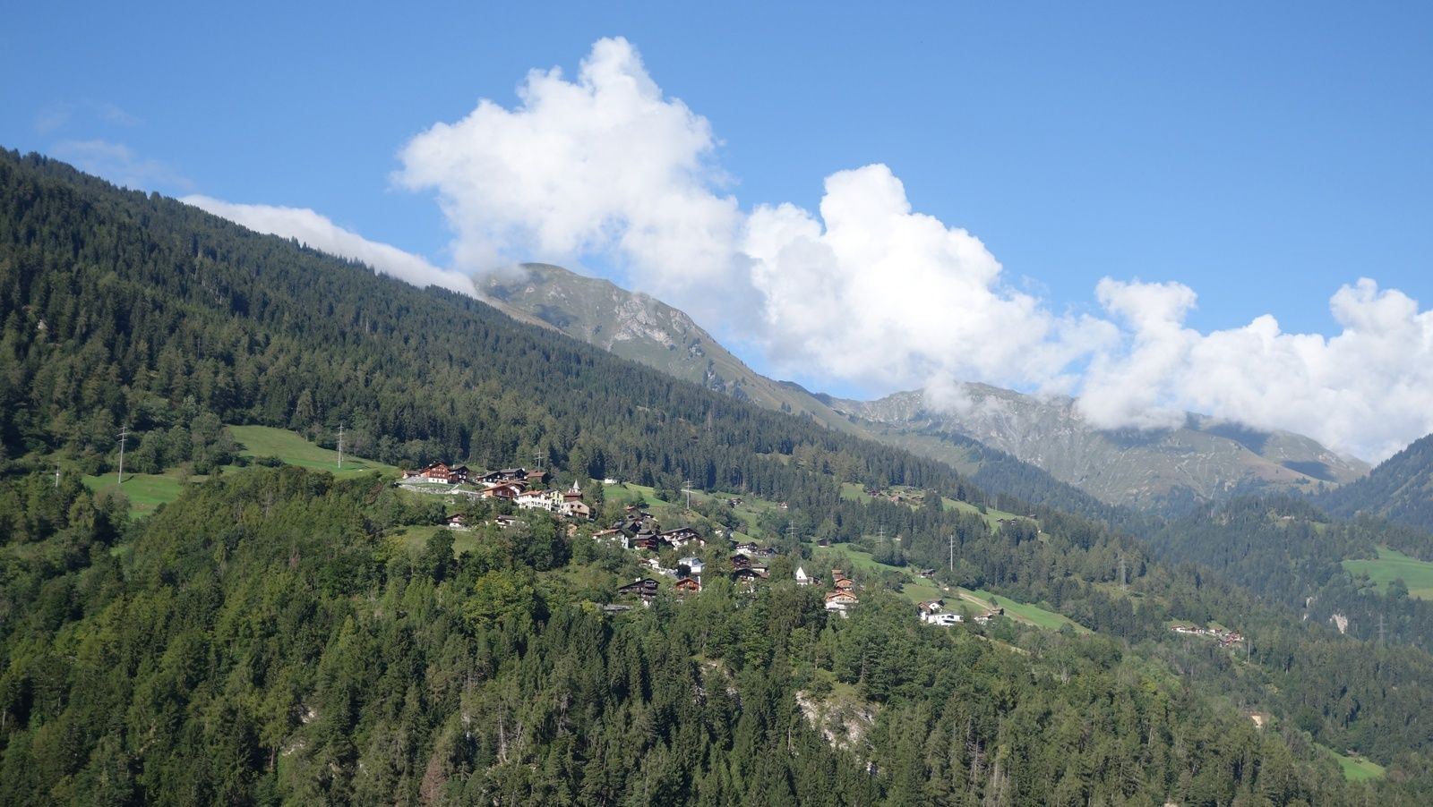
Mittenberg (1,114 m)5.0 kmMaladers7.1 kmTumma7.7 kmBrandacker8.2 kmAraschgen8.4 kmOrthodox Parish "St. Pious Parascheva"9.3 kmSt. Luzius9.4 kmMartinskirche9.9 kmChur (585 m)10.5 kmChur (593 m)10.6 km
- Best season
-
JanFebMarAprMayJunJulAugSepOctNovDec
- Description
-
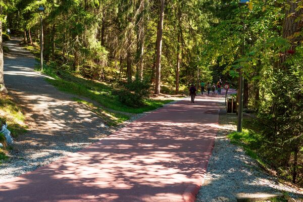
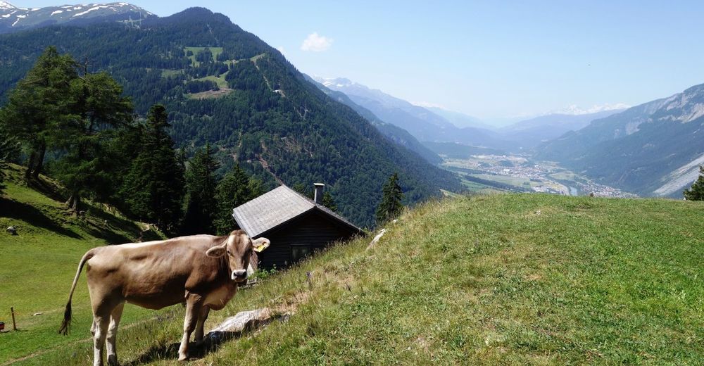
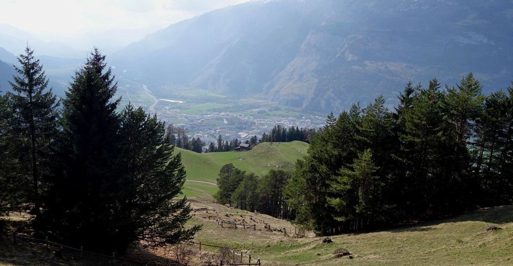
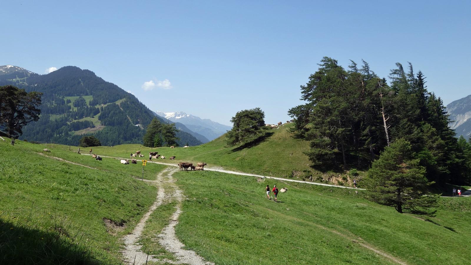
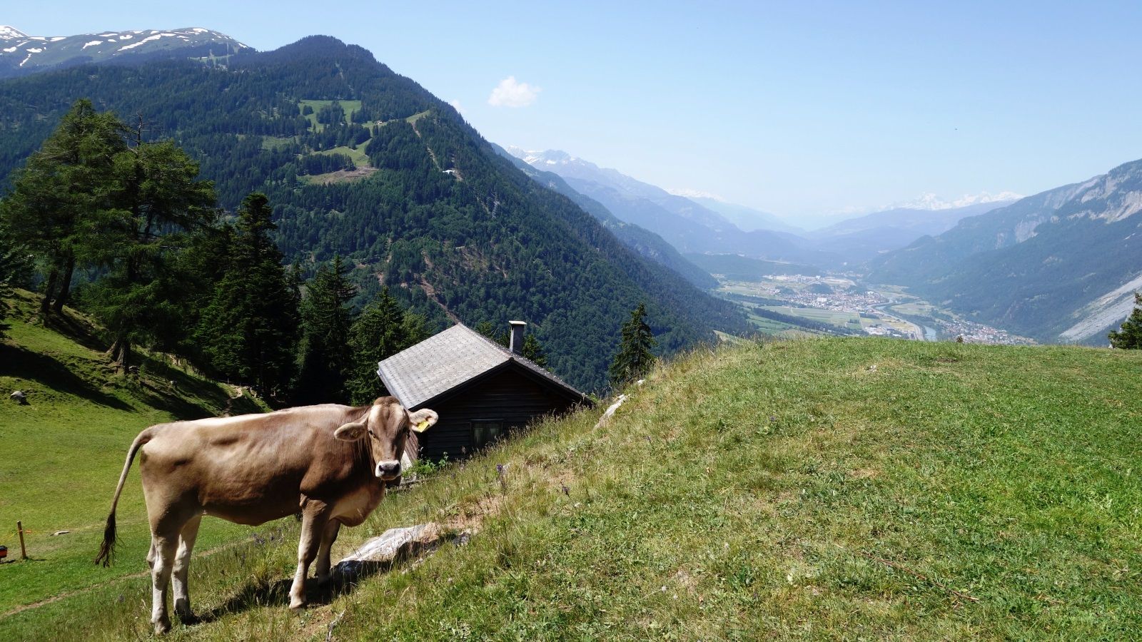
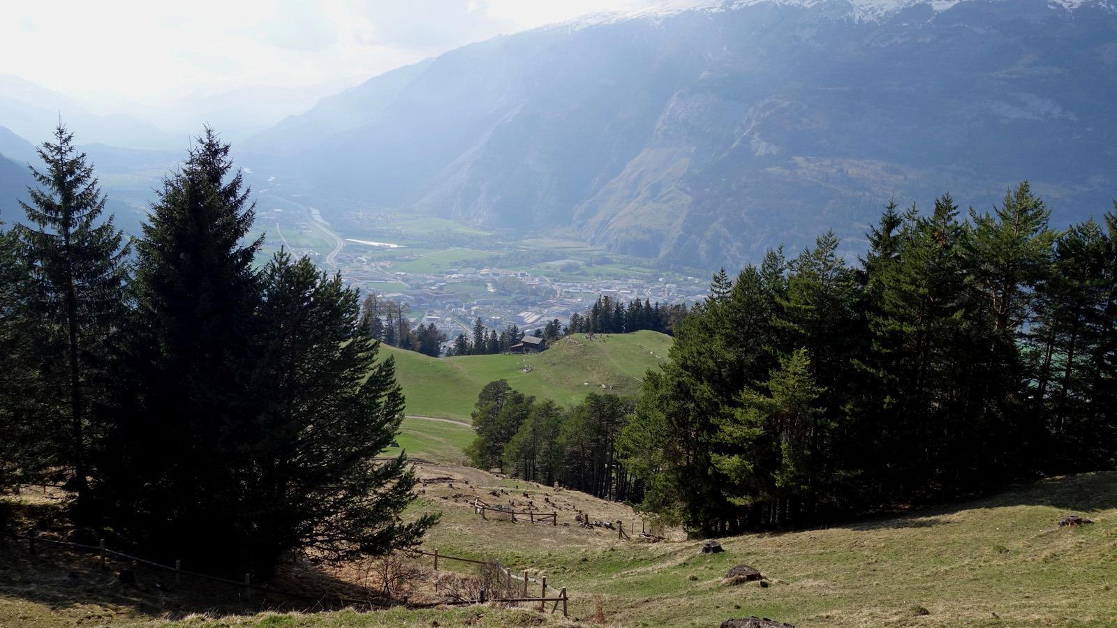
The Chur city bus no. 2 takes you the Fürstenwald above of the city. This is the starting point of this hiking tour. From there, follow the wide forest road steadily up to Mittenberg. On the way and on the Mittenberg you will find fountains with fresh spring water. Up at Mittenberg, you have a wonderful panorama view into the Chur Rhine valley and the surrounding mountains and is an ideal place for a picknick, as well.
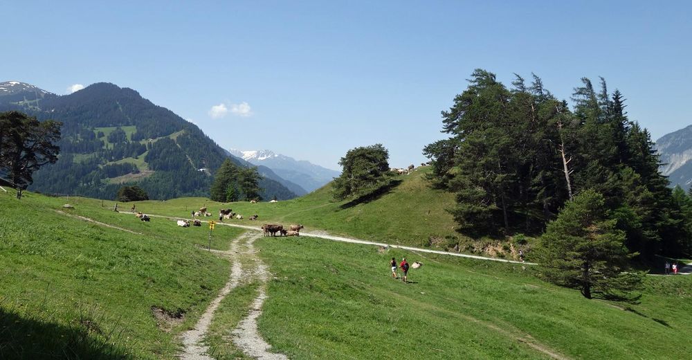
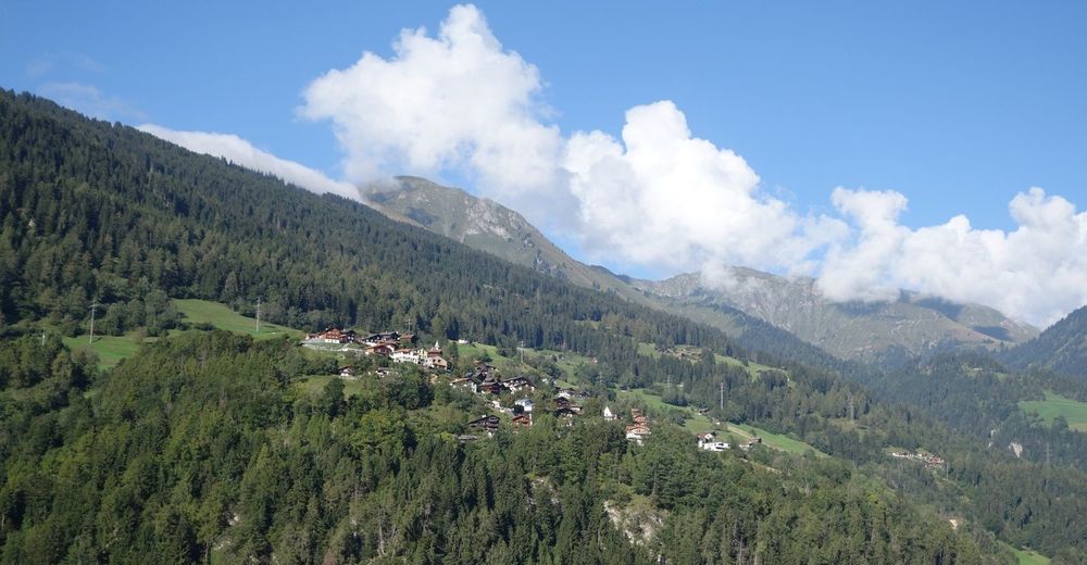
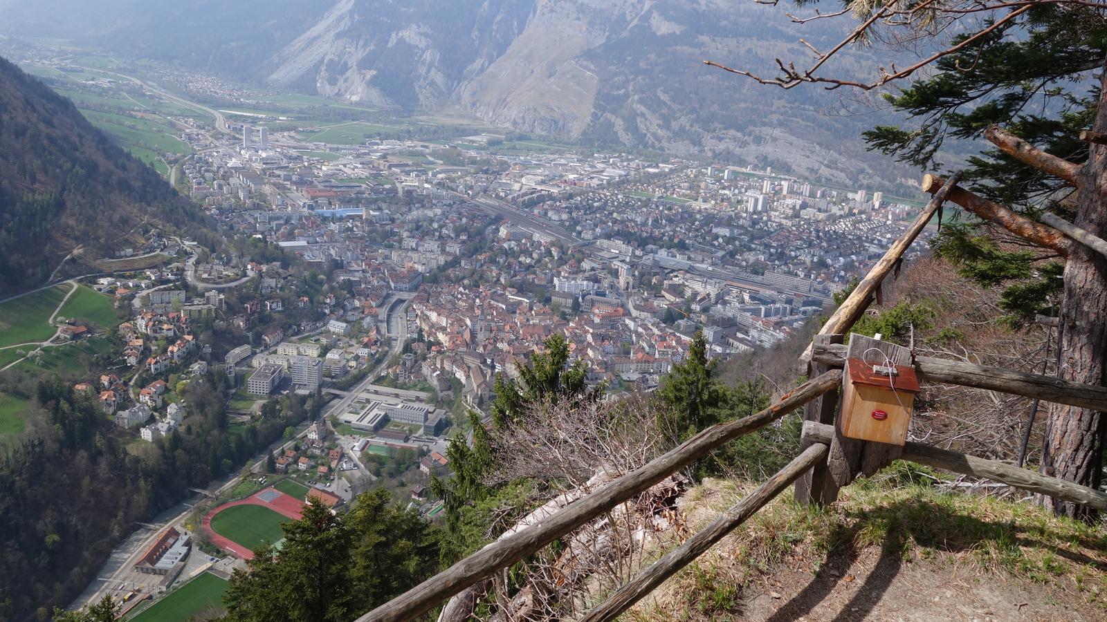
Descent along the pastures to Maladers, Brandacker and below the Arosa street into the direction of the city again, past the Episcopal courtyard with the famous cathedral. There you will enter the wonderful and historic Old town of Chur again.
- Highest point
- 1,100 m
- Endpoint
-
Chur, Oldtown
- Height profile
-
 © outdooractive.com
 - Additional information
-

-
AuthorThe tour Mittenberg - Maladers is used by outdooractive.com provided.