
© Intersoc VZW - Koen Trompet
© Intersoc VZW - Anne Eeckhout

© Intersoc VZW - Anne Eeckhout
© Intersoc VZW - Anne Eeckhout
© Intersoc VZW - Werner Van Giel
© Intersoc VZW - Werner Van Giel

- Brief description
-
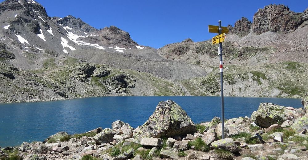
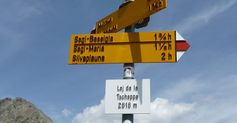
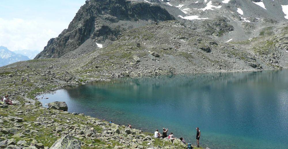
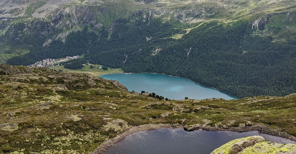
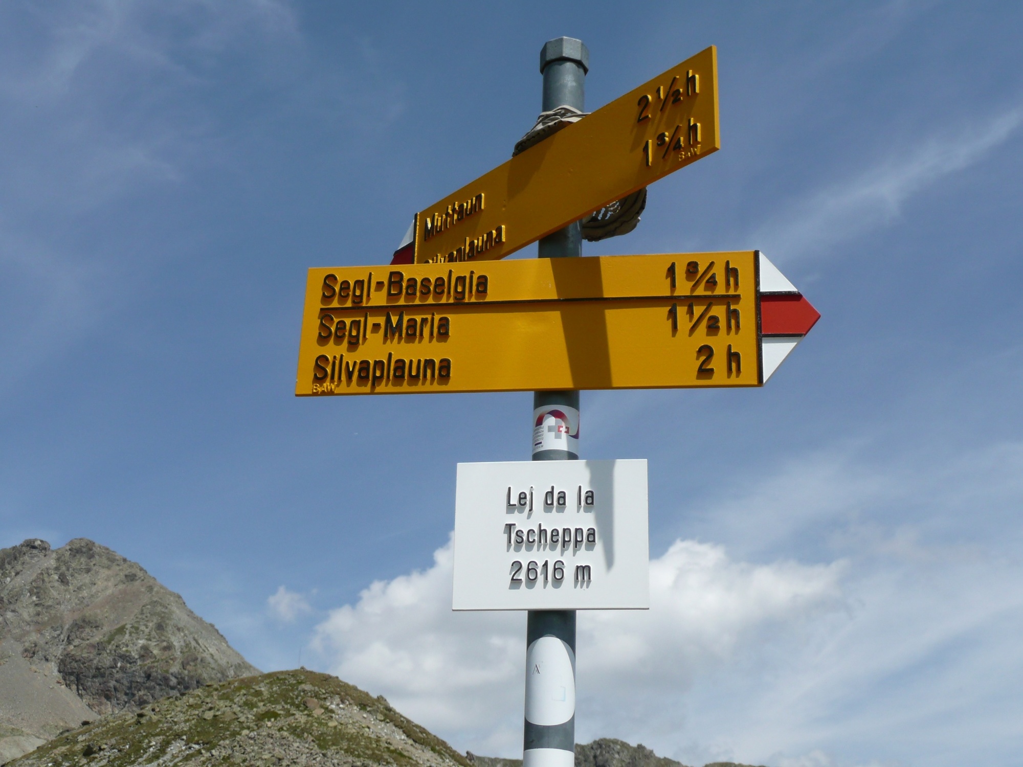
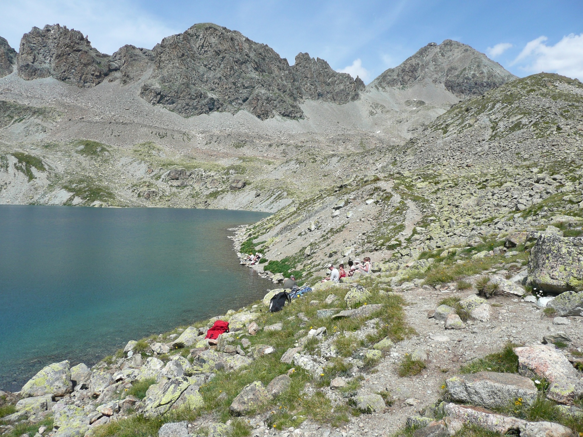
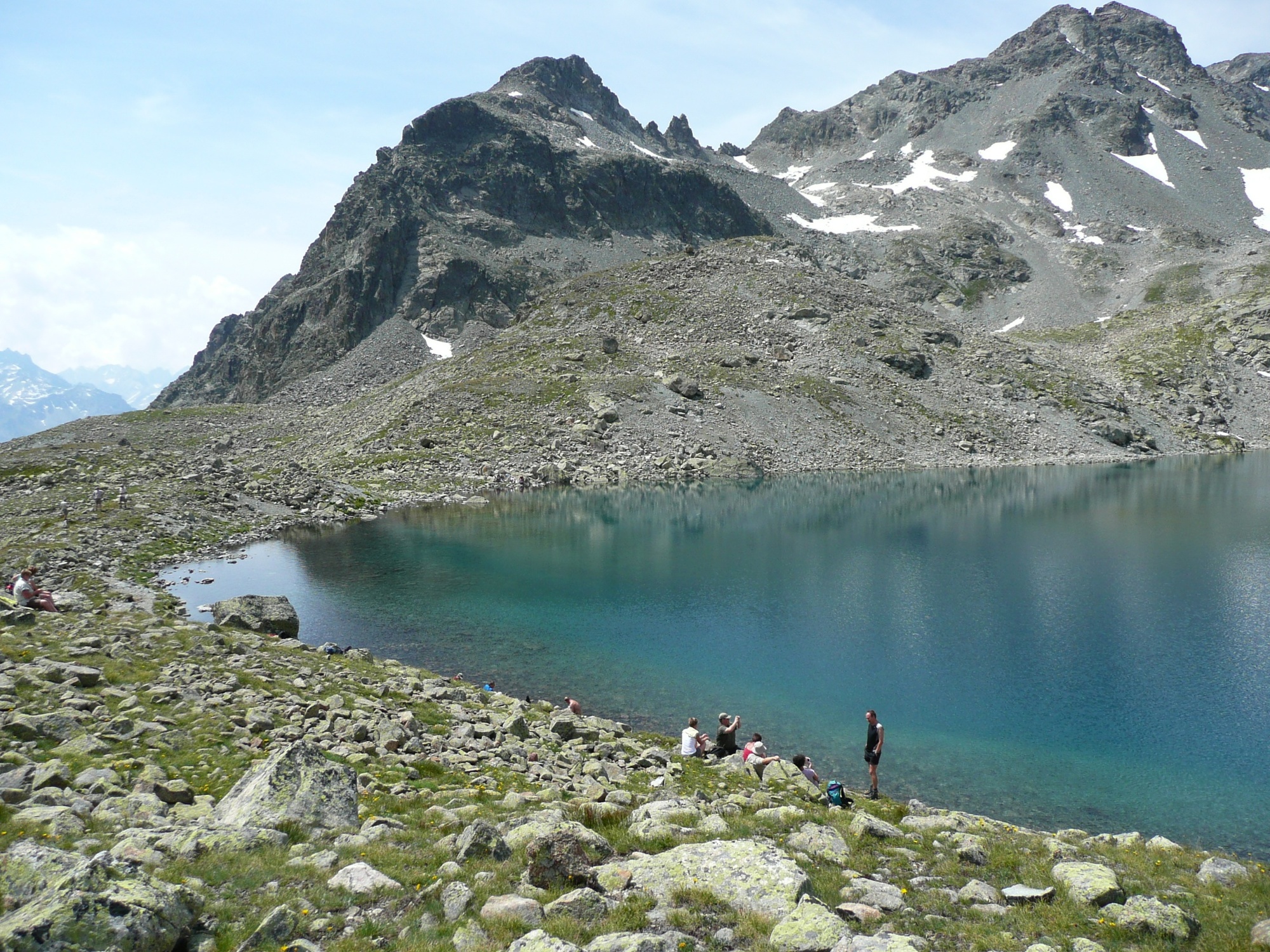
Lej da la Tscheppa
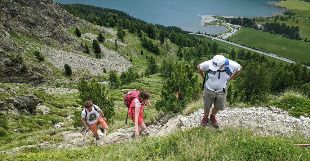
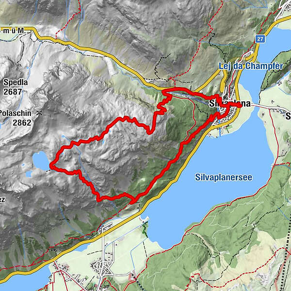
- Route
-
Santa Maria0.2 kmSilvaplana (1,815 m)0.2 kmSanta Anna12.3 kmSanta Maria12.4 kmSilvaplana (1,815 m)12.5 km
- Highest point
- 2,624 m
- Endpoint
-
Silvaplana
- Height profile
-
 © outdooractive.com

-

-
AuthorThe tour STM-DW - Lej da la Tscheppa is used by outdooractive.com provided.
GPS Downloads


Other tours in the regions
-
Veltlin / Valtellina
852
-
Engadin St. Moritz
782
-
Silvaplana
338


