© Sils Tourismus - Gian Giovanoli, Sils Maria

© Sils Tourismus - Gian Giovanoli, Sils Maria

© Sils Tourismus - Gian Giovanoli, Sils Maria

© Sils Tourismus - Gian Giovanoli, Sils Maria
© Engadin Tourismus AG - Sils Tourismus

- Brief description
-
Mountain tour to the sunny viewing peak about 1110 meters above Maloja
- Difficulty
-
medium
- Rating
-
- Starting point
-
Sils Baselgia
- Route
-
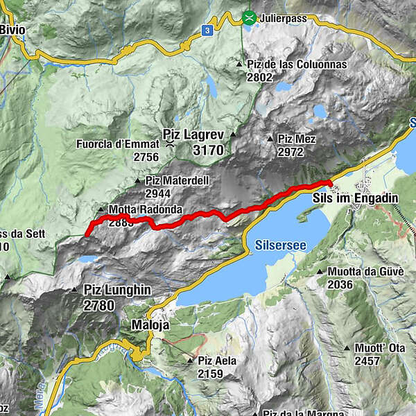
ClosSan Lurench0.0 kmPignoulas0.2 kmPlaun Grand5.0 kmPiz Grevasalvas (2,932 m)7.7 kmPlaun Grand10.4 kmPignoulas15.2 kmClos15.4 kmSan Lurench15.4 km
- Best season
-
JanFebMarAprMayJunJulAugSepOctNovDec
- Description
-
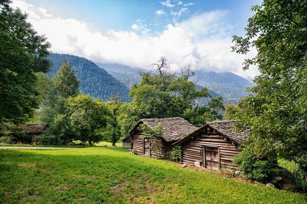
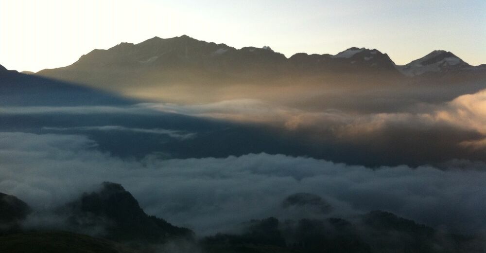
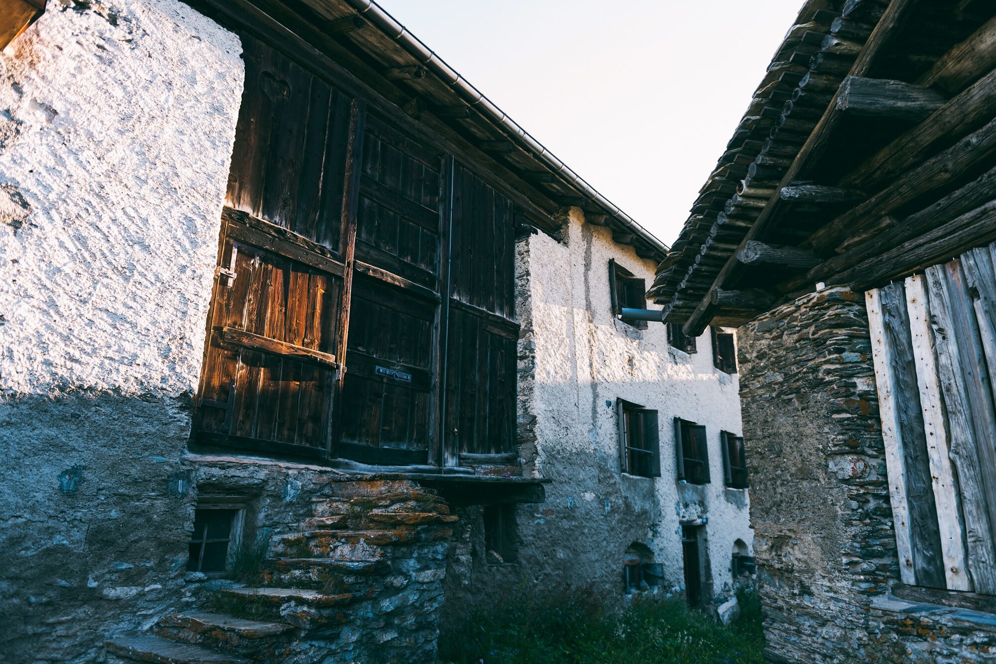
As soon as you comfortably walk on the Via Engiadina from Sils Baselgia to Grevasalvas, you will be spoilt with a spectacular view of Lake Sils. Above the small heather village of Grevasalvas, which was the location of the Heidi film in the 1970s, you climb over alpine meadows to the large plain of Plaun Grand and from there the path climbs steeply up to the dreamy Lej Nair, which in high summer invites you for a refreshing swim and a welcome cooling off before the summit ascent. Over the impressive glacier-cut rocky ridge, which resembles a huge grey elephant's back, one gets closer to the Piz step by step. The small plains and hollows are suitable for ascents and breathers and with a little luck one even discovers ibex or chamois. Before the spectacular 360° panorama on the summit inspires and fascinates, the ascent over the wide ridge still needs a bit of fitness. The approximately 1110 m steep descent over the same path requires less fitness but good bones. The summit experiences and the spectacular valley view from a bird's eye view of the unique Upper Engadin lake landscape and the surrounding mountains accompany you on the way.
More information
Engadin Tourismus AG
Via Maistra 1
CH-7500 St. Moritz
Phone: +41 81 830 00 01
E-mail: allegra@engadin.ch
internet: www.engadin.ch - Directions
-
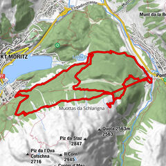
Sils – Lej Nair - Piz Grevasalvas – Sils
- Highest point
- 2,910 m
- Endpoint
-
Sils Baselgia
- Height profile
-
 © outdooractive.com
 - Tips
-
In Plaun da Lej there is the possibility to return to Sils by bus or by boat.
- Additional information
- Directions
-
Sils in the Engadin
- Public transportation
-
Bus stop Sils/Segl Baselgia San Lurench


- Author
-
The tour Sils - Lej Nair - Piz Grevasalvas - Sils is used by outdooractive.com provided.
GPS Downloads


General info
Insider tip
A lot of view
Other tours in the regions
-
Veltlin / Valtellina
850
-
Val Bregaglia Engadin
461
-
Maloja
245