
- Brief description
-
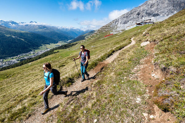
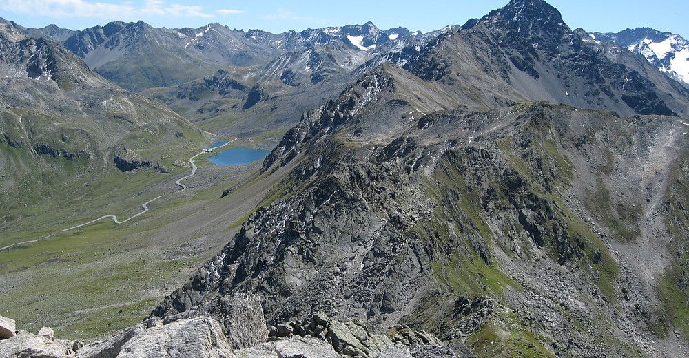
Easy ascent, fantastic views: every step on the mountain path is rewarded with a view of a gigantic sea of peaks. In good weather you can see from Grossglockner to Mont Blanc.
- Difficulty
-
medium
- Rating
-
- Starting point
-
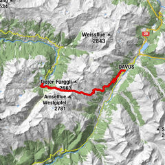
BusStop Susch, Abzw. Schwarzhorn
- Route
-
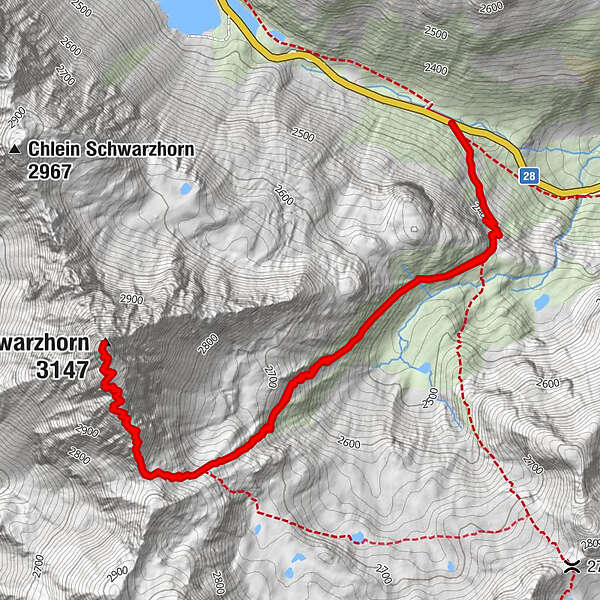
Schwarzhorn (3,147 m)3.9 km
- Best season
-
JanFebMarAprMayJunJulAugSepOctNovDec
- Description
-
At the bus stop (junction Flüela Schwarzhorn) you walk toward Schwarzhornfurgga past Schwarzchopf. At 2500 metres above sea level on the summer path, you arrive at the source of a spring with top quality Davos drinking water. It couldn't be fresher! Continue on to Schwarzhornfurgga at 2883 metres above sea level. From here you have wonderful views of the Dischma valley. This valley is the longest of the Davos side valleys (approx. 12 km) and an enchanting destination for excursions. The sunrise and sunset turn this hike into a unique experience! The same path is followed for the descent.
- Highest point
- 3,127 m
- Endpoint
-
BusStop Susch, Abzw. Schwarzhorn
- Height profile
-
 © outdooractive.com
 - Safety instructions
-
The tour was assessed in favourable weather conditions, it is imperative that the current weather conditions and weather forecasts are observed before starting the tour.
Emergency call:
144 Emergency call, first aid
1414 Mountain rescue REGA
112 International emergency call
- Additional information
- Directions
-
- From the north: via Landquart - Klosters over the Flüela Pass.
- From the east: via Landeck / Austria in the direction of St. Moritz on H27, in Susch change to H28 in the direction of Flüela Pass, Klosters
- From the south: via Reschenpass (Nauders-Martina) or Ofenpass (Val Müstair-Zernez) on H27 towards Scuol, in Susch change to H28 towards Flüela-Pass, Klosters
- Public transportation
-
- With the Rhaetian Railway (from Chur, Landquart/Prättigau, from the Upper Engadine or Scuol) hourly to Davos village.
- With the Rhaetian Railway (from the Upper Engadine, Scuol) hourly to Susch
- By PostBus from Davos Dorf / Susch hourly to Susch, Schwarzhorn branch (only served when Flüela Pass open)
- Author
-
The tour Flüela - Schwarzhorn (Return Route) is used by outdooractive.com provided.


-
Davos Klosters
928
-
Susch
109