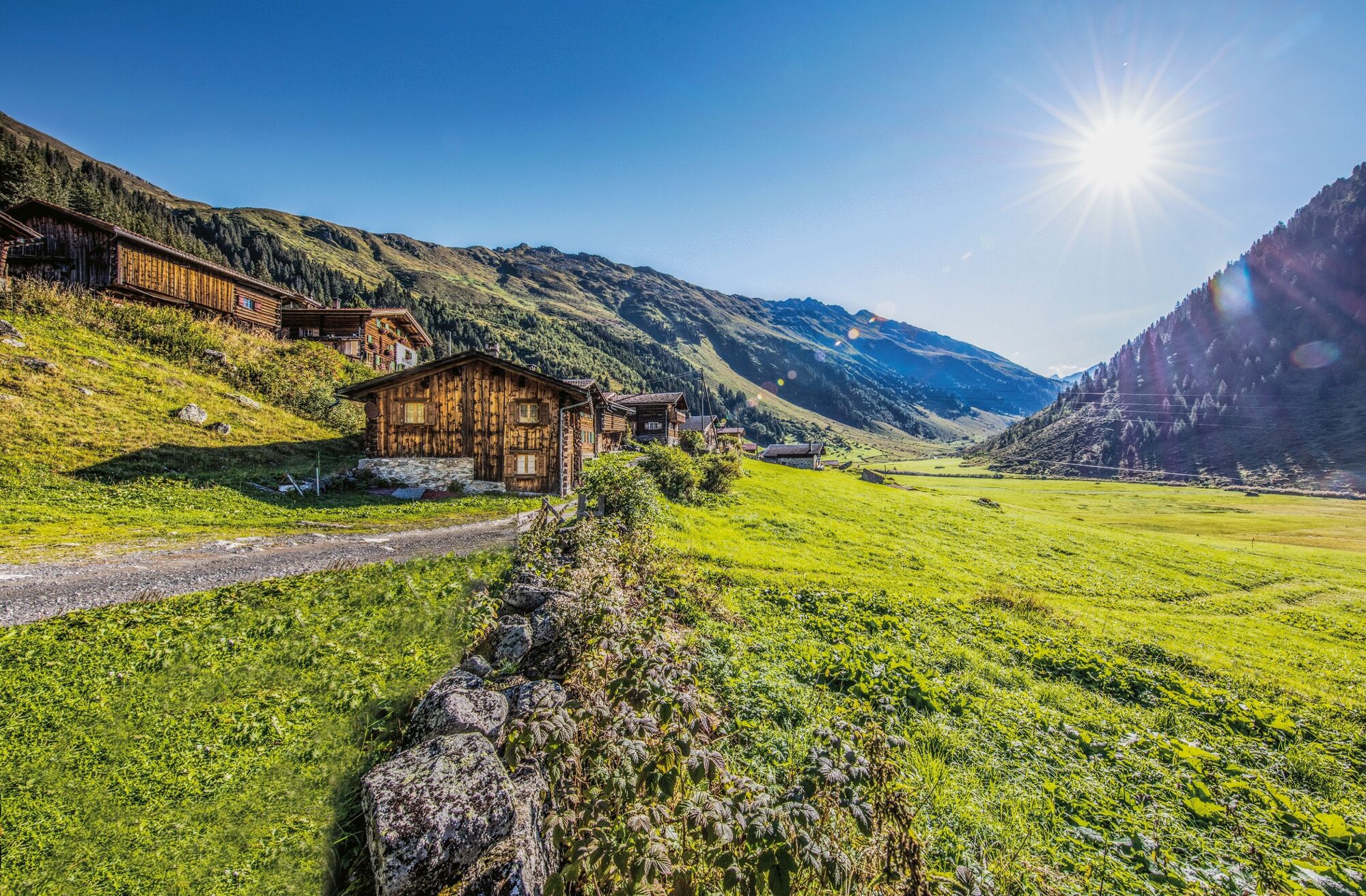
© Destination Davos Klosters - Carmen Wenger

© Destination Davos Klosters - Carmen Wenger

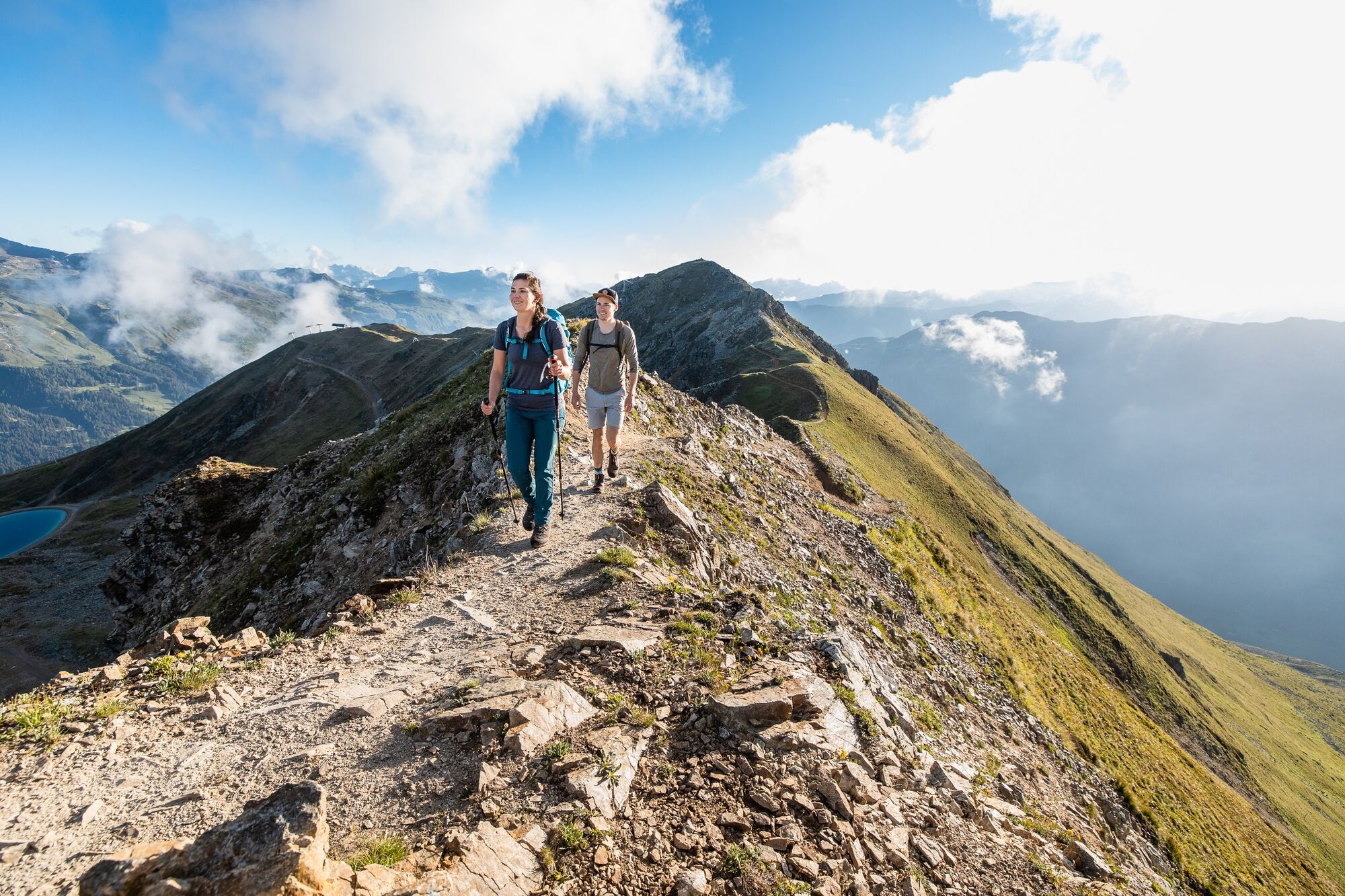
© Destination Davos Klosters - Andrea Badrutt

© Destination Davos Klosters - Andrea Badrutt

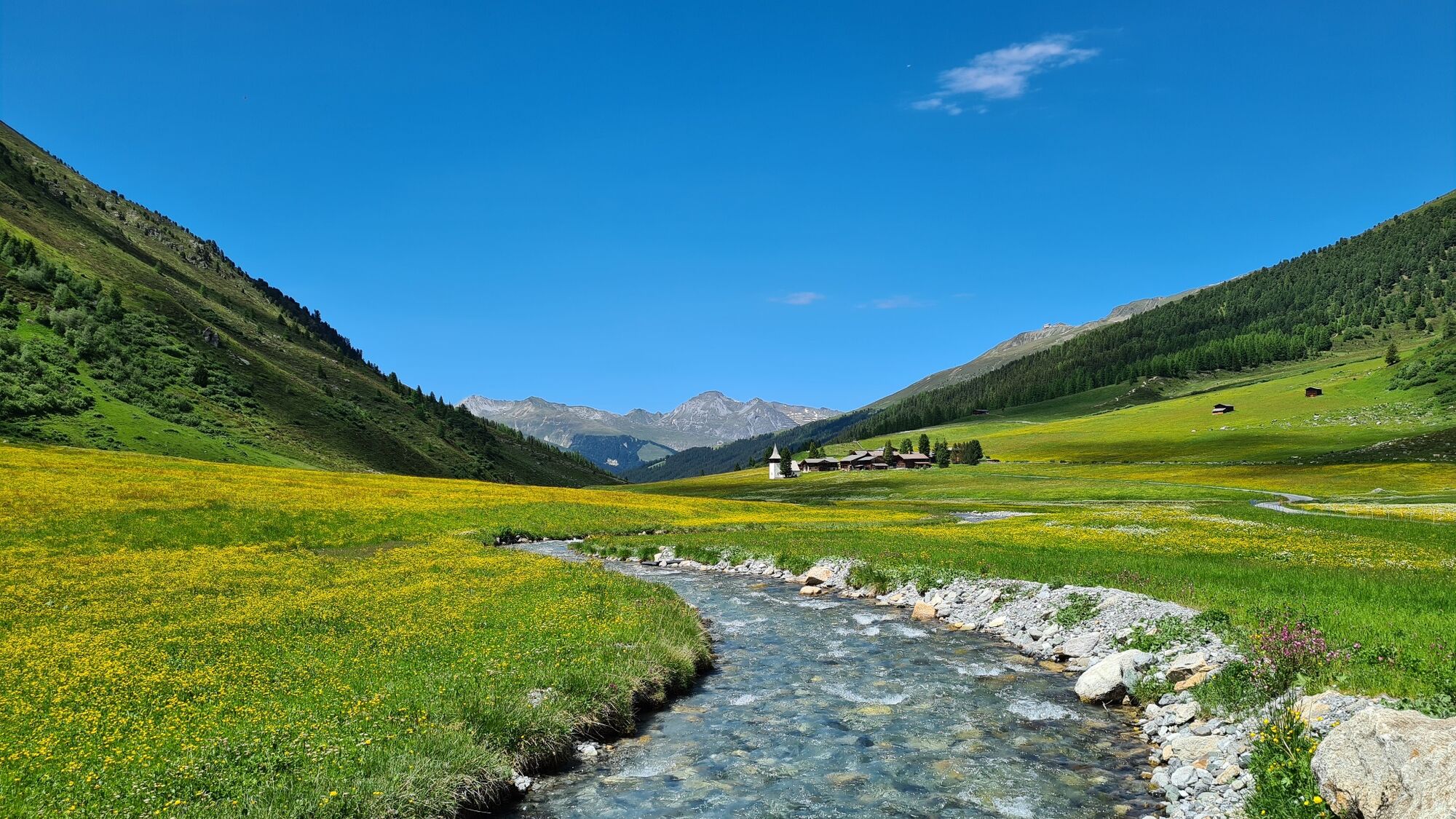
© Destination Davos Klosters - Martin Bissig

© Destination Davos Klosters - Giulia Monigatti

© Destination Davos Klosters - Giulia Monigatti

© Destination Davos Klosters - Giulia Monigatti

© Destination Davos Klosters - Giulia Monigatti
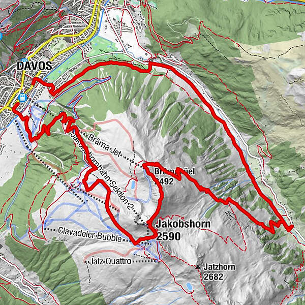

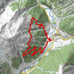
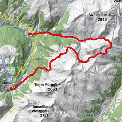
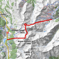
- Route
-
Davos (1,560 m)Chalet Güggel6.2 kmJakobshorn (2,590 m)6.7 kmBrämabüel (2,492 m)7.8 kmBräma Jet (2,492 m)7.9 kmStillbergalp10.6 kmTeufi (1,700 m)12.3 kmDavos (1,560 m)18.9 km
- Best season
-
JanFebMarAprMayJunJulAugSepOctNovDec
- Description
-
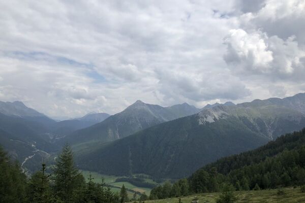
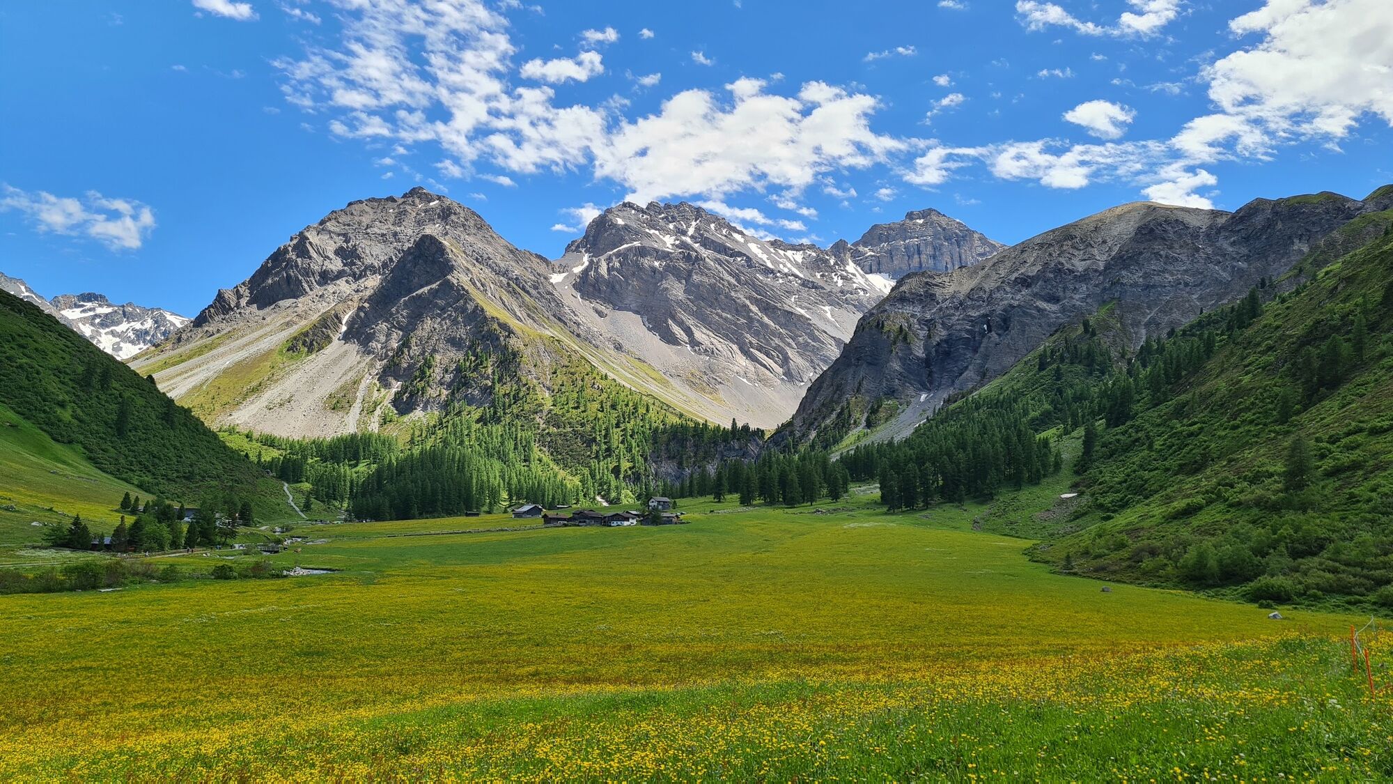
From Davos/Platz train station, we travel through the underpass to the south of the area and straight over the Landwasser river, arriving in Bolgen. The road leads between farmhouses and holiday homes and through meadows up to Gehöft at the forest edge. On the older and somewhat steeper Alpine road, we pass through Bolgenwald forest and arrive at Ischalp after some sharp turns. Above the stationhouse, the Alpine trail veers left initially. At the first cable car mast we take the good path left up through the bright lark forest, cross a creek and come to a fork in the road above Usser Isch. The steeper left-hand path turns before the ski lift and leads back to Krete. Then we ascend to the signposts and take a right on over Clavadeler mountain with its stunning panorama of the Ducan group.
At the mountain station of the Jatzhorn lift, we turn left onto the wide ski path, which leads to the Jakobshorn mountain station of the cable car with its mountain hotel, restaurant, panoramic view and sun terraces. From the summit, you can savour the view over the entire Davos region. Below the peak, our path traverses the mountain that descends steeply into Dischma, and on the curved ridge and over more peaks, we make our way to Brämabüel.
Passing the ski lift station, we soon reach the nest fork in the road, on the right a pleasant footpath with few very steep sections leads into the valley to Dischma, running along the ridge at some times, at others zigzagging alongside the snow research fields and the small Alp Stillberg. Following a stony border path, we descend further to the valley trail at Teufi. Heading out of the valley, we now follow the soothing Dischma creek until the Dischma road crosses the stream; here, the hiking trail leads up to the edge of the forest.
The upper path leads right through the stunning Mattenwald forest. On the forest road, we follow the signs to Clavadel, until a wide road leads us downwards. We continue straight down at the first houses on the footpath, then follow the road over the Landwasser river and under the railway line through to Davos/Platz train station. - Directions
-
Davos/Platz – Jakobshorn – Teufi – Davos/Platz
- Highest point
- 2,553 m
- Height profile
-
 © outdooractive.com
 - Additional information
-
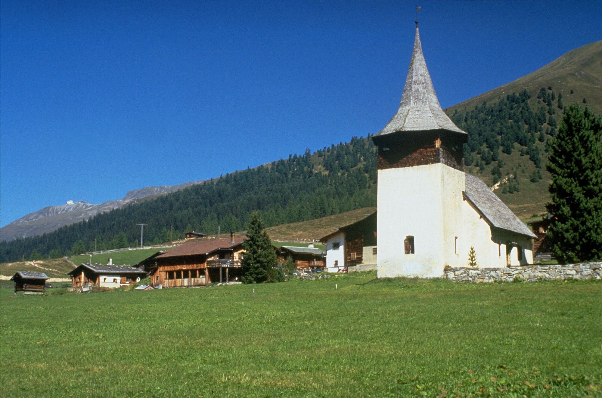
Davos: Davos was purely agrarian until 1850, and had 2,000 inhabitants even then due to the large scale of the municipality. A turbulent history has transformed the agrarian region developed by the Walsers into a spa and tourist destination. However, as the second-largest municipality in Switzerland, it also has beautiful recreational spaces to offer, such as Frauenkirch, Glaris, Monstein and the tributary valleys of Sertig and Dischma.
- Public transportation
-
Getting there and back: By PostBus or train (RhB) to and from Davos Platz.


- Author
-
The tour Dischma and Sertig (Circuit) is used by outdooractive.com provided.
GPS Downloads


Other tours in the regions
-
Davos Klosters
927
-
Davos
197