© Engadin Tourismus AG - Babuschkina/Miri Roth Photography


© Engadin Tourismus AG - Babuschkina/Miri Roth Photography

© Engadin Tourismus AG - Babuschkina/Miri Roth Photography


- Brief description
-
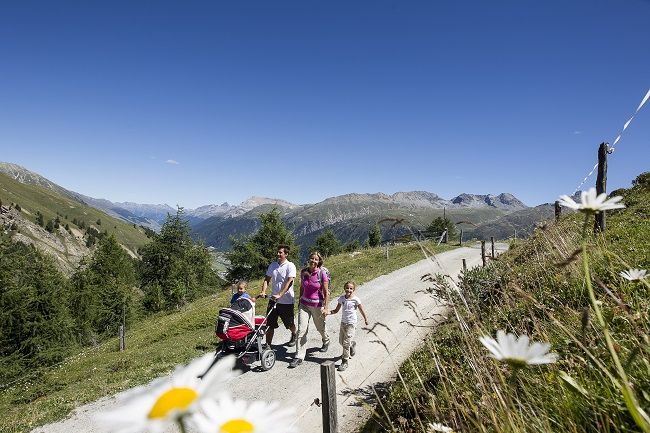
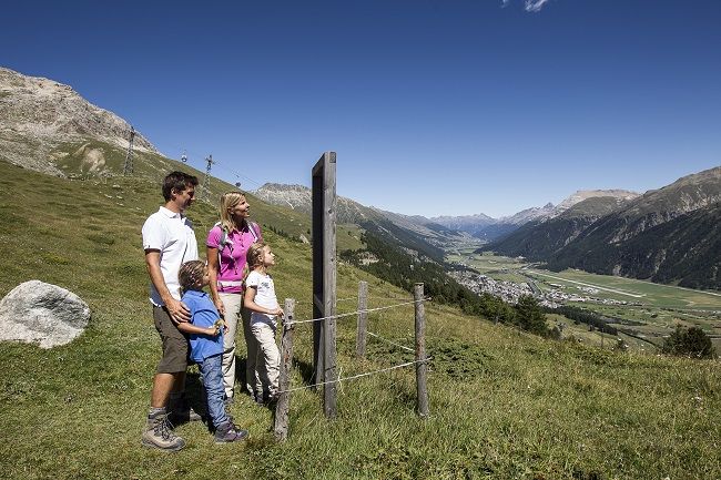
Take the gondola up to Marguns and walk back to Celerina with a beautiful view over the Upper Engadin.
- Difficulty
-
easy
- Rating
-
- Starting point
-
Marguns, top station
- Route
-
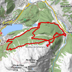
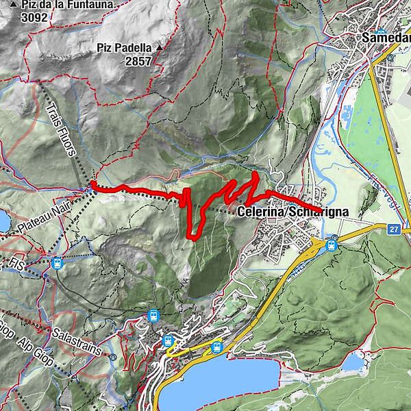
Marguns0.0 kmCelerina Tschinas3.7 kmCelerina (1,714 m)5.5 km
- Best season
-
JanFebMarAprMayJunJulAugSepOctNovDec
- Description
-
Every child in the Engadin is familiar with the three rock pinnacles above Marguns. For them, the «Trais Fluors» - as this distinctive rock formation is known in Romansh - are really fossilised magic flowers. This fact is often forgotten by adults. The hike begins at the top station of the Marguns gondola (2,278m/3,474ft) and finishes a leisurely 90 minutes later down in Celerina.
More information
Engadin Tourismus AG
Via Maistra 1
CH-7500 St. Moritz
Phone: +41 81 830 00 01
E-mail: allegra@engadin.ch
Internet: www.engadin.ch - Directions
-
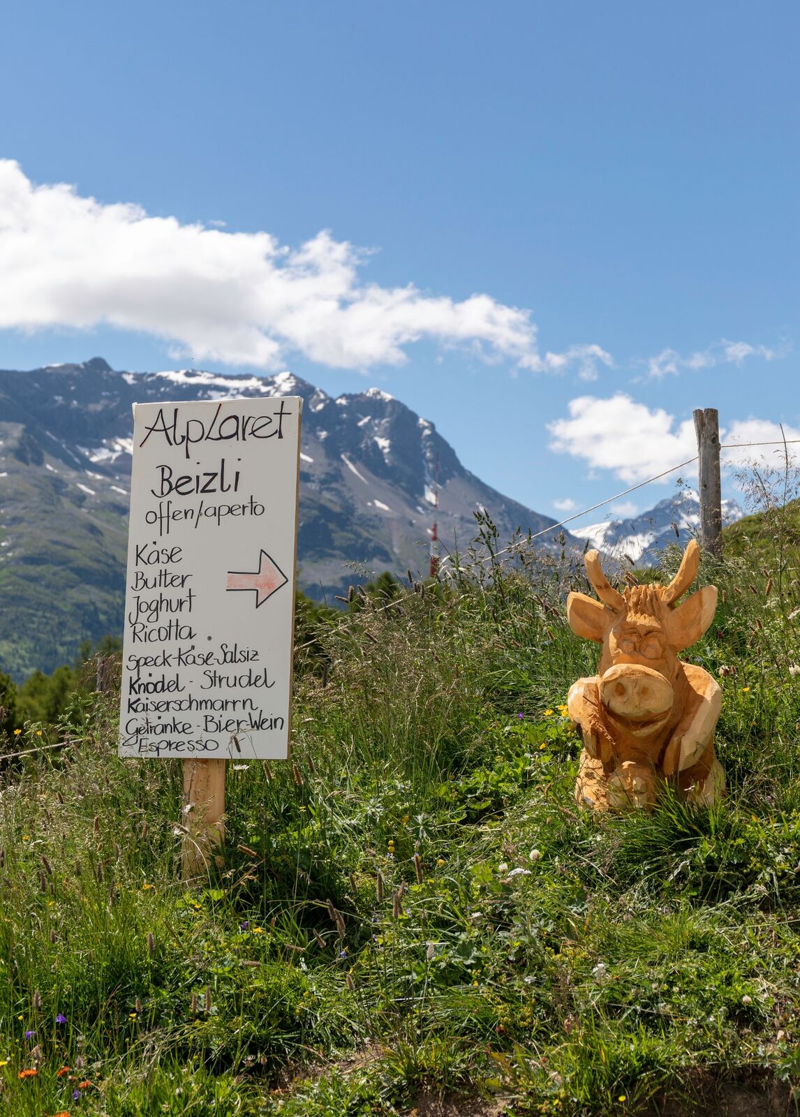
Marguns - Alp Laret - Saruels - Celerina
- Highest point
- 2,272 m
- Endpoint
-
Celerina
- Height profile
-
 © outdooractive.com
 - Tips
-
Marguns borrows scooters for the trip down to Celerina.
- Public transportation
- Parking


- Author
-
The tour Marguns - Celerina is used by outdooractive.com provided.
GPS Downloads


General info
Refreshment stop
A lot of view
Other tours in the regions
-
Engadin St. Moritz
782
-
Corviglia
348