- Brief description
-
Furtschellas water trail - the circular trail along six mountain lakes
- Difficulty
-
medium
- Rating
-
- Starting point
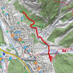
-
Furtschellas, middle station
- Route
-
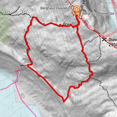
FurtschellasLa Chüdra0.0 kmLa Chüdra6.0 kmFurtschellas6.0 km
- Best season
-
JanFebMarAprMayJunJulAugSepOctNovDec
- Description
-
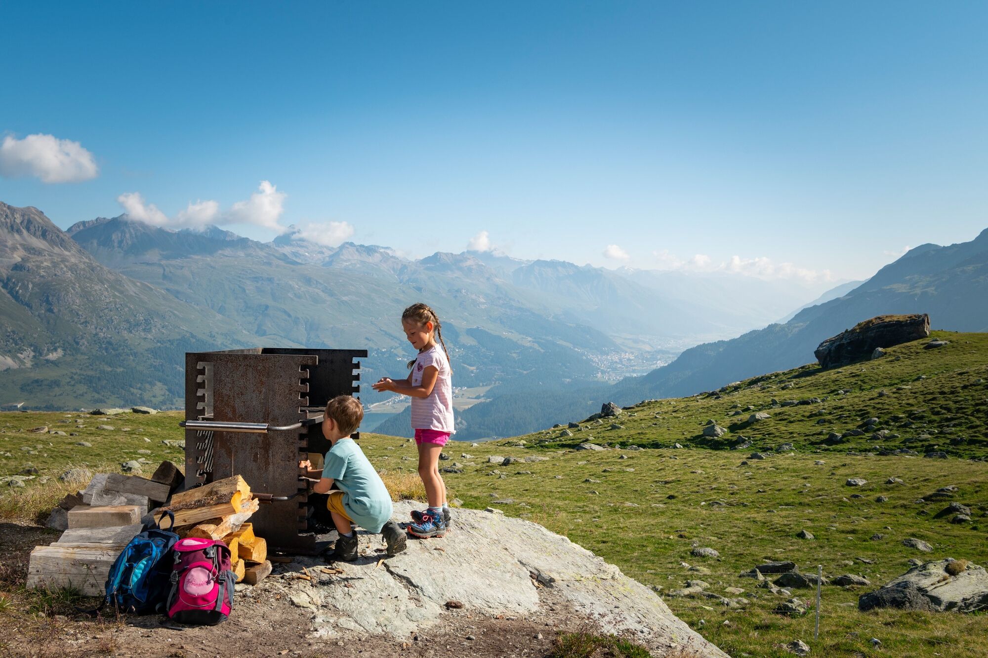
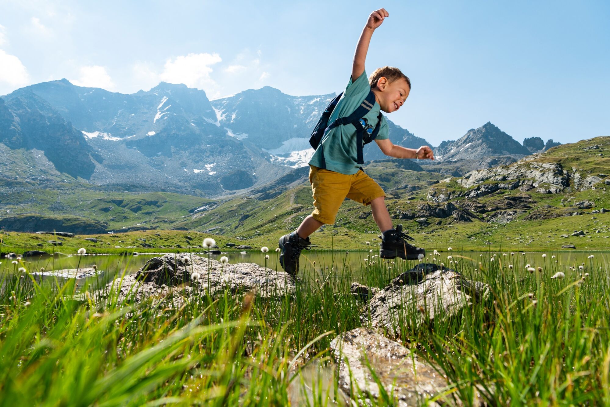
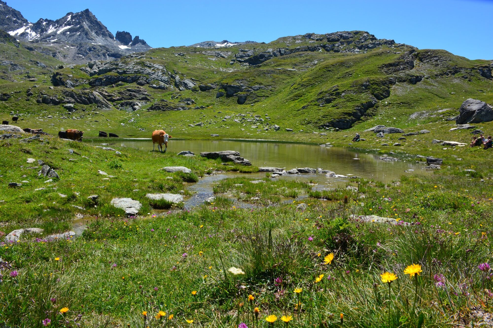
They sparkle in the Upper Engadin summer sun like shiny sequins on an evening gown: high up on the Furtschellas (2,312m/7,589ft), six small mountain lakes reflect the sky in their crystal-clear waters. The Water Trail follows a 2 1/2 hour circular route past the lakes towards Alp Munt, and then back again along the other side to the summit station. The breathtaking view extends across the lake plateau, deep into the valley and up again on the other side to the rocky flanks of the Corvatsch massif. Numerous vantage points invite hikers to stop and linger. At the Lejin Rhodonit (not far from the Usteria Rabgiusa, closed in summer) there is a BBQ area with wood and a metal grille for use. Sausages can be purchased at the La Chüdera mountain restaurant, or if you prefer to travel light, you can enjoy delicious Graubünden specialities on the spacious sun terrace.
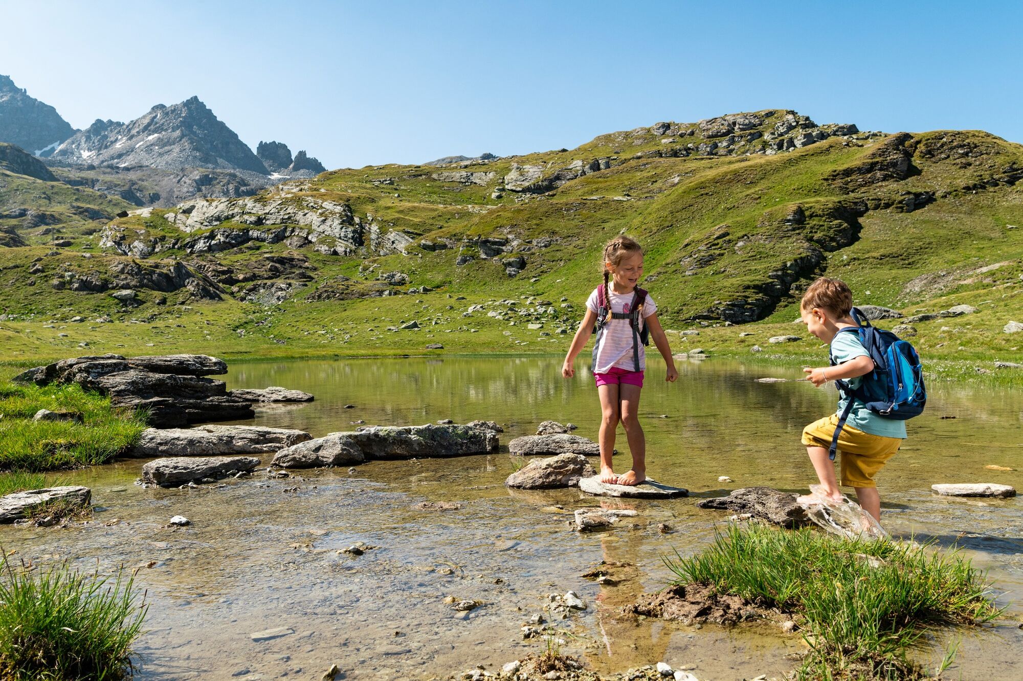
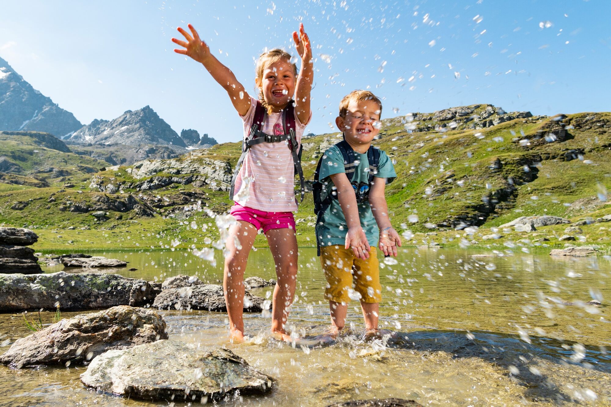
Hiking fun for families: enjoy the company of "Mara" the mountain fairy and "Furbaz" the goblin. The water hiking trail for young explorers, with a colourful games & activity book, has an exciting tale to tell.The shortened variant leads directly to Lejin Malachit, Lejin Rhodonit, Lejin S-chaglia and Lejin Epidot. The somewhat steep incline at the beginning of the tour can thus be avoided.
More information
Engadin Tourismus AG
Via Maistra 1
CH-7500 St. Moritz
Phone: +41 81 830 00 01
E-mail: allegra@engadin.ch
Internet: www.engadin.ch - Directions
-
Furtschellas - Lejin Magnetit - Lejin Malachit - Rabgiusa - Furtschellas
- Highest point
- 2,653 m
- Endpoint
-
Furtschellas, middle station
- Height profile
-
 © outdooractive.com
 - Safety instructions
-
not suitable for strollers.
- Tips
-
The booklet "Plitsch and Platsch" can be obtained free of charge at the ticket offices of the valley stations Corvatsch and Furtschellas.
- Additional information
- Directions
-
Sils, Furtschellas
- Public transportation
-
Bus stop Furtschellas Talstation and then with the Furtschellas gondola up.
- Parking
-
car park at the valley station of the Furtschellas gondola

- Author
-
The tour 721 Senda Ils Lejins is used by outdooractive.com provided.


General info
-
Veltlin / Valtellina
851
-
Engadin St. Moritz
782
-
Sils
311