© Engadin Tourismus AG - Babuschkina/Miri Roth Photography

© Engadin Tourismus AG - Babuschkina/Miri Roth Photography

© Engadin Tourismus AG - Babuschkina/Miri Roth Photography


- Brief description
-
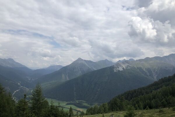
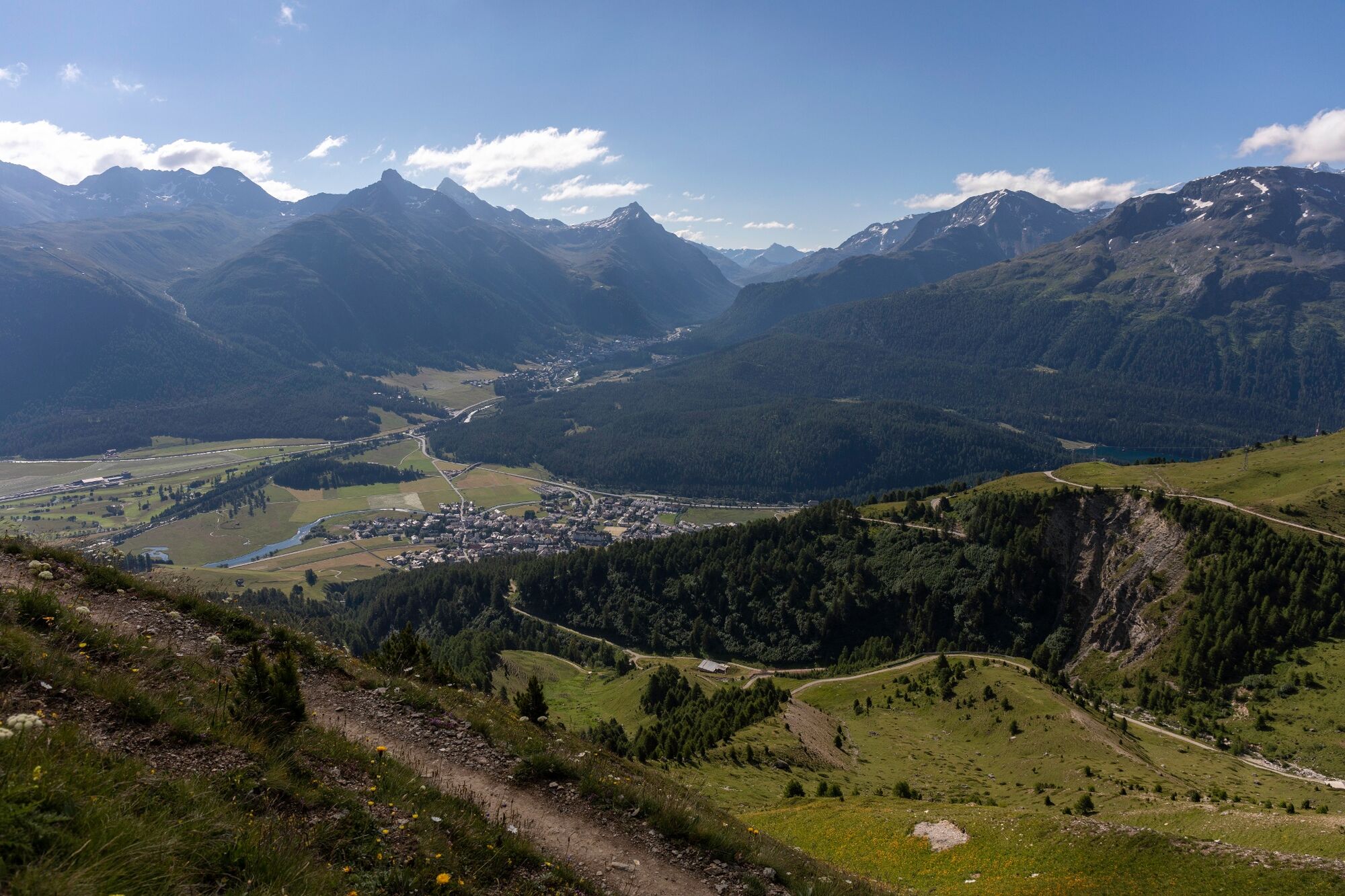
Fantastic view along the high-altitude trail from Marguns to Alp Muntatsch
- Difficulty
-
easy
- Rating
-
- Starting point
-
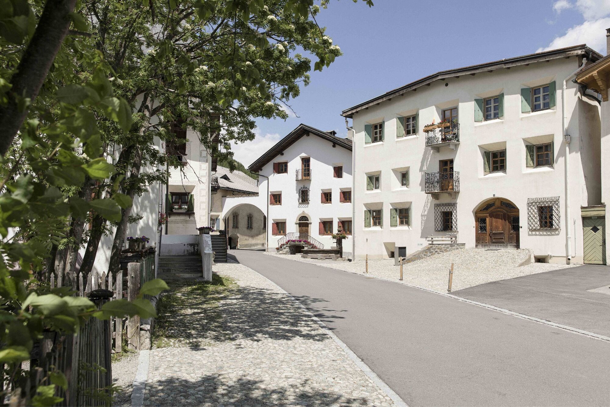
Marguns, Celerina
- Route
-
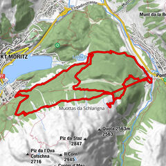
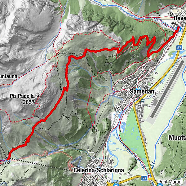
MargunsAlp Muntatsch (2,186 m)5.8 kmDa Primo9.7 kmBever (1,714 m)9.8 km
- Best season
-
JanFebMarAprMayJunJulAugSepOctNovDec
- Description
-
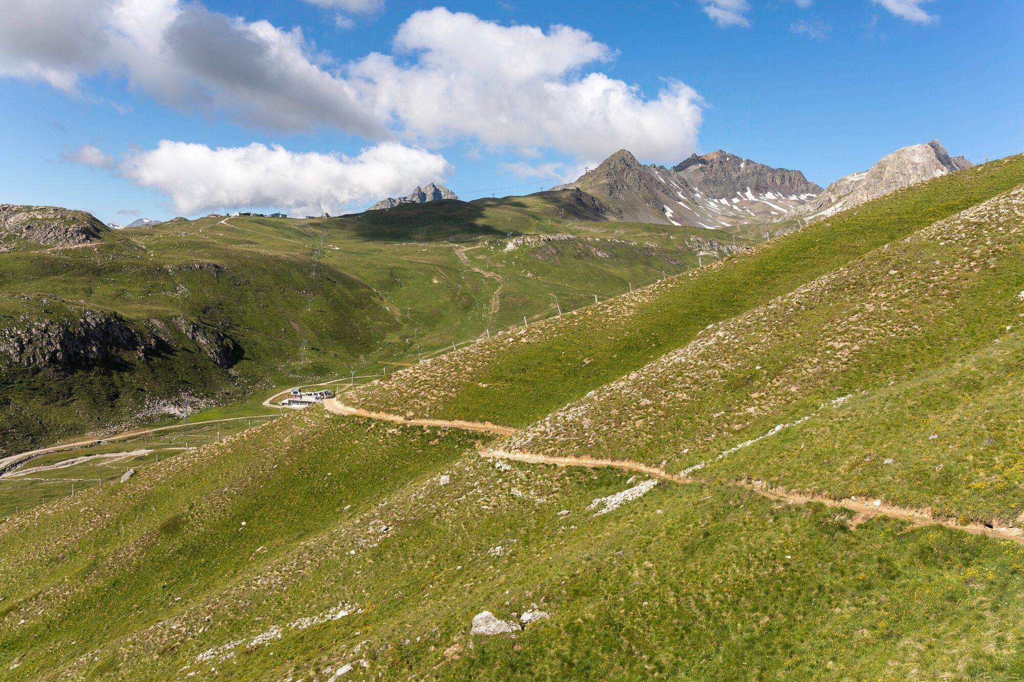
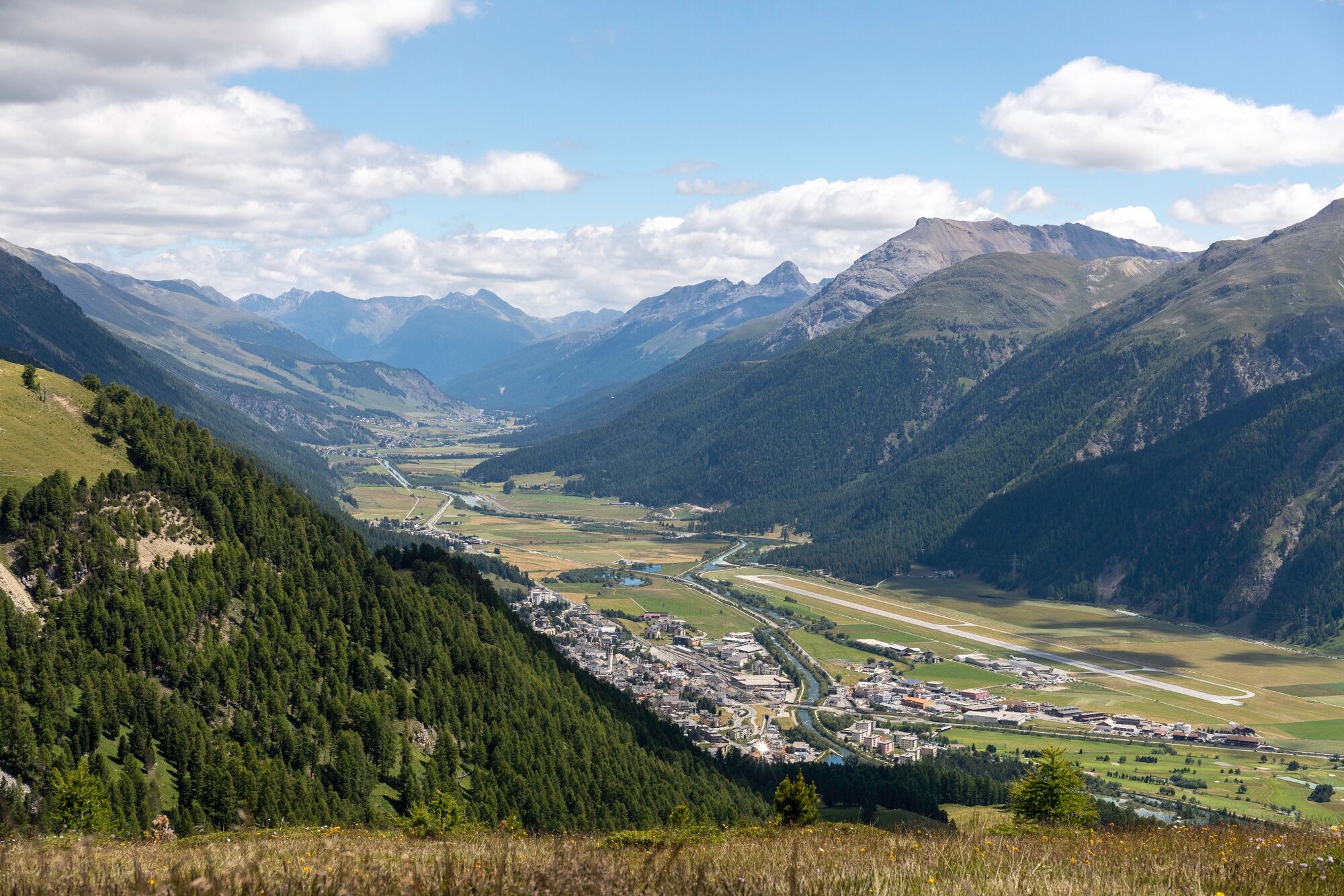
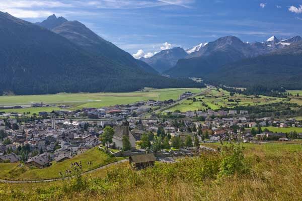
Take the gondola up to Marguns, where this stage starts. The Via Engiadina continues via the Munt da la Bês-cha high-altitude trail along the Piz Padella. Tradition is actively cultivated in Alp Muntatsch. After a rest stop amidst the wonderful Alpine scenery, you can tackle the descent to the picturesque village of Samedan with renewed vigour. At the Muntarütsch firing range in Samedan, the Via Engiadina branchs off and in no time at all you reach Bever.
More information
Engadin Tourismus AG
Via Maistra 1
CH-7500 St. Moritz
Phone: +41 81 830 00 01
E-mail: allegra@engadin.ch
Internet: www.engadin.ch
Booking
Eurotrek AG
Zürcherstrasse 42
CH-8103 Unterengstringen
Phone: +41 44 316 10 00
E-mail: eurotrek@eurotrek.ch
Internet: www.eurotrek.ch/en/hiking-via-engiadina - Directions
-
Marguns - Munt da la Bês-cha - Alp Muntatsch - Muntarütsch - Bever
- Highest point
- 2,487 m
- Endpoint
-
Bever
- Height profile
-
 © outdooractive.com
 - Tips
-
Those who like, can walk from Celerina up through the Val Saluver to Marguns (1.45 h).
- Public transportation
- Author
-
The tour 87 Via Engiadina: stage 3 Celerina (Marguns)-Bever is used by outdooractive.com provided.
GPS Downloads


General info
Refreshment stop
Flora
A lot of view
Other tours in the regions
-
Engadin St. Moritz
782
-
Samedan
286