- Brief description
-
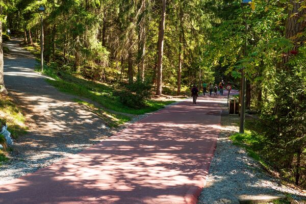
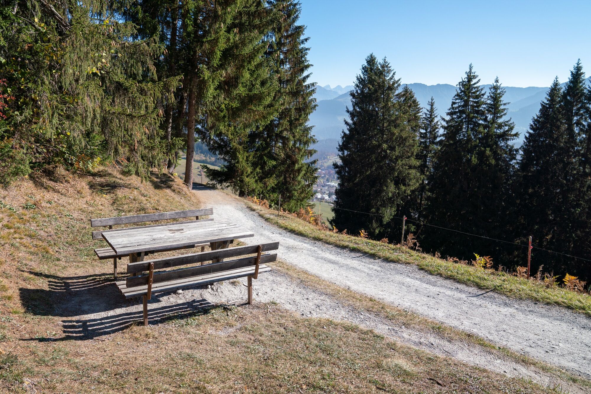
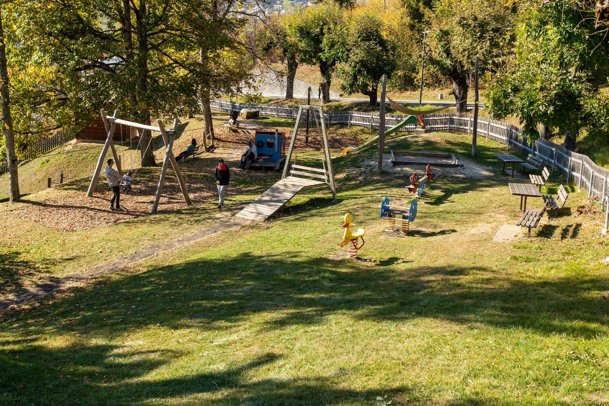
This hike is suitable for pushchairs! Between Fidaz and Flims is a children's playground with a beautiful view of Flims.
- Difficulty
-
easy
- Rating
-
- Starting point
-
Flims, mountain station Foppa
- Route
-
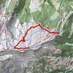
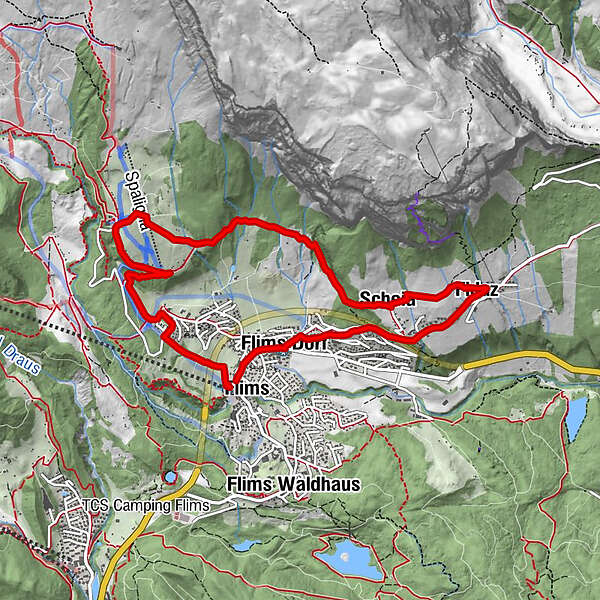
Flims (1,081 m)Foppa (1,424 m)2.7 kmCasa Berendi2.8 kmScheia5.7 kmHaldenhaus5.8 kmFidaz6.8 kmSpielplatz Plaids (1,099 m)8.3 kmFlims Dorf8.8 kmFlims (1,081 m)9.4 km
- Best season
-
JanFebMarAprMayJunJulAugSepOctNovDec
- Description
-
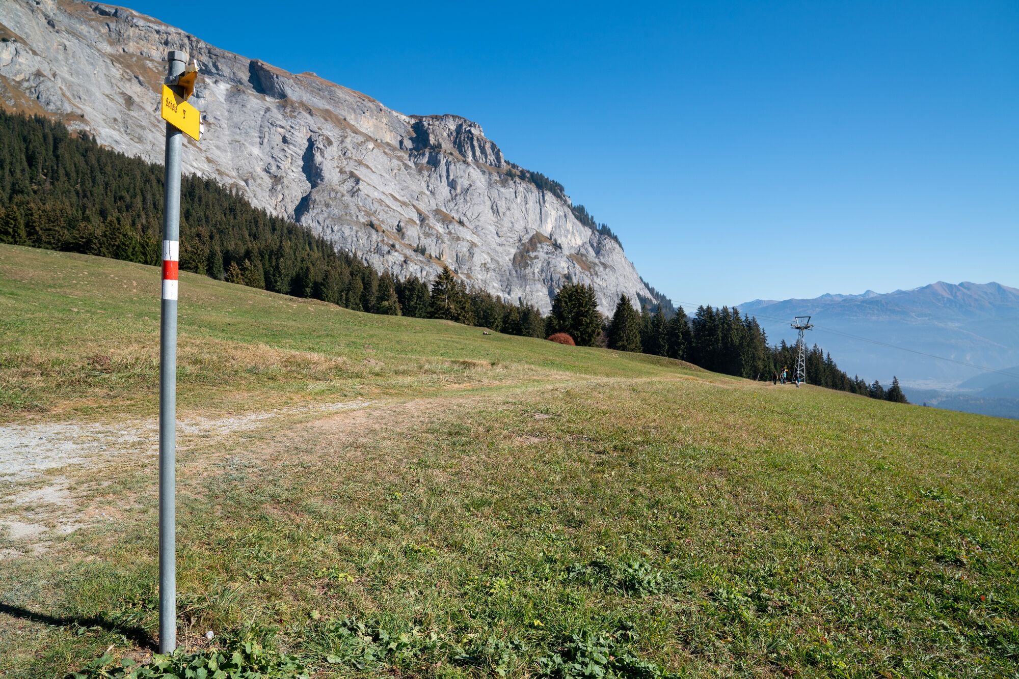
The Romansh language is one of the hallmarks of the region. An equally entertaining and informative nature trail leads from Foppa via Spaligna to Scheia and Fidaz. The panels are of course in Romansh and German.
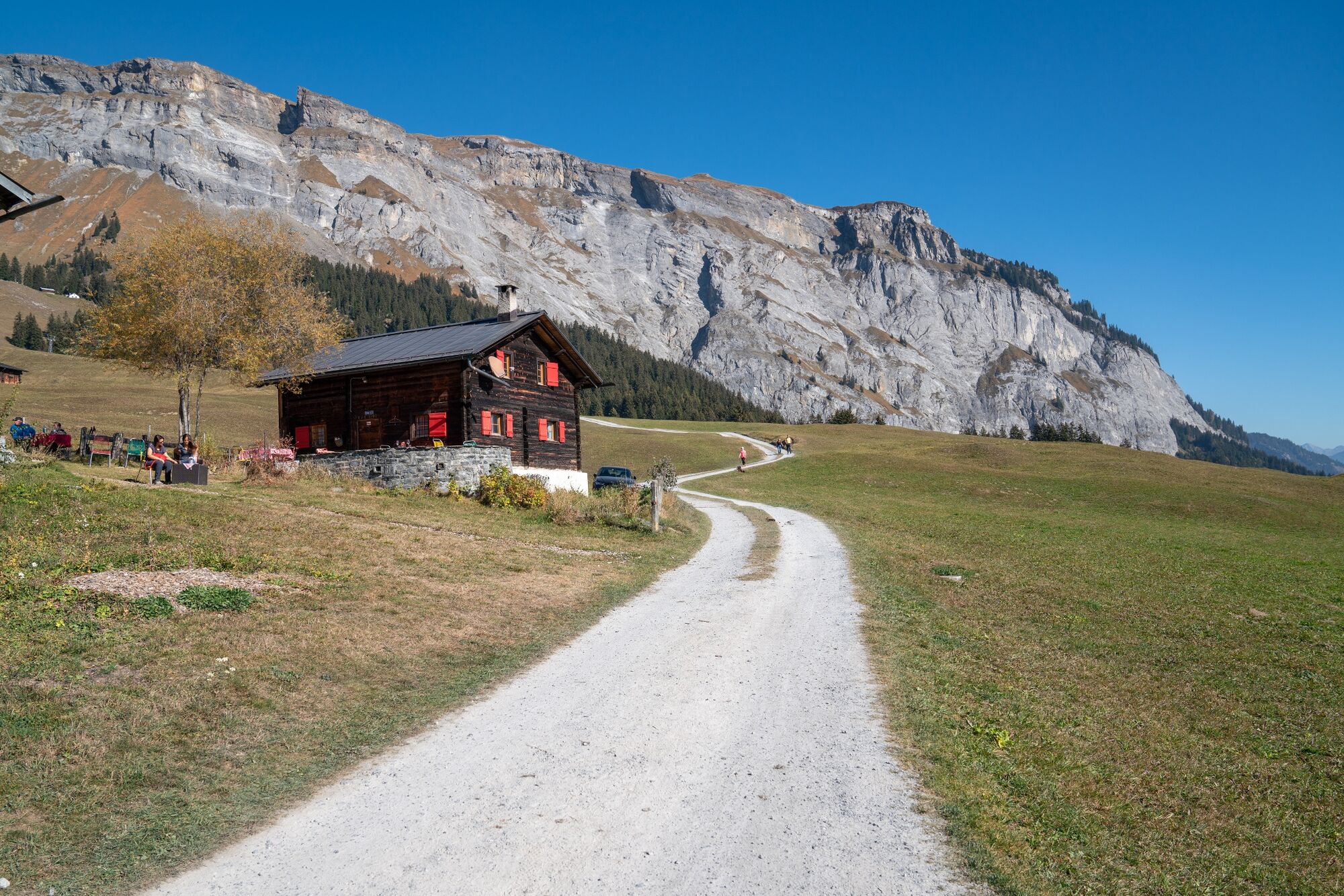
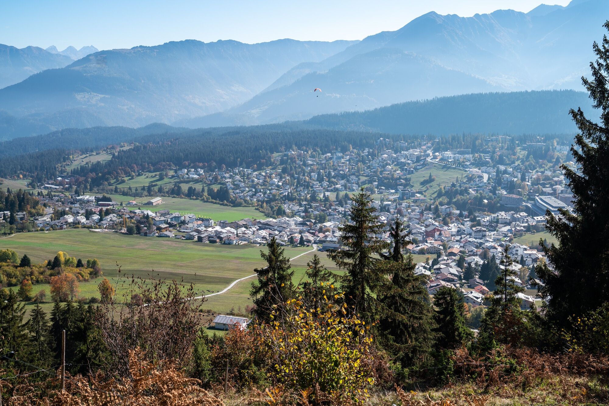
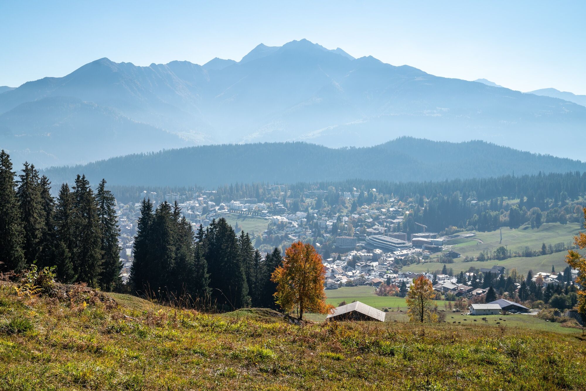
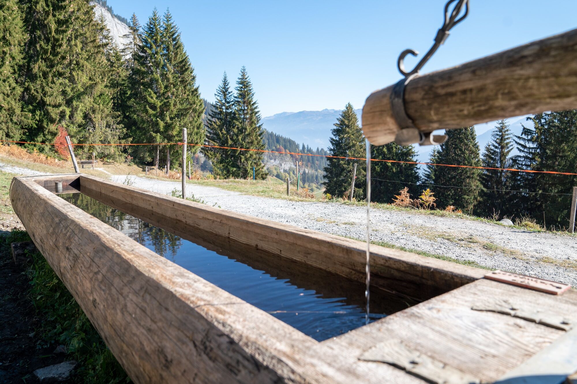
From the Flims valley station we walk comfortably to Foppa. Once there, it goes to Spaligna and further along the Höhenweg to Scheia. From there it goes on forest paths to Spaligna and further along the Höhenweg to Scheia. After a short while you reach the Romansh educational trail, which accompanies us to Scheia. We learn interesting facts about the area and its language from various signs. At Spaligna, Prau Palusa and Crap da Sigls, the hike crosses dry meadows of national importance. The Flimserstein and the niche at Alp Nagens are the origin of the great Flims landslide. The trailing edge was defined as the boundary line to the UNESCO World Heritage Tectonic Arena Sardona. In Scheia there is the possibility to shop at various organic farmers. Then it's on to Fidaz, past the restaurant and down to Flims.
snow line map
While there is already snow at higher altitudes, the paths in the valley are still snow-free. Our interactive snow depth map will help you plan your tour. Here, at www.flims.com/snowsituation, you can see at a glance where you have to expect snow on the paths and trails and where you can still be out and about without getting cold feet.
- Directions
-
Foppa - Scheia - Fidaz - Flims
- Highest point
- 1,432 m
- Endpoint
-
Flims
- Height profile
-
 © outdooractive.com
 - Equipment
-
Good mountain boots and rain protection strongly recommended.
- Tips
-
A visit to the Haldenhaus restaurant.
- Additional information
- Directions
-
By car Motorway A13 from Zurich, exit 18 Flims.
- Public transportation
-
Stop: Flims Bergbahnen
By the post bus from Chur or the public Flims Laax Falera Shuttle.
- Parking
-
750 parking spaces in parking garage Flims Bergbahnen.


-

-
AuthorThe tour Elevated hike Foppa - Scheia - Fidaz - Flims is used by outdooractive.com provided.


General info
-
Heidiland
2205
-
Flims Laax Falera
774
-
Trin
277