

© Pontresina Tourismus
© Pontresina Tourismus
© Pontresina Tourismus
© Pontresina Tourismus

© Pontresina Tourismus

© Pontresina Tourismus
© Pontresina Tourismus

© Pontresina Tourismus

- Brief description
-
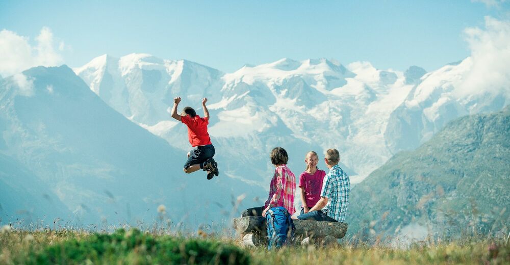
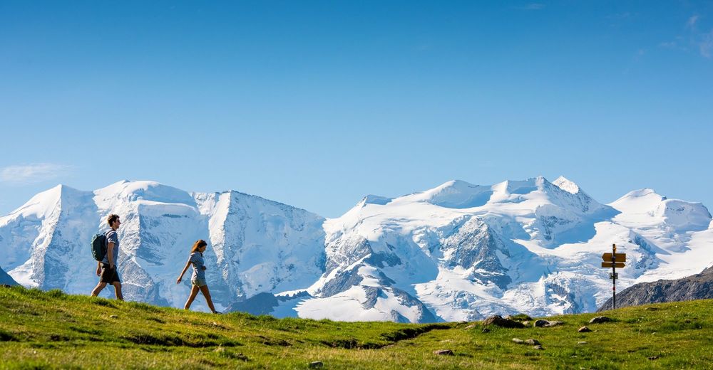
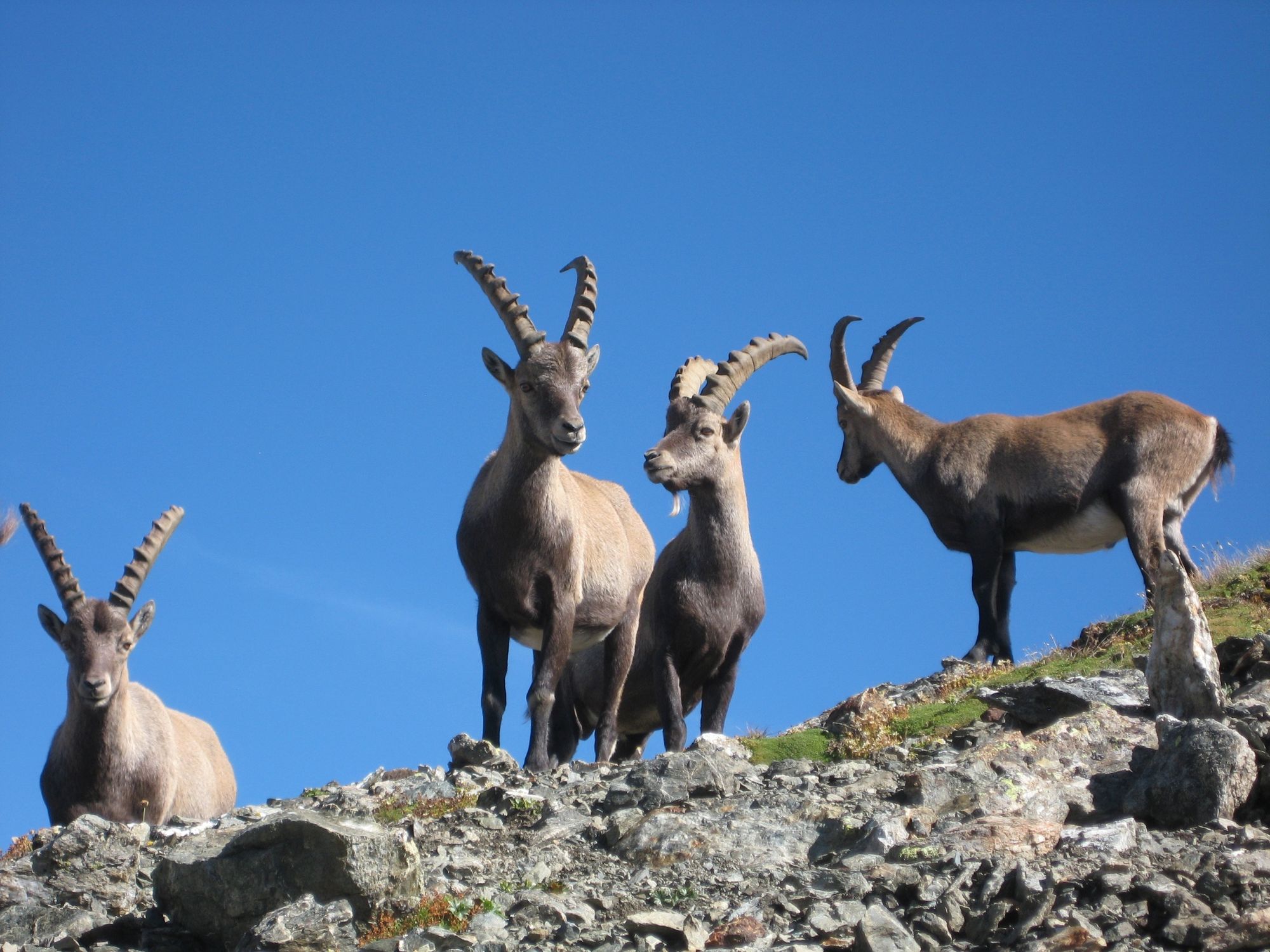
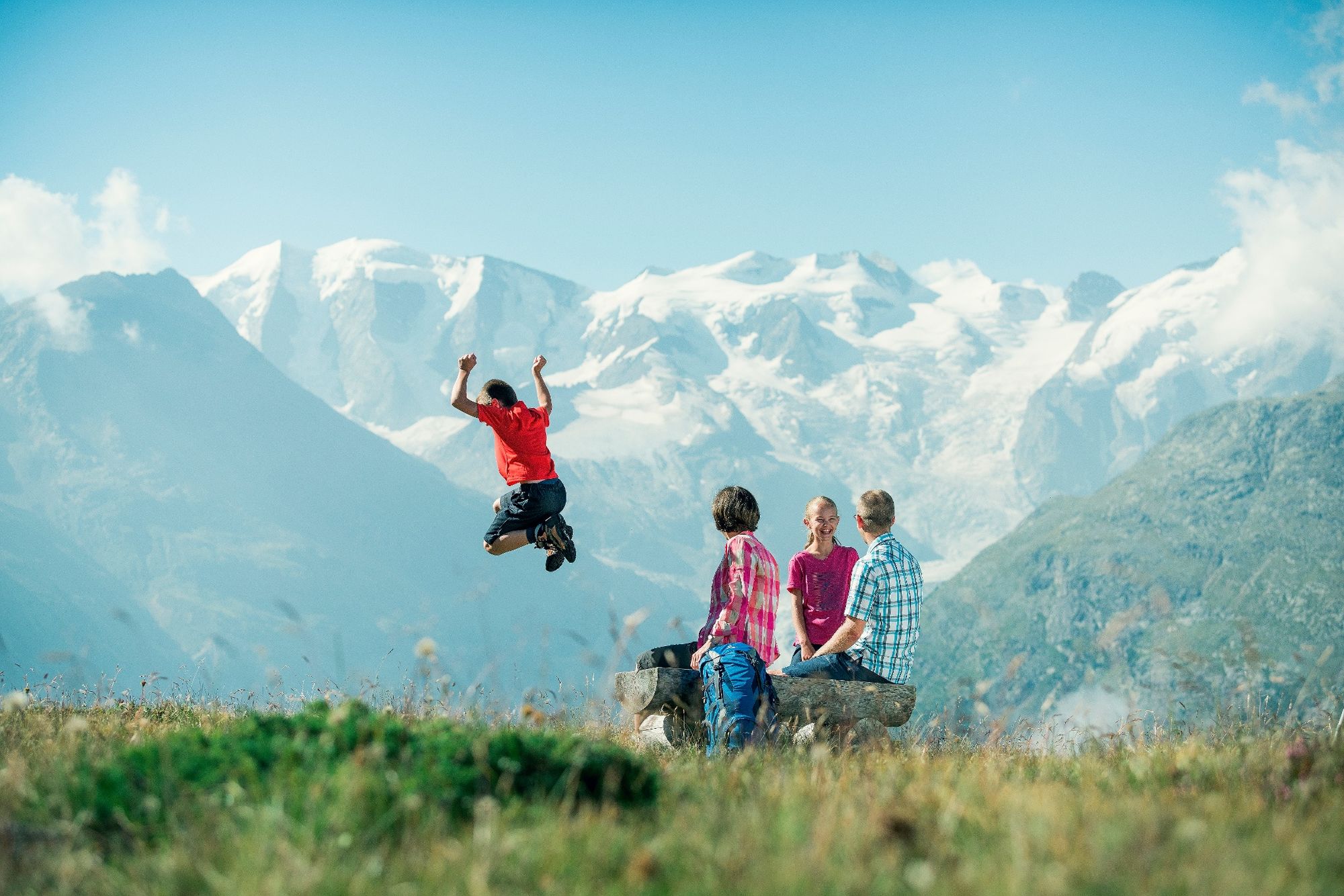
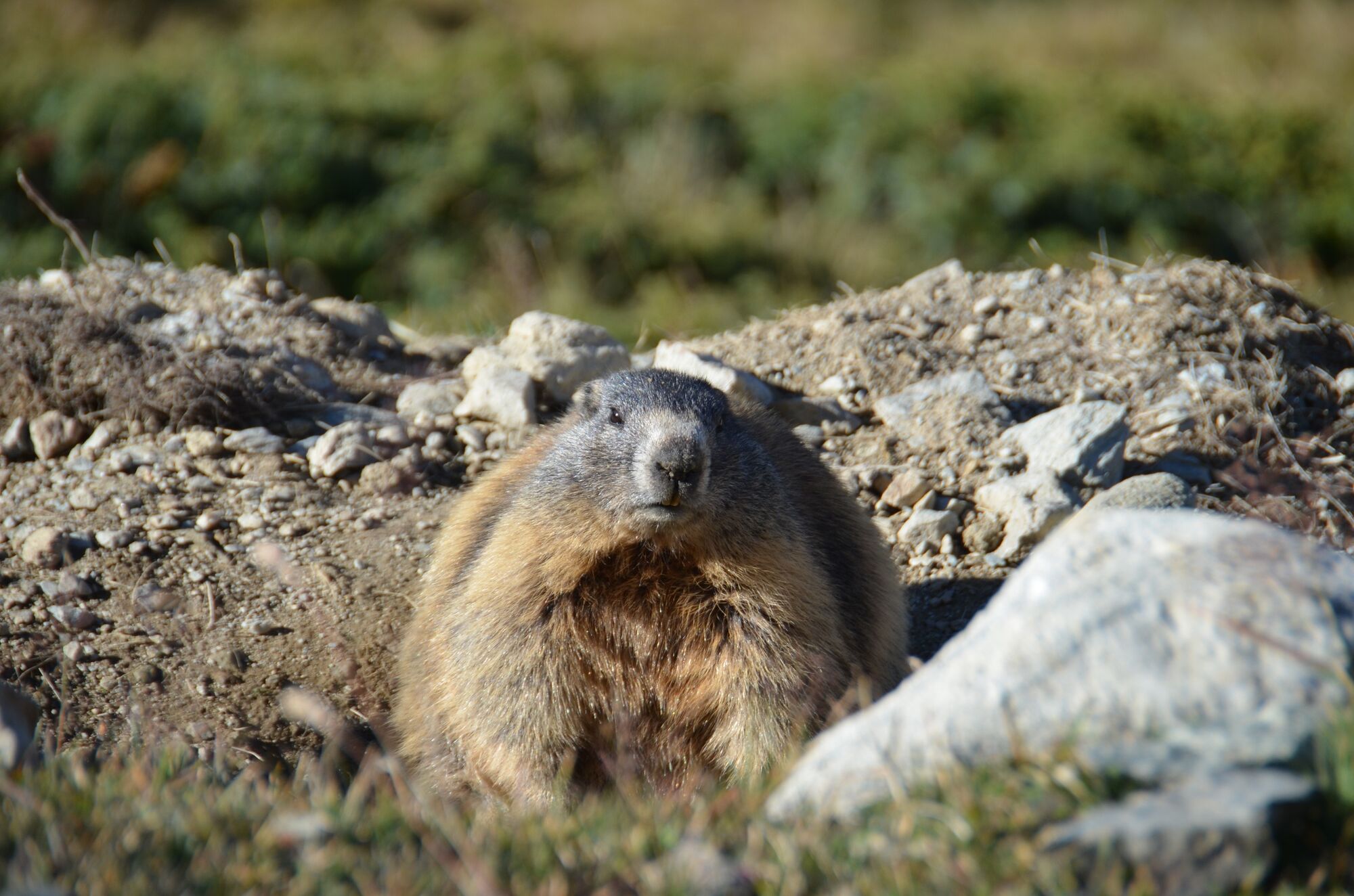
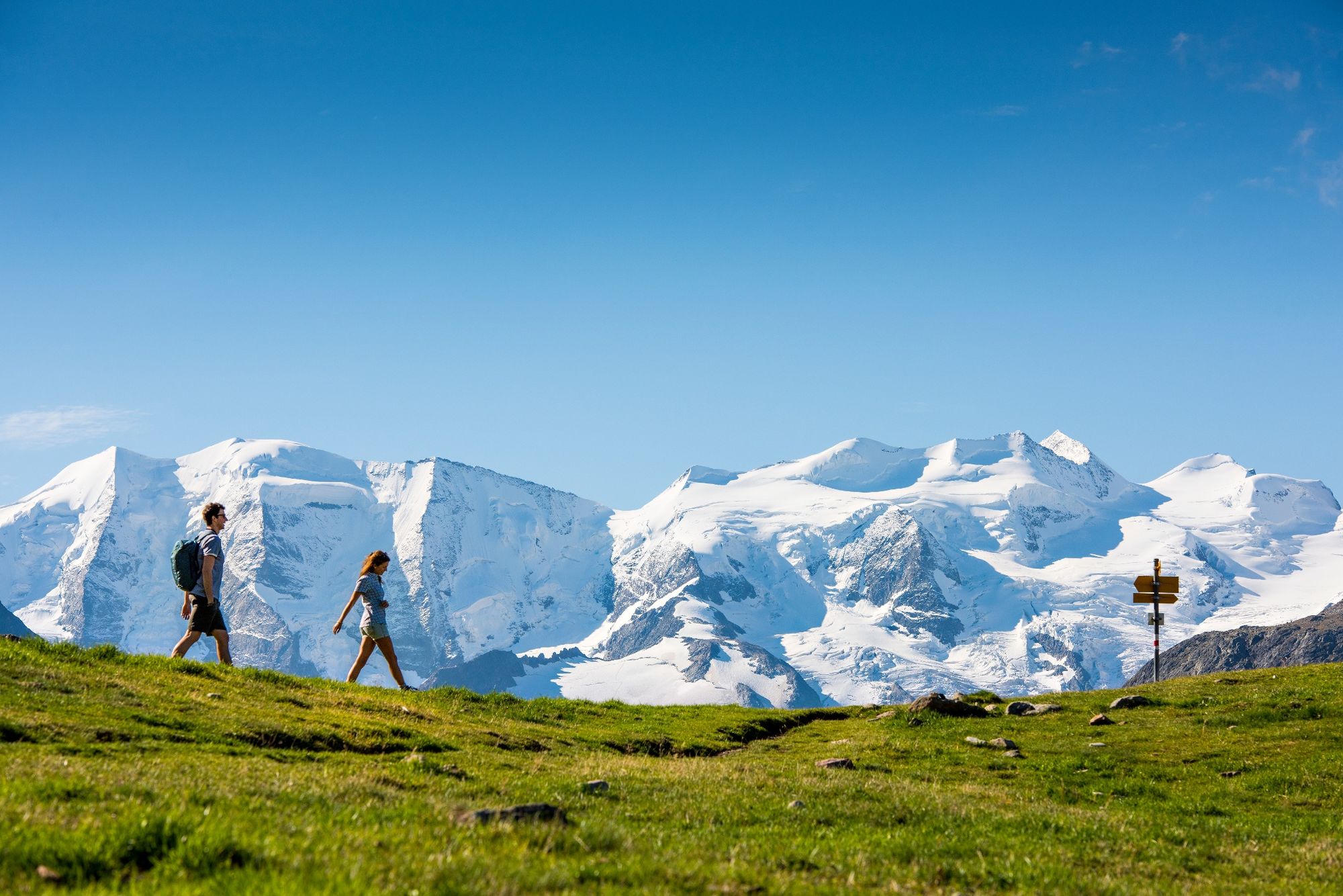
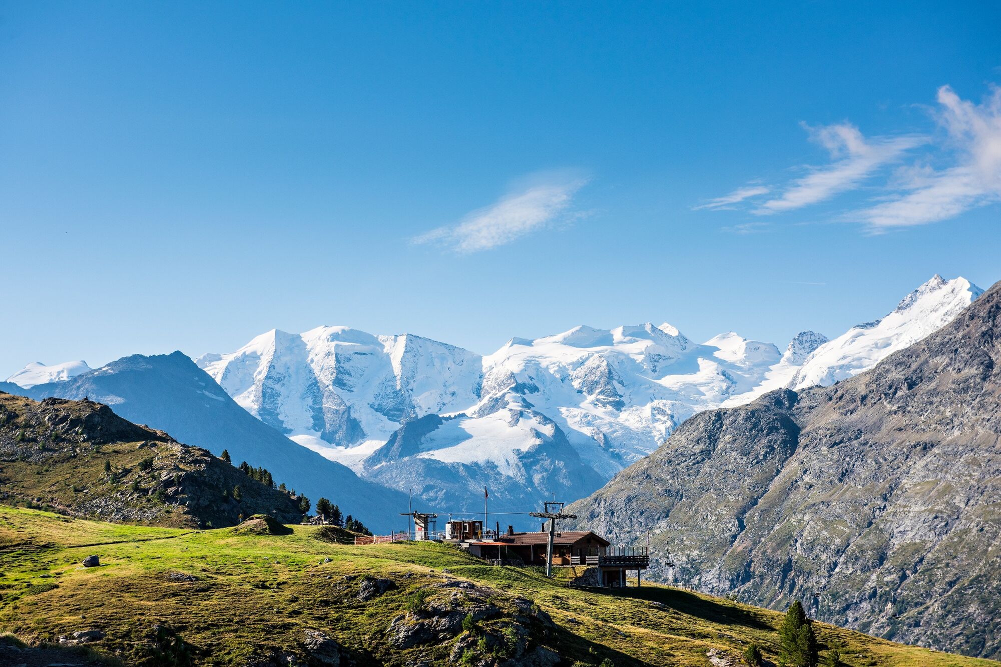
This tour is an entertaining hike affording marvellous views of the Bernina mountain range and, if you are lucky enough, a glimpse of one or the other ibex
- Difficulty
-
easy
- Rating
-
- Starting point
-
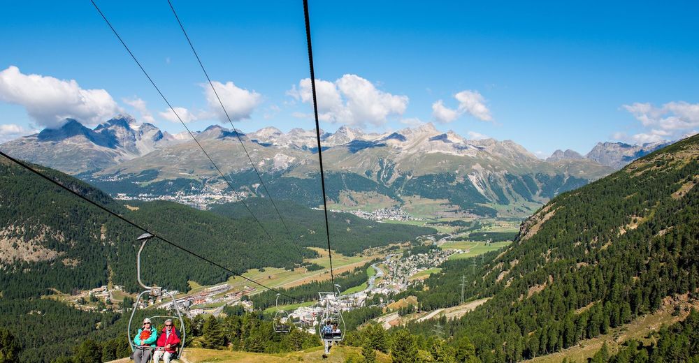
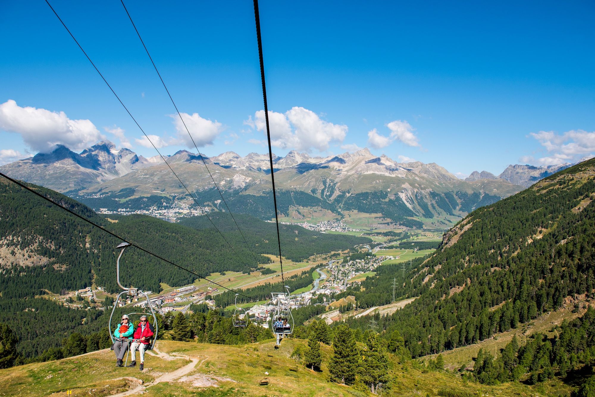
Pontresina, Alp Languard
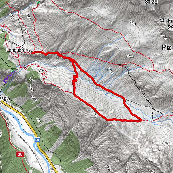
- Route
-
Alp LanguardLanguard (2,326 m)0.0 kmParadieshütte2.7 kmLanguard (2,326 m)4.7 kmAlp Languard4.7 km
- Best season
-
JanFebMarAprMayJunJulAugSepOctNovDec
- Description
-
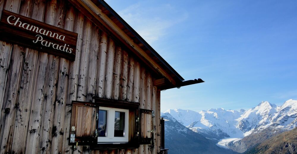
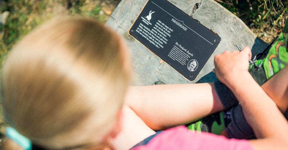
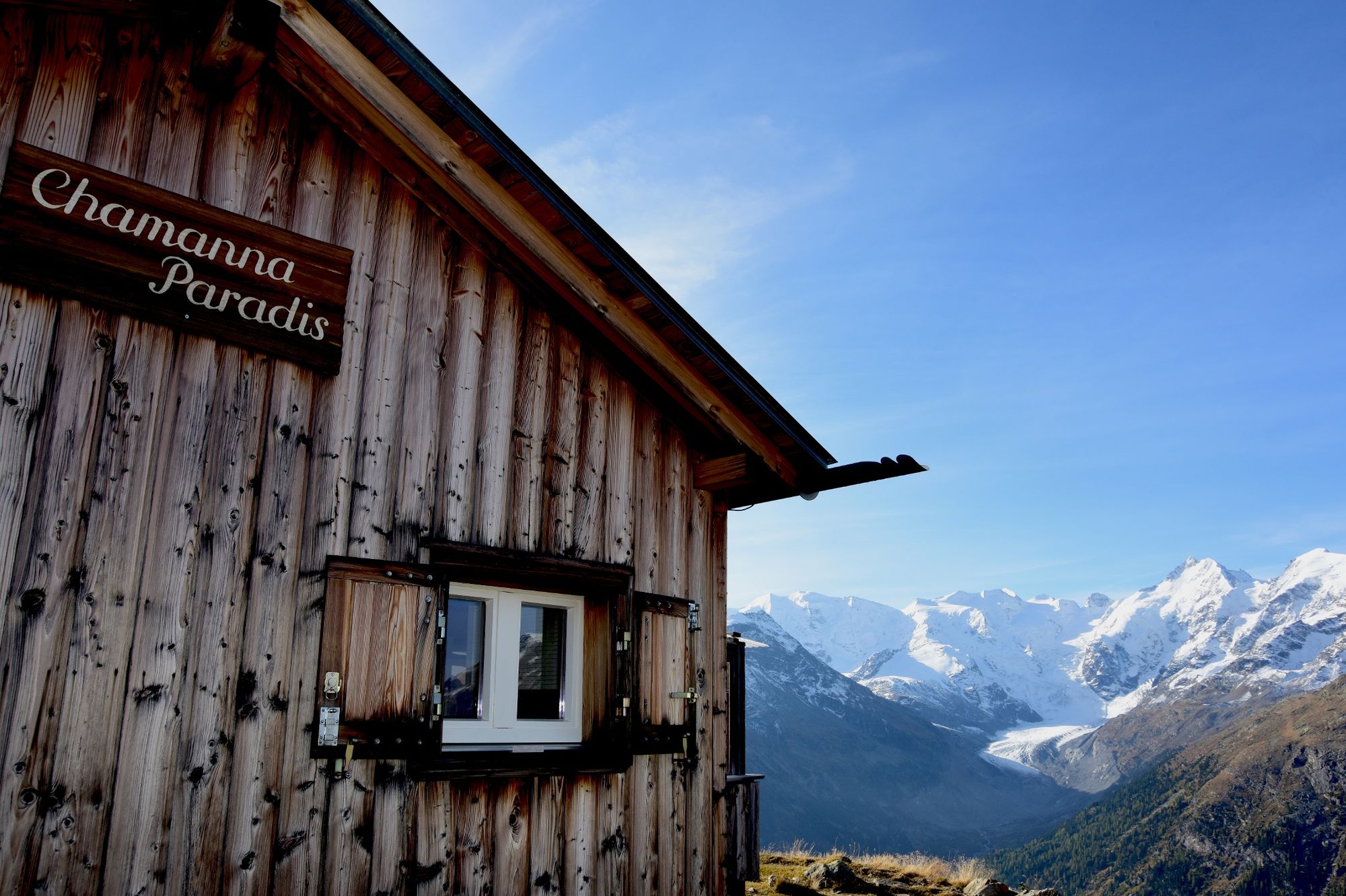
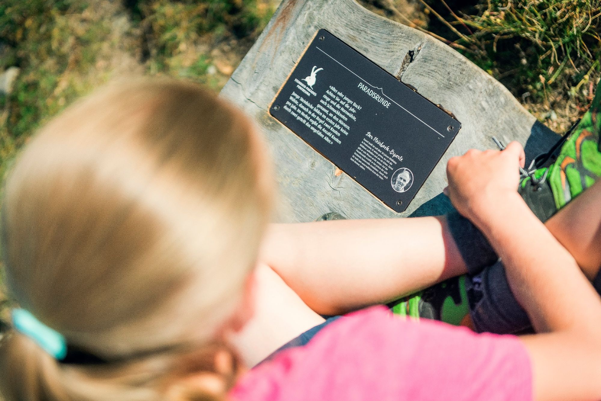
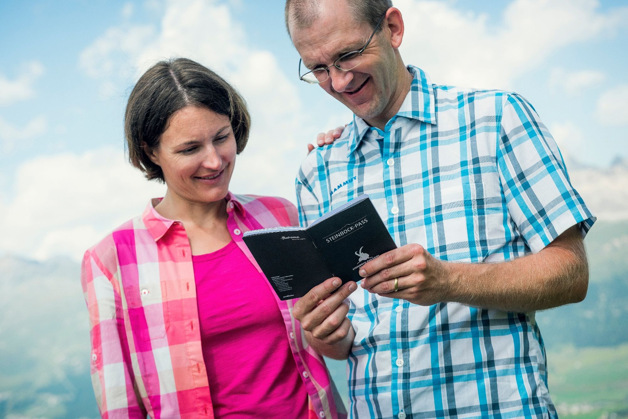
Having reached Alp Languard, hikers are required to choose between a challenging excursion to one of the surrounding mountains cabins or a leisurely stroll on the Paradis Tour featuring Chamanna Paradis. The latter is an entertaining hike affording marvellous views of the Bernina mountain range and, if you are lucky enough, a glimpse of one or the other ibex. Remember: the benches on the way to Chamanna Paradis are worth taking a break on. Listen to Pontresina ranger Daniel Godli telling funny anecdotes on ibices on the Paradis Tour from Alp Languard to Chamanna Paradis. Remember to discover Pontresina's Ibex Paradise. www.pontresina.ch/ibex-paradise
More Information
Engadin Tourismus AG
Via Maistra 1
CH-7500 St. Moritz
Phone: +41 81 830 00 01
E-Mail: allegra@engadin.ch
Internet: www.engadin.ch - Directions
-
Alp Languard - Chamanna Paradis - Alp Languard
- Highest point
- 2,538 m
- Endpoint
-
Pontresina, Alp Languard
- Height profile
-
 © outdooractive.com
 - Tips
-
Remember to discover Pontresina's Ibex Paradise. www.pontresina.ch/ibex-paradis
- Public transportation
- Parking
-
a few parking spaces at the valley station of the chairlift Alp Languard
- Author
-
The tour Paradis tour is used by outdooractive.com provided.
GPS Downloads


General info
Refreshment stop
Flora
Fauna
A lot of view
Other tours in the regions
-
Veltlin / Valtellina
852
-
Engadin St. Moritz
782
-
Pontresina
317


