© Viamala Tourismus - Marco Hartmann

© Graubünden Ferien - Andreas Meyer


- Brief description
-
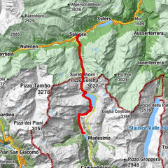
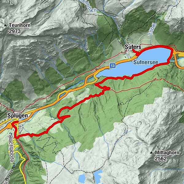
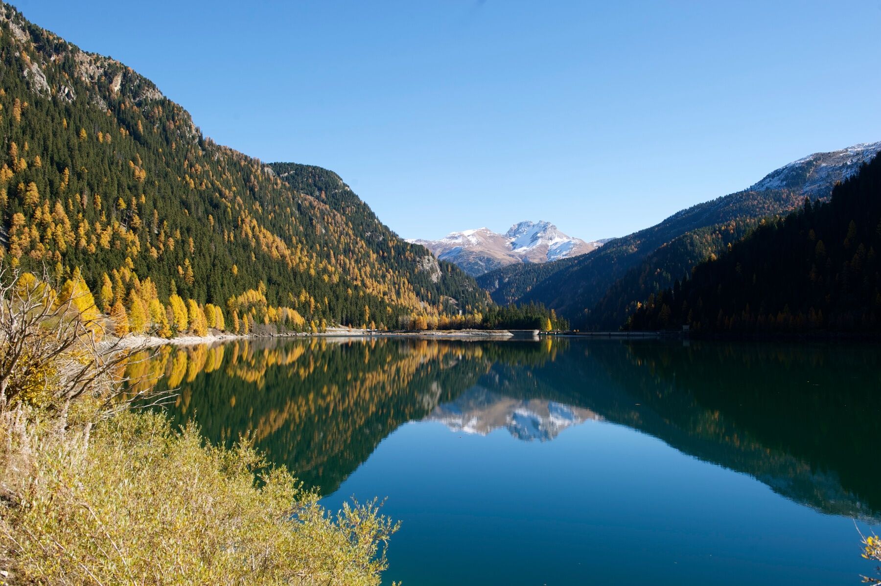
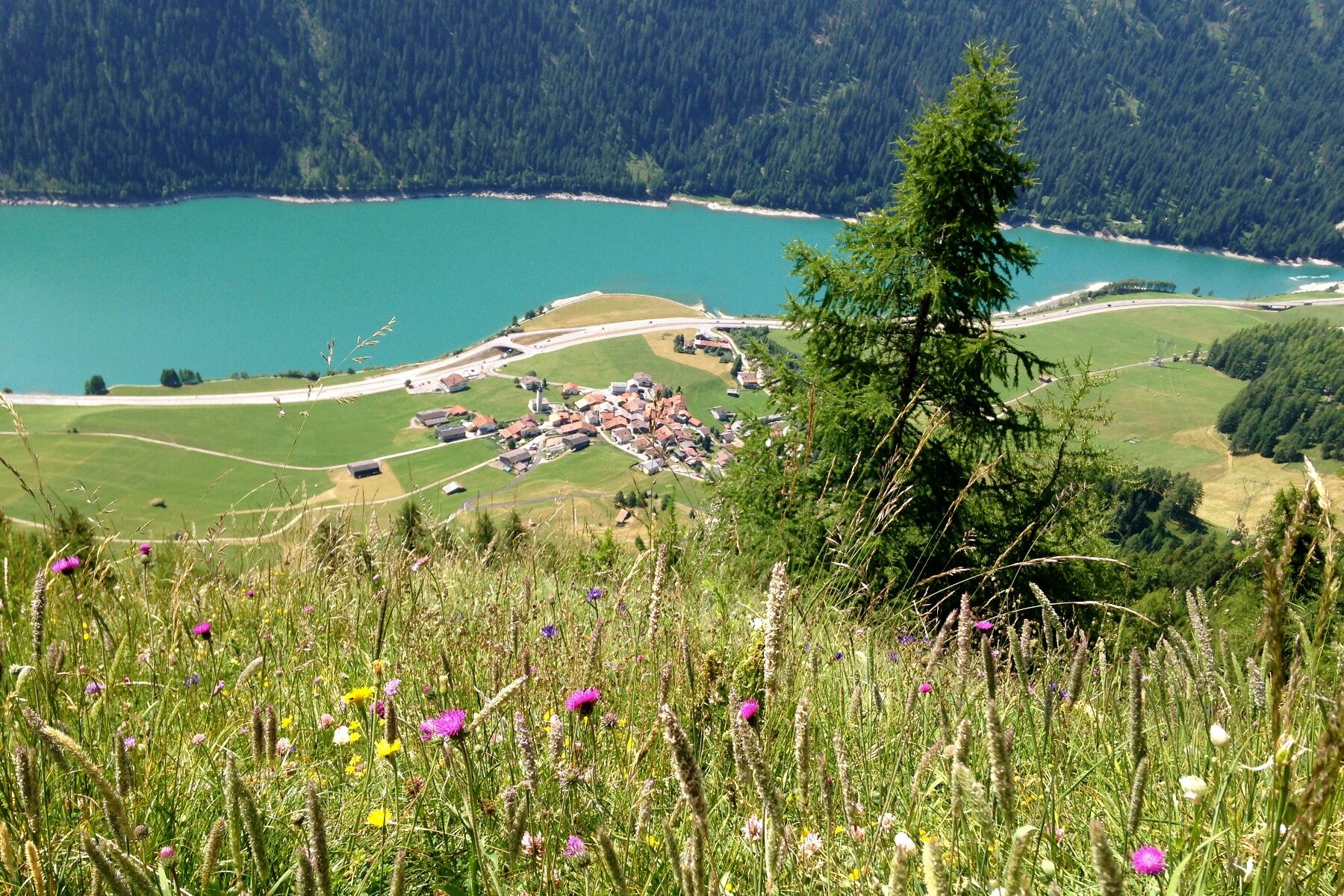
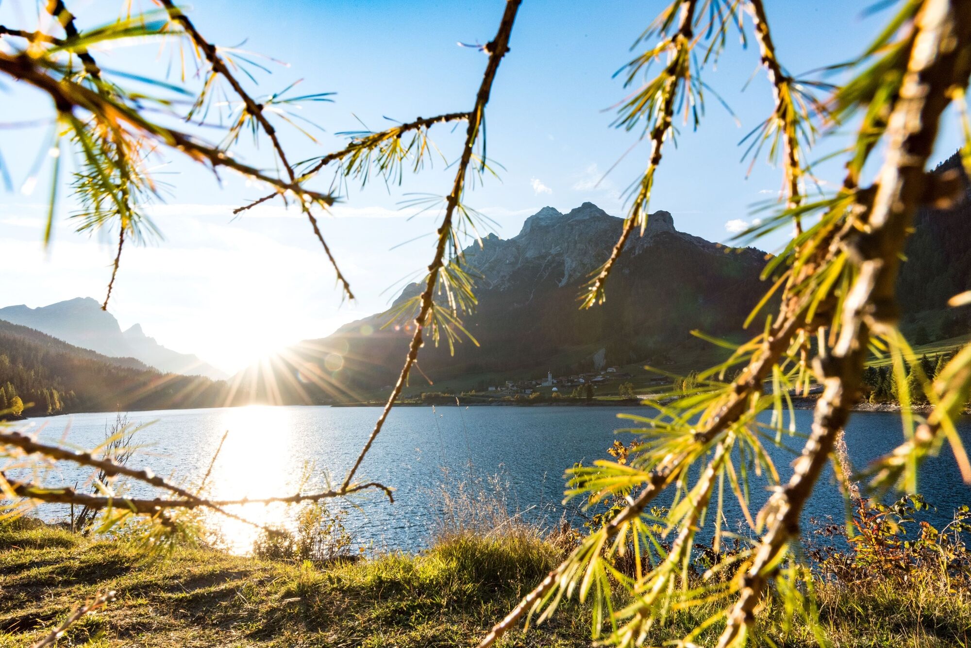
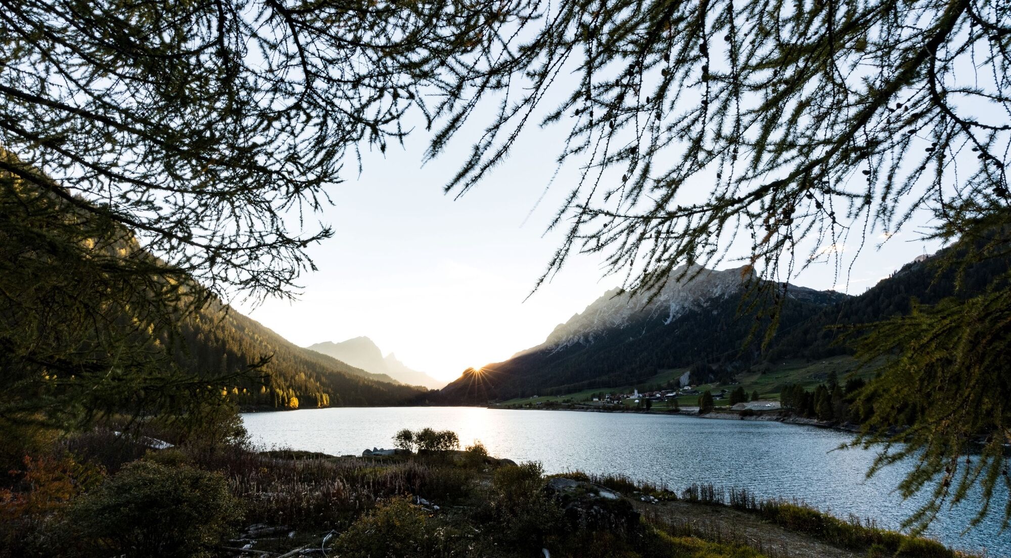
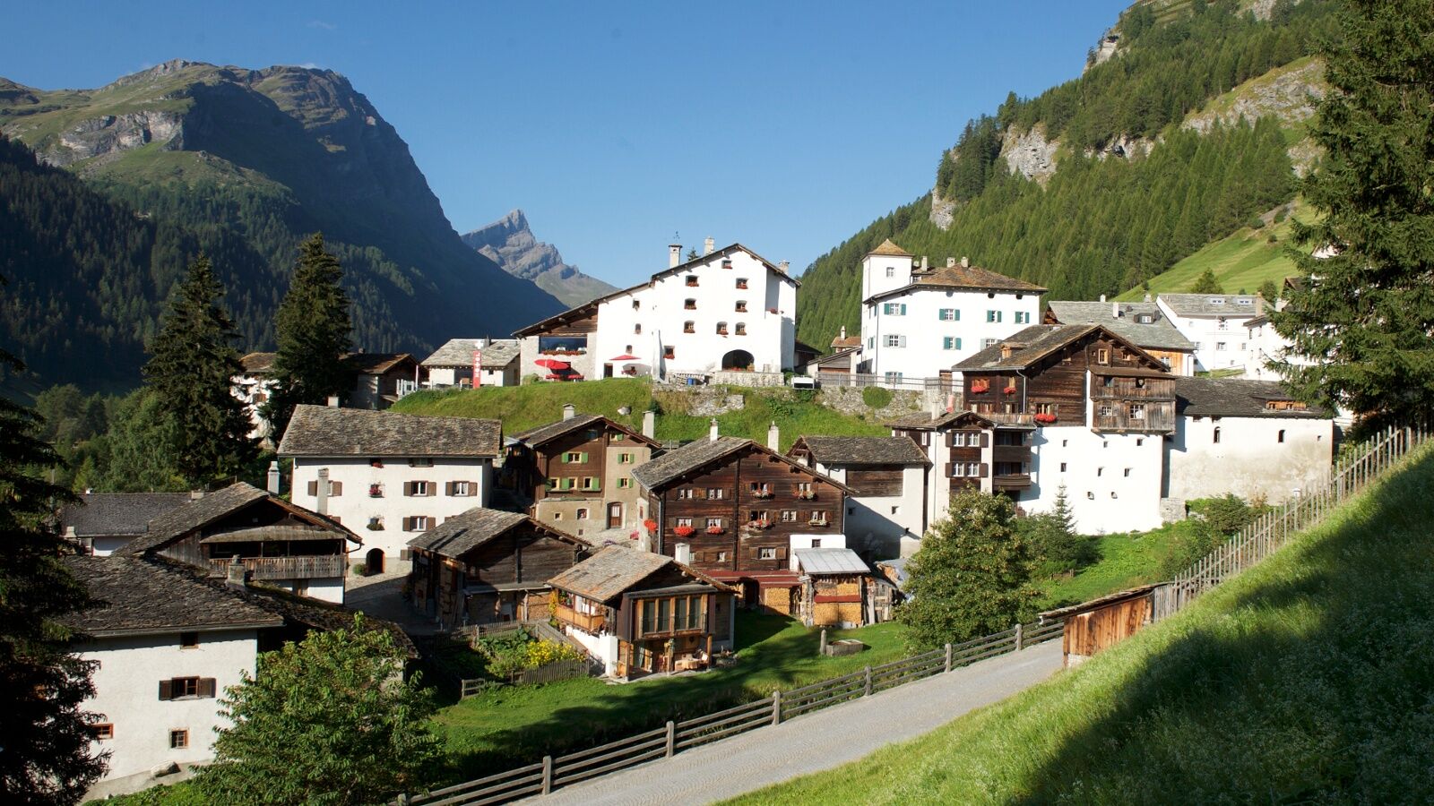
Diese leichte Wanderung beginnt beim Dorfplatz in Sufers im Naturpark Beverin.
- Difficulty
-
medium
- Rating
-
- Route
-
Sufers (1,430 m)Steina8.8 kmRustico9.2 kmSusten9.2 kmSplügen (1,457 m)9.3 km
- Best season
-
JanFebMarAprMayJunJulAugSepOctNovDec
- Highest point
- 1,650 m
- Endpoint
-
Splügen, Dorf
- Height profile
-
 © outdooractive.com

- Author
-
The tour Sufner See is used by outdooractive.com provided.
GPS Downloads


General info
Refreshment stop
Other tours in the regions
-
Viamala
790
-
Splügen / Rheinwald
102