© Intersoc Belgium - Lieselot Dequidt

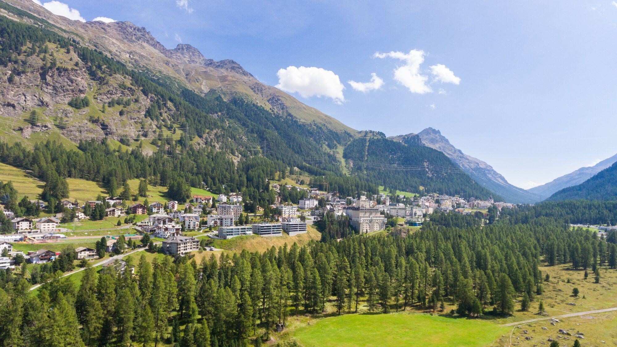
© Intersoc Belgium - Anne Eeckhout

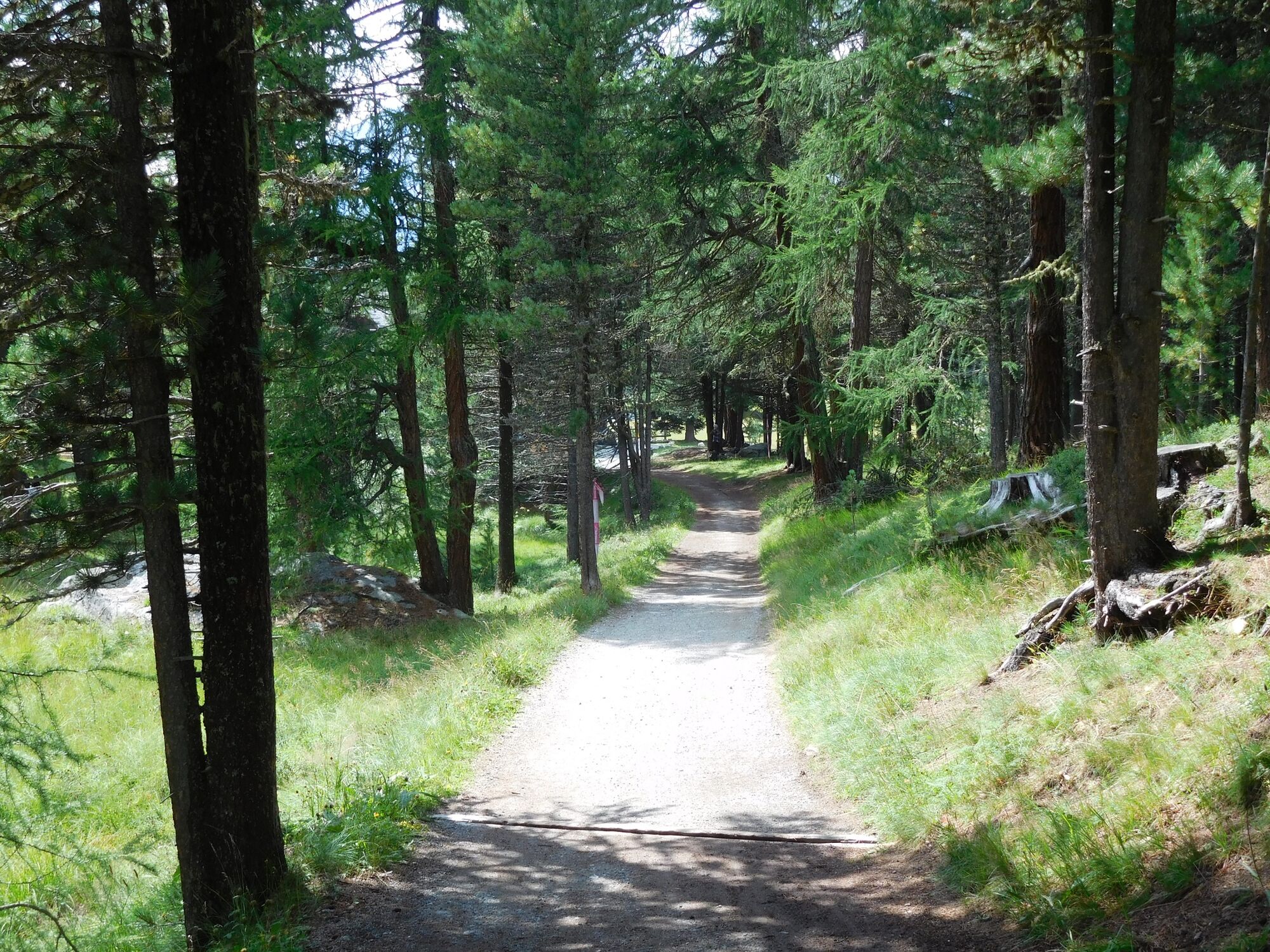
© Intersoc Belgium - Anne Eeckhout

© Intersoc Belgium - Anne Eeckhout

© Intersoc Belgium - Anne Eeckhout

© Intersoc Belgium - Anne Eeckhout

© Intersoc Belgium - Anne Eeckhout

- Brief description
-
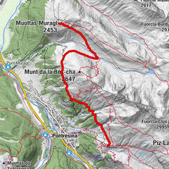
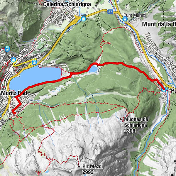
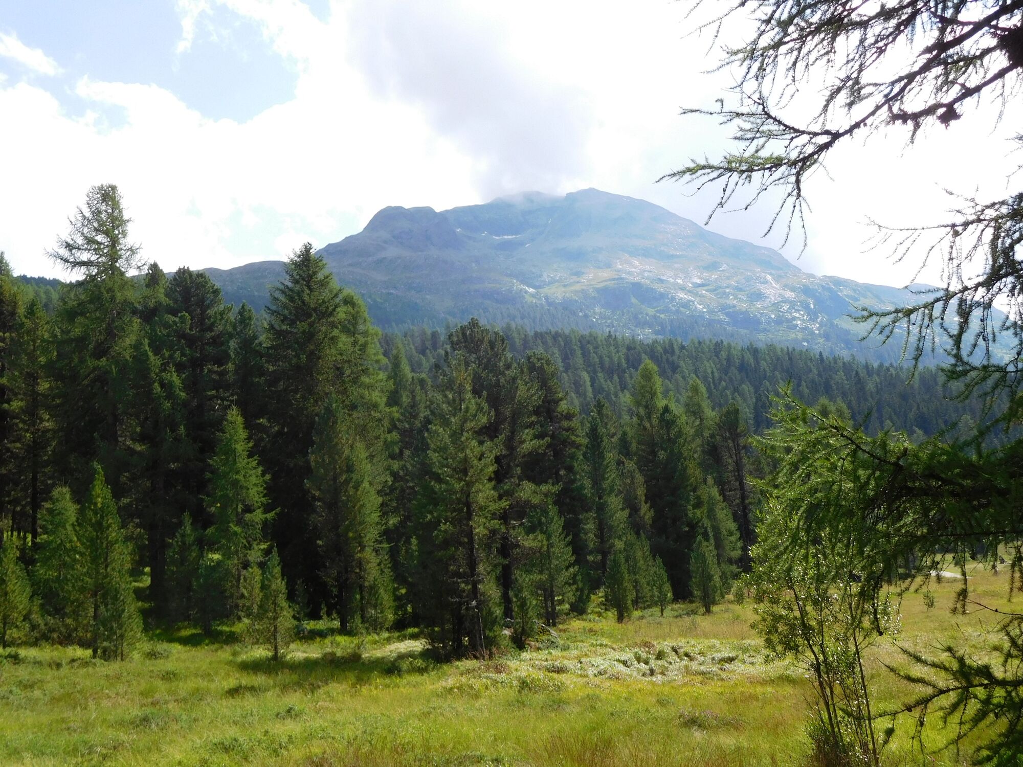
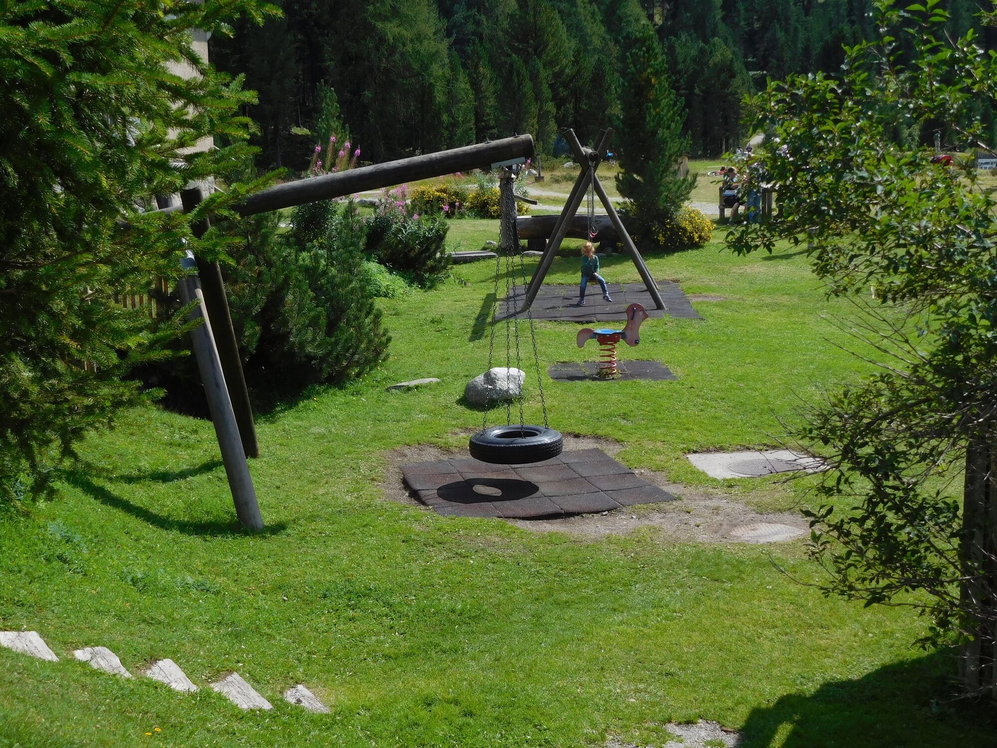
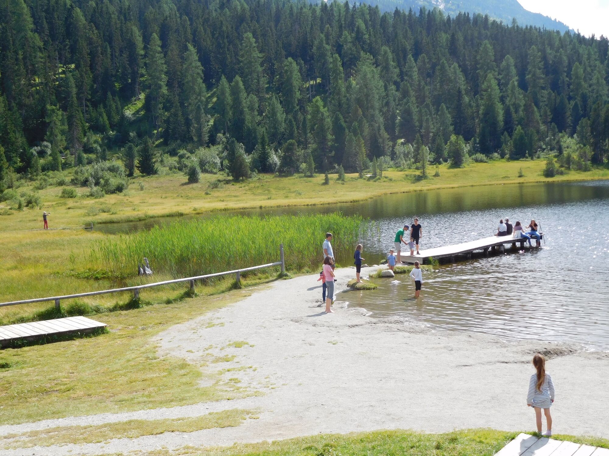
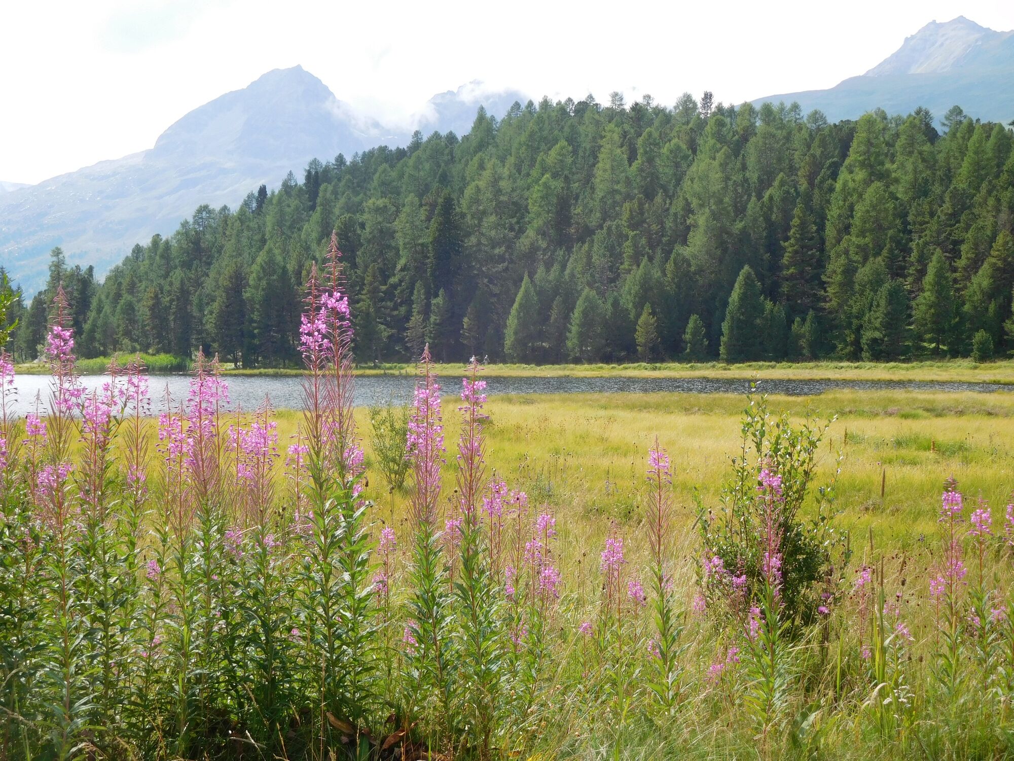
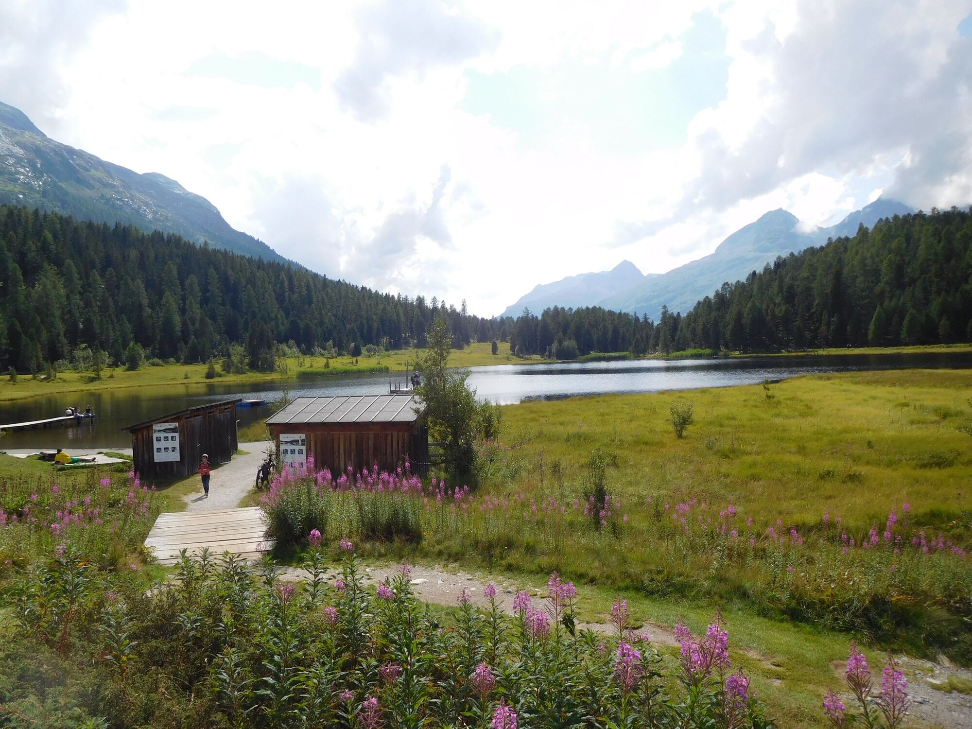
Pontresina - St. Moritz
- Difficulty
-
easy
- Rating
-
- Route
-
Pontresina (1,774 m)Hotel Restaurant Stazersee2.3 kmLandgasthof Meierei3.3 kmSankt Moritz (1,822 m)4.6 km
- Best season
-
JanFebMarAprMayJunJulAugSepOctNovDec
- Highest point
- 1,837 m
- Endpoint
-
Sankt Moritz
- Height profile
-
 © outdooractive.com
-

-
AuthorThe tour STM-HDW - Pontresina - St. Moritz is used by outdooractive.com provided.
GPS Downloads


Other tours in the regions