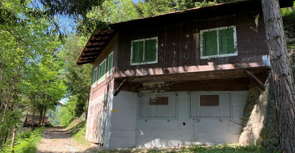
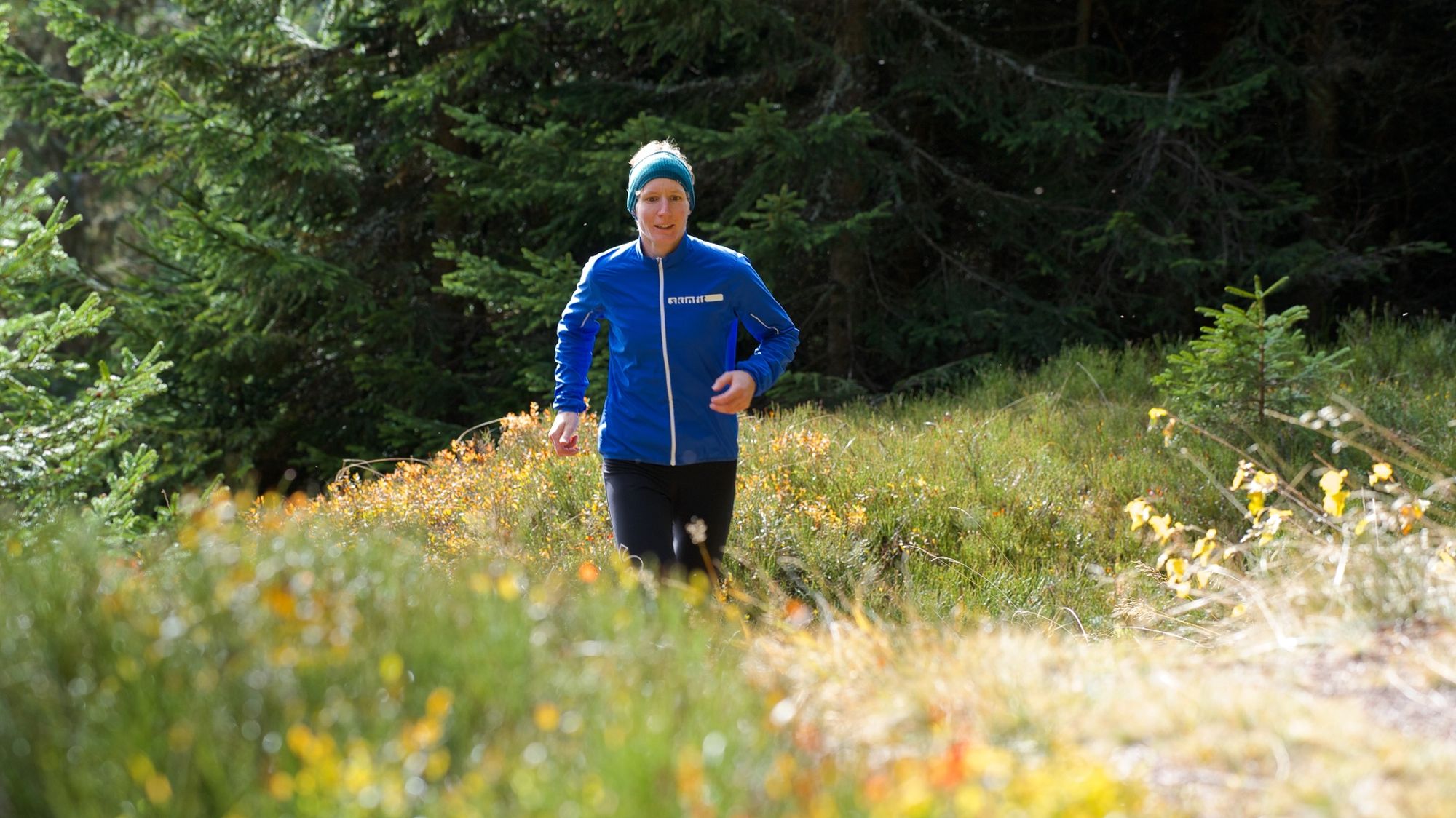
© Stefan Schwenke
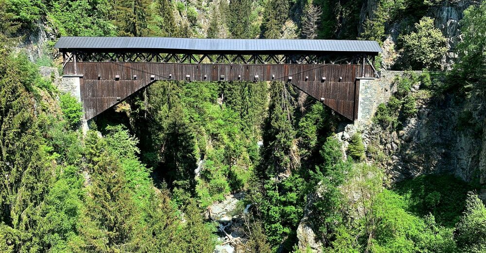
© Sedrun Disentis Tourismus - Stefan Schwenke
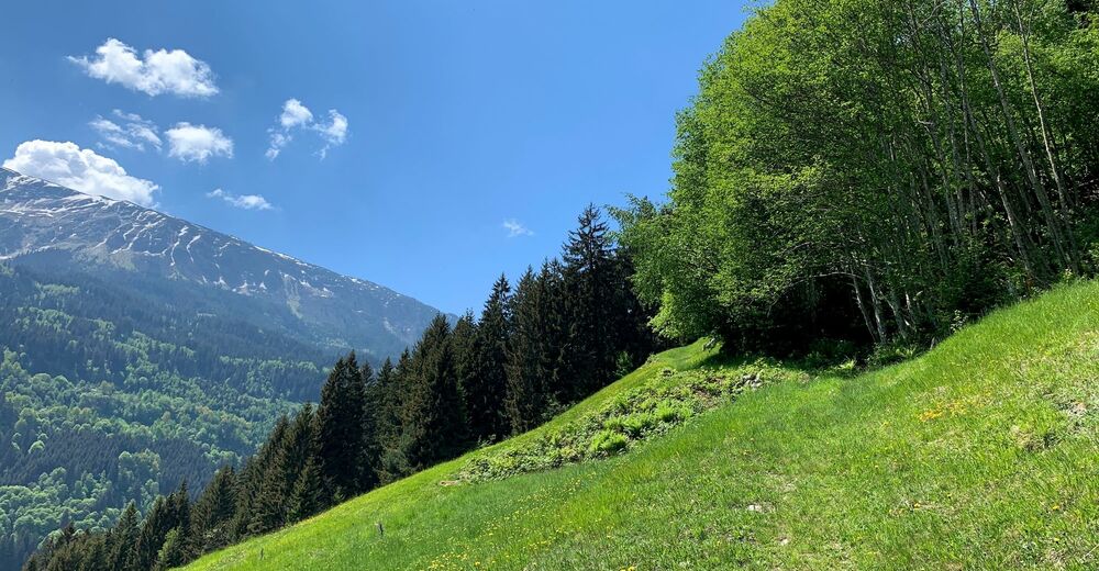
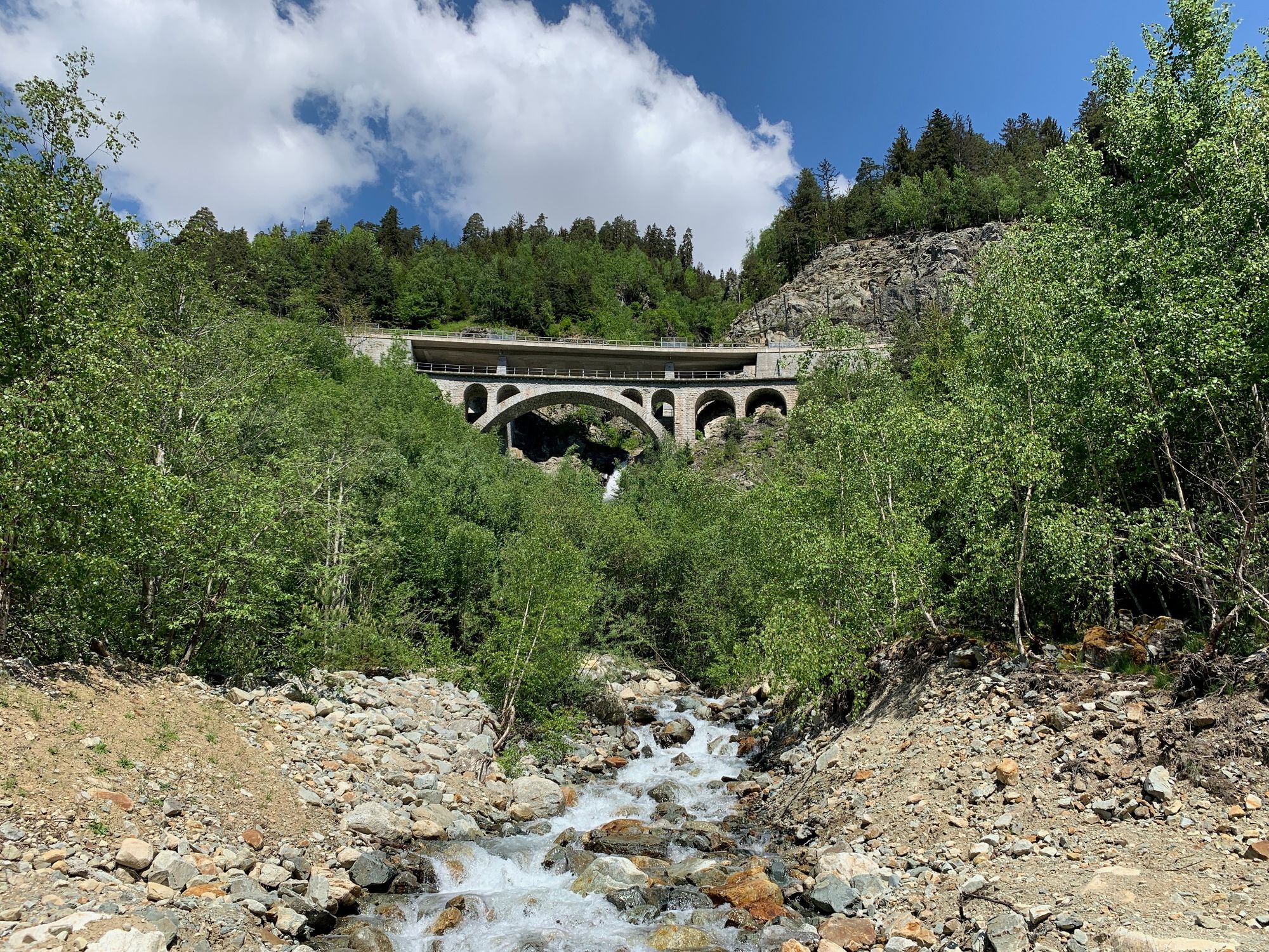
© Sedrun Disentis Tourismus - Stefan Schwenke
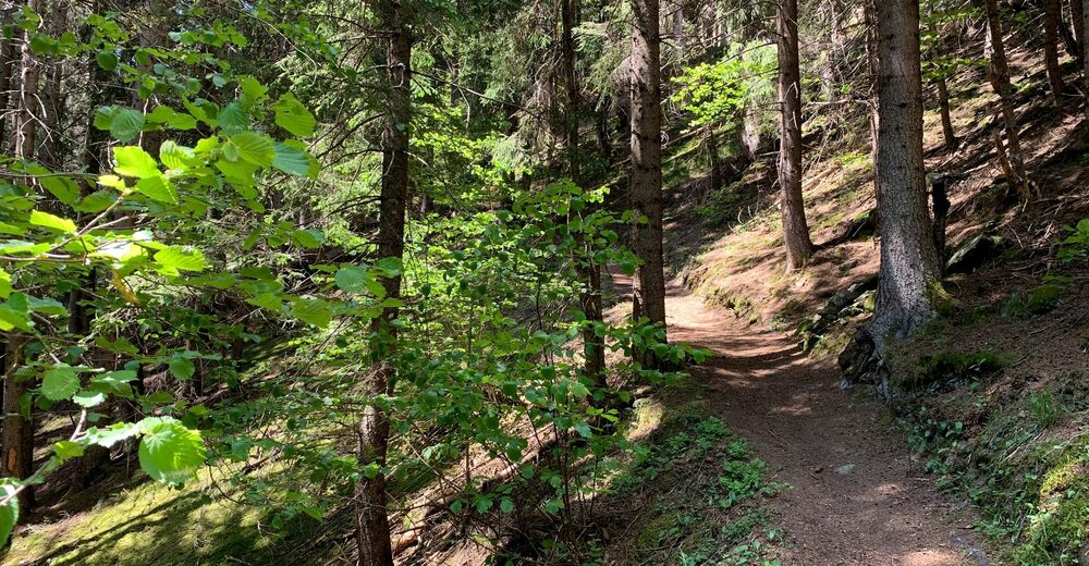
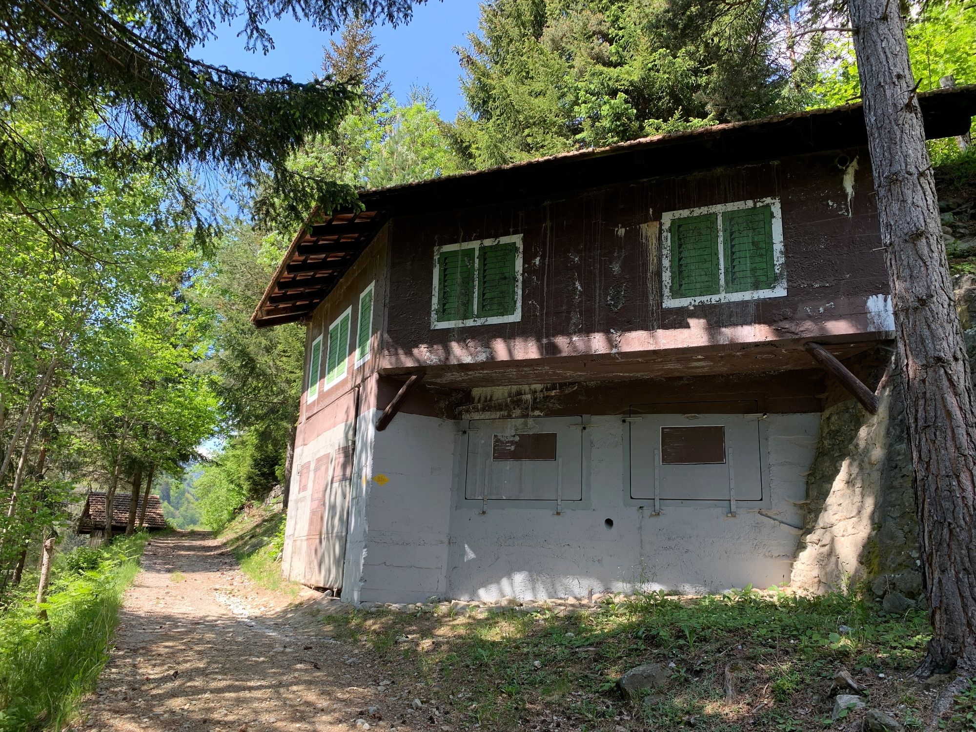
© Sedrun Disentis Tourismus - Stefan Schwenke
© Sedrun Disentis Tourismus - Stefan Schwenke
© Sedrun Disentis Tourismus - Stefan Schwenke
© Sedrun Disentis Tourismus - Stefan Schwenke
© Sedrun Disentis Tourismus - Stefan Schwenke
© Sedrun Disentis Tourismus - Stefan Schwenke
© Sedrun Disentis Tourismus - Stefan Schwenke
- Brief description
-
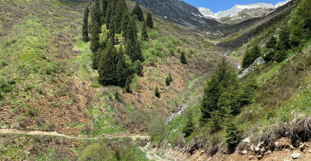
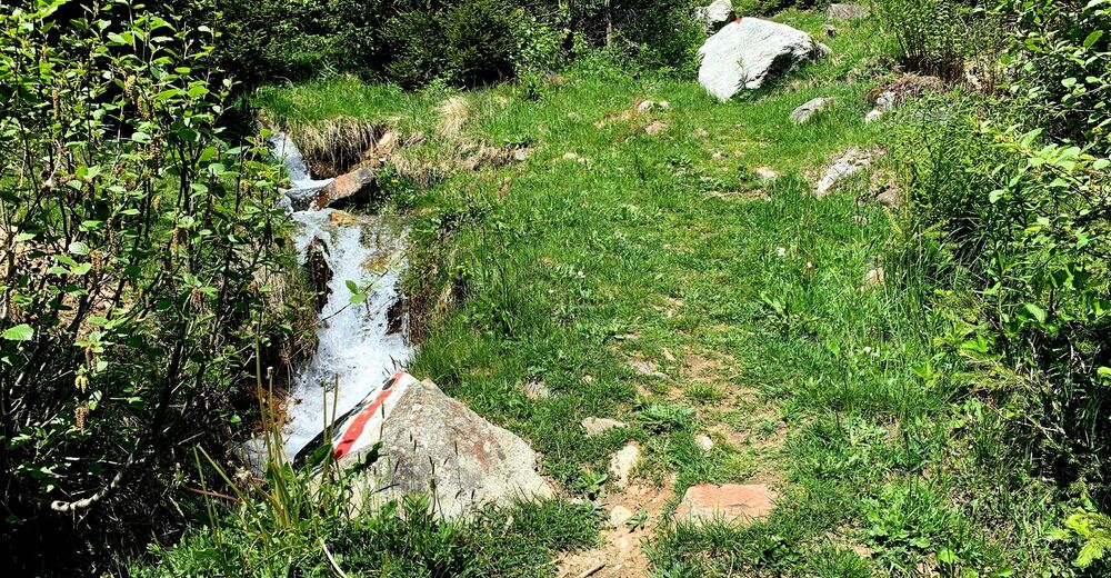
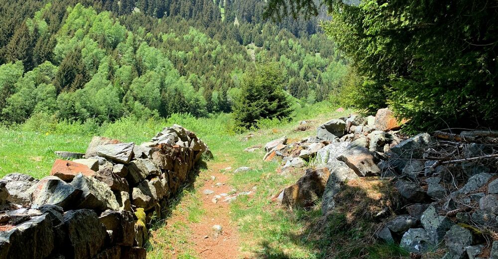
Auf vergessenen Wegen zum Munt Sut
- Difficulty
-
medium
- Rating
-
- Route
-
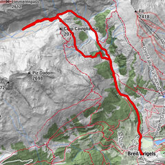
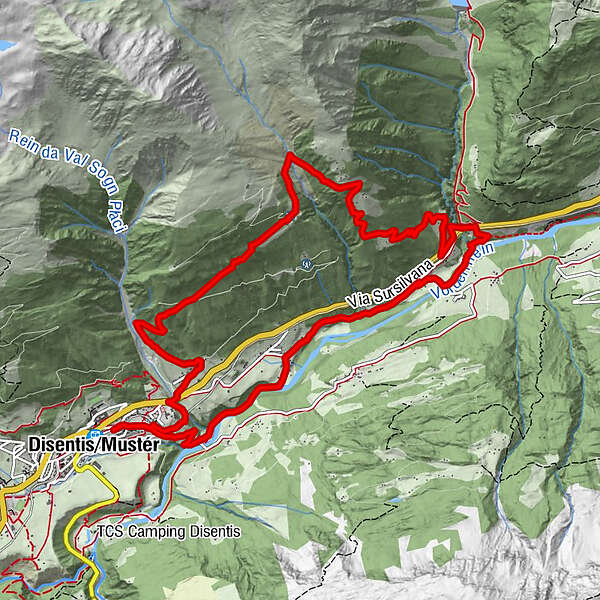
DisentisPlaun da Haida0.8 kmPardieni1.8 kmPlaun Sut2.1 kmDisla2.3 kmCasarsa3.2 kmMadernal3.9 kmPardomat4.1 kmPlaun Madernal4.2 kmAcla dil Bigliel5.9 kmAcla da Madernal6.6 kmRunfoppa Su9.1 kmFaltscharidas12.0 kmSt. Placiduskirche12.4 kmDisentis13.3 km
- Best season
-
JanFebMarAprMayJunJulAugSepOctNovDec
- Highest point
- 1,672 m
- Endpoint
-
Disentis
- Height profile
-
 © outdooractive.com
- Author
-
The tour Lumpegna - Trail is used by outdooractive.com provided.
GPS Downloads


General info
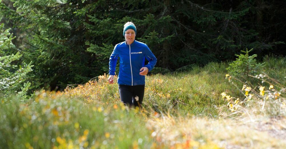
A lot of view
Other tours in the regions
-
Uri
42
-
Disentis Sedrun
22
-
Sumvitg - Rabius
11