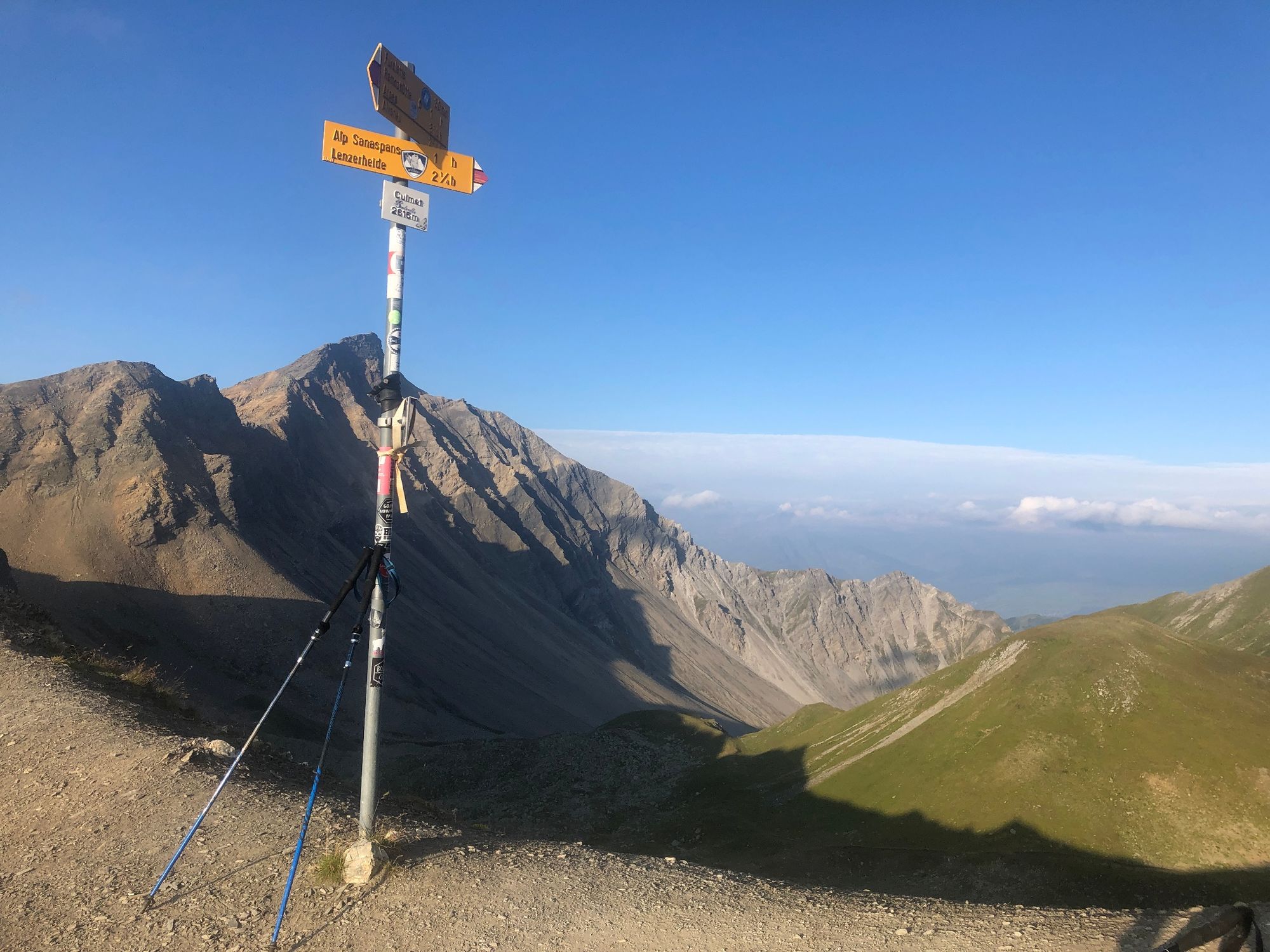
Sanaspans - Culmet - Ramoz - Erzhornsattel - Parpaner Rothorn

Trailrunning


- Brief description
-
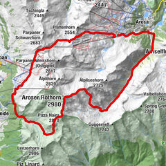
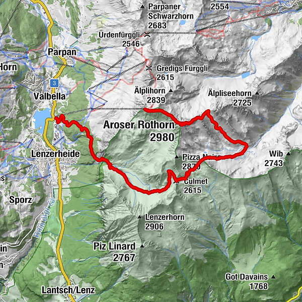
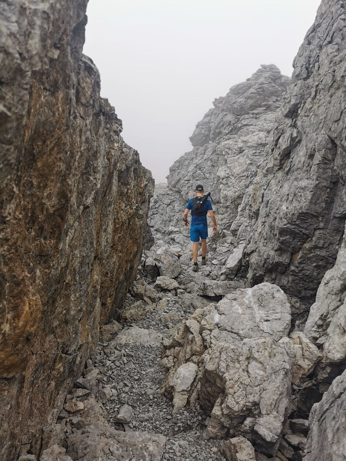
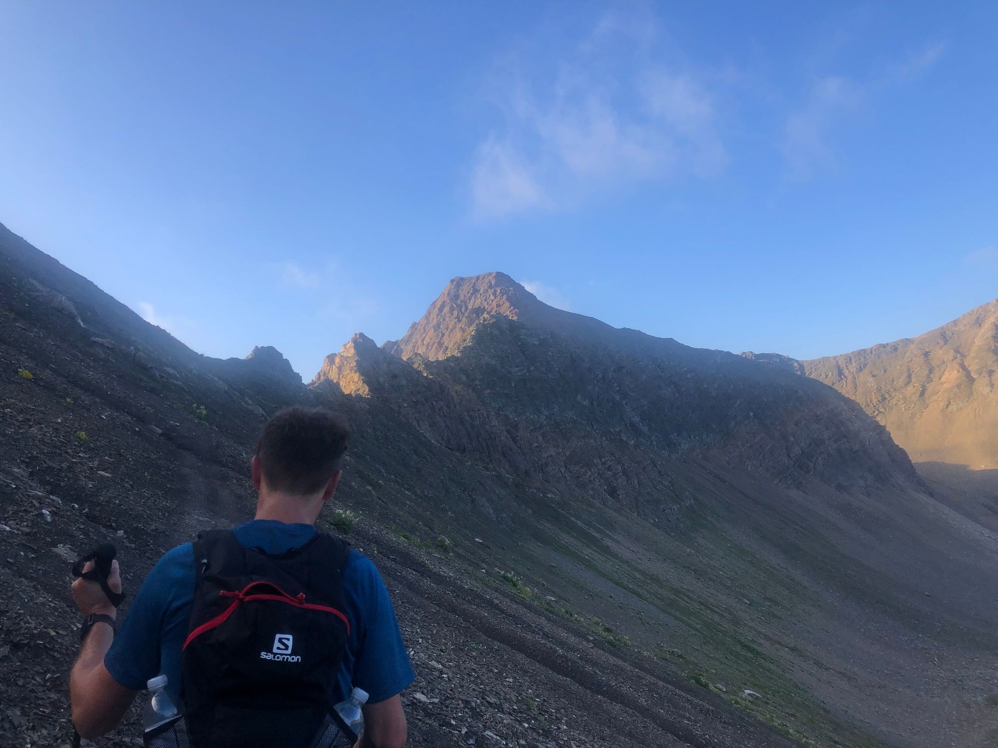
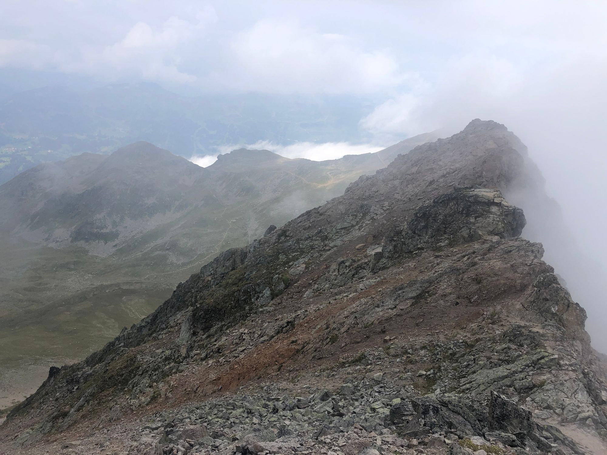
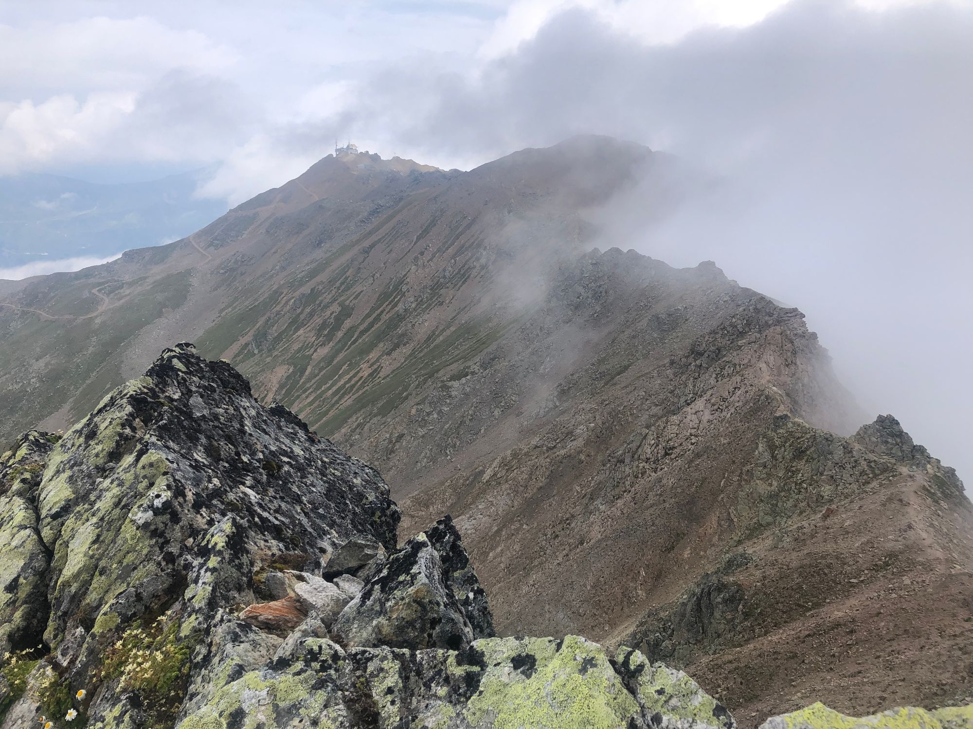
Die schöne Tour führt von der Talstation Rothorn über die Alp Sanaspans, Ramoz und den Erzhornsattel rauf aufs Parpaner Rothorn.
- Difficulty
-
difficult
- Rating
-
- Route
-
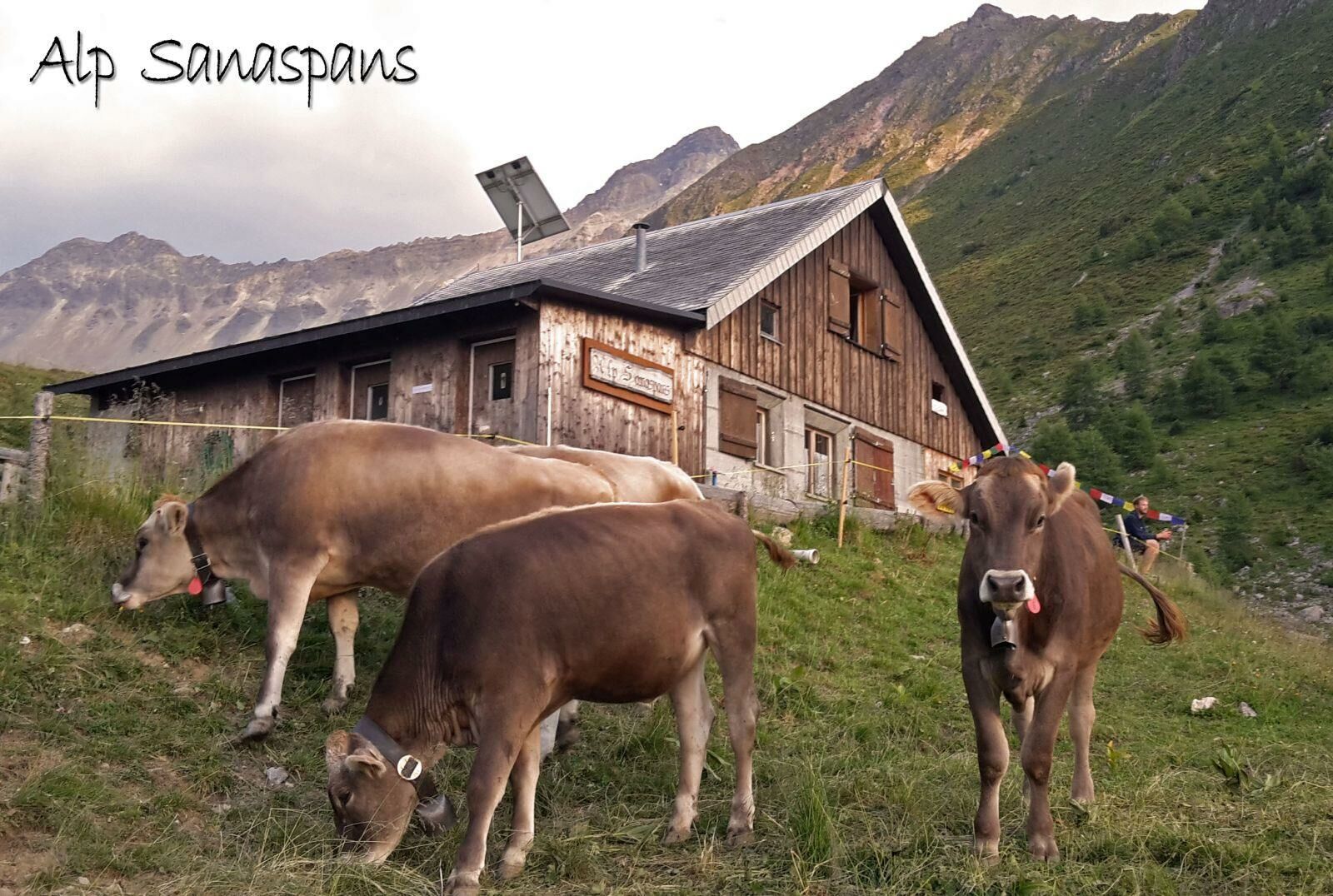
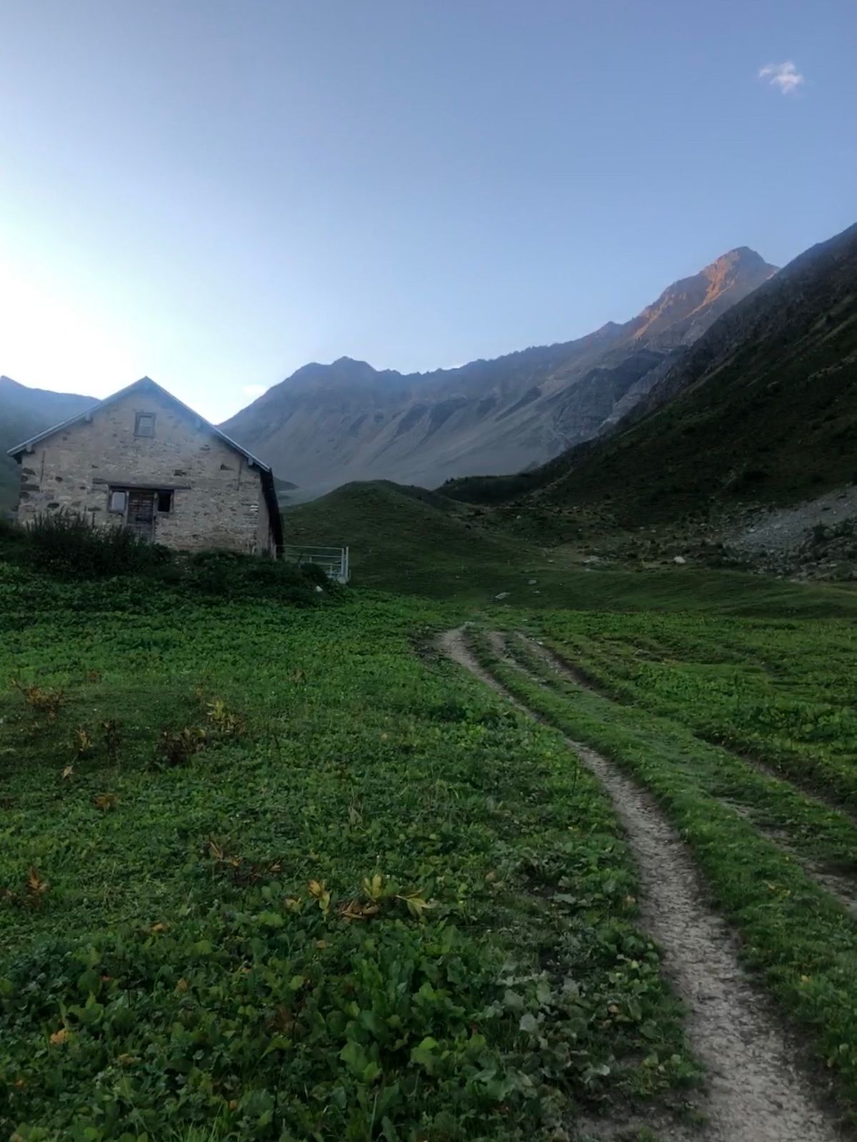
Alp Sanaspans4.2 kmCulmet (2,615 m)7.8 kmRamozhütte11.1 kmErzhornsattel13.4 kmAroser Rothorn (2,980 m)14.7 kmRestaurant am Parpaner Rothorn16.2 kmRothorn (2,857 m)16.2 kmParpaner Rothorn16.2 km
- Best season
-
JanFebMarAprMayJunJulAugSepOctNovDec
- Highest point
- 2,968 m
- Endpoint
-
Parpaner Rothorn
- Height profile
-
 © outdooractive.com


- Author
-
The tour Sanaspans - Culmet - Ramoz - Erzhornsattel - Parpaner Rothorn is used by outdooractive.com provided.
GPS Downloads


General info
Refreshment stop
A lot of view
Other tours in the regions