© Engadin Tourismus AG - Sils Tourismus
© Engadin Tourismus AG - Sils Tourismus


- Brief description
-
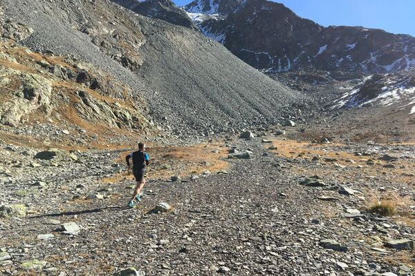
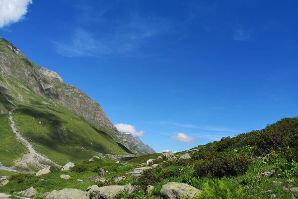
Trail running into a not very well known side valley.
- Difficulty
-
easy
- Rating
-
- Starting point
-
Maloja post office
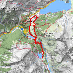
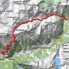
- Route
-
Maloja PostaMaloja (1,809 m)0.0 kmPlan dal Palace0.3 kmCresta0.6 kmLa Motta0.6 kmPlan Cuncheta1.4 kmCa d'Starnam4.5 kmPetpreir12.4 kmIsola (1,811 m)14.4 kmIsola (See) (1,810 m)15.2 kmPlan Cuncheta17.0 kmCresta17.8 kmLa Motta17.9 kmPlan dal Palace18.1 kmMaloja (1,809 m)18.4 kmMaloja Posta18.4 km
- Best season
-
JanFebMarAprMayJunJulAugSepOctNovDec
- Description
-
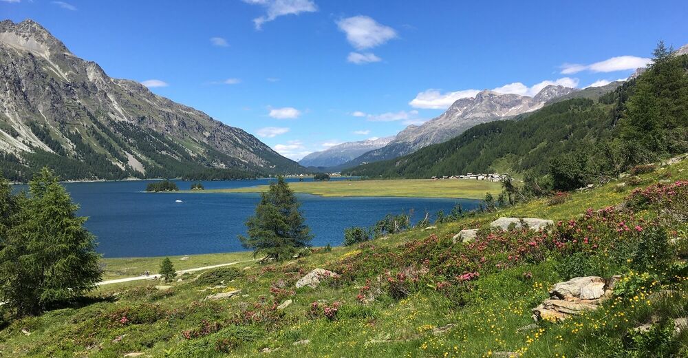
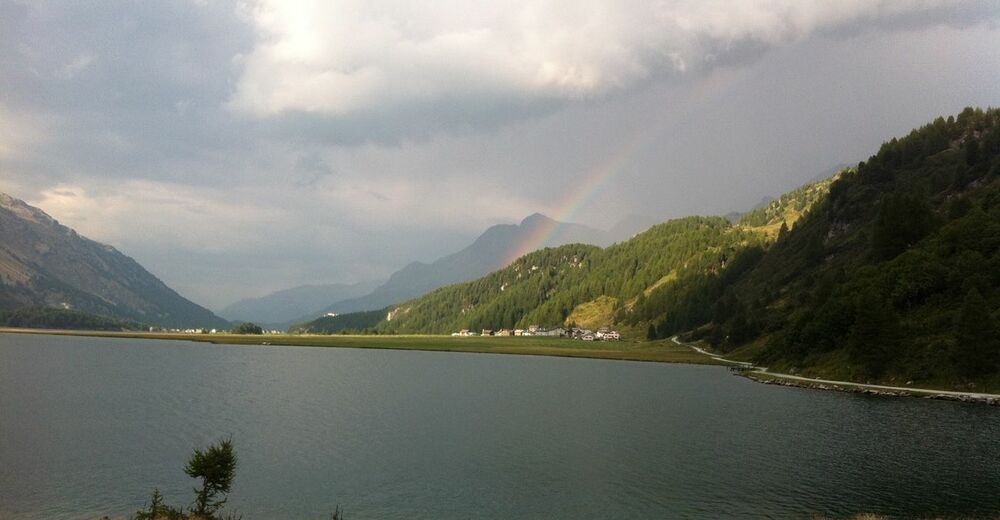
The tour starts at the post office in Maloja. First follow the footway and road to the Lake of Sils and then on a beautiful hiking trail along the lake towards Isola. Just before the plain of Isola, turn right up to the Alp Ca d' Starnam. Follow the trail into Val Fedoz until the turning point at Motta Salatschina. Over the bridge and on the other side of the river you run the valley out again. Past Alp Petpreier towards Sils, before the trail turns left down to Isola. Now along the Lake of Sils back to Maloja.
More information
Engadin Tourismus AG
Via Maistra 1
CH-7500 St. Moritz
Phone: +41 81 830 00 01
E-mail: allegra@engadin.ch
Internet: www.engadin.ch - Directions
-
Maloja - Ca d' Starnam - Motta Salatschina - Petpreir - Isola - Maloja
- Highest point
- 2,108 m
- Endpoint
-
Maloja post office
- Height profile
-
 © outdooractive.com
 - Tips
-
If you have tired legs in Isola, you can take the ship back to Maloja.


- Author
-
The tour Val Fedoz is used by outdooractive.com provided.
GPS Downloads


General info
Refreshment stop
A lot of view
Other tours in the regions
-
Veltlin / Valtellina
76
-
Engadin St. Moritz
104
-
Isola
45