- Brief description
-
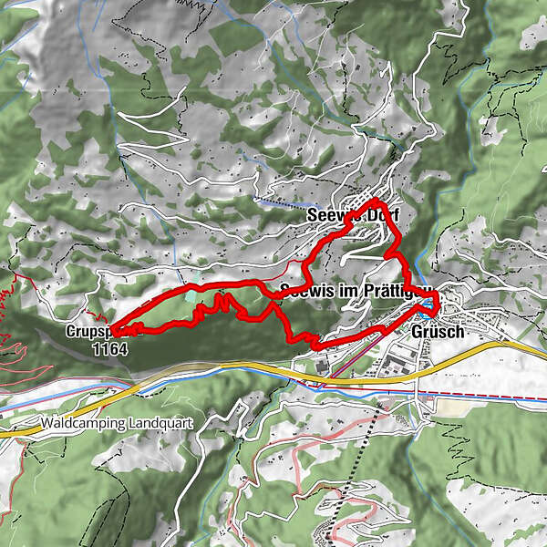
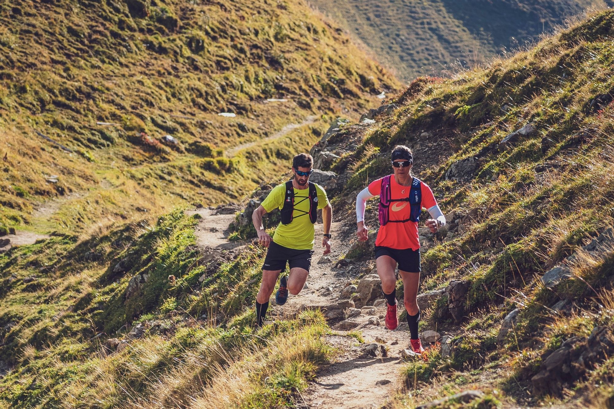
Kurzer, aber knackiger Trailrun im vorderen Prättigau.
- Difficulty
-
easy
- Rating
-
- Route
-
Grüsch (630 m)Seewis im Prättigau0.7 kmSignalhöhe (1,106 m)4.1 kmCrupspitz (1,164 m)4.7 kmMannas6.0 kmSeewis im Prättigau7.5 kmSchlossbündti8.4 kmSeewis Dorf8.5 kmMotta8.7 kmRuofna8.7 kmValjugas8.7 kmRestaurant Chesa Plana8.7 kmRestaurant Schlössli8.8 kmSaljannas8.9 kmReformierte Kirche9.0 kmRätitsch9.3 kmGrüsch (630 m)10.8 km
- Best season
-
JanFebMarAprMayJunJulAugSepOctNovDec
- Highest point
- 1,150 m
- Endpoint
-
Bahnhof Grüsch
- Height profile
-
 © outdooractive.com
- Author
-
The tour Crupspitz Trail is used by outdooractive.com provided.
GPS Downloads


General info
A lot of view
Other tours in the regions
-
Heidiland
104
-
Bündner Herrschaft
91
-
Seewis
12