


- Brief description
-
Diversion in Val Roseg!
The Bernina-Tour offers wonderful views of the glaciers in the Bernina mountain range. The route leads from the Val Poschiavo to the Bernina Pass, over the Diavolezza and down to Pontresina, and then up to the Fuorcla Surlej, with views over the Engadin’s lake-strewn landscape as far as Maloja.
Due to a trail closure between Sils Baselgia and Plaun da Lej, the tour is diverted via Isola.
- Difficulty
-
difficult
- Rating
-
- Starting point
-
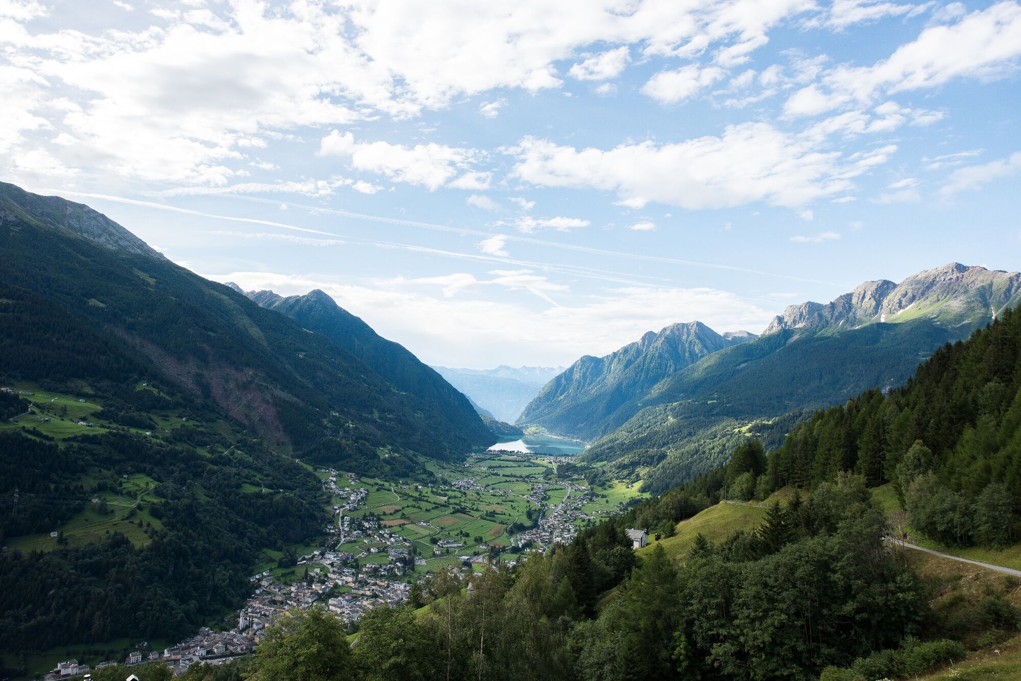
Poschiavo
- Route
-
Puschlav (1,014 m)Poschiavo (1,014 m)0.3 kmCadera3.5 kmStazione Cavaglia6.2 kmCavaglia (1,692 m)6.2 kmBuffet Diego6.2 kmCavaglia6.6 kmAlp Grüm (2,091 m)9.5 kmAlbergo Ristorante Stazione Alp Grüm9.5 kmBelvedere9.9 kmAlp Grüm9.9 kmOspizio Bernina (2,253 m)14.5 kmBahnhofbuffet Ospizio Bernina14.6 kmDiavolezzafirn (Bergstation)22.6 kmDiavolezza (2,958 m)22.9 kmBerghaus Diavolezza (2,976 m)23.1 kmLanguard (2,326 m)39.5 kmAlp Languard39.5 kmLanguard40.0 kmPontresina (1,805 m)42.4 kmSan Niculò42.7 kmFuorcla Surlej54.0 kmMurtèl56.2 kmAlp Prasüra62.6 kmCrastas Dadains63.3 kmCrastas63.5 kmCrastas Dadour63.6 kmChrist-König-Kirche63.6 kmReformierte Kirche63.9 kmSils im Engadin (1,803 m)64.1 kmAlpenrose64.1 kmSpuonda Laret64.1 kmPizs64.1 kmSuot Crastas64.1 kmSils/Segl Maria Barchiröls (1,802 m)65.0 kmIls Barchiröls65.1 kmIsola (1,811 m)66.7 kmIsola (See) (1,810 m)67.4 kmPlan Cuncheta69.3 kmCresta70.0 kmLa Motta70.3 kmKirche St. Peter und Paul70.7 kmMaloja (1,809 m)70.8 kmSchweizerhaus70.8 kmMaloja Posta70.9 km
- Best season
-
JanFebMarAprMayJunJulAugSepOctNovDec
- Description
-
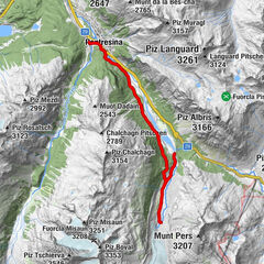
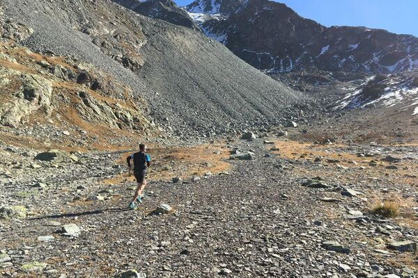
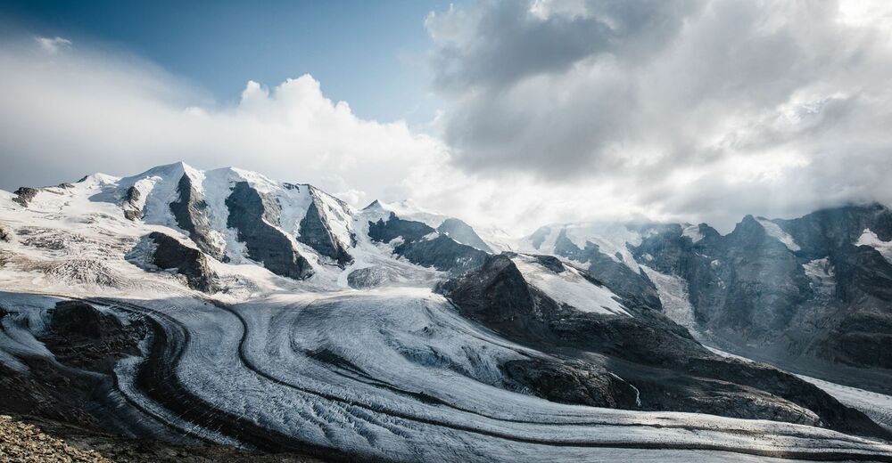
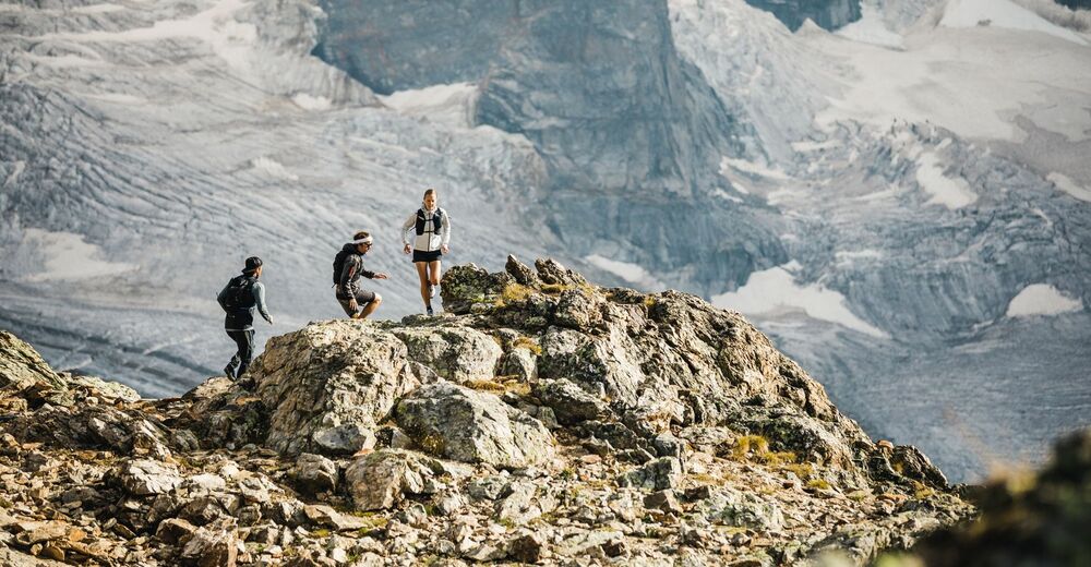
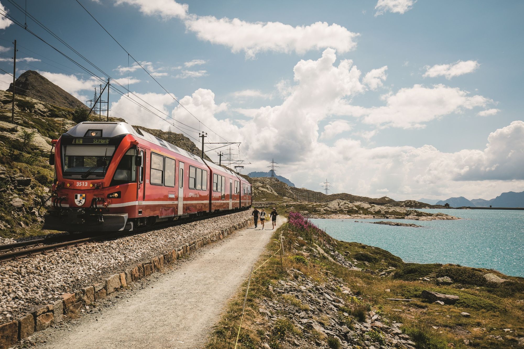
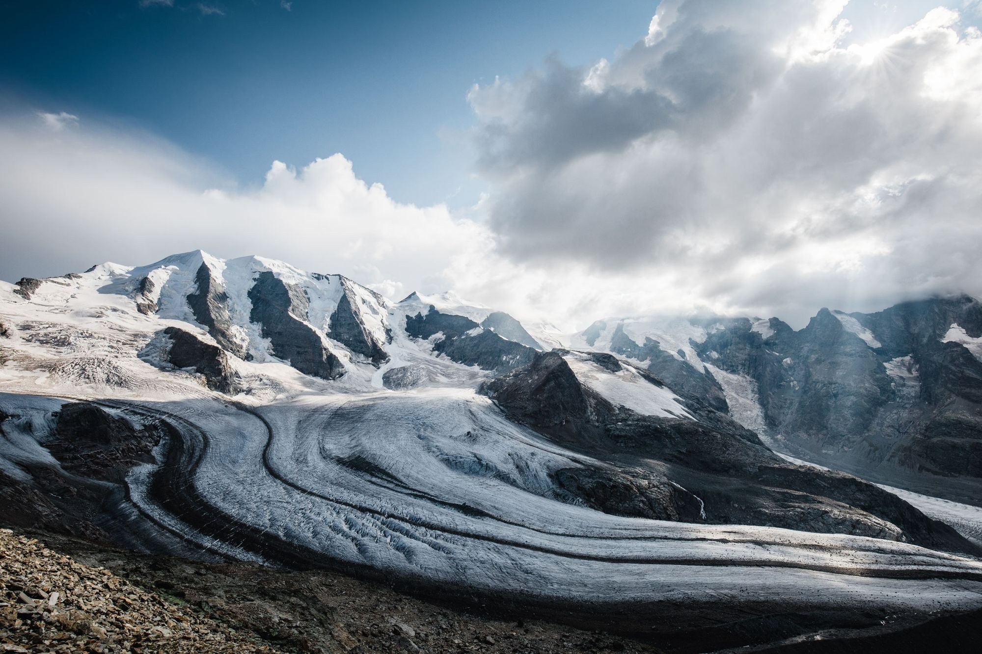
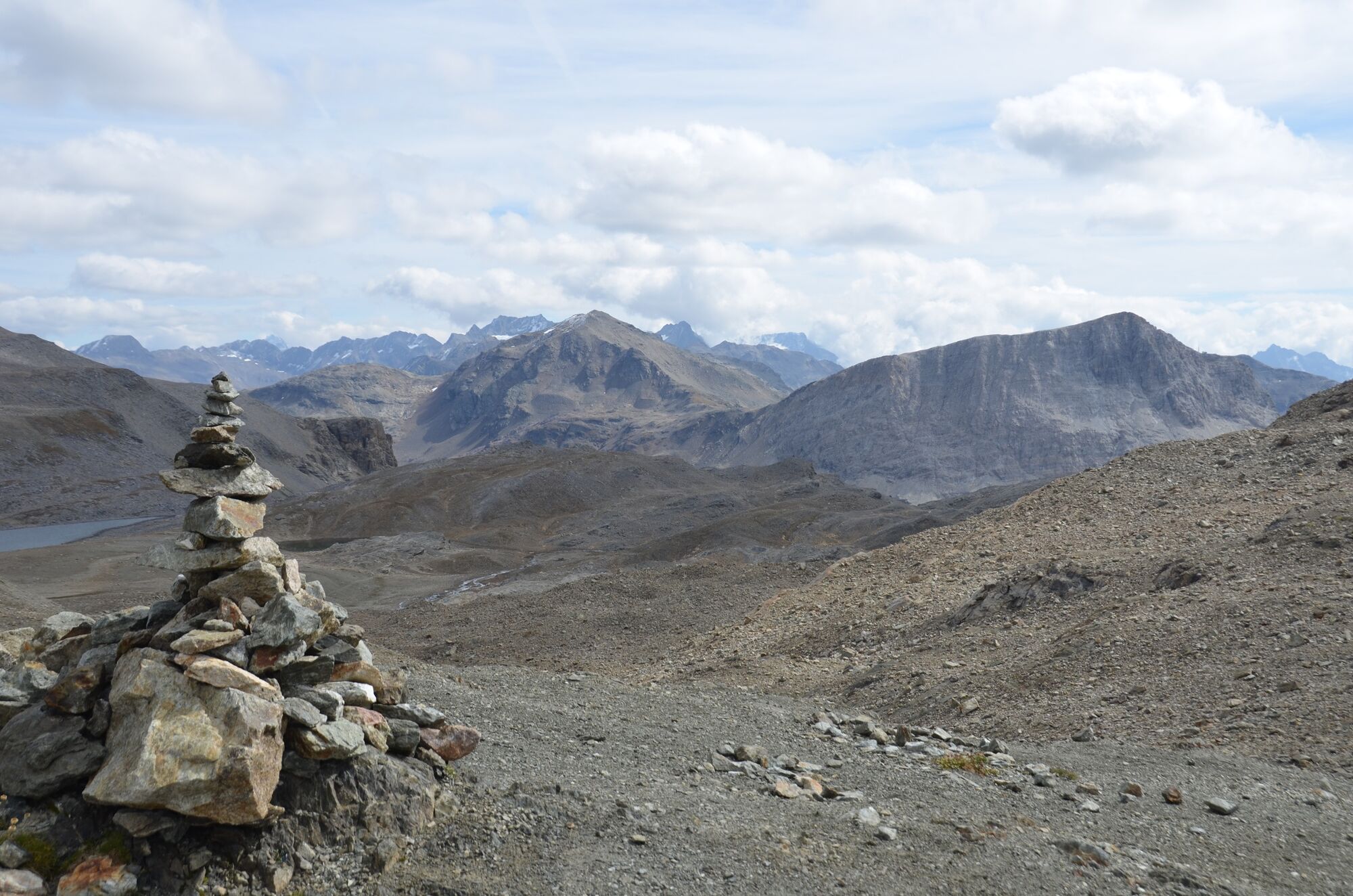
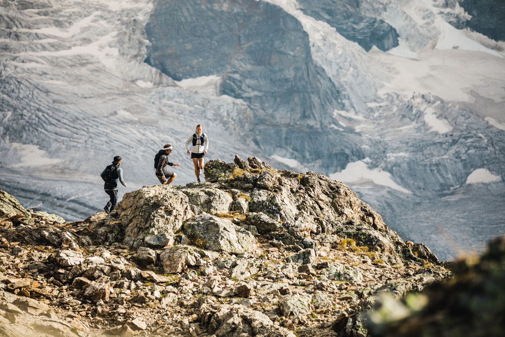
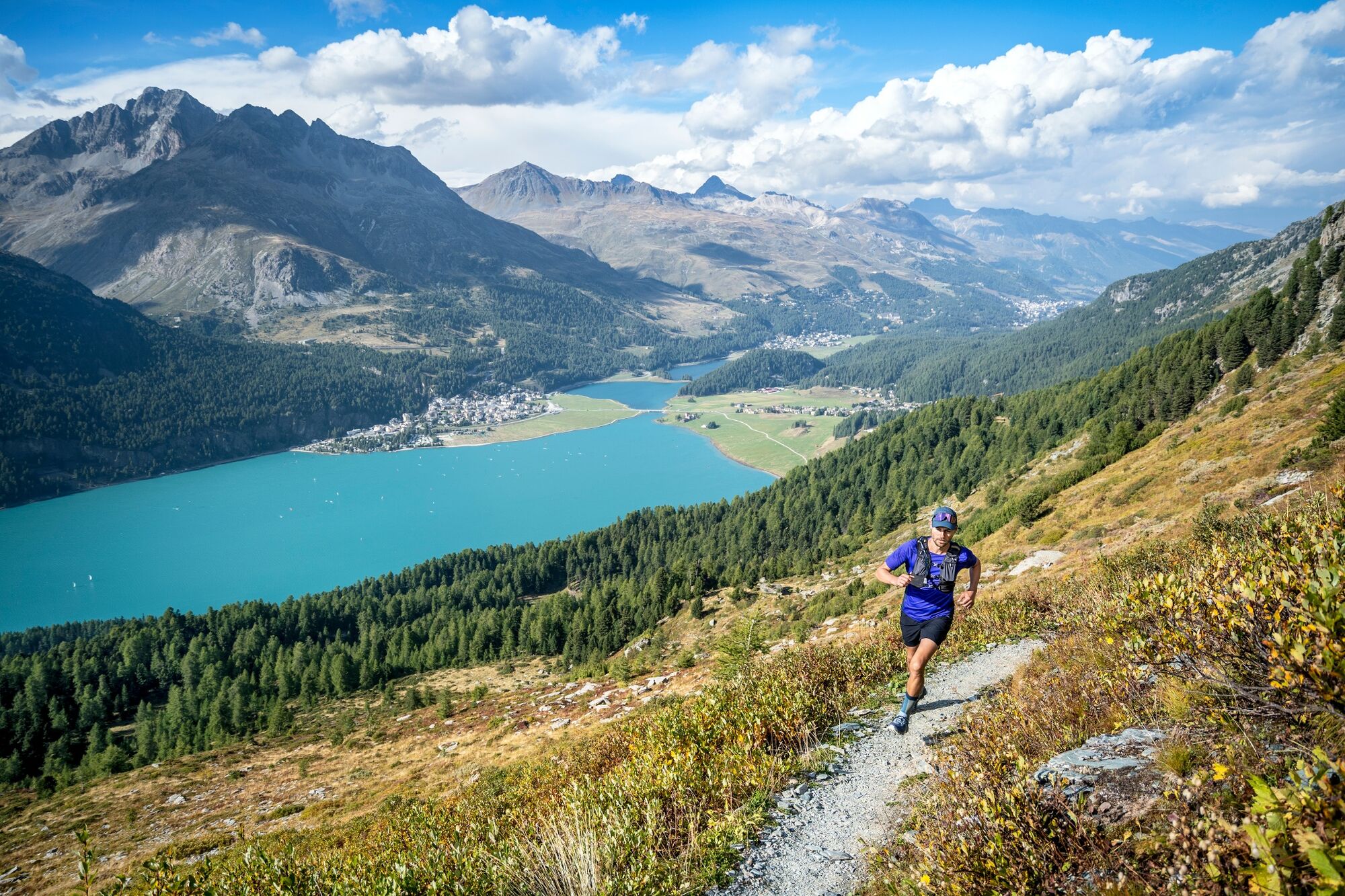
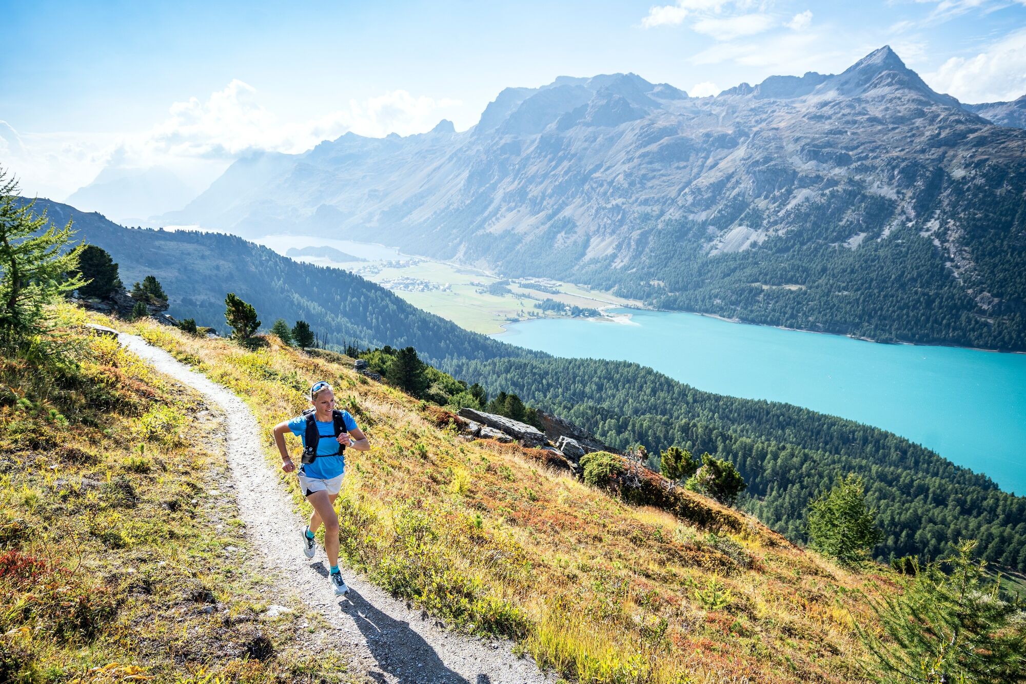
By starting at the Bernina Pass, runners have the opportunity to loosen up their muscles on the easy stretch along the Lago Bianco before tackling the 1,000 vertical metres up to the Munt Pers, at 3,207 metres above sea level. From here, you can enjoy a breathtaking view of the Pers and Morteratsch glaciers. Back at the summit station of the Diavolezza aerial cableway, the trail leads past the Lej da Diavolezza lake and down to the valley station. After crossing the main road, the steep ascent to the Fuorcla Pischa at 2,835 metres begins.
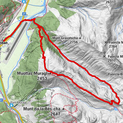
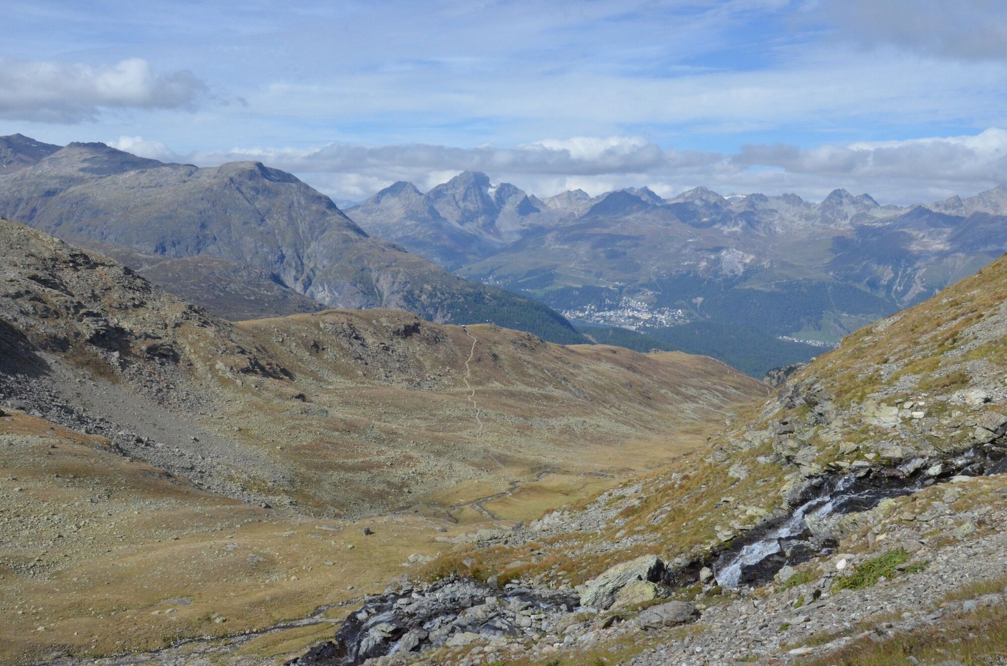
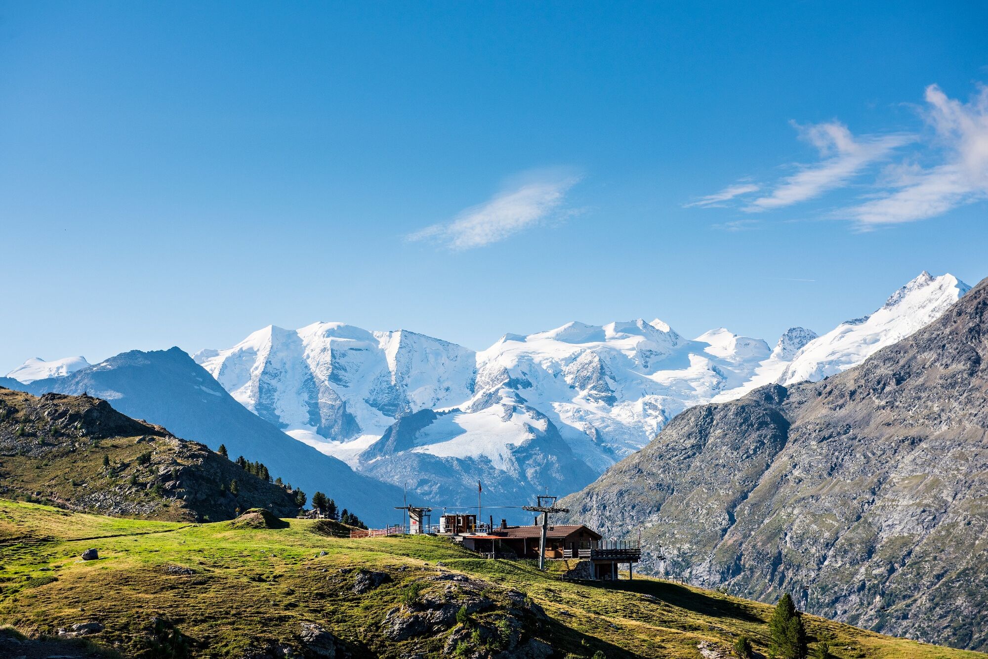
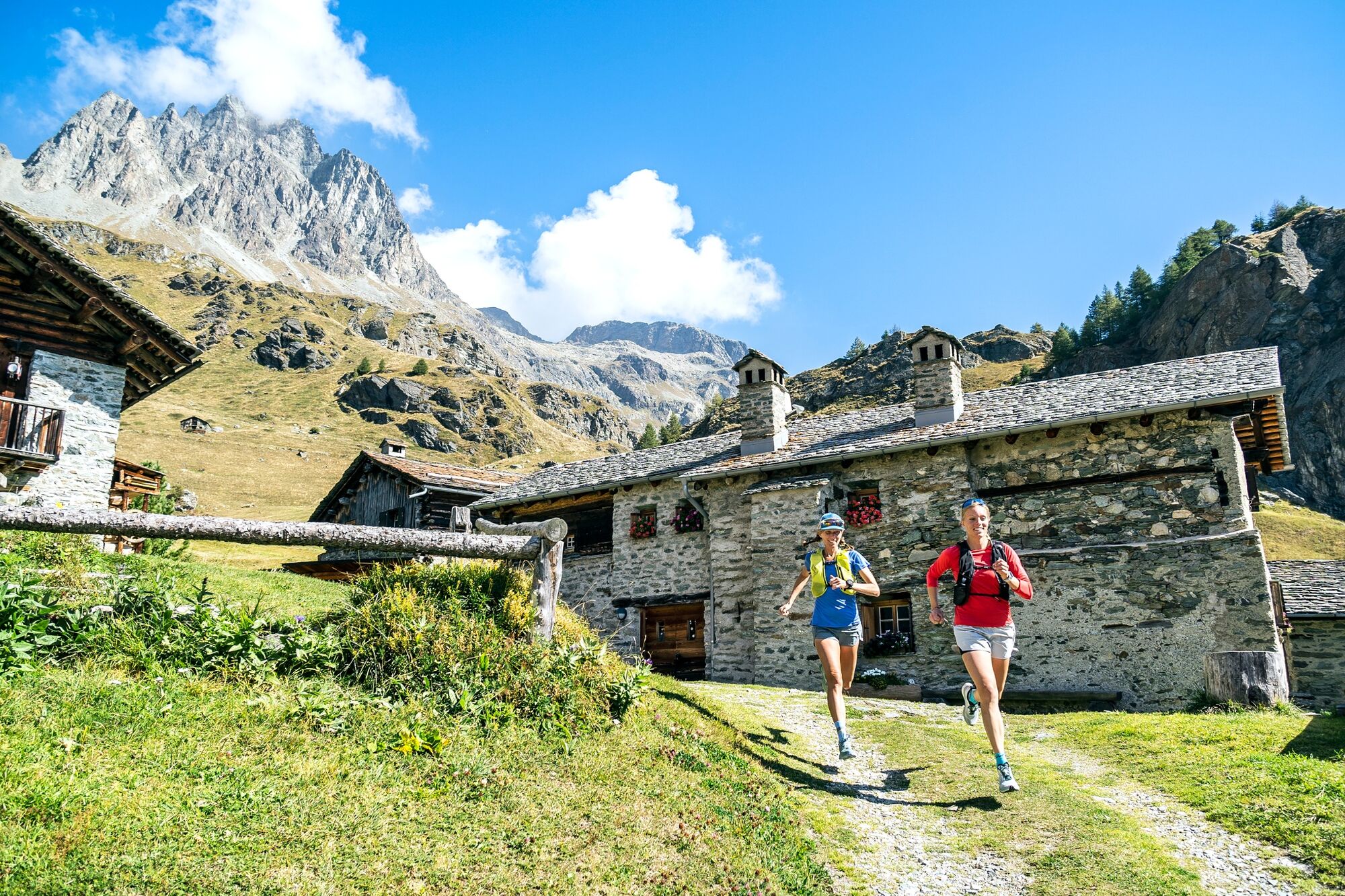
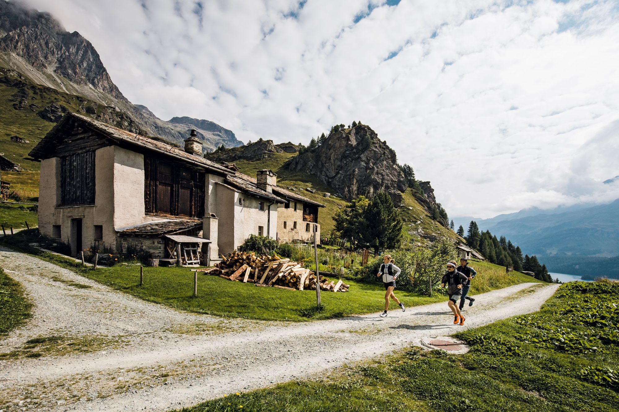
On the descent to Pontresina, you can enjoy refreshments in the Chamanna Paradies hut or the Bergrestaurant Alp Languard. Once you have left the mountaineering village of Pontresina, on the same level as the train station you enter the pretty Val Roseg. In front of the Hotel Restaurant Val Roseg, the path turns right and climbs up to the Fuorcla Surlej, offering views of the Vadret da Roseg lake and the Bianco ridge of the Piz Bernina on the left. After the Fuorcla Surlej, the trail descends 200 vertical metres to the tiny Lej da la Fuorcla lake and traverses the mountain flank to Alp Prasüra and down to the culture village of Sils. The route then leads past the church in Sils Baselgia to the left side of the valley along the Via Engiadina, past the Heidi village of Grevasalvas to Maloja.
Detour: from Sils to the lake of Sils and hike along the lake to Isola and on to Maloja. If you prefer, you can also take the boat from the Sils boathouse and travel comfortably to Maloja.
More information
Engadin Tourismus AG
Via Maistra 1
CH-7500 St. Moritz
Phone: +41 81 830 00 01
E-mail: allegra@engadin.ch
Internet: www.engadin.chBooking
Eurotrek AG
Zürcherstrasse 42
CH-8103 Unterengstringen
Phone: +41 44 316 10 00
E-mail: eurotrek@eurotrek.ch
Internet: www.eurotrek.ch/en/trailrunning-bernina-tour-5-4 - Directions
-
Poschiavo - Cavaglia - Alp Grüm - Ospizio Bernina - Daivolezza - Fuorcla Pischa - ALp Languard - Pontresina - Val Roseg - Fuorcla Surlej - Mittelstation Corvatsch - Sils - Grevasalvas - Blaunca - Maloja
- Highest point
- 2,997 m
- Endpoint
-
Maloja
- Height profile
-
 © outdooractive.com
 - Safety instructions
-
In June there may still be snow at higher altitudes.
In the mountains, mobile phone reception cannot be guaranteed everywhere. - Public transportation
-
With the RhB on the Unesco World Heritage Line to Poschiavo.

- Author
-
The tour Bernina-Tour Switzerland is used by outdooractive.com provided.


General info
-
Veltlin / Valtellina
76
-
Engadin St. Moritz
104
-
Diavolezza
39