
- Brief description
-
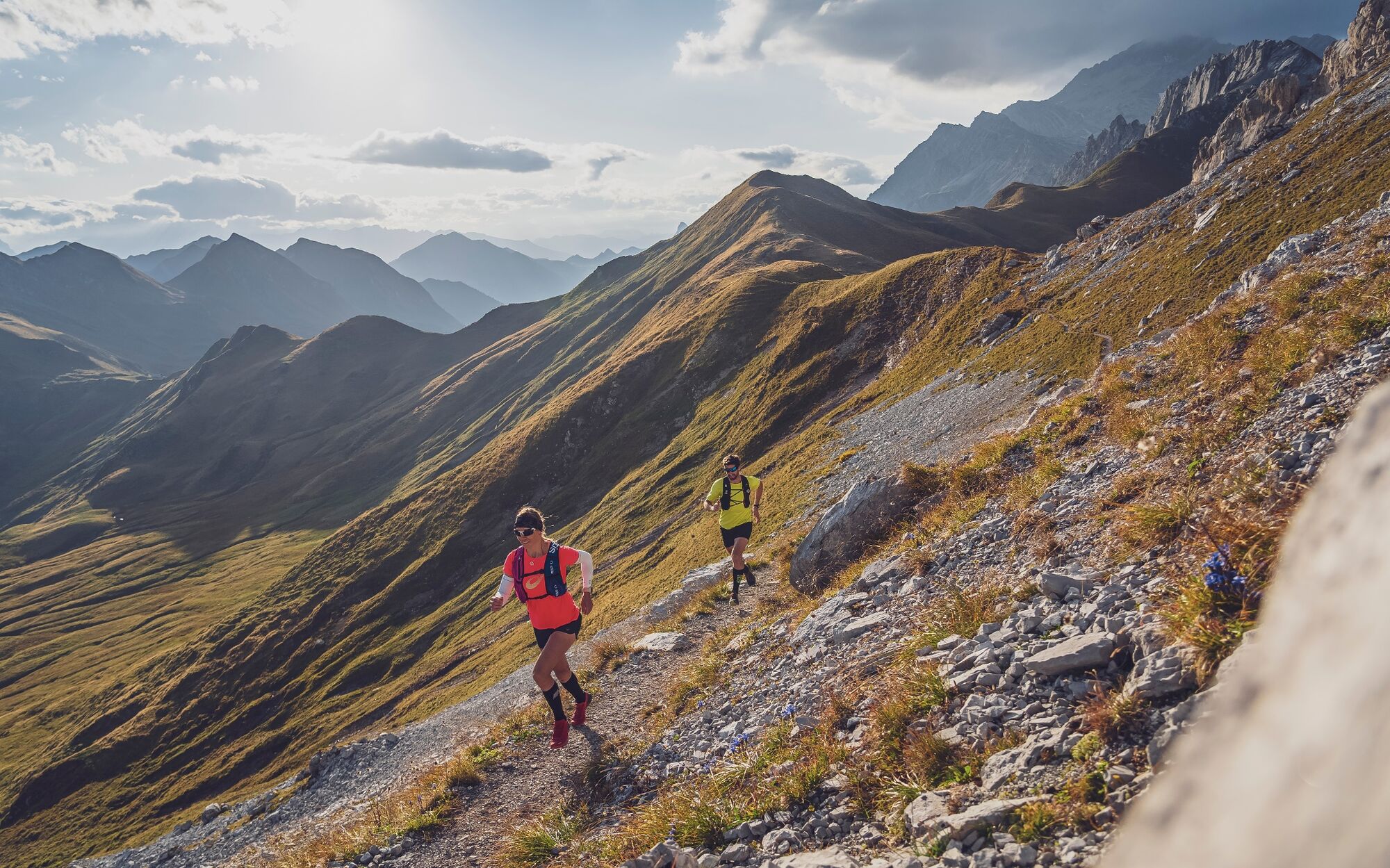
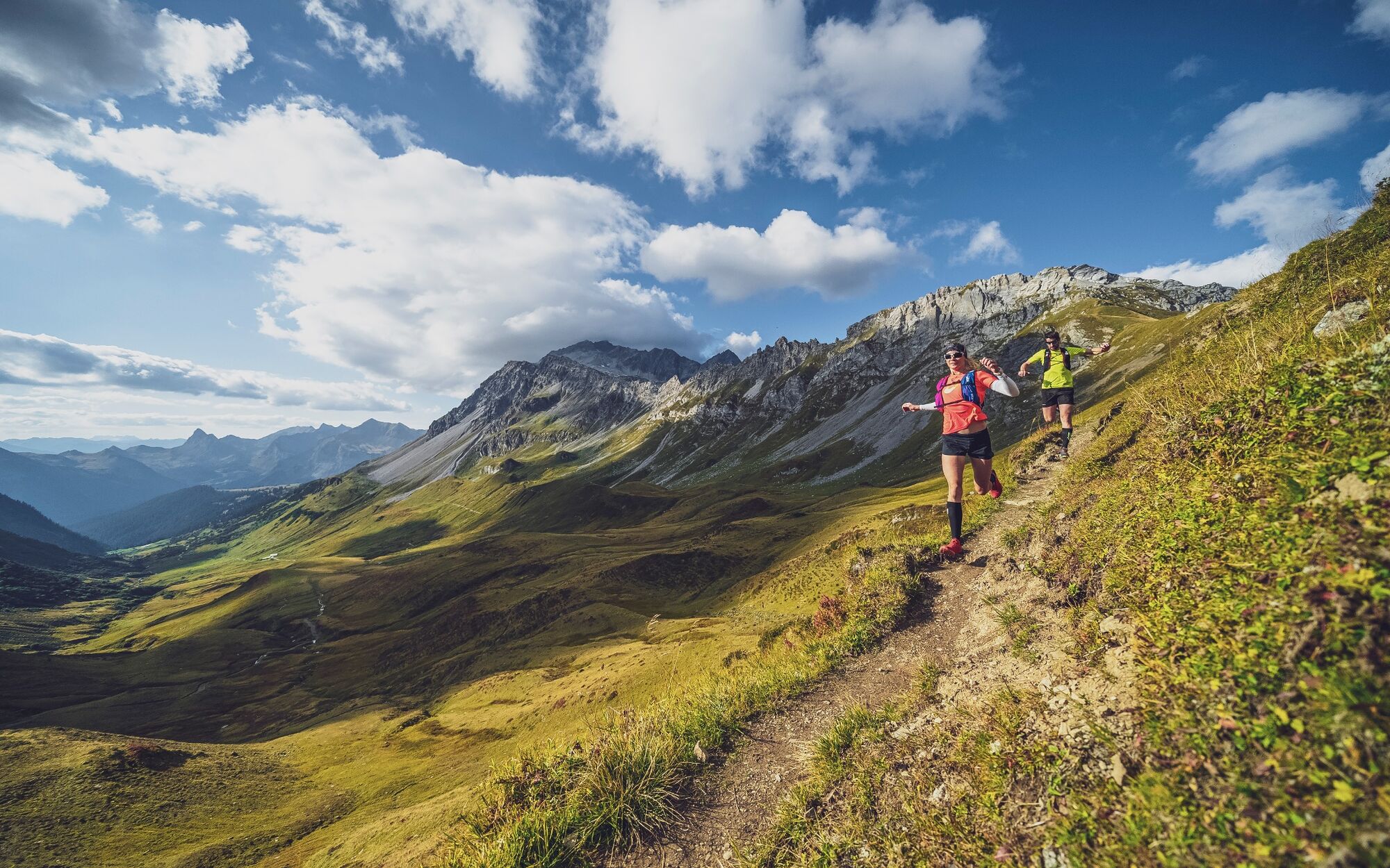
The 2-Länder Trail is a very demanding and attractive trail for experienced trail runners with its more than 50 km and around 3,600 metres of altitude.
- Difficulty
-
difficult
- Rating
-
- Starting point
-
ARENA Klosters
- Route
-
Sport RestaurantMälcheti (1,289 m)2.6 kmMonbiel5.3 kmHöhwald5.4 kmBerghaus Alpenrösli Klosters9.2 kmBerghaus Erika13.9 kmSchlappin See14.0 kmSchlappin (1,658 m)14.2 kmUntere Valzifenzalpe20.5 kmMadrisahütte21.0 kmVergalda22.4 kmRüti23.5 kmKessl Hütte24.2 kmTäscher30.6 kmRätschenhorn (2,703 m)38.2 kmSaaser Calanda (2,585 m)39.0 kmBockhorn (2,353 m)40.5 kmGeisshorn (2,276 m)41.0 kmBergrestaurant Madrisa-Hof43.7 kmStn. Madrisa (1,884 m)43.8 kmPizzeria Madrisa-Mia47.9 kmMadrisabahn Talstation (1,191 m)48.0 kmKlosters Dorf48.4 kmKlosters Platz (1,191 m)50.0 kmKlosters Platz (1,191 m)50.2 kmSport Restaurant50.8 km
- Best season
-
JanFebMarAprMayJunJulAugSepOctNovDec
- Description
-
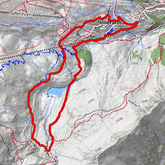
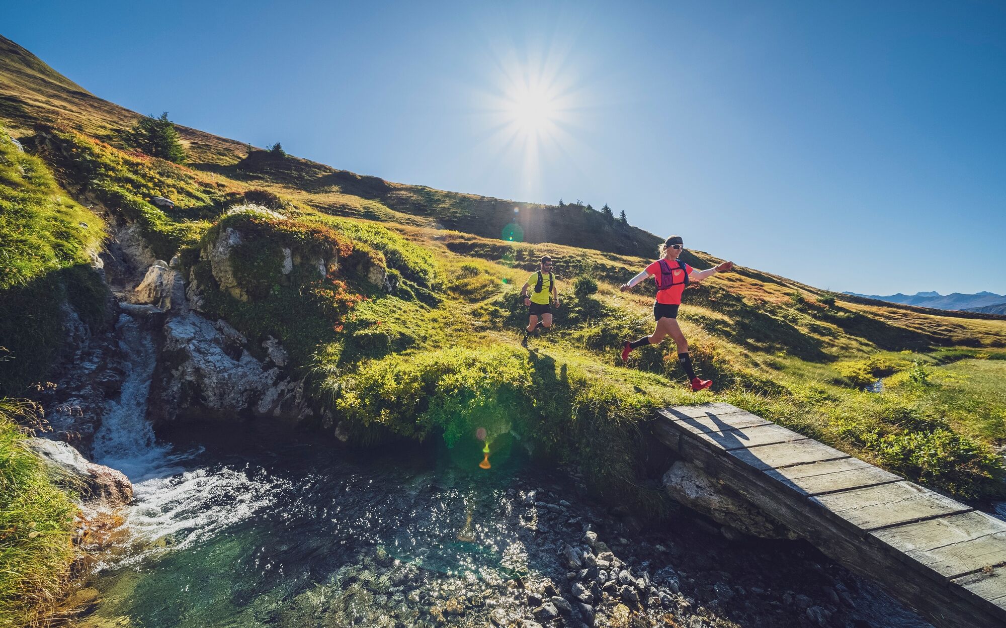
From Klosters, the trail leads along a gravel path along the river to the nature trail in the direction of Monbiel. The subsequent field path leads to an alpine settlement with wildly romantic flair. The subsequent climb to Schlappin is peppered with steps, roots and steep passages as well as mountain stream crossings. The reward is impressive: The picturesque mountain village of Schlappin and the crystal-clear Schlappinsee invite you to dream!
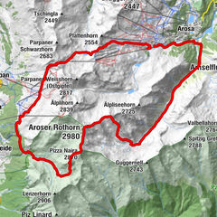
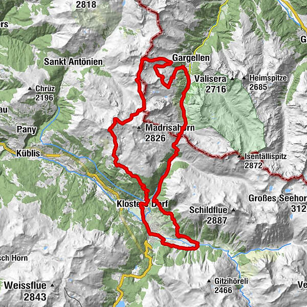
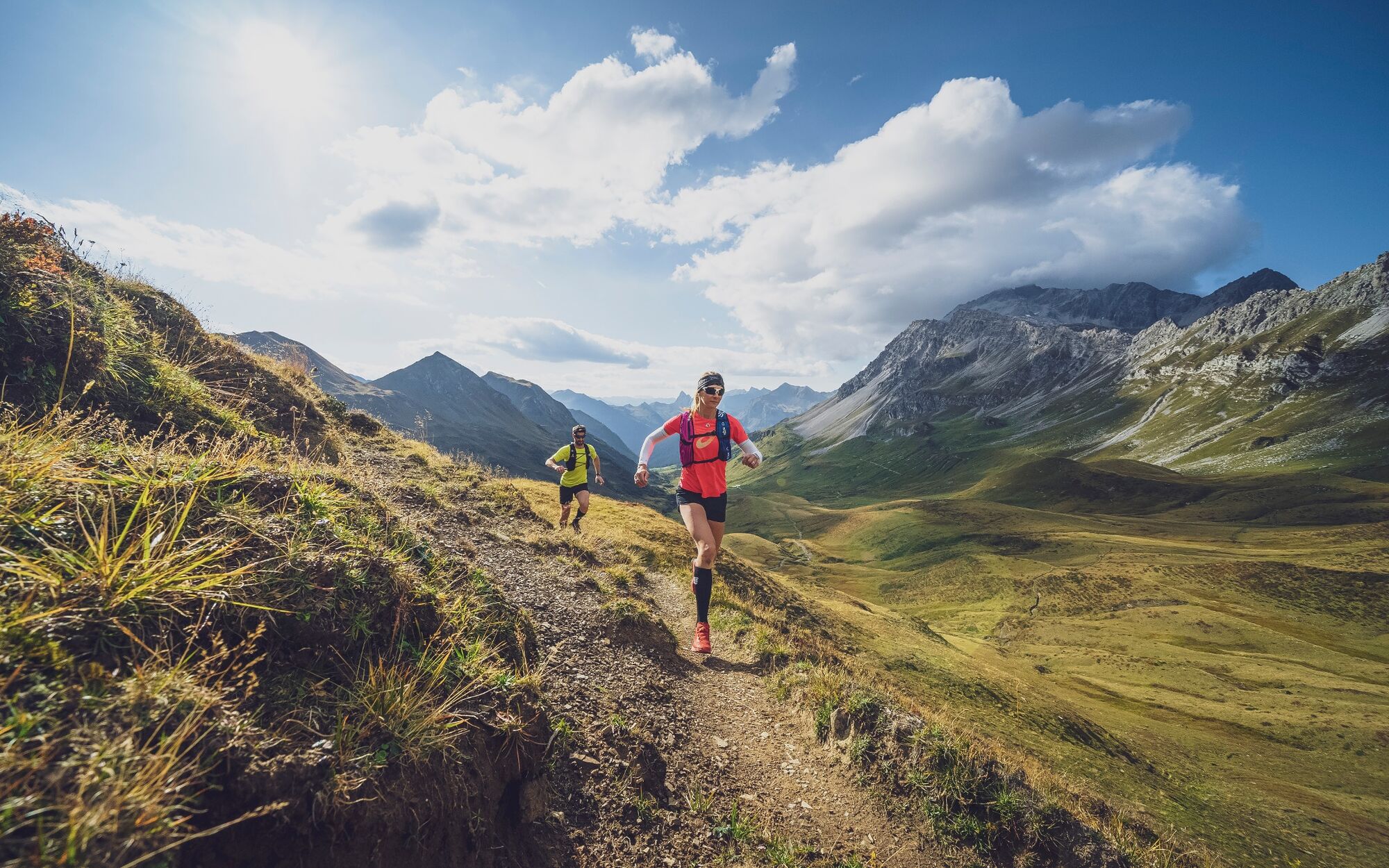
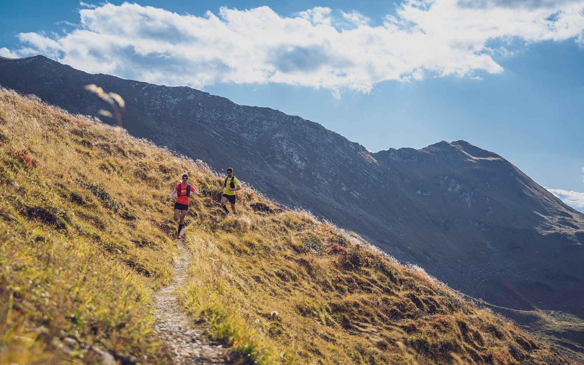
After crossing the mountain village of Schlappin, the vertical trail to Schlappinerjoch in Austria begins. This is followed by a descent to Vergalden near Gargellen. Past the Madrisahütte and the Schafberghüsli mountain restaurant, the real challenge in the high alpine mountains now begins. The trail leads over the Gargellner Alptobel and Täscher past the lakes to the St. Antönier Joch. After a detour to the beautiful Gafjersee, the trail continues full of tracks to the Gafjerjoch. This is followed by the technical descent to the white limestone massif of the Gafjer Platten and the ascent to the 2700m summit.
Once you have reached the summit, you will be rewarded with a unique view of the well-known Rätikon group, the entire Prättigau region as far as Davos and on to the Bernina and many other mountain peaks in 360 degree view!
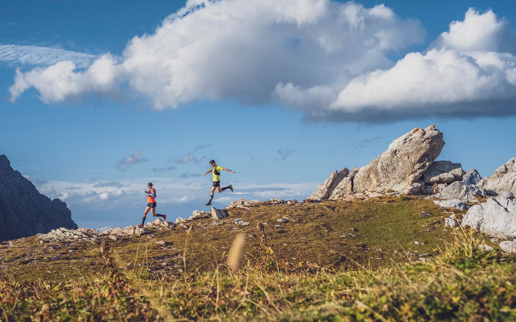
Via the ridge of the Saas Calandas, you reach the Mässplatten on Madrisa, from where you can enjoy the last view of the Prättigau. After reaching the Madrisa farm, the last descent to Klosters Dorf is tackled. Through gravel and single trails, the route goes downhill to Klosters Dorf, before the short climb back up to Klosters Platz.
- Directions
-
Arena Klosters Platz - Monbiel - Schlappin - Vergalden - Madrisahütte - Schafberg - St. Antönier Joch - Gafjerjoch - Saaser Calanda - Madrisa Hof - Klosters Dorf - Arena Klosters Platz
- Highest point
- 2,694 m
- Endpoint
-
ARENA Klosters
- Height profile
-
 © outdooractive.com
 - Equipment
-
In addition to good physical condition, basic equipment (emergency blanket, mobile phone, cash (CHF/EUR), rain jacket, drink flasks ect.) is recommended.
- Safety instructions
-
Please note the weather development in Vergalden near Gargellen. In case of uncertainty, we recommend the alternative route via the smuggler's path directly to Gafjerjoch and then via Rätschenjoch to Madrisa.
- Tips
-
The Erika mountain restaurant in Schlappin is an excellent place for a snack.
- Additional information
-
Alternative route:
To reduce the difficulty and length of the trail, you can take the Schafberg cable car from Gargellen to Schafberghüsli and walk back via Rätschenjoch in bad weather. This reduces the distance to around 40 km.
The route can also be completed as a 2-day trail with overnight accommodation in Gargellen.
Further information:
This route is one of many top routes in the joint trail network of Davos Klosters & Prättigau.
Discover more tours at: https://www.praettigau.info/Aktivitaeten/Sommer/Trailrunning
- Arrival
-
On the A13 and N28 to Klosters.
- Public transportation
-
With the RhB from Landquart to Klosters Platz.
- Parking
-
Please use the public parking spaces (old ice rink, sports field).
-

-
AuthorThe tour 2-Country Trail is used by outdooractive.com provided.


General info
-
Davos Klosters
119
-
Klosters
44