© Engadin Tourismus AG - Dan Patitucci

© Engadin Tourismus AG - Dan Patitucci

© Engadin Tourismus AG - Dan Patitucci

© Engadin Tourismus AG - Dan Patitucci

© Engadin Tourismus AG - Dan Patitucci

- Brief description
-
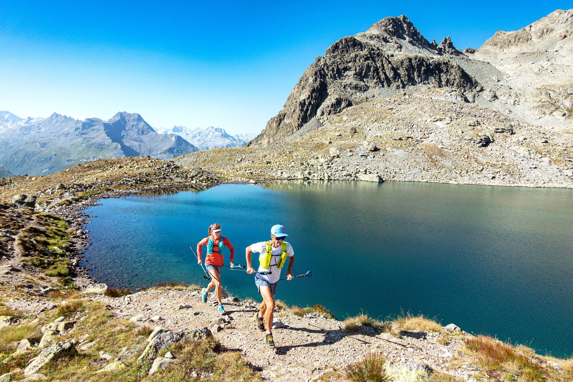
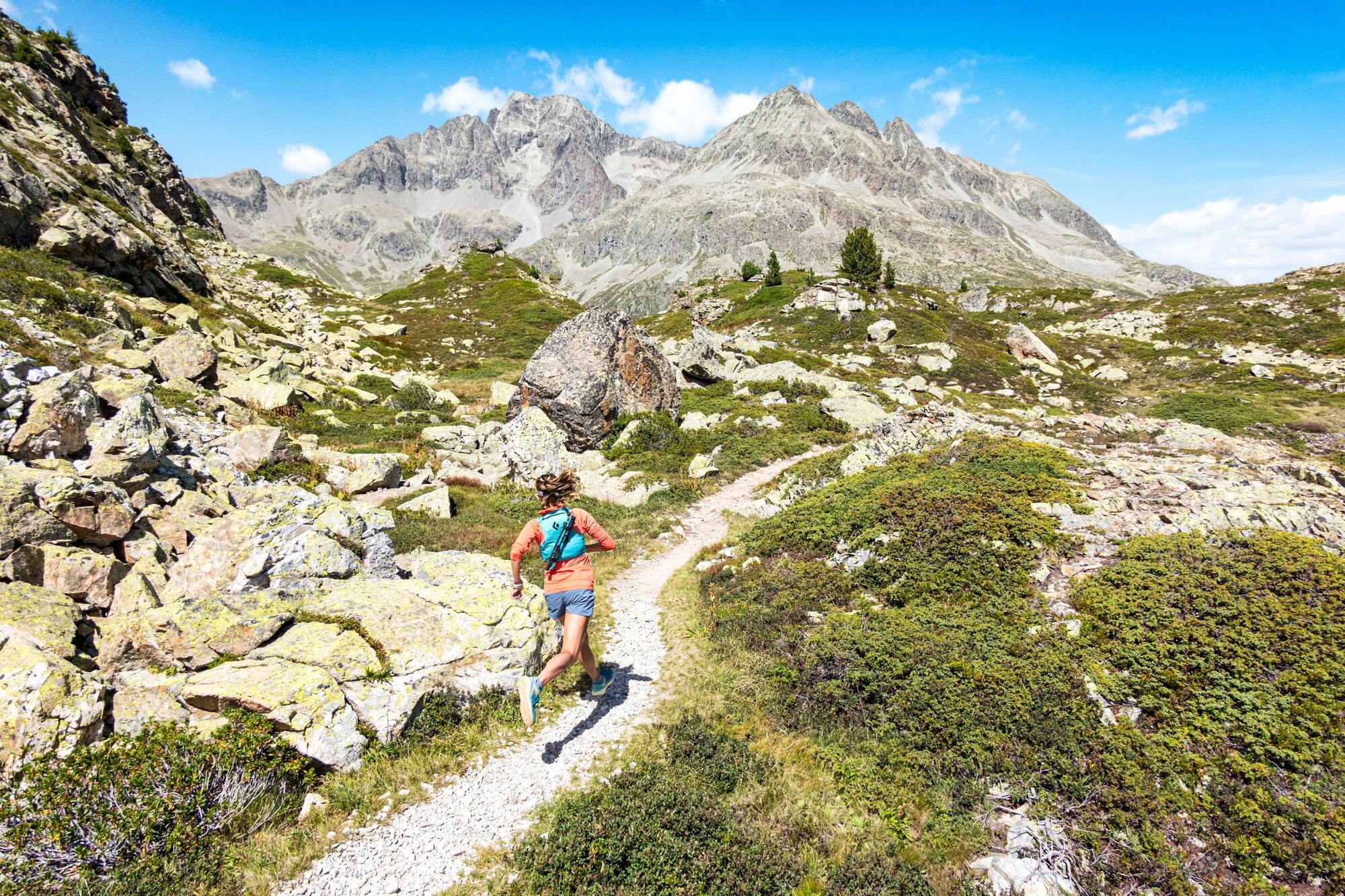
If you are looking for some ascent then this is the route for you.
- Difficulty
-
difficult
- Rating
-
- Starting point
-
Riva d'Lej, Sils Maria
- Best season
-
JanFebMarAprMayJunJulAugSepOctNovDec
- Description
-
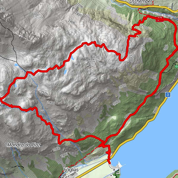
The view over Sils changes with every step as you climb to Lej da la Tscheppa, a hidden high mountain lake, wildly beautiful. From Riva d’Lej, cross the main road and head directly up; It is a steep climb but a great test for the leg, heart and lungs! Lej da la Tscheppa is an unexpected delight and a good spot to rest for a while and to take in the scenery. Descending towards Silvaplana the trail winds down the mountainside dotted with little lakes and areas of marshland. Enjoy the views over the Engadin landscape and on approaching the gorge, Vallun, take the Via Engiadina heading back toward the starting point at Sils.
More information
Engadin Tourismus AG
Via Maistra 1
CH-7500 St. Moritz
Phone: +41 81 830 00 01
E-mail: allegra@engadin.ch
Internet: www.engadin.ch - Directions
-
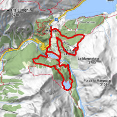
Riva d'Lej - Lej da la Tscheppa - Muttaun - Vallun - Via Engiadina - Riva d'Lej
- Highest point
- 2,622 m
- Endpoint
-
Riva d'Lej, Sils Maria
- Height profile
-
 © outdooractive.com
 - Safety instructions
-
The descent to the Julierpass road may be icy in autumn.
- Tips
-
From the Julierpass road the ascent is less steep.
- Parking
-
Parking spaces at the Beach Club


- Author
-
The tour Lej da la Tscheppa is used by outdooractive.com provided.
GPS Downloads


General info
A lot of view
Other tours in the regions
-
Veltlin / Valtellina
76
-
Engadin St. Moritz
104
-
Silvaplana
56