


- Brief description
-
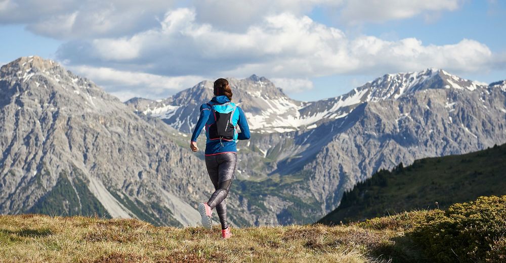
A tour of 9km with a relatively heavy ascent that is followed with a breath-taking view on Arosa.
- Difficulty
-
medium
- Rating
-
- Route
-
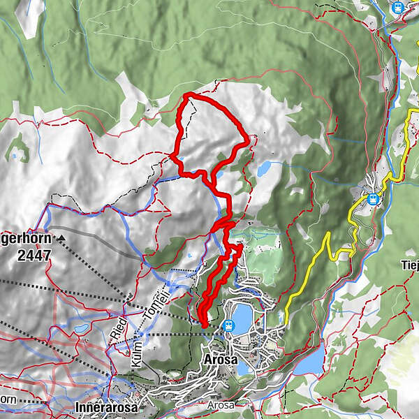
Arosa (1,739 m)Maran (1,862 m)1.2 kmRot Tritt4.5 kmMaran (1,862 m)7.9 kmPrätschli8.4 kmArosa (1,739 m)9.0 km
- Best season
-
JanFebMarAprMayJunJulAugSepOctNovDec
- Description
-
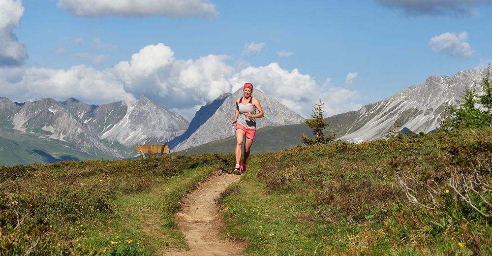
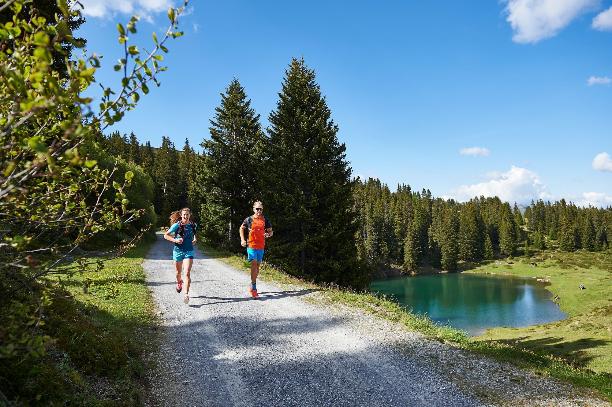
This crisp trail starts with a heavy climb through the forest of Maran. After a while the ascent decreases a little and the trails leads through Alpine meadows. The steep climb of almost 300m of altitude difference is rewarded with a fantastic view from the Rot Tritt and if required a little break at the Prätschalp. The whole ascent will now transform into a descent - the return journey is similar to the first part, only shifted slightly to the side.
- Directions
-
From the Scheitenböden follow the signposts along the forest trail to Maran. Once at the Golf and Sports Hotel Maran shortly continue on the main road until you reach the cheese making factory Maran. Turn right on the gravel path. The path leads uphill above the Prätschsee lake to the Prätschalp. Continue to the Rot Tritt and make a loop via the Scheidegg and Sandböden to return back to Maran. A little bit above Maran the trail branches off to the right and leads back to the starting point.
- Highest point
- 2,091 m
- Endpoint
-
Scheitenböden
- Height profile
-
 © outdooractive.com
 - Directions
-
Once you arrive in Chur, follow the sign posts Arosa. Before the Obersee lake take a right turn and again right at the beverage storage warehouse. The Scheitenböden are located where the chair lift passes above the main street.
- Public transportation
-
The Rhaetian Railway leaves Chur to Arosa and back at hourly intervals. The Scheitenböden are located just above the train station Arosa and are easily accessible by foot.
- Parking
-
There are no parking spots at the Scheitenböden. Therefore it is recommended to park at the car park Ochsenbühl (right next to the Sports and Conference Centre).


- Author
-
The tour Scheidegg Runde (Helsana Trail) is used by outdooractive.com provided.