
- Brief description
-
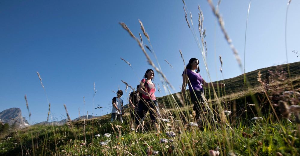
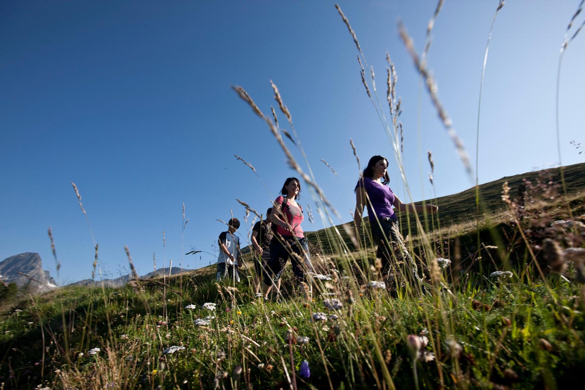
Here the whole family learns which animals and plants are found in the Lower Engadine terraced landscapes and explains how they live together.
- Difficulty
-
medium
- Rating
-
- Starting point
-
PostBus stop Tschlin, cumün
- Route
-
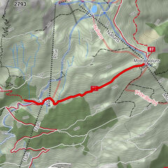
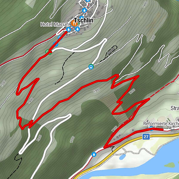
Tschlin (1,533 m)Truois0.9 kmStrada4.1 km
- Best season
-
JanFebMarAprMayJunJulAugSepOctNovDec
- Description
-
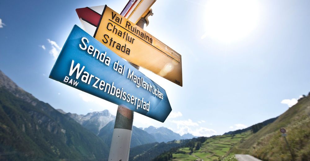
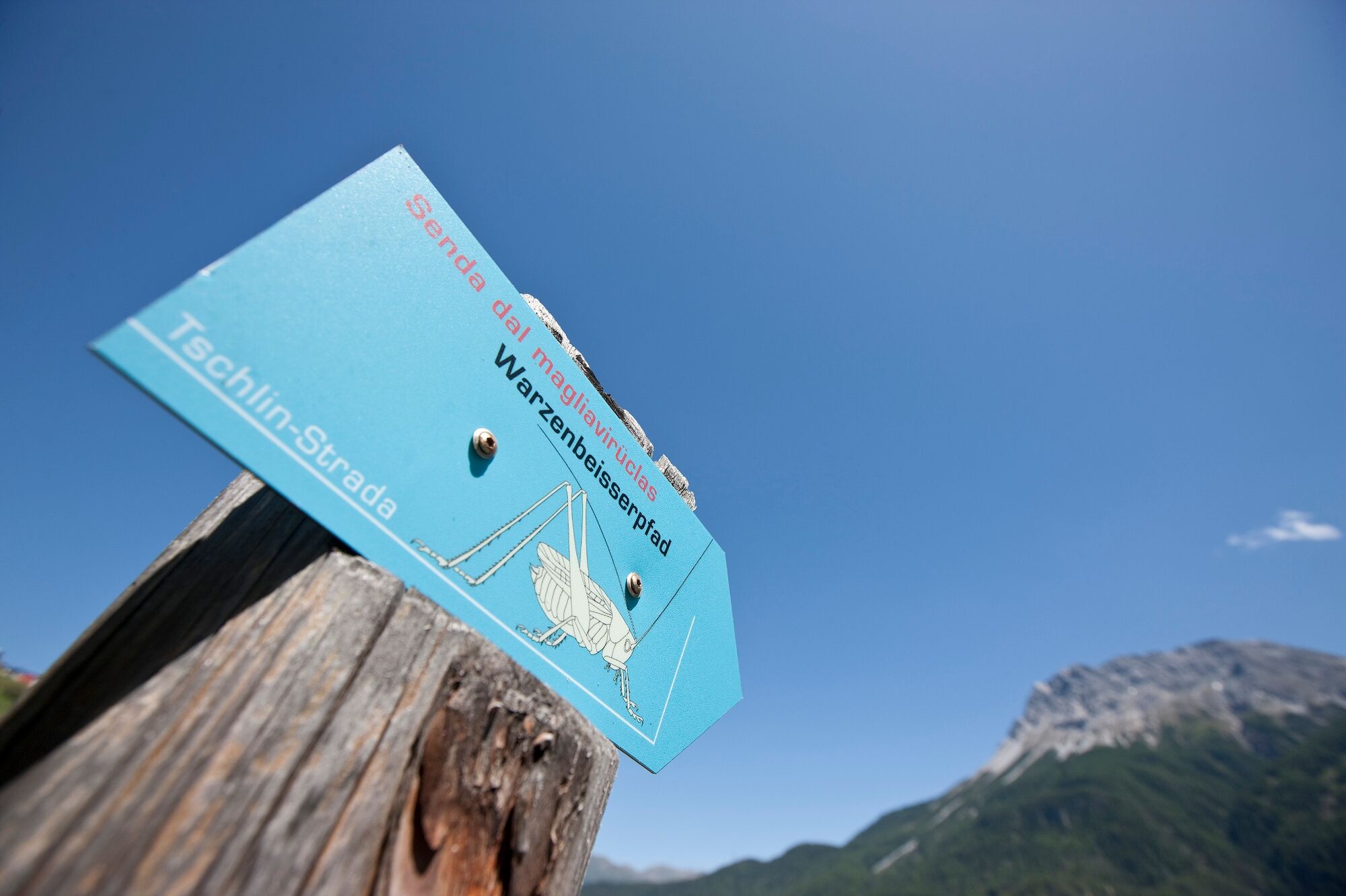
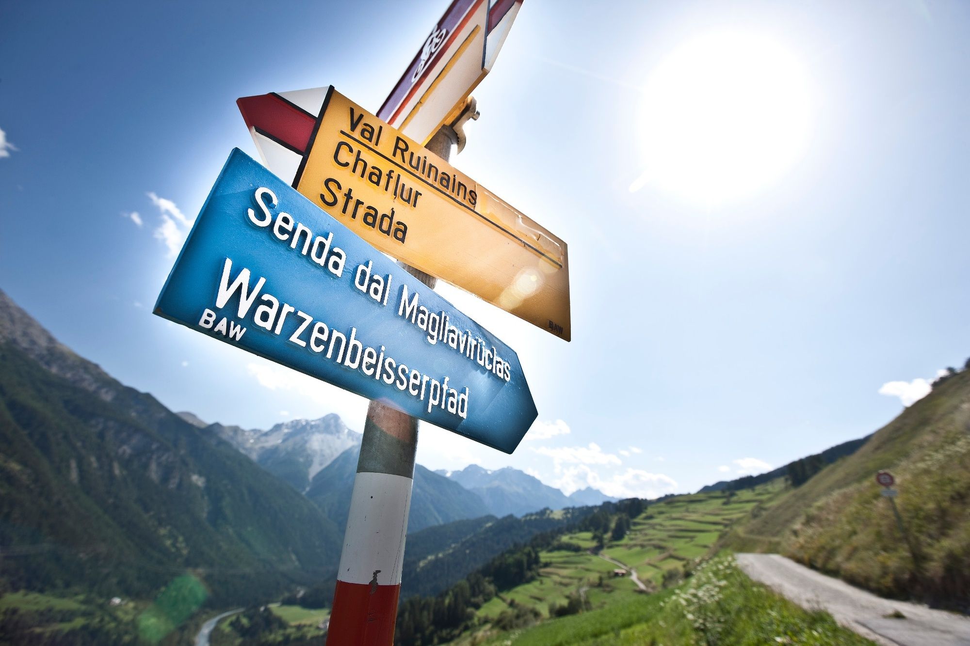
Il giardin da l'En – The Romansh name of the Engadine is derived from «Garden of the Inn». On the last kilometres before the national border, this garden is particularly fertile, green, species-rich and intact. This is why the Senda dal Magliavirüclas, in German «Warzenbeisserweg», leads through the flower-rich meadows and pastures of the Tschlin terraced landscape and is marked with blue signs. With their wealth of breeding birds, butterflies and other animal species, the slopes around Tschlin are a jewel of biodiversity. The family-friendly Warzenbeisser Trail encourages playful observation of the surroundings and conveys interesting facts about the natural and cultural landscape in the Lower Engadine at information and experience posts. The theme trail from Tschlin to Strada takes about two hours. Both places are easily accessible by PostBus.
- Directions
-
Start at the bus stop in Tschlin
Follow the blue signs of the theme trail
First stretch on the road
Turn left onto the natural road
Follow the path to Strada - Highest point
- 1,494 m
- Endpoint
-
Arrêt CarPostal de Strada i. E., Sclamischot
- Height profile
-
 © outdooractive.com
 - Equipment
-
Trainers or hiking boots, possibly poles, rain gear
- Safety instructions
-
The tour was assessed in favourable weather conditions, it is imperative that the current weather conditions and weather forecasts are observed before starting the tour.
Emergency call:
144 Emergency call, first aid
1414 Mountain rescue REGA
112 International emergency call
- Tips
-
The theme trail is highly recommended, especially in spring (around the end of May), when the meadows are in full bloom.
- Directions
-
-
From the north: via Landquart - Klosters by car transport through the Vereina Tunnel (Selfranga - Sagliains) or via the Flüela Pass into the Lower Engadine on H27
-
From the east: via Landeck / Austria in the direction of St. Moritz on H27
-
From the south: via Reschenpass (Nauders-Martina) or Ofenpass (Val Müstair-Zernez) on H27
Tschlin can be reached from the Engadin road H27 (between Strada and Ramosch)
-
- Public transportation
-
-
By Rhaetian Railway (from Chur, Landquart/Prättigau or from the Upper Engadine) hourly to Scuol-Tarasp.
-
By PostBus (from Martina, Sent, Ftan or Tarasp) hourly to the PostAtuo stop Tschlin, cumün
-
- Parking
-
- Free parking at the entrance to the village of Tschlin
- Author
-
The tour Warzenbeisser Trail is used by outdooractive.com provided.