- Brief description
-
Over 900 different flowering plants grow in a very small space between Arosa village and the Weisshorn.
- Difficulty
-
medium
- Rating
-
- Starting point
-
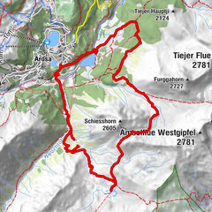
Weisshorn Arosa
- Route
-
Weisshorn (2,653 m)0.0 kmSattelhütte1.3 kmMitterer Hütte5.0 kmBrüggerstuba5.1 kmArosa (1,739 m)7.3 kmArosa (1,739 m)7.5 km
- Best season
-
JanFebMarAprMayJunJulAugSepOctNovDec
- Description
-
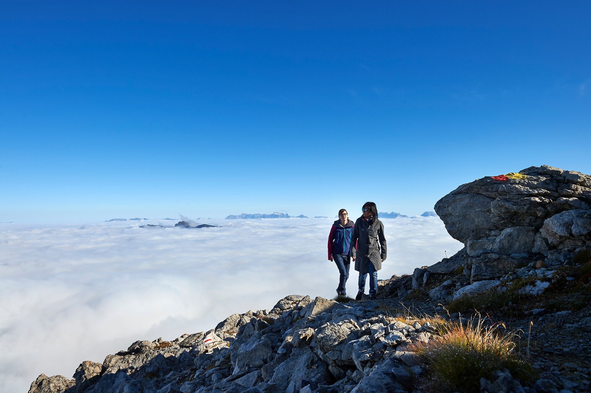
Arosa offers you a colourful excursion into the fascinating world of flowers from the Weisshorn to Arosa. Over 100 different flowering plants grow between Arosa village and the Weisshorn. One reason for this is that lime-rich and lime-poor soil meet here. The panorama on the Weisshorn, the starting point of the foray, is also record-breaking: more than 400 mountain peaks can be seen from here.
- Directions
-
The beginning of the hike is characterised by high alpine habitats, the plants are accordingly small. This also includes species restricted to small areas of Switzerland, such as the Triglav pippa or the glacier carnation - both with beautiful flowers. After two kilometres, you move from calcareous to acidic rock, which is reflected in a changed range of species. From here onwards, the meadows alternate with colourful mountain pastures. At the middle station of the cable car is the Arosa Bear Sanctuary, where bears from poor husbandry are allowed to spend their twilight years in an animal-friendly environment. A few hundred metres further on, small lime-rich fens with marsh trident and crownwort await you before the hiking trail leads to Arosa lined with lush subalpine high shrubberies.
- Highest point
- 2,637 m
- Endpoint
-
Train station Arosa
- Height profile
-
 © outdooractive.com
 - Equipment
-
Good shoes and clothing suitable for the weather.
- Safety instructions
- Tips
-
The theme trail booklet is available from Arosa Tourism. In it you will find the QR code for the Flower Walk app to get more information.
- Additional information
-
Arosa strives to provide hikers with a well-developed and marked network of hiking trails. Please heed the rules and signposting.
Please keep your dogs on a leash Please take litter and leftovers from picnics home again You will often see game on your walks. Enjoy the sight of these animals and respect their familiar surroundings. Leave trail markings where they are Do not use closed paths (winter sports report) Do not leave the officially marked winter hiking trails - Directions
-
From Chur along the winding Arosastrasse to the end of the valley to Arosa.
- Public transportation
-
By Train RhB from Chur to Arosa.
- Parking

- Author
-
The tour Flower Walks is used by outdooractive.com provided.