- Brief description
-
On this path, 24 panels provide information about the region and the Romance language.
- Difficulty
-
easy
- Rating
-
- Starting point
-
Foppa
- Route
-
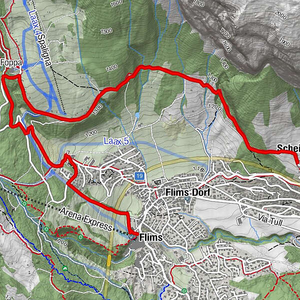
Flims (1,081 m)Foppa (1,424 m)2.5 kmScheia5.9 kmHaldenhaus5.9 km
- Best season
-
JanFebMarAprMayJunJulAugSepOctNovDec
- Description
-
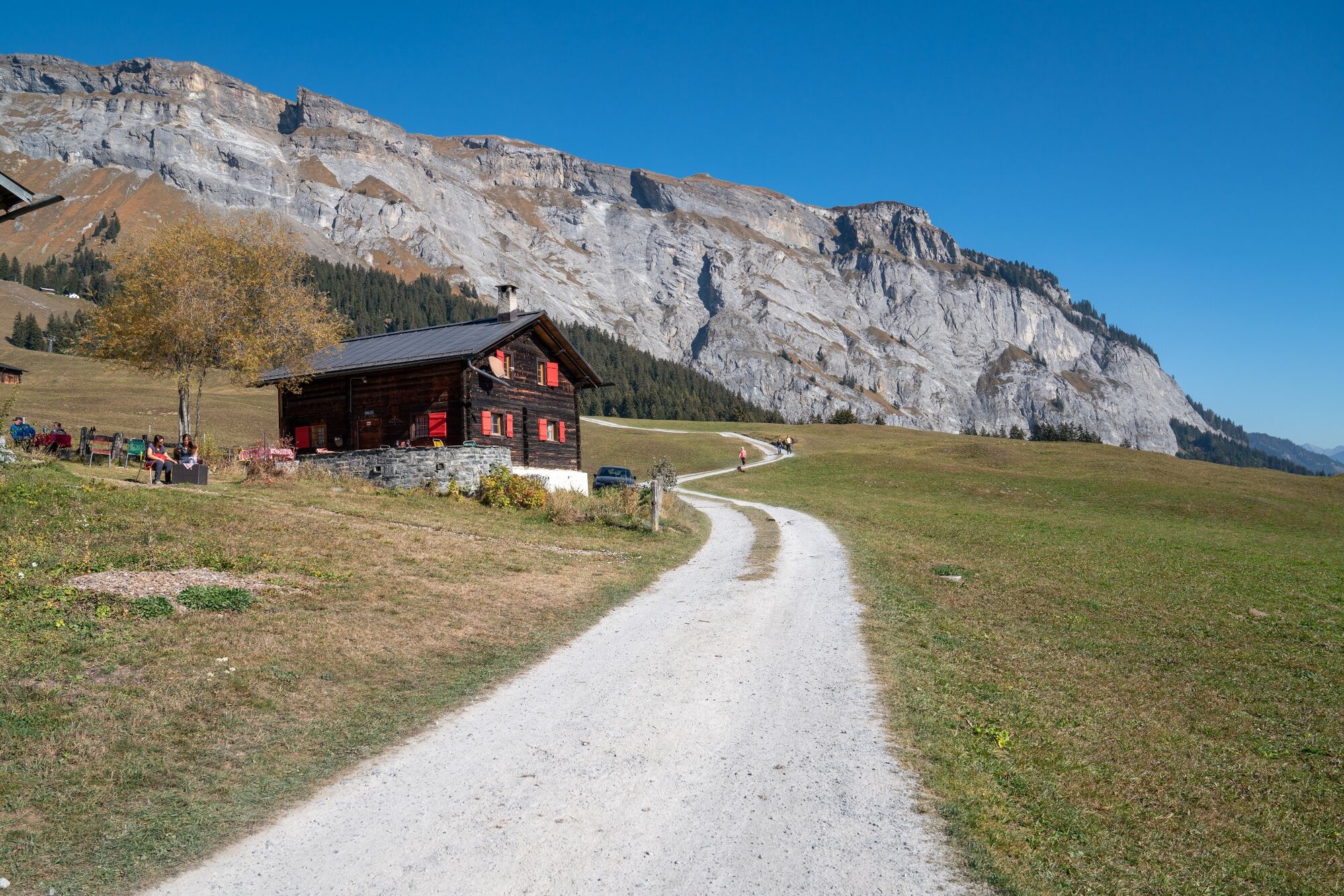
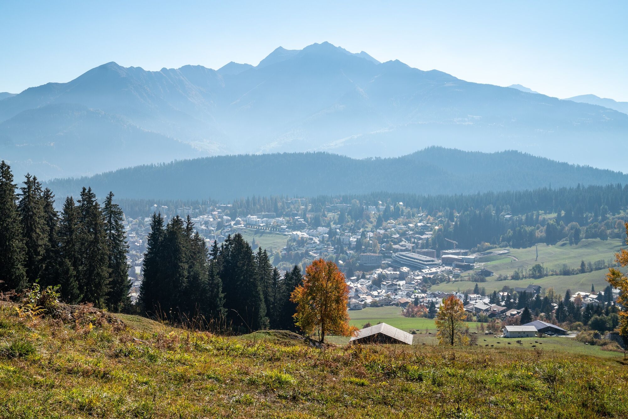
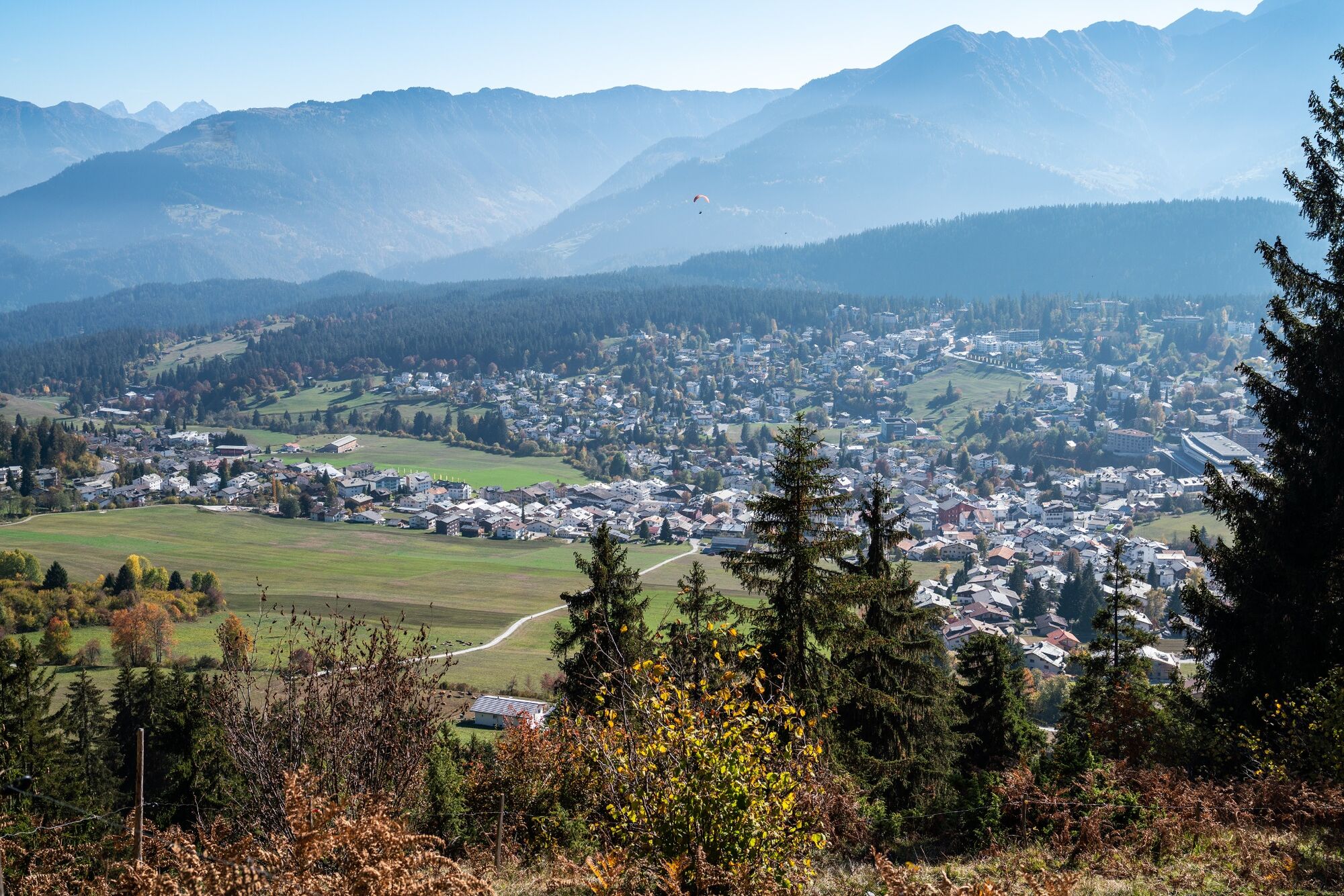
The Language Trail explains how the Romance language 15v. After the Romans' entry into the Roman Empire, it was when the Romansh language area reached its greatest extent and why it then shrunk. The findings on the linguistic background of the 4th Swiss national language and parallels with other languages follow. Accompanying the knowledge of the Romance language is information on the sights you will encounter, the evolution of Flims and how Surselva got its name. By the time you reach the end of Senda Romontscha, you can certainly talk to some locals about your walk, the weather, the forest and its animals.
Snowline map
While at higher altitudes there is at best already snow, the trails in the valley are still free of snow. Our interactive snow depth map helps you to plan your tour. Here you can see at a glance at www.flims.com/schneesituation where you can already expect snow on the paths and trails and where you can still be on the road without getting cold feet.
- Directions
-
From Flims (mountain railways) on foot to Foppa. Continue on the trail to Scheia (Fidaz). Back to Flims on foot or by post bus from Fidaz.
- Highest point
- 1,405 m
- Endpoint
-
Fidaz
- Height profile
-
 © outdooractive.com
 - Equipment
-
Good mountain boots and rain protection strongly recommended.
- Safety instructions
-
Supervise your children at all times.
- Tips
-
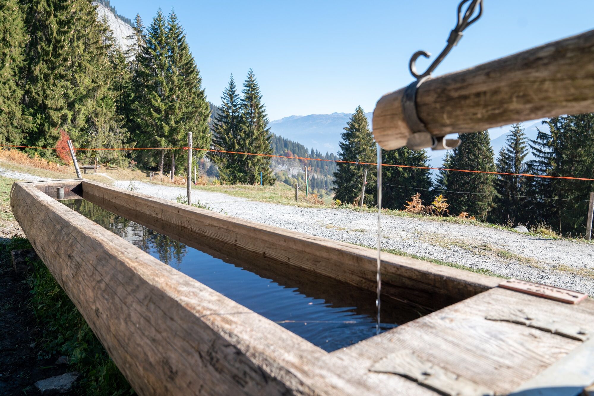
Exciting information about the impressive tectonic arena Sardona, the Martinsloch, the Cauma and Cresta lakes as well as the Rhine gorge, the Il Spir observation platform and the Pinut via ferrata await you.
- Additional information
-
Gästeinformation Flims Laax Falera
Via Nova 62
CH-7017 Flims
Tel: +41 (0)81 920 92 00
E-Mail: info@flimslaax.com
Web: www.flimslaax.com
- Directions
-
By car Motorway A13 from Zurich, exit 18 Flims.
- Public transportation
-
Stop: Flims Bergbahnen.
By Postbus from Chur or the public Flims Laax Falera Shuttle.
www.sbb.ch
- Parking
-
Parking in the car park Stenna - Flims Bergbahnen


-

-
AuthorThe tour Language Trail - Senda romontscha is used by outdooractive.com provided.


General info
-
Heidiland
2199
-
Flims Laax Falera
773
-
Castrisch
312