


- Brief description
-
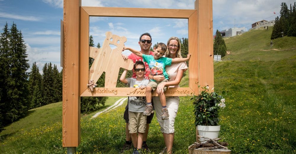
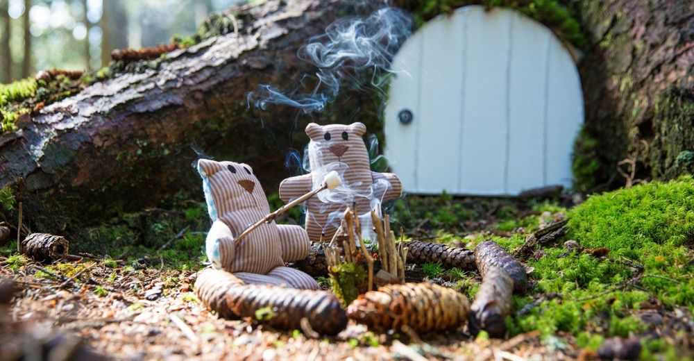
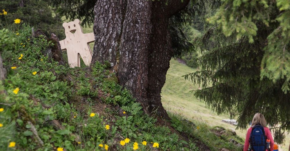
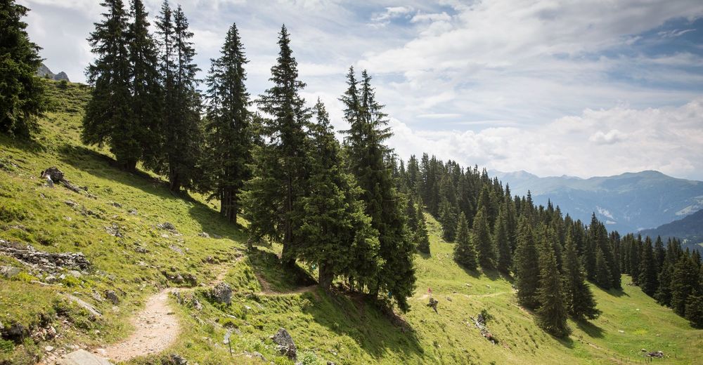
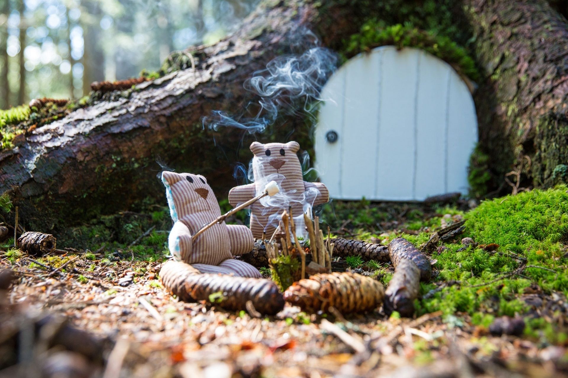
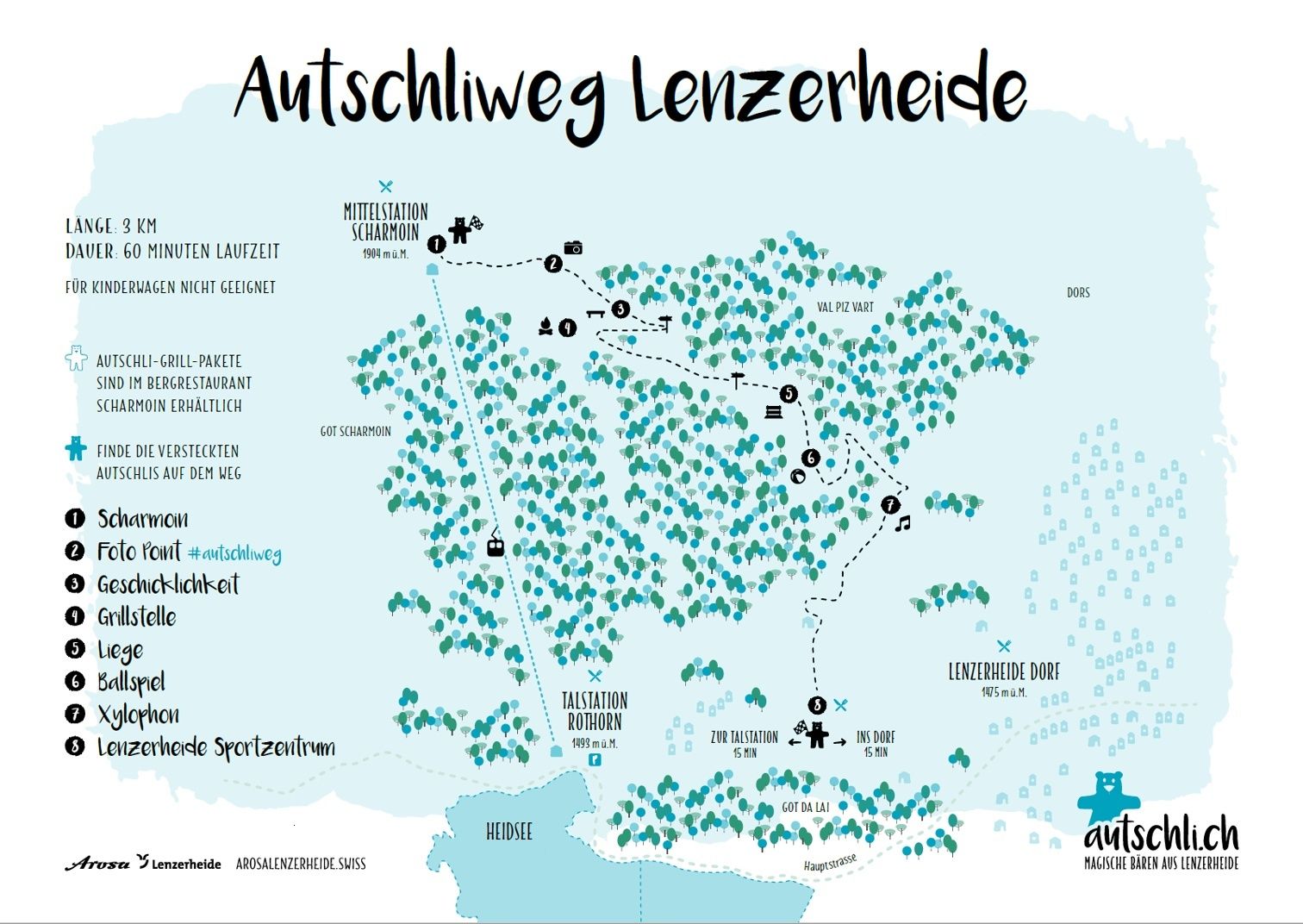
The Autschliweg is perfect for a short excursion. On the trail from middle station Scharmoin down to the village Lenzerheide exciting discoveries on the topic forest await. Always accompanied by Autschli, the magic bear from Lenzerheide.
- Difficulty
-
easy
- Rating
-
- Starting point
-
valley station Rothorn
- Route
-
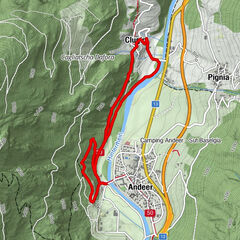
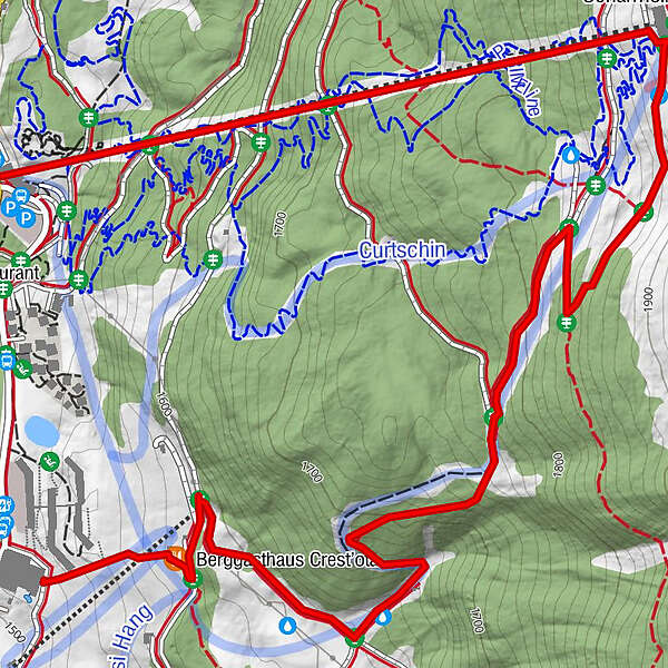
Scharmoin (1,905 m)0.0 kmFreeflow Restaurant0.1 kmScharmoin1.3 kmStation Scharmoin (1,904 m)1.4 km
- Best season
-
JanFebMarAprMayJunJulAugSepOctNovDec
- Description
-
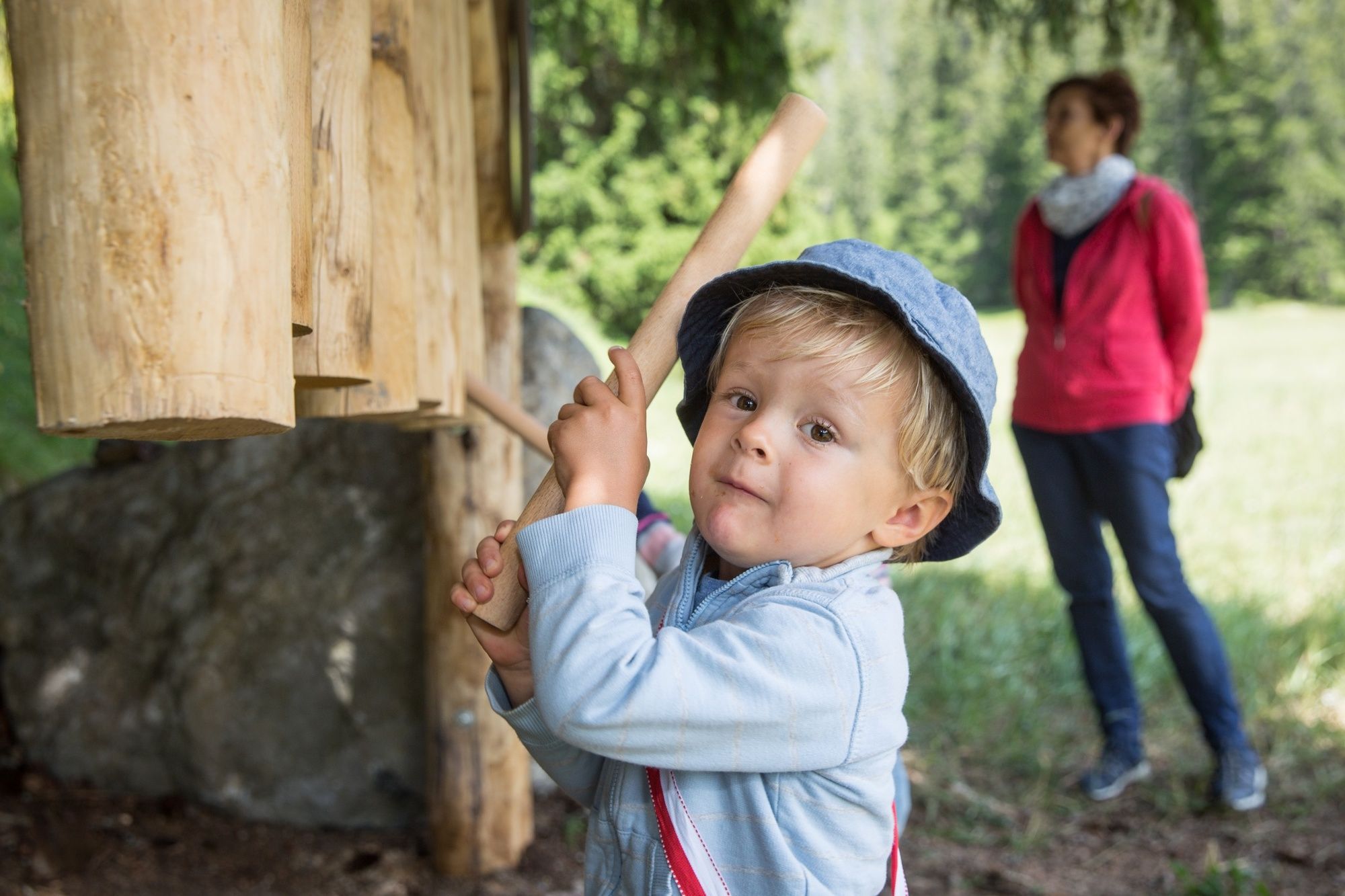
The themetrail about the habitat forest is a mix of learn-, adventure- and pleasurepath. Various installations provide exciting discoveries or relaxing moments. Autschli, the magic bear from Lenzerheide, is present on the complete path. He's always hiding somewhere - do you know how many times he hid himself?
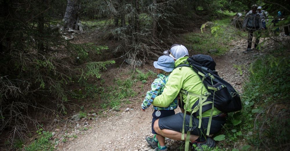
The Autschliweg is unsuitable for strollers!
- Directions
-
The Autschliweg ens by the Sportzentrum Lenzerheide. From there you can either head richt towards the valley station Rothorn or left toward the village. Both final endpoint are 5min from the Sportzentrum. If you have time, why don't you play around of minigolf or take a swim?
- Highest point
- 1,900 m
- Endpoint
-
village Lenzerheide or valley station Rothorn
- Height profile
-
 © outdooractive.com
 - Equipment
-
good shoes, cildren carrier backpack as strollers are unsuitable on this path
- Safety instructions
-
The Autschliweg ist unsuitable for strollers!
- Tips
-
The trail can also be walked in opposite direction (starting in the village, walking up to Scharmon). With children, we recommend walking downwards as there are some steep parts.
- Directions
-
From Basel and Zürich - A13 to Chur - Chur Süd (Nr. 17) - Lenzerheide
From Milano - Lugano - San Bernardino Tunnel - Chur Süd - Lenzerheide
- Public transportation
-
Travel to chur by train. From there you can take the PostautoGraubünden Bus (Nr. 182) to Lenzerheide Rothornbahn. This way you arrive by the valley station rothornbahn within approx. 40 minutes.
- Parking
-
you can find parking spaces by the valley station Rothorn


- Author
-
The tour Autschliweg is used by outdooractive.com provided.