© lorenzfischer.photo - Lorenz A. Fischer

© @SeraGioFotografie
© @SeraGioFotografie
© @SeraGioFotografie
© @SeraGioFotografie

© @SeraGioFotografie


- Brief description
-
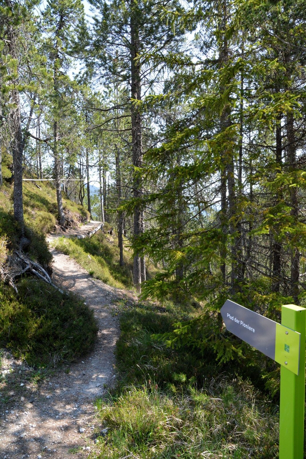
Path of the Pioneers
- Difficulty
-
medium
- Rating
-
- Route
-
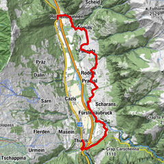
Landgasthaus Post0.1 kmSurava (904 m)0.1 kmStretg0.2 kmVal Raschèr0.7 kmArvadi-Quelle6.3 kmOislas miez7.2 kmPlan digls Bovs7.5 kmArasa launga7.6 kmVal Raschèr8.0 kmStretg8.5 kmLandgasthaus Post8.6 kmSurava (904 m)8.6 km
- Best season
-
JanFebMarAprMayJunJulAugSepOctNovDec
- Description
-
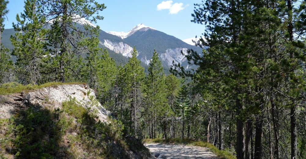
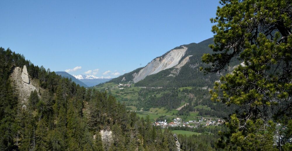
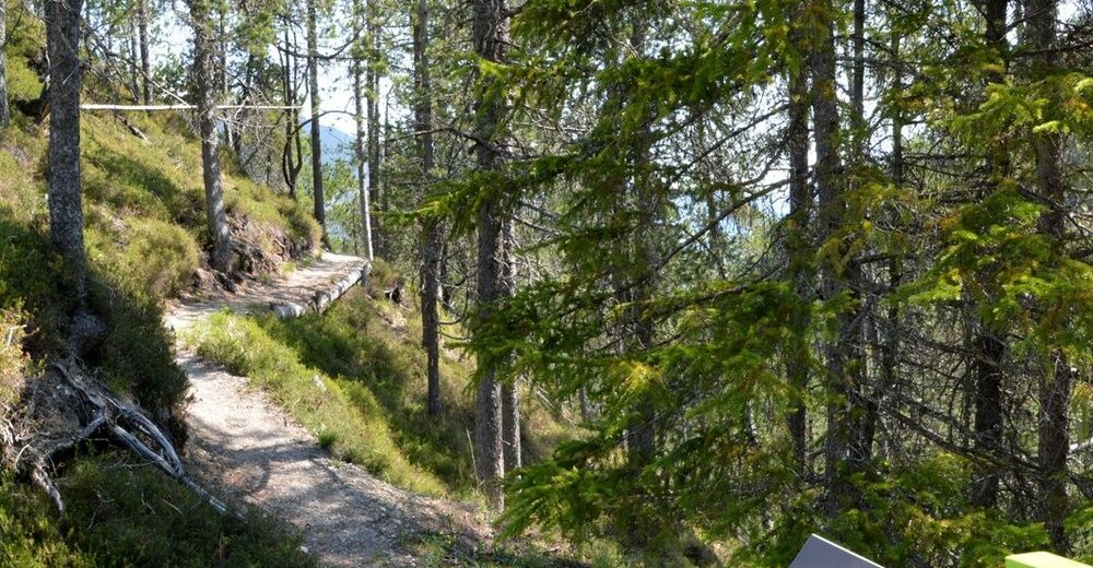
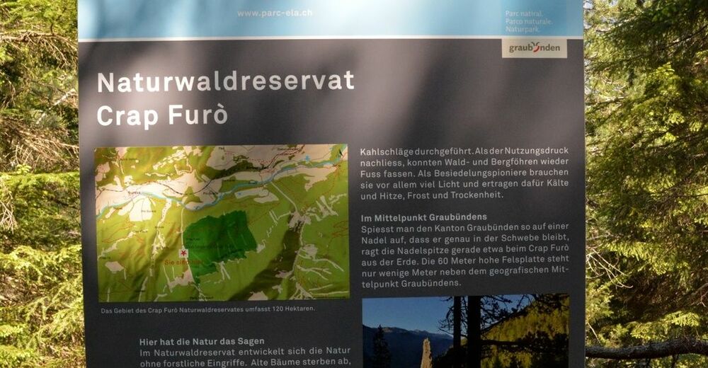
Witness the pioneering efforts of man and nature on the Path of the Pioneers, which takes you to the geographic centre of Graubünden. The Crap Furò natural forest reserve is home to one of the most diverse forests in Switzerland on such a small area.
- Highest point
- 1,229 m
- Endpoint
-
Surava
- Height profile
-
 © outdooractive.com


- Author
-
The tour Path of the Pioneers is used by outdooractive.com provided.
GPS Downloads


General info
A lot of view
Other tours in the regions
-
Val Surses
827
-
Suraua / Lumnezia
172