© Ente Turistico Regionale del Moesano - Christian Vigne
Tour data
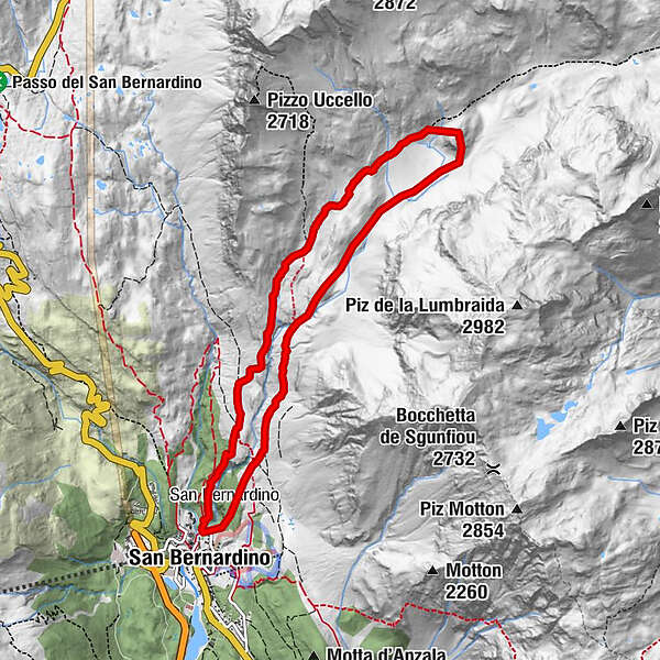
8.69km
1,618
- 2,293m
682hm
686hm
04:05h
- Brief description
-
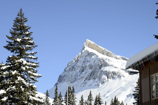
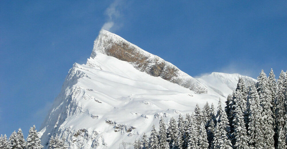
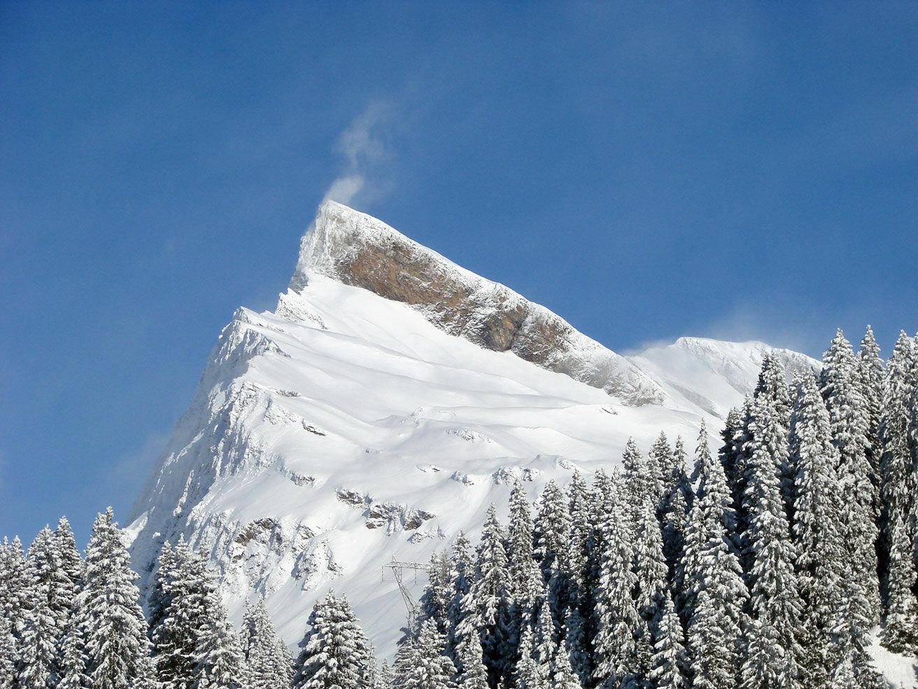
Splendido percorso con partenza da S.Bernardino villaggio che ci porta nella Val Vignun ai piedi del caratteristico Pizzo Uccello
- Difficulty
-
difficult
- Rating
-
- Route
-
San Bernardino (1,626 m)Alla Fonte0.0 kmCassina da Vignun (2,115 m)2.6 kmMotta del Caslasc (2,301 m)4.4 kmSan Bernardino (1,626 m)8.6 kmAlla Fonte8.6 km
- Highest point
- 2,293 m
- Endpoint
-
S.Bernardino villaggio
- Height profile
-
 © outdooractive.com
-

-
AuthorThe tour San Bernardino - Mota de Caslasc is used by outdooractive.com provided.
GPS Downloads


General info
Fauna
A lot of view
Other tours in the regions