- Brief description
-
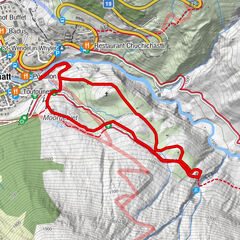
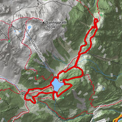
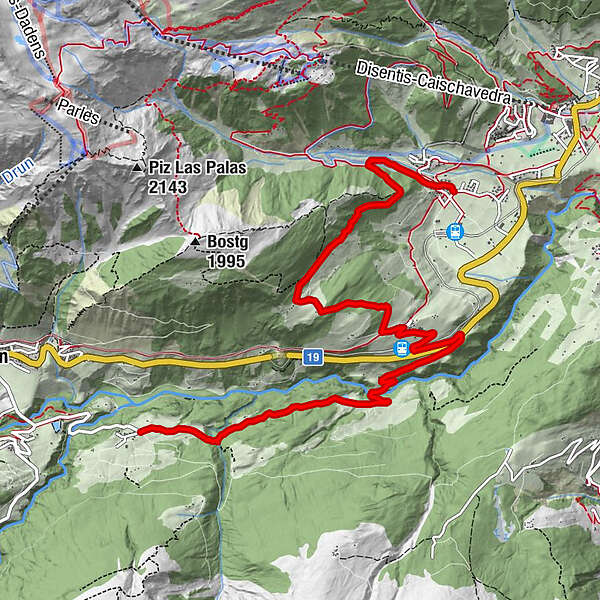
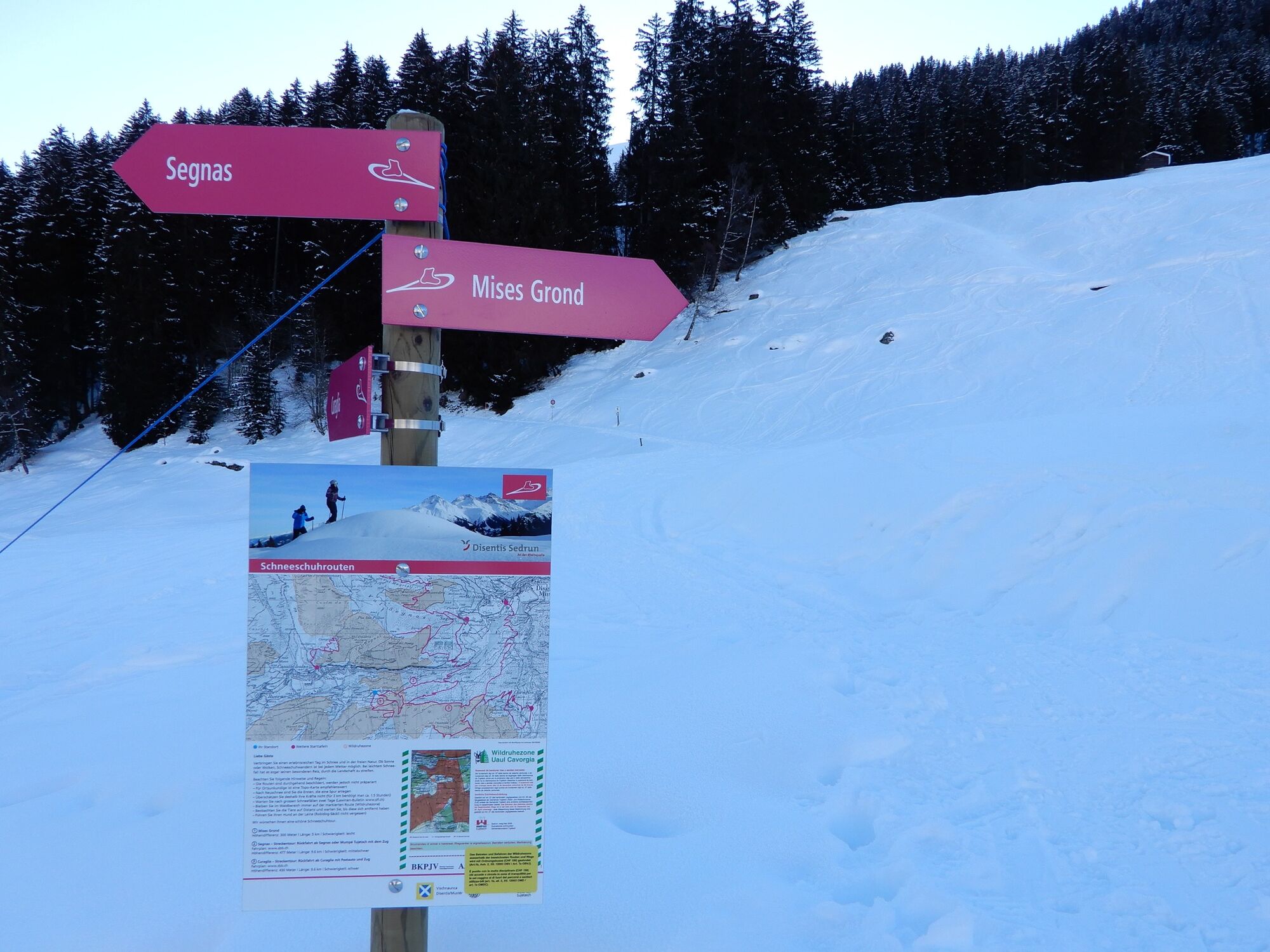
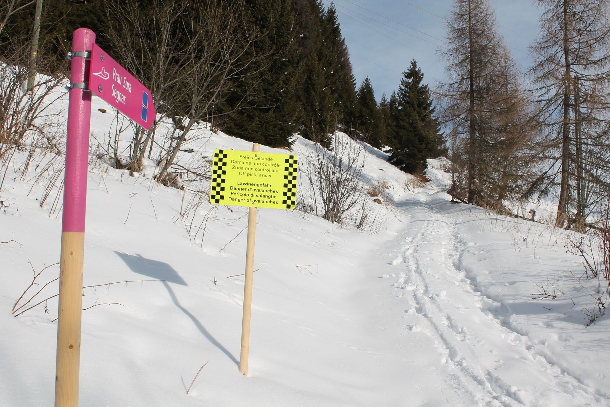
Through the snowy forest from Cavorgia to Segnas (signaled)
- Difficulty
-
medium
- Rating
-
- Route
-
Cavorgia0.0 kmRuosna3.0 kmValzeinza3.4 kmSut il Vitg4.3 kmFoppa4.4 kmMumpé Tujetsch4.9 kmCurschettas5.0 kmPrau Sura6.1 kmPeisel8.5 kmSegnas8.8 km
- Best season
-
AugSepOctNovDecJanFebMarAprMayJunJul
- Description
-
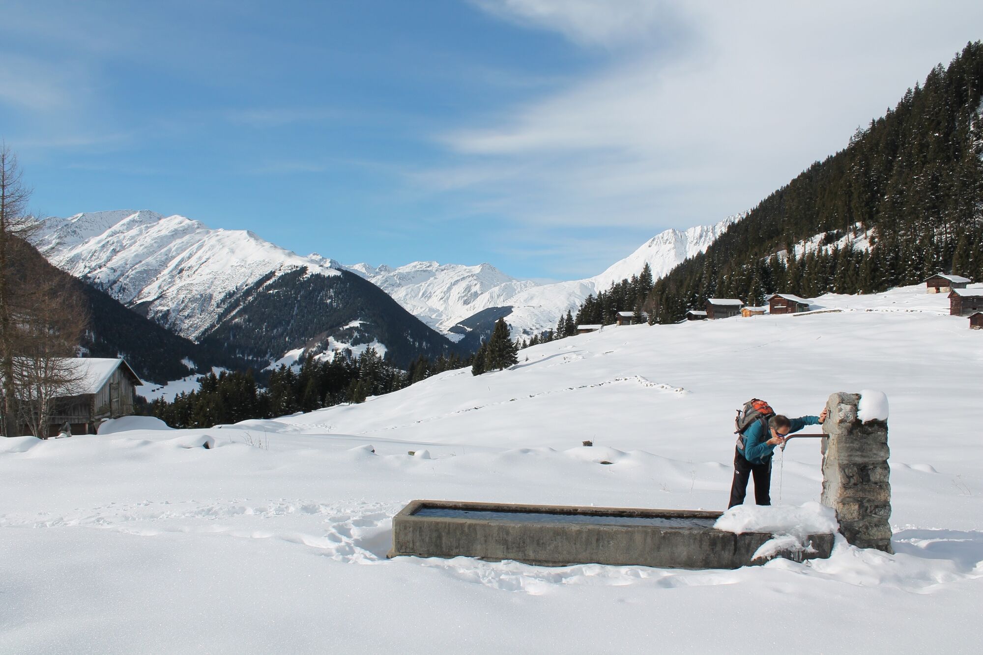
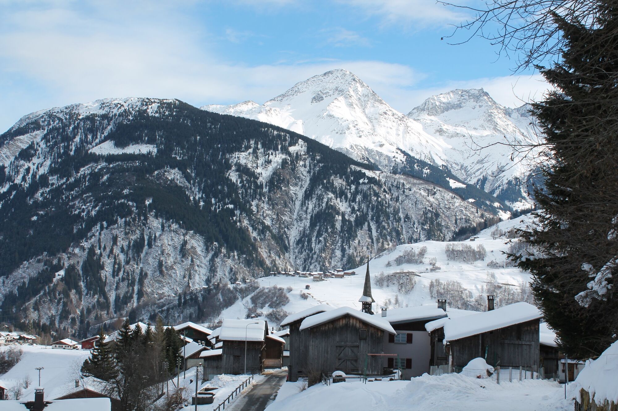
With our snowshoes packed, we hike along the low-traffic road to the village of Cavorgia, which is inhabited all year round. At the end of the lower part of the village we assemble the snowshoes. The path takes us along a snow-covered forest road, initially flat, then slightly sloping down to the snow-covered corn meadows of Mises las Cavorgias. We continue hiking to the lowest point, the bridge over the Rhine, in order to climb up to the main street on the other side. If no one has tracked ahead of us, the climb can take a lot of energy. When we get to the main road, we take off our snowshoes and hike along the cleared road up to Mumpé Tujetsch.
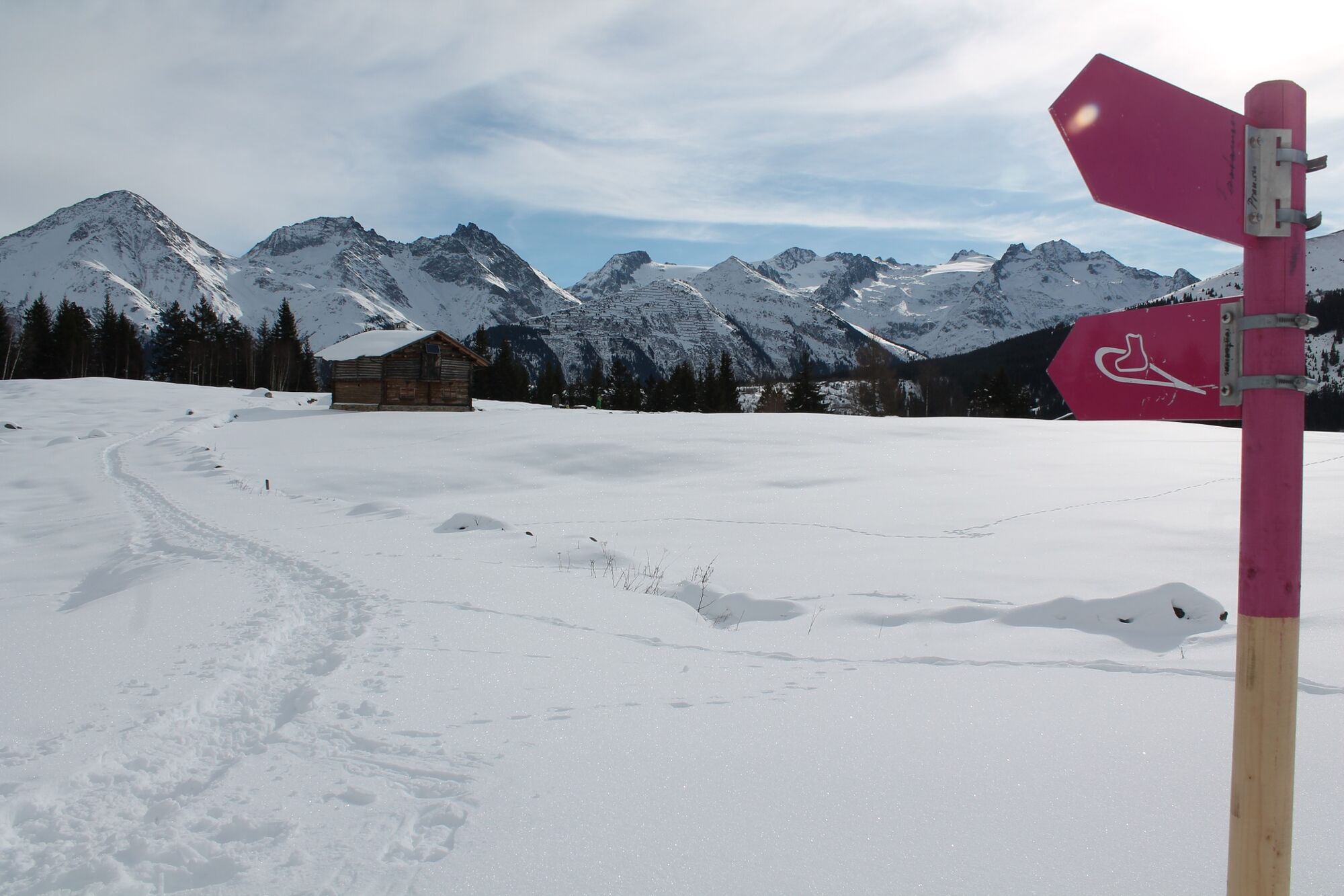
In Curschettas, on the winter hiking trail to Sedrun, we find the continuation of the snowshoe trail to Prau sura, a flat, sunny alp with well-kept May meadows. Leaning against a warm wooden wall, we enjoy the peace and the view of the mountains before we continue the path via the Maiensässe from Run Cunel to Segnas, our destination.
- Highest point
- 1,606 m
- Endpoint
-
Segnas
- Height profile
-
 © outdooractive.com


-

-
AuthorThe tour Cavorgia - Segnas is used by outdooractive.com provided.


General info
-
Uri
131
-
Disentis Sedrun
65
-
Tujetsch
25