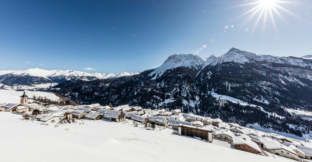


- Brief description
-
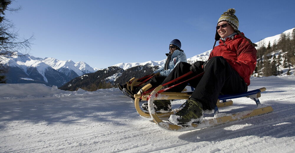
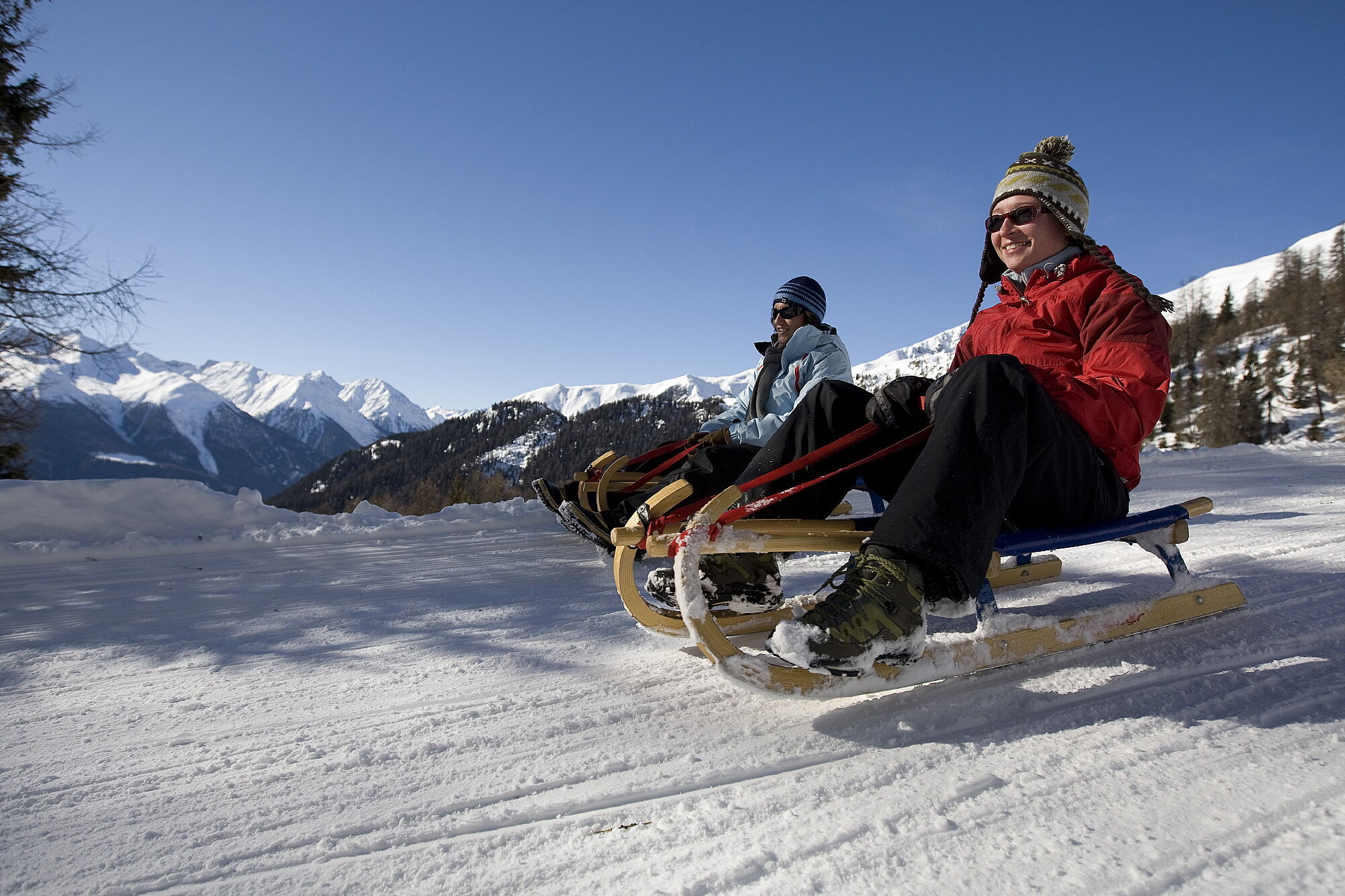
Fast-paced toboggan run with PostBus connection at the start and finish points.
- Difficulty
-
easy
- Rating
-
- Starting point
-
PostBus stop Tschlin, cumün
- Route
-
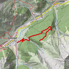
Tschlin (1,533 m)Chaflur2.5 kmStrada2.9 km
- Best season
-
AugSepOctNovDecJanFebMarAprMayJunJul
- Description
-
The start of the toboggan run is at the entrance to the village of Tschlin at the bus stop Tschlin, cumün. The prepared trail heads south towards the main road before taking a left turn and heading towards Val Puntsot. Now you are in the middle of the open terrace below Tschlin. Only one farm passes by. After about 300 m, the toboggan run makes a sharp right turn and leads partly into the forest, partly past the edge of the forest. After 500 m in a south-westerly direction, the trail makes a left turn. Shortly afterwards, four smaller bends follow, which are in open terrain. And so it goes slowly but surely towards the end of the path, which is in front of the bus stop Strada i. E., Cuncalada. From the first bend to the right, the path becomes steeper.
Be careful when crossing the Tschlin motorway. In addition, caution is advised at high speed because of the narrow bends and in front of winter hikers that you might encounter on the trail.
- Directions
-
Walk into the village from the PostBus stop
At the beginning of the toboggan run, follow the prepared path down to the right in a southerly direction
Follow the path
After Chaflur in a slightly south-westerly direction to Strada - Highest point
- 1,477 m
- Endpoint
-
PostBus stop Strada i. E., Cunclada
- Height profile
-
 © outdooractive.com
 - Equipment
-
Sledges, high and sturdy hiking boots or winter boots, warm clothing, sun protection, gloves and helmet recommended.
- Safety instructions
-
The trail is groomed after each snowfall. Please note the condition reports in the winter sports report. The tour was assessed in favourable weather conditions, the current snow and weather conditions must be observed before starting.
Attention:
The trail is used by winter hikers and sledders at the same time.
Emergency call:
144 Emergency call, first aid
1414 Mountain rescue REGA
112 International emergency call
- Tips
-
The Engdin Scuol Zernez holiday region has a lot to offer. We reveal our secret tips to you at engadin.com/secret-tips, but shhh...!
- Additional information
- Directions
-
- From the north: via Landquart – Klosters by car transport through the Vereina Tunnel (Selfranga - Sagliains) or via the Flüela Pass into the Lower Engadine on H27
- From the east: via Landeck / Austria in the direction of St. Moritz on H27
- From the south: via Reschenpass (Nauders-Martina) or Ofenpass (Val Müstair-Zernez) on H27
Tschlin can be reached in 10 minutes by car from the Engadin road H27 at Strada (45 minutes drive from Veraina south portal).
- Public transportation
-
- By Rhaetian Railway (from Chur, Landquart/Prättigau or from the Upper Engadine) hourly to Scuol-Tarasp
- Continue by PostBus to the PostBus stop Tschlin, cumün with change in Strada i. E., Cuncalada
- By PostBus (from Martina, Sent, Ftan or Tarasp) hourly to the PostBus stop Tschlin, cumün
- Parking
-
- Paid parking spaces at the entrance to Tschlin

- Author
-
The tour Tschlin – Strada is used by outdooractive.com provided.