
- Brief description
-
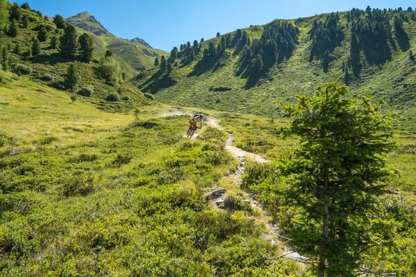
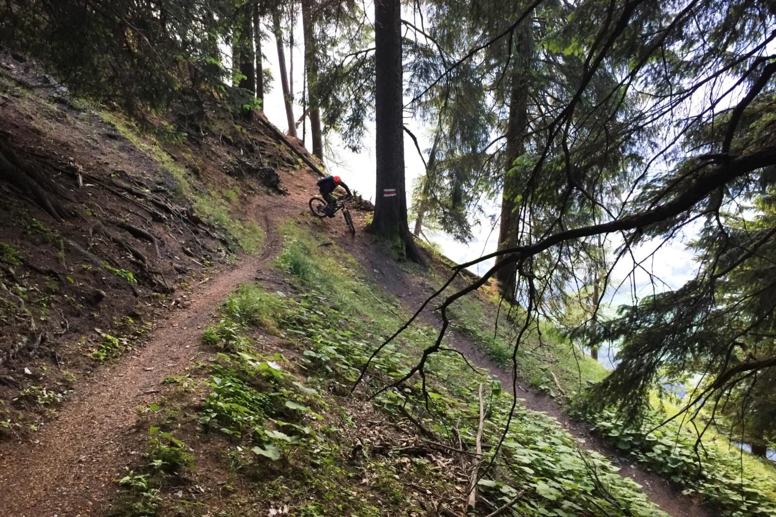
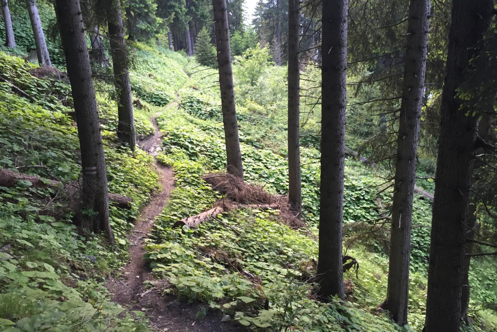
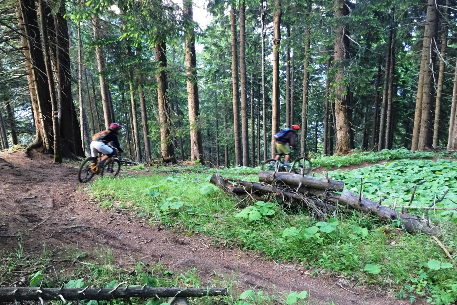
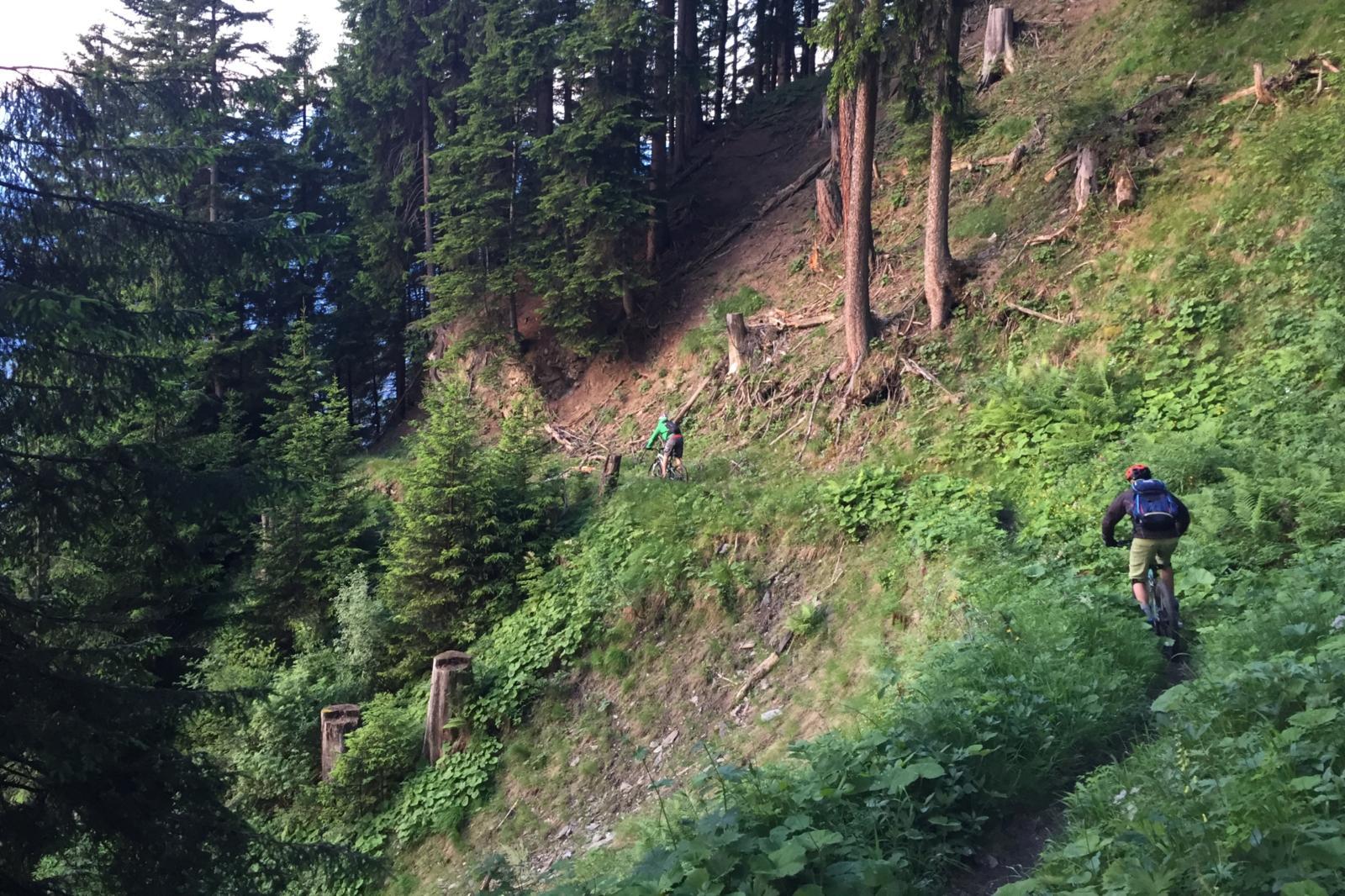
A classical enduro tour with a short uphill and a lot of downhill on very cool single trails.
- Difficulty
-
difficult
- Rating
-
- Starting point
-
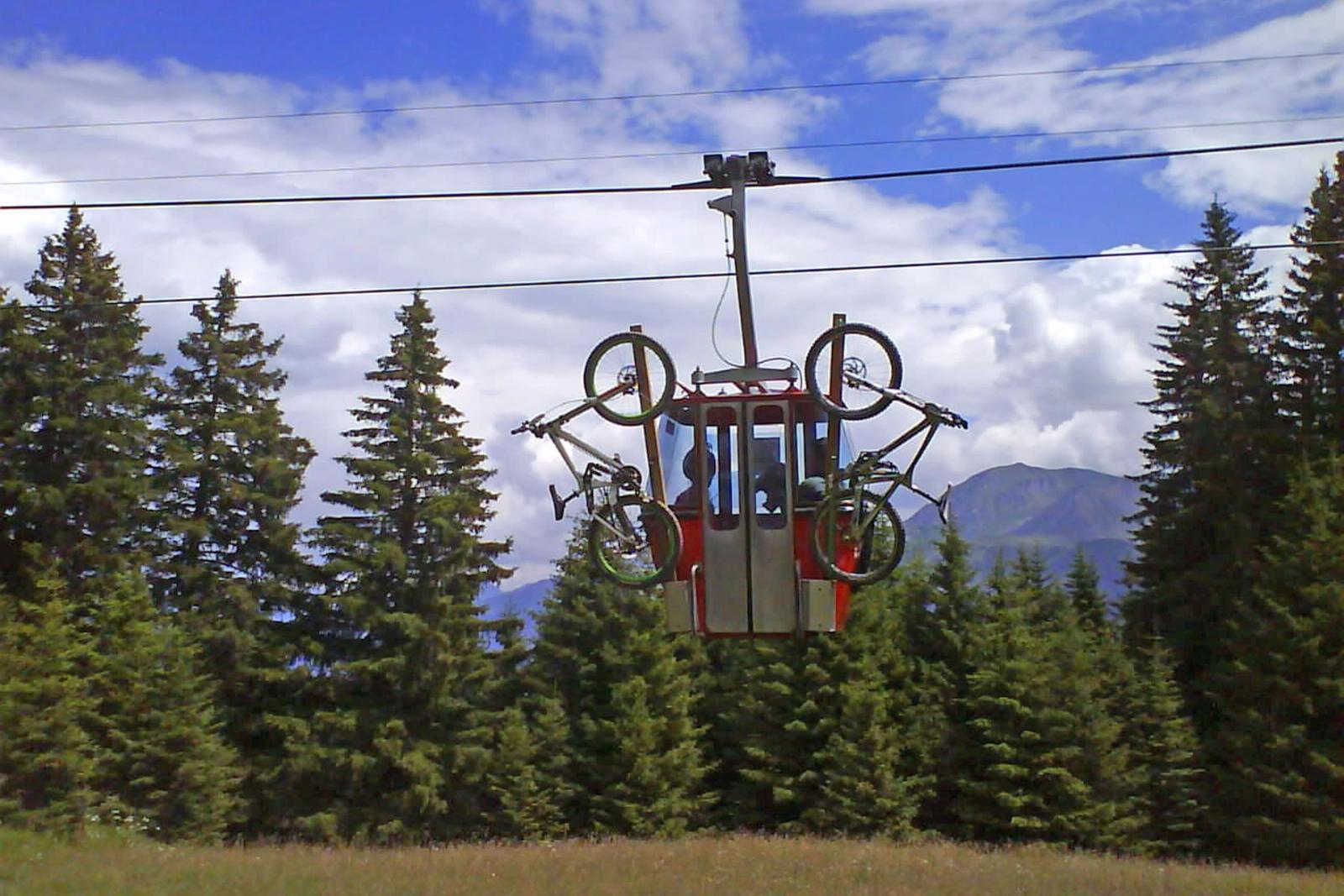
Brambrüesch, top of gondola station
- Route
-
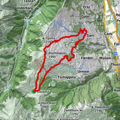
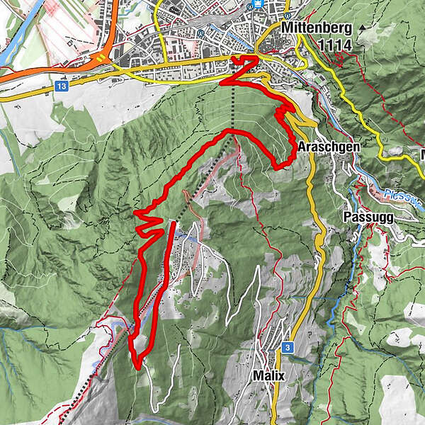
Chur (593 m)Brambrüesch (1,595 m)0.0 kmBrambrüesch0.2 kmberg.baiz0.6 kmEdelweishütte1.7 kmAraschgen8.0 kmRosenhhügel10.4 kmFriedenskirche10.5 kmChur (593 m)10.8 kmChur (Brambrüeschbahn) (595 m)11.0 km
- Best season
-
JanFebMarAprMayJunJulAugSepOctNovDec
- Description
-
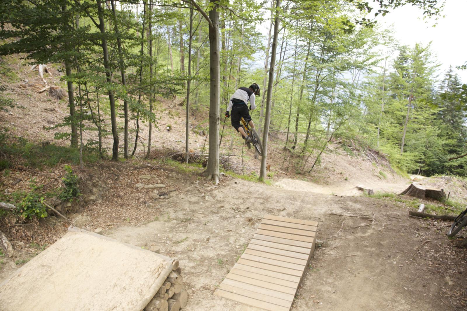
Start at the gondola station in Chur, where rider and bike can enjoy the gondola ride and start fresh at Brambrüesch. After the short uphill to Malixeralp the upper part of the downhill uncovers a hidden trail gem. The lower part then follows the freeride trail «Chur Flow» of the Alpenbikepark Chur. End of the tour at the gondola valley station. If you like, just go for another round....
- Highest point
- 1,756 m
- Endpoint
-
Brambrüesch, top of gondola station
- Height profile
-
 © outdooractive.com
 - Additional information
-

-
AuthorThe tour Endurotour Antennatrail Brambrüesch is used by outdooractive.com provided.
GPS Downloads


Surfaces
Trial
General info
Refreshment stop
Insider tip
Flora
A lot of view
Other tours in the regions
-
Heidiland
336
-
Chur und Rheintal
264
-
Chur - Brambrüesch
100