

- Brief description
-
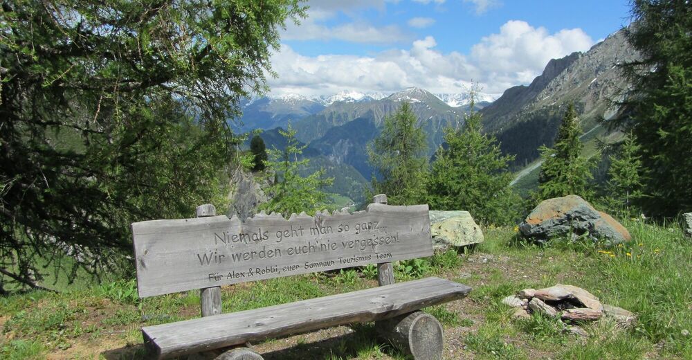
Steadily ascending tour through the Compatsch forest to Fuorcla Curschiglias. Beautiful vistas of the Samnaun valley and Val Sampuoir at the destination. Afterwards return along the same path.
- Difficulty
-
easy
- Rating
-
- Starting point
-
PostBus stop Samnaun-Laret, Abzweigung
- Route
-
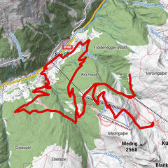
Compatsch (1,715 m)0.0 kmLaret (1,731 m)0.1 kmPlan (1,725 m)2.0 kmPlan (1,725 m)7.7 kmCompatsch (1,715 m)9.8 km
- Best season
-
JanFebMarAprMayJunJulAugSepOctNovDec
- Description
-
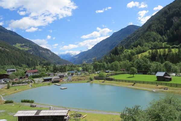
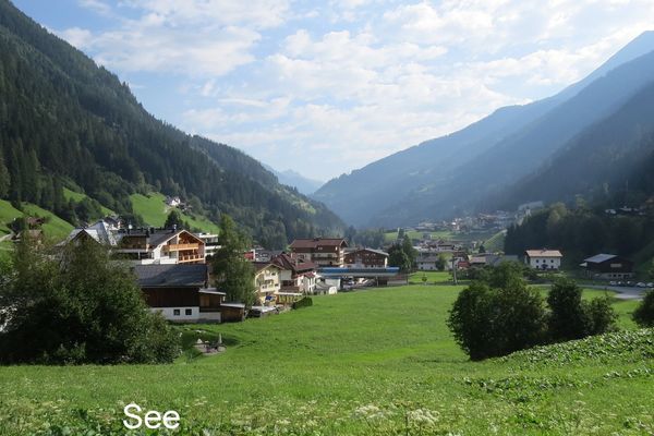
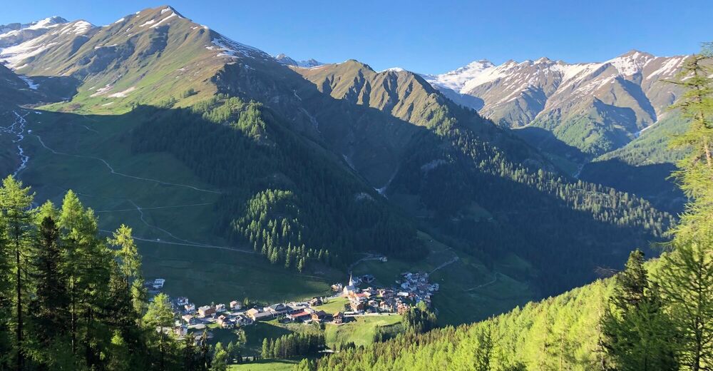
The tour begins with the steady ascent from Samnaun-Laret (1700 m). After crossing the Schergenbach the forest road branches off to the left, past the Werkhof. At the Clis Grond pastures the path branches off toward Fuorcla Curschiglias (2,127 m). The crossing actually leads into Val Sampuoir, but there is no path from here into the neighbouring valley. The forest road continues straight for about 500 metres to point 2142, from where you enjoy a beautiful panoramic view from the Samnaun valley over the Tyrolean mountains to the Mundin massif, Val Sampuoir and Muttler. The return journey follows the same route back to Samnaun-Laret.
- Directions
-
Start in Samnaun-Laret (1700 m), steeply ascending path.
After crossing the Schergenbach turn left
Past the workshop
At Clis Grond branch off to Fuorcla Curschiglias (2127m)
Follow the forest road for about 500m to the 2142m point
Return the same as outward route to Samnaun-Laret - Highest point
- 2,128 m
- Endpoint
-
PostBus stop Samnaun-Laret, Abzweigung
- Height profile
-
 © outdooractive.com
 - Equipment
-
Helmet, gloves, good shoes, glasses, rain and sun protection, water bottle, repair kit, first aid kit
- Safety instructions
-
The tour was evaluated in favourable weather conditions, the current weather conditions and weather forecasts must be imperatively observed before the tour start. This tour does not make any special demands on driving safety and technique.
Emergency call:
144 Emergency call, first aid
1414 Mountain rescue REGA
112 International emergency call
Show consideration when crossing and overtaking hikers. Most of the mountain bike routes in Graubünden run on single trails that are also signposted as hiking trails. Hikers always have the right of way.
- Additional information
- Directions
-
- From the north: via Landquart - Klosters by car transport through the Vereina tunnel (Selfranga - Sagliains). Then take the H27 in the direction of Scuol and Martina to Vinadi. At the Vinadi junction continue to Samnaun (approx. 1 hour from Vereina south portal).
- From the east: via the Inntalstrasse B180 via Landeck to Pfunds, junction Kajetansbrücke and via Spiss to Samnaun.
- From the south: via Reschenpass (Nauders) on B180 to Pfunds, junction Kajetansbrücke and via Spiss to Samnaun.
Please note: If you are travelling to Samnaun, you will need a valid travel document (passport, ID), as you will pass through customs in Martina or Spissermühle.
- Public transportation
-
- By Rhaetian Railway (from Chur, Landquart/Prättigau or from the Upper Engadine) hourly to Scuol-Tarasp station.
- Continue by PostBus (from Scuol-Tarasp or Martina, Cunfin) hourly to PostAtuo stop Samnaun-Laret, junction
- In Samnaun during the day hourly service with the Samnaunbus
- Parking
-
Free parking in Samnaun village (Chasa Riva, Musella or Votlas)


- Author
-
The tour Samnaun-Laret – Fuorcla Curschiglias is used by outdooractive.com provided.