© Surselva Tourismus AG - Silvan Gabriel


- Brief description
-
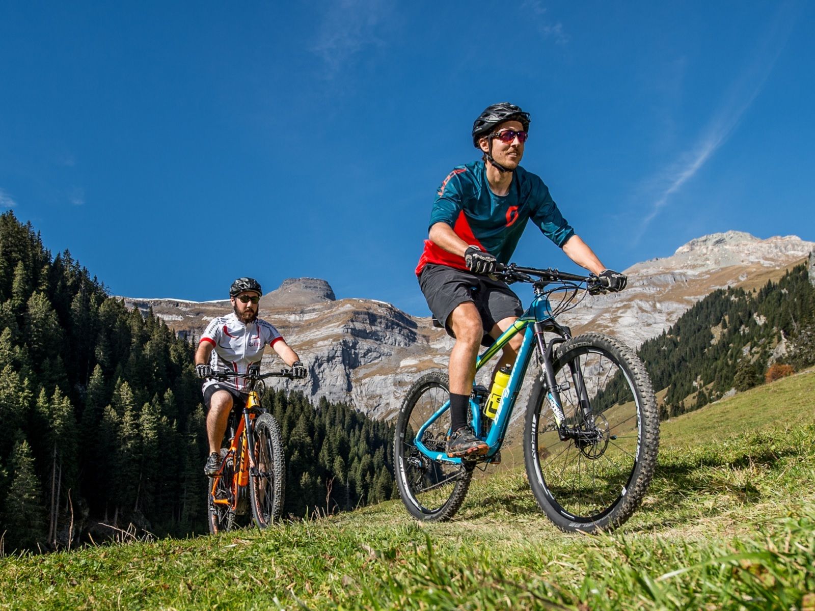
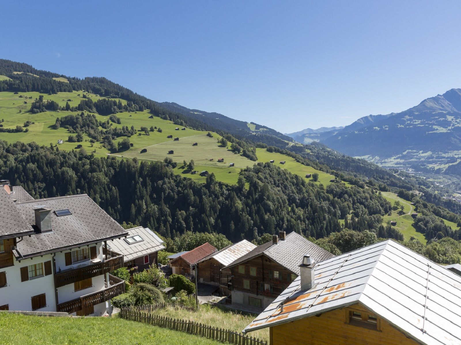
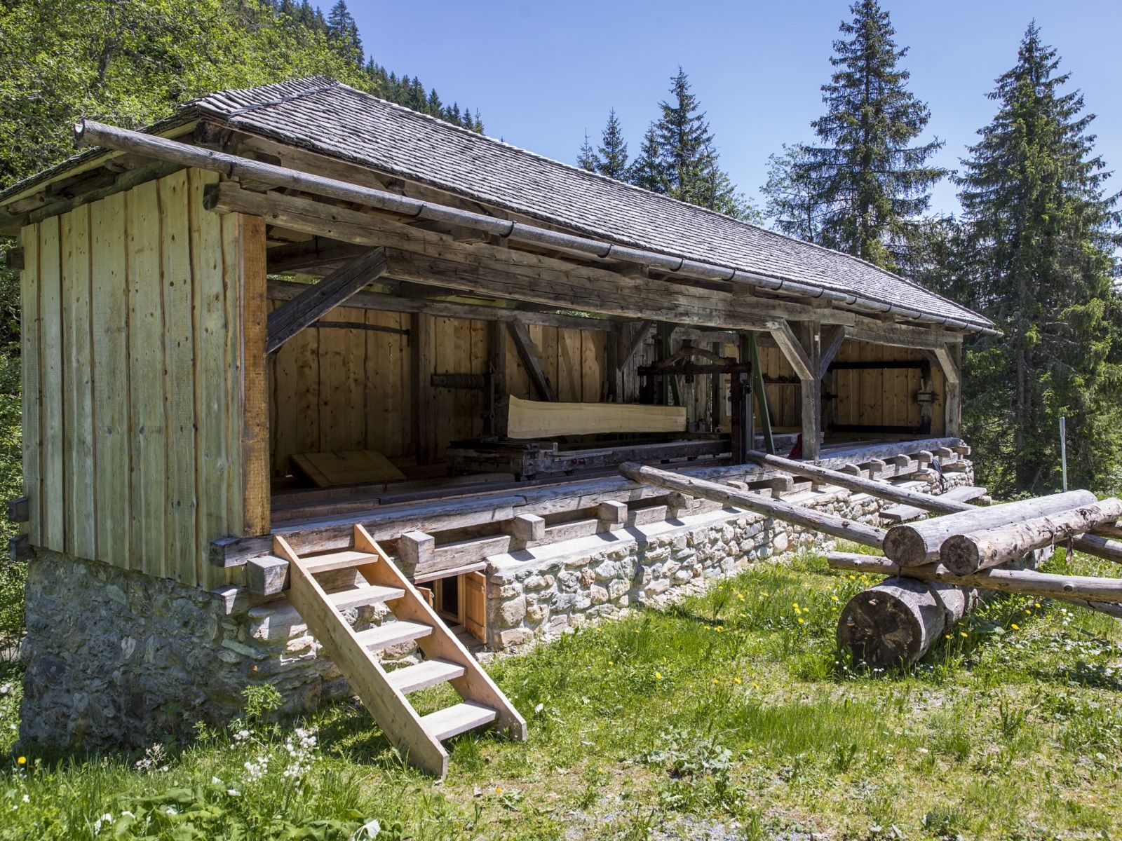
Bike-Tour mit wunderbarem Panorama und kulturellem Schatz.
- Difficulty
-
medium
- Rating
-
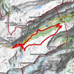
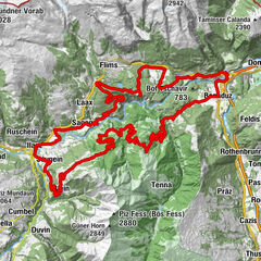
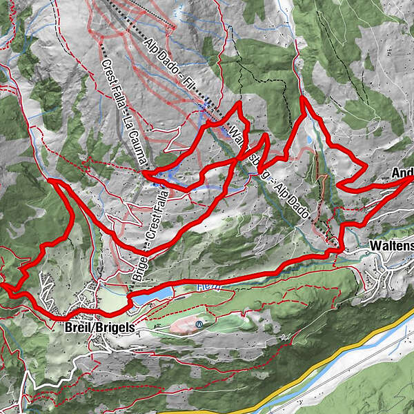
- Route
-
Darums2.8 kmCurtginet (1,102 m)3.0 kmUstria Curtginet3.0 kmPostigliun4.2 kmSur Begls4.3 kmKapelle Sogn Antoni von Padua4.4 kmAndiast (1,178 m)4.5 kmCasa12.1 kmMadinauls13.2 kmPlumarscha14.9 kmPrau Tgierv15.8 kmBass16.3 kmSt. Jakob20.7 kmBrigels (1,280 m)21.3 km
- Best season
-
JanFebMarAprMayJunJulAugSepOctNovDec
- Highest point
- 1,805 m
- Endpoint
-
Talstation Bergbahnen Brigels
- Height profile
-
 © outdooractive.com
-

-
AuthorThe tour Gneida (Cross Country) is used by outdooractive.com provided.
GPS Downloads


General info
Fauna
Other tours in the regions