
- Brief description
-
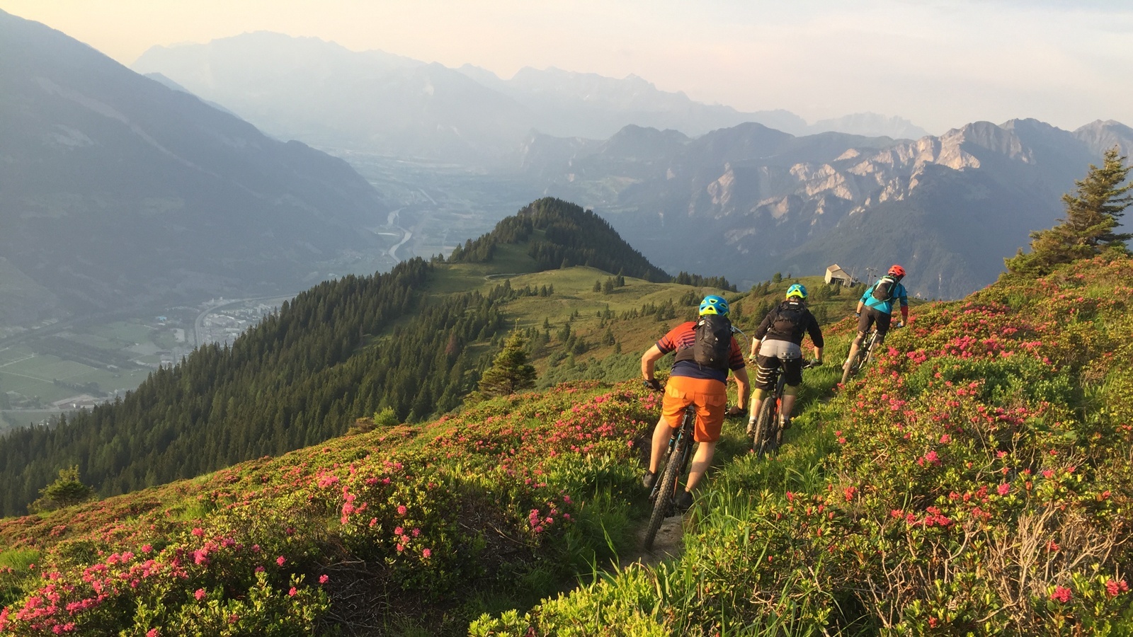
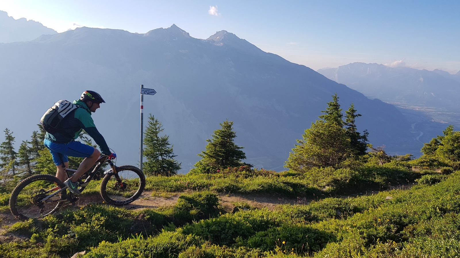
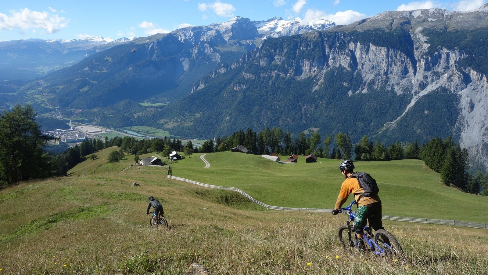
This multifaceted and partly challenging day tour has all, what makes mountainbiking so special. The panorama trail with the crash site of "Lady Patricia" is also known as "Bomber Trail".
- Difficulty
-
difficult
- Rating
-
- Starting point
-
Chur, train station
- Route
-
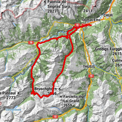
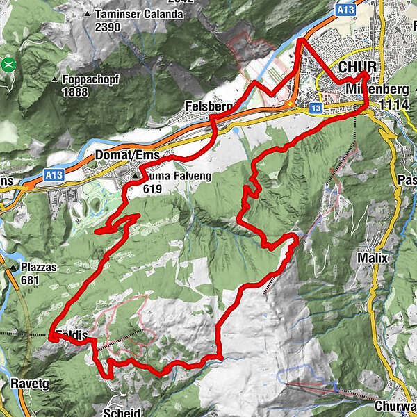
Giufs (1,378 m)2.0 kmBerghaus Juchs2.1 kmKornquader7.6 kmRosenhhügel8.2 kmFriedenskirche8.4 kmChur (585 m)9.1 kmChur (593 m)9.5 kmRestaurant Calanda15.2 kmFelsberg (572 m)15.4 kmEms (586 m)18.2 kmSamun23.4 kmVerenakapelle23.5 kmCulms Bels24.3 kmRestaurant Mira-Tödi27.6 kmFeldis (1,470 m)27.6 kmPlaun digls Mats32.2 kmAlp d'il Plaun34.3 kmHühnerköpfe37.7 kmBerghaus Juchs40.8 kmGiufs (1,378 m)40.8 km
- Best season
-
JanFebMarAprMayJunJulAugSepOctNovDec
- Description
-
This challenging round tour starts at the northern side of the Chur railway station. Through the villages of Felsberg and Domat/Ems you reach the golf course in Domat/Ems. That's where the ascent starts. The mountain road is quite steep and it will take you some power to reach the mountain village of Feldis at 1'500 m. This is the perfect place to recharge your batteries in one of the restaurants.
From Feldis, continue on the level street in direction of Scheid. At point 1498 the next as-cent begins. Follow the paved mountain road up to the Alp di Plaun on 1953 m. At this point you can decide, whether you want to continue on the «Lady Patricia Trail» to Brambrüesch, or branch off and ascent to the Dreibündenstein. To continue on the here suggested route, follow the hiking trail to the ski hut Term Bel, turn right there and after 200 meters the trail branches off to the left side (follow the signal «Lady Patricia»). Before you reach the high route, the ascent continues and in the end you have to push your bike for appr. 10-15 minutes. When you have finally reached the height, a very panoramic and quite technical single track lies before you.
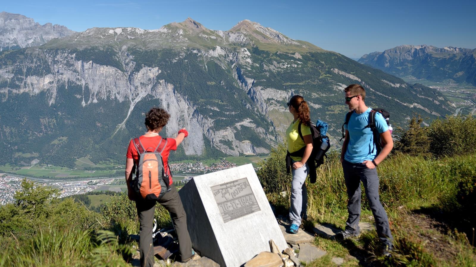
In the middle of the high route, you will find a memorial stone, where 1944 a US bomber has crashed into the mountain. The narrow single track traverses below of the Dreibündenstein. After that part, you come to enjoy the flow on the descent to Spundis. There, the trail branches off to the left and runs fluently at first, later more technical, to the Alp Juchs. From there, the trail continues demanding and challenging, before the last part of the descent will take you with a lot of flow back into the Alpine City of Chur.
- Highest point
- 2,038 m
- Endpoint
-
Chur, train station
- Height profile
-
 © outdooractive.com
 - Additional information
-
This route can be cycled in both directions. If you want to save some meters in height, you can either take the gondola from Chur to Brambrüesch and cycle the route in reverse direction - or cycle or take the Rhaetian Railway to Rhäzüns and from there take the gondola up to Feldis.
-

-
AuthorThe tour Dreibündenstein (Lady Patricia) is used by outdooractive.com provided.


Surfaces
General info
-
Heidiland
336
-
Chur und Rheintal
264
-
Felsberg
80