


- Brief description
-
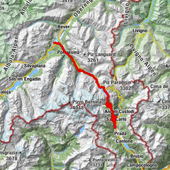
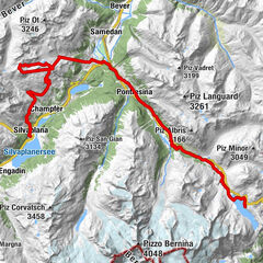
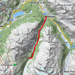
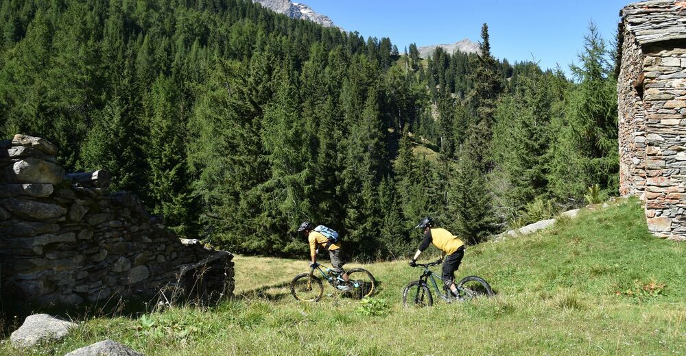
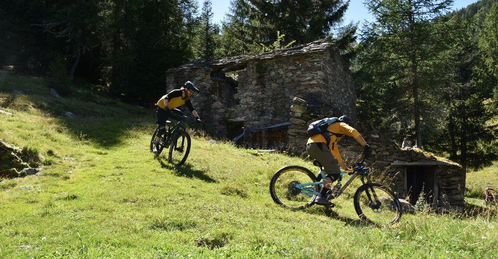
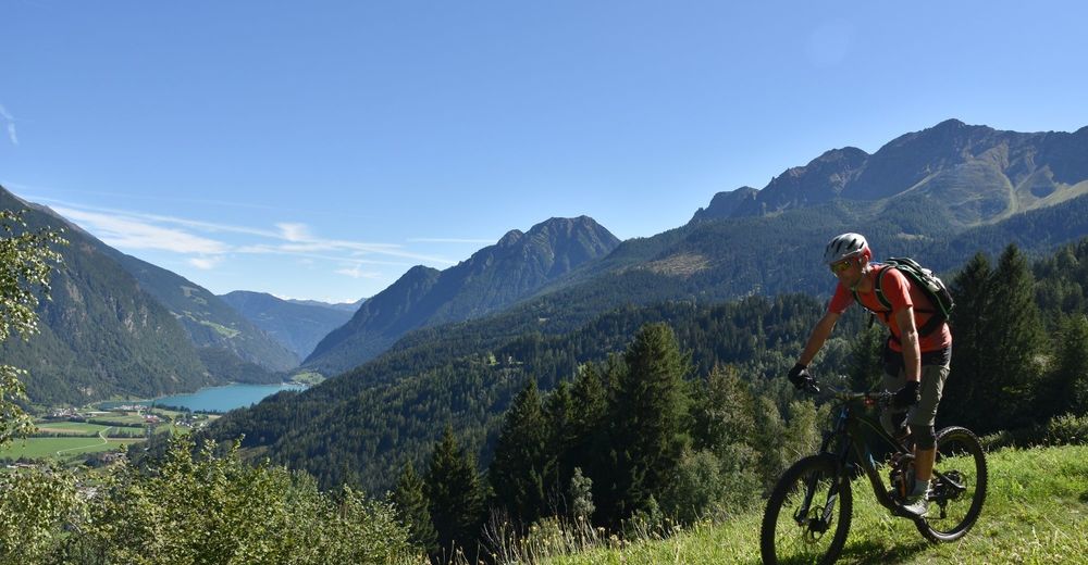
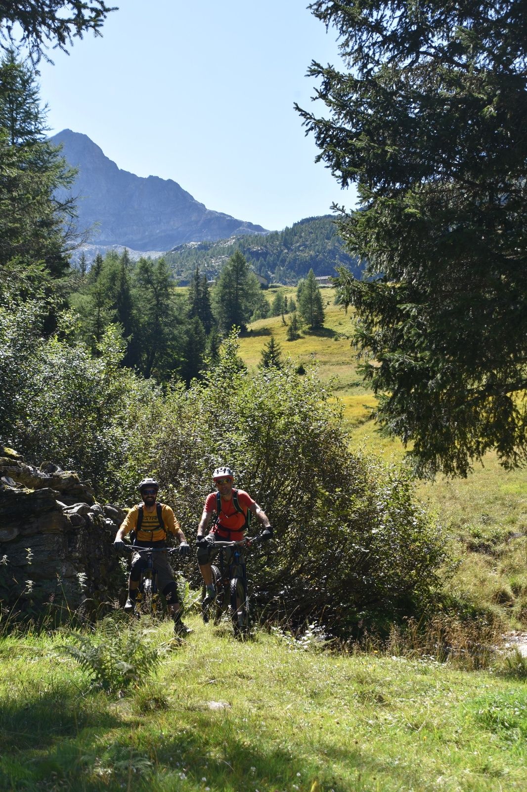
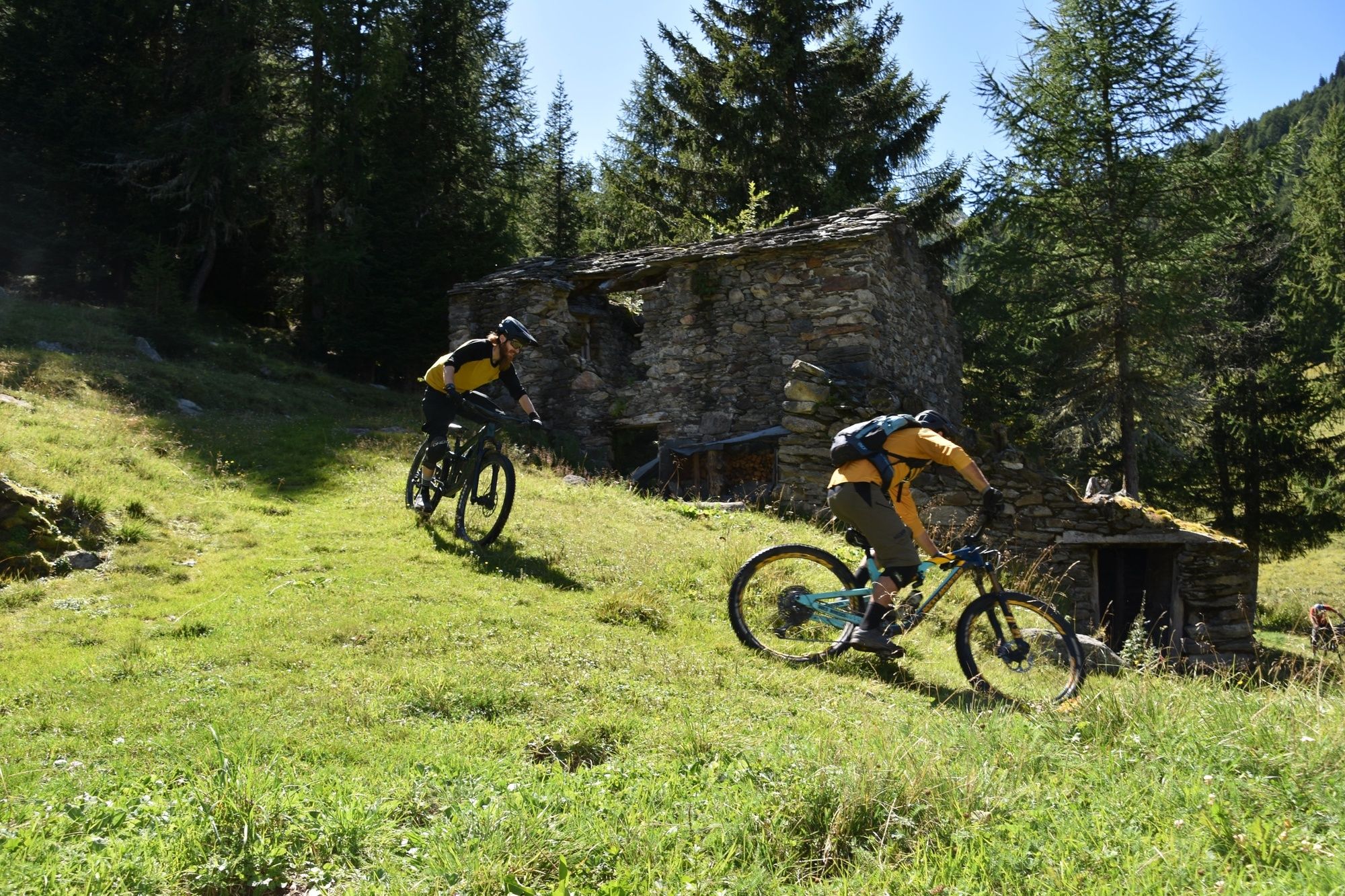
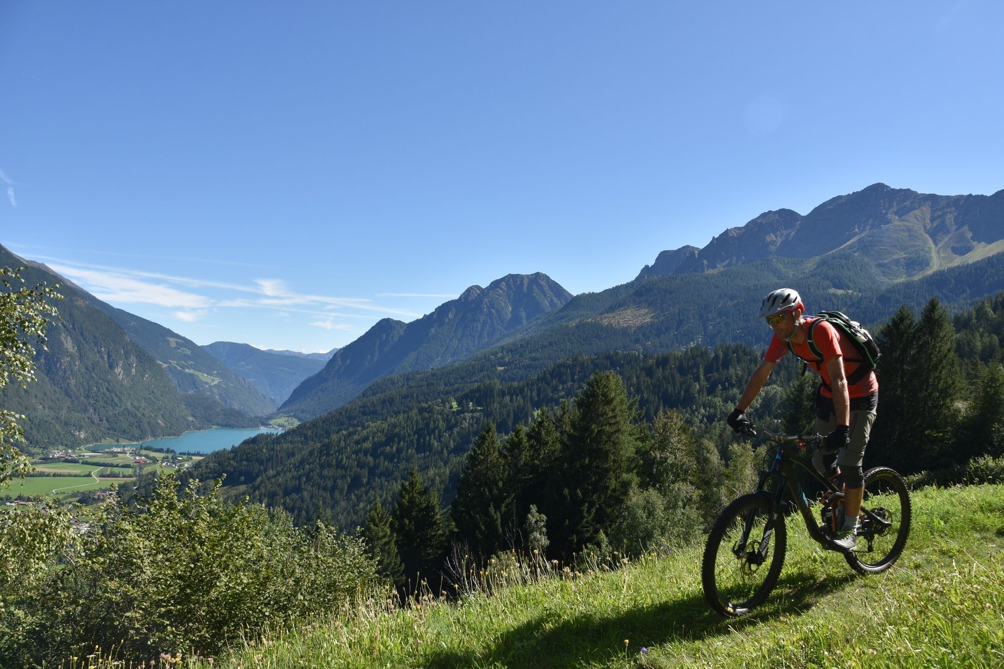
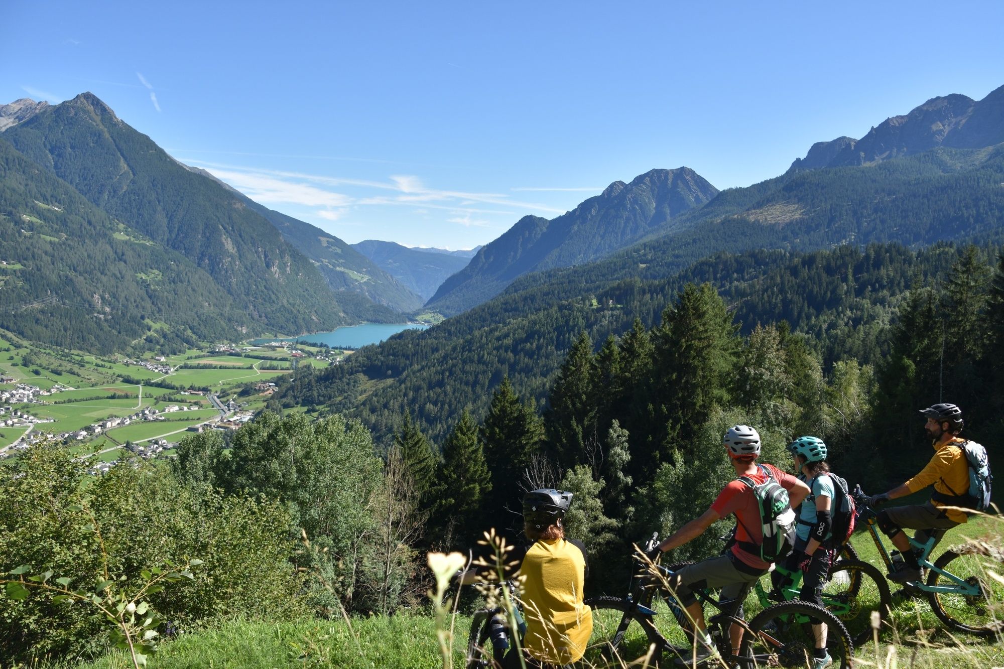
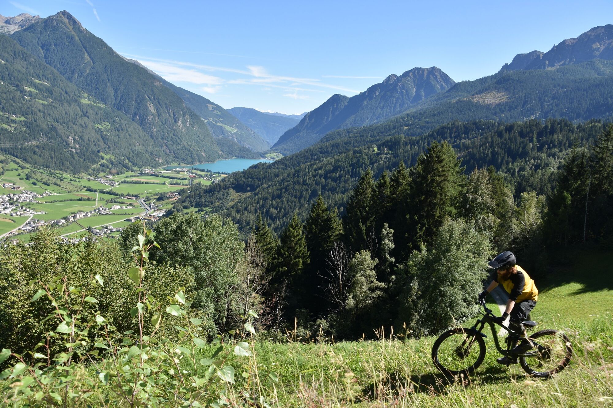
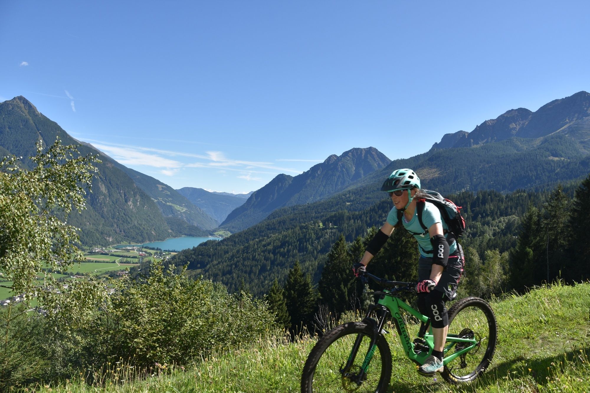
Historischer Weg, Start bei 2000 m.ü.M., technisch nicht sehr anspruchsvoll, eindrückliche Abfahrten, nie langweilig.
- Difficulty
-
difficult
- Highest point
- 1,998 m
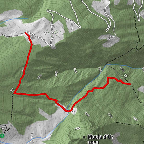
- Height profile
-
 © outdooractive.com


- Author
-
The tour Pradel - Via Vegia is used by outdooractive.com provided.
GPS Downloads


Other tours in the regions
-
Veltlin / Valtellina
204
-
Puschlav / Valposchiavo
197
-
Puschlav
44