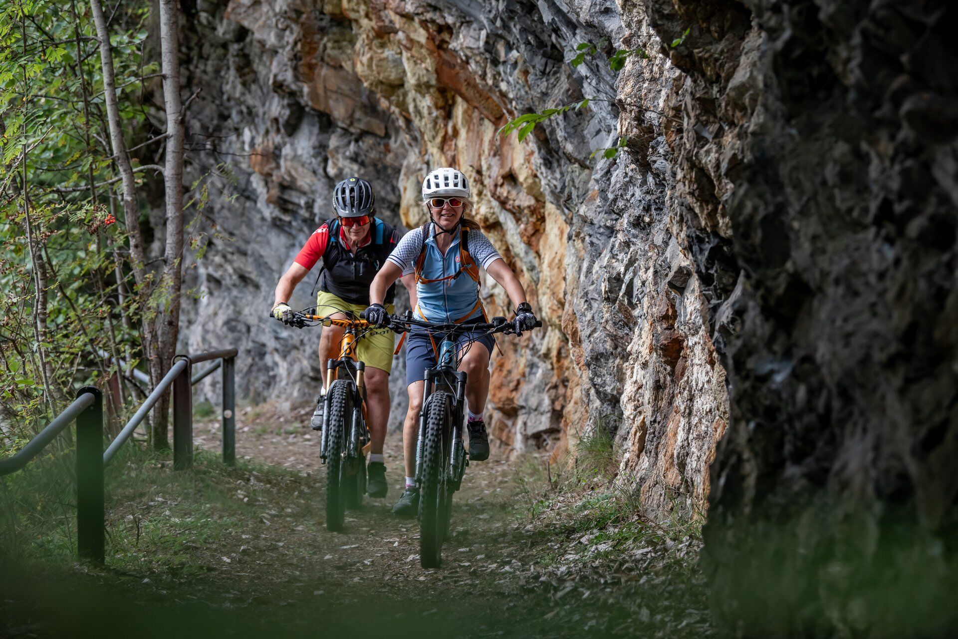
© Surselva Tourismus AG - M. Walther

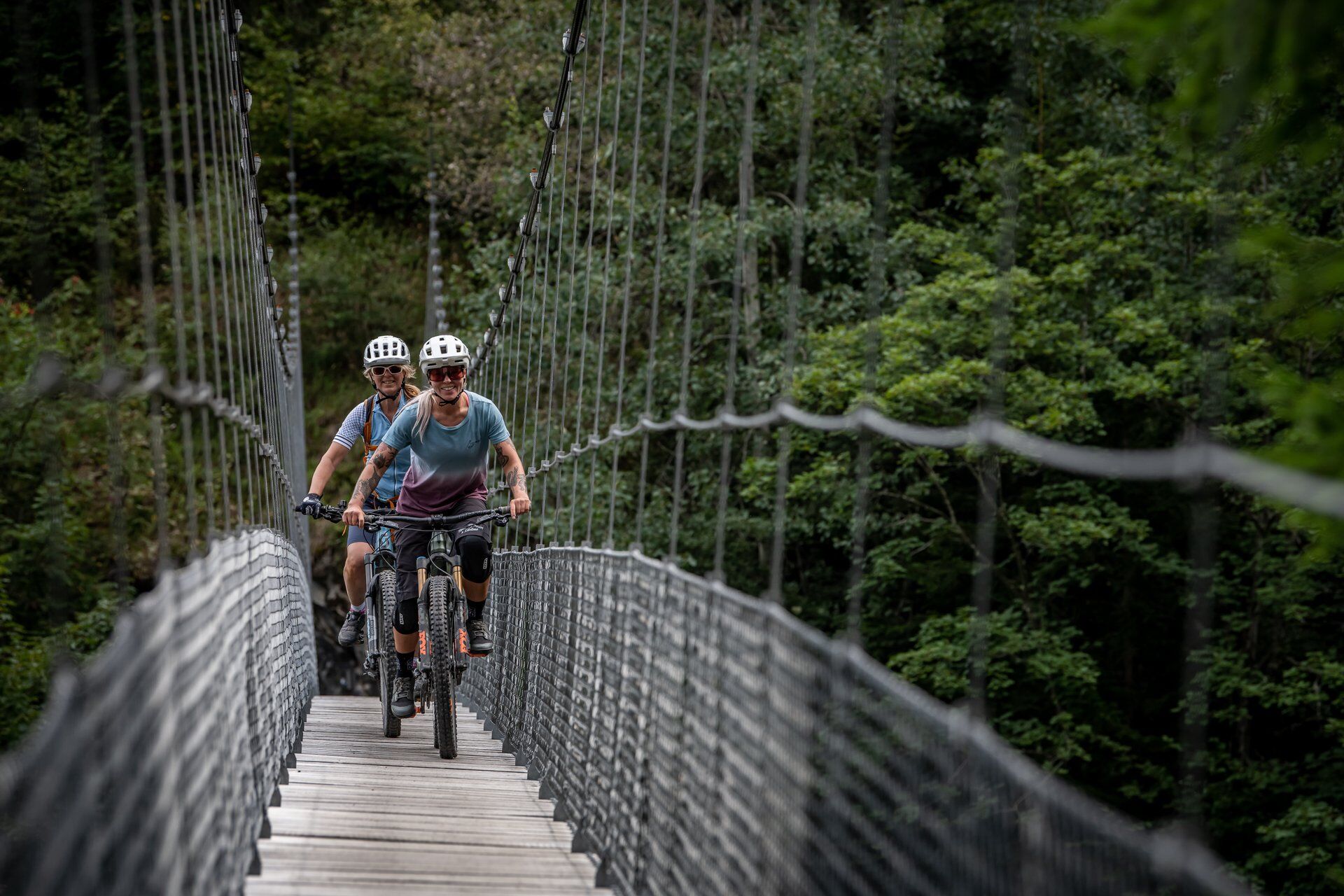
© Surselva Tourismus AG - Dani Ammann

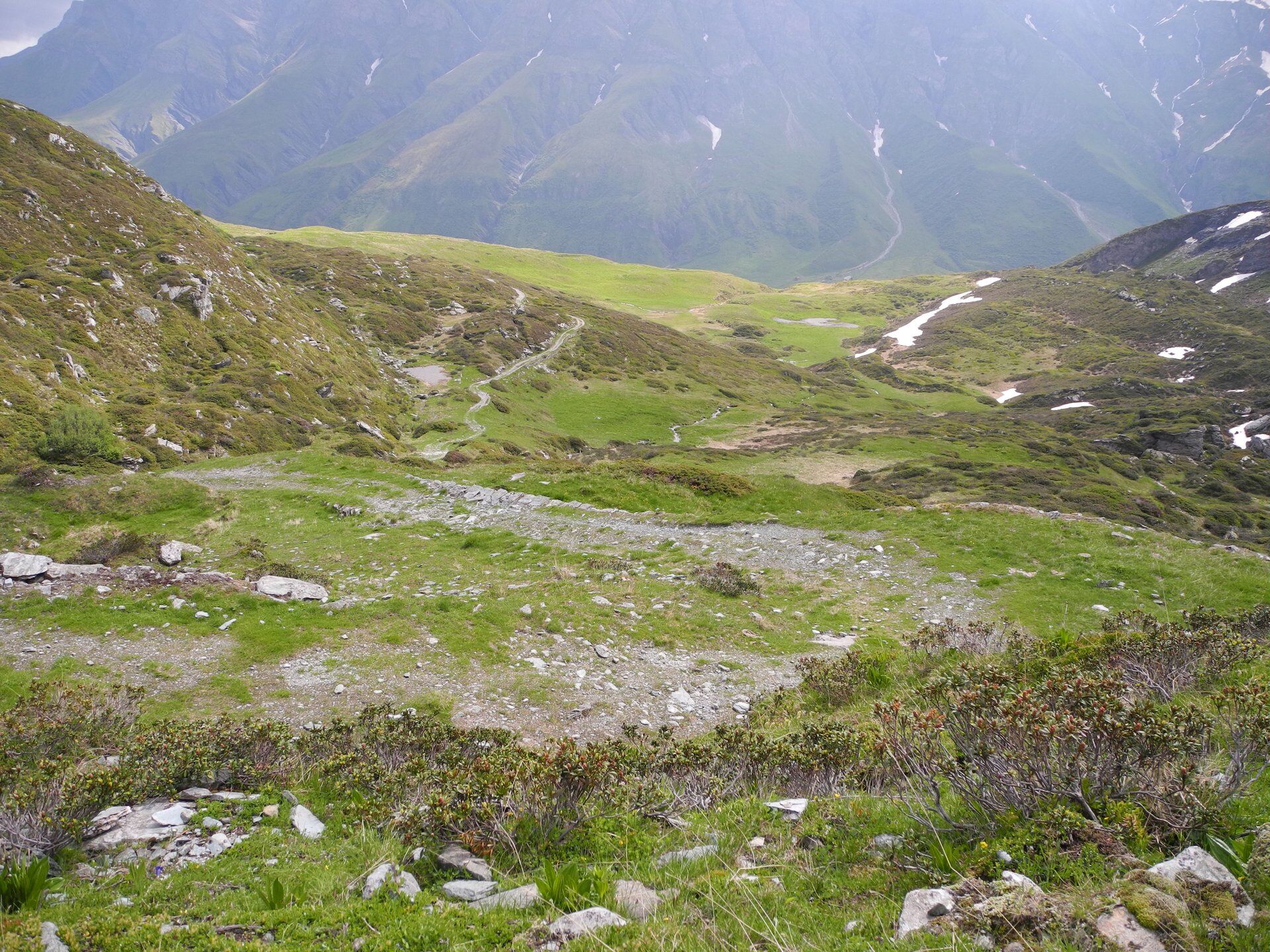
© Surselva Tourismus AG - Cordula Seiler

© Surselva Tourismus AG - Cordula Seiler

© Surselva Tourismus AG - Cordula Seiler

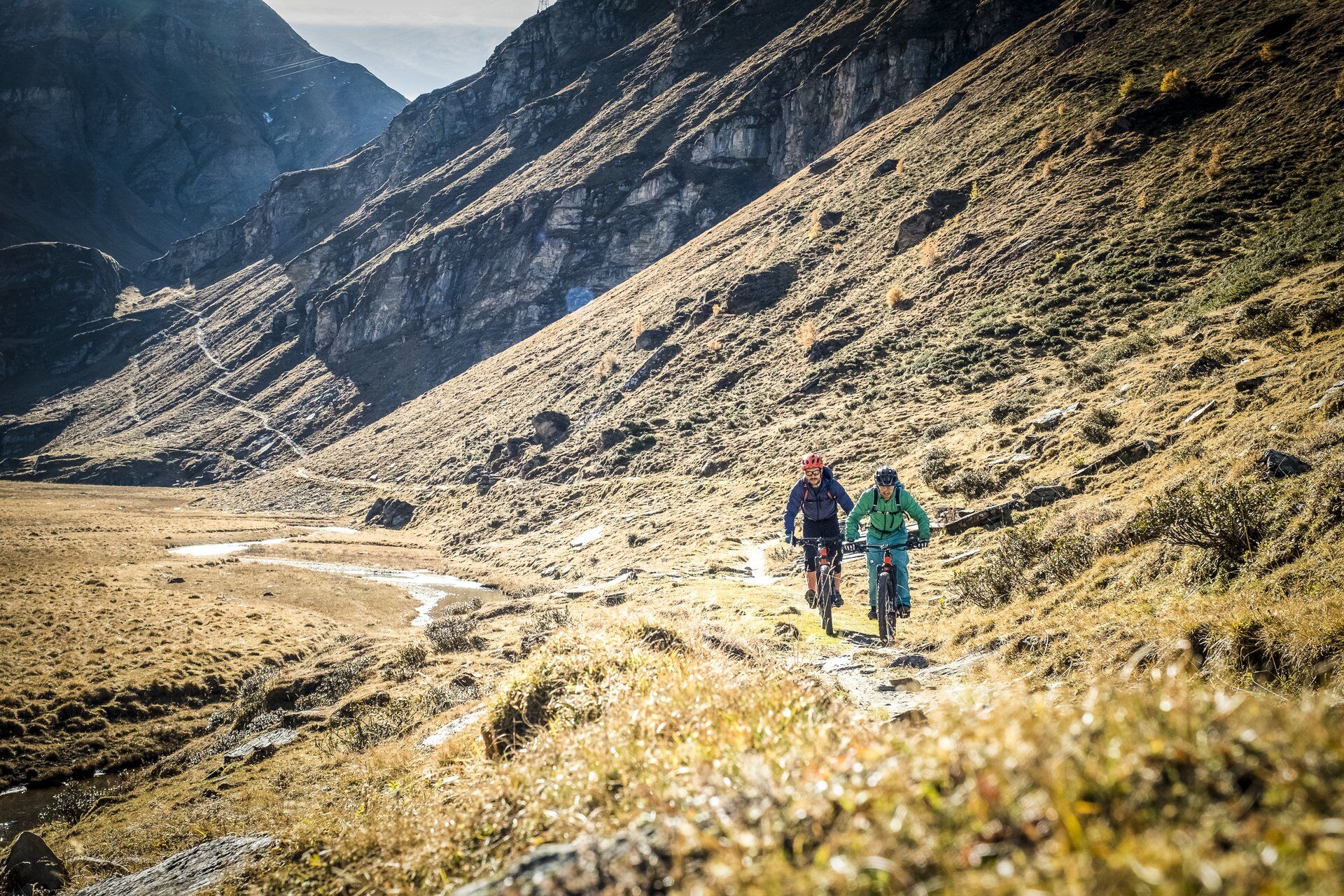
© Surselva Tourismus AG - Dani Ammann

© Surselva Tourismus AG - Dani Ammann

© Surselva Tourismus AG - Dani Ammann

© Surselva Tourismus AG - Dani Ammann

© Surselva Tourismus AG - Naturpark Beverin
- Brief description
-
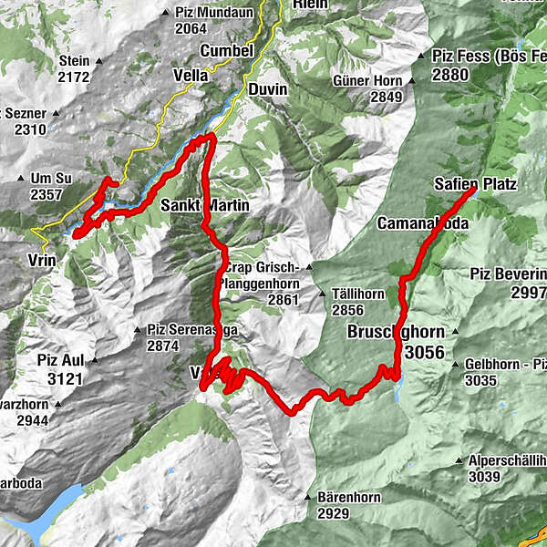
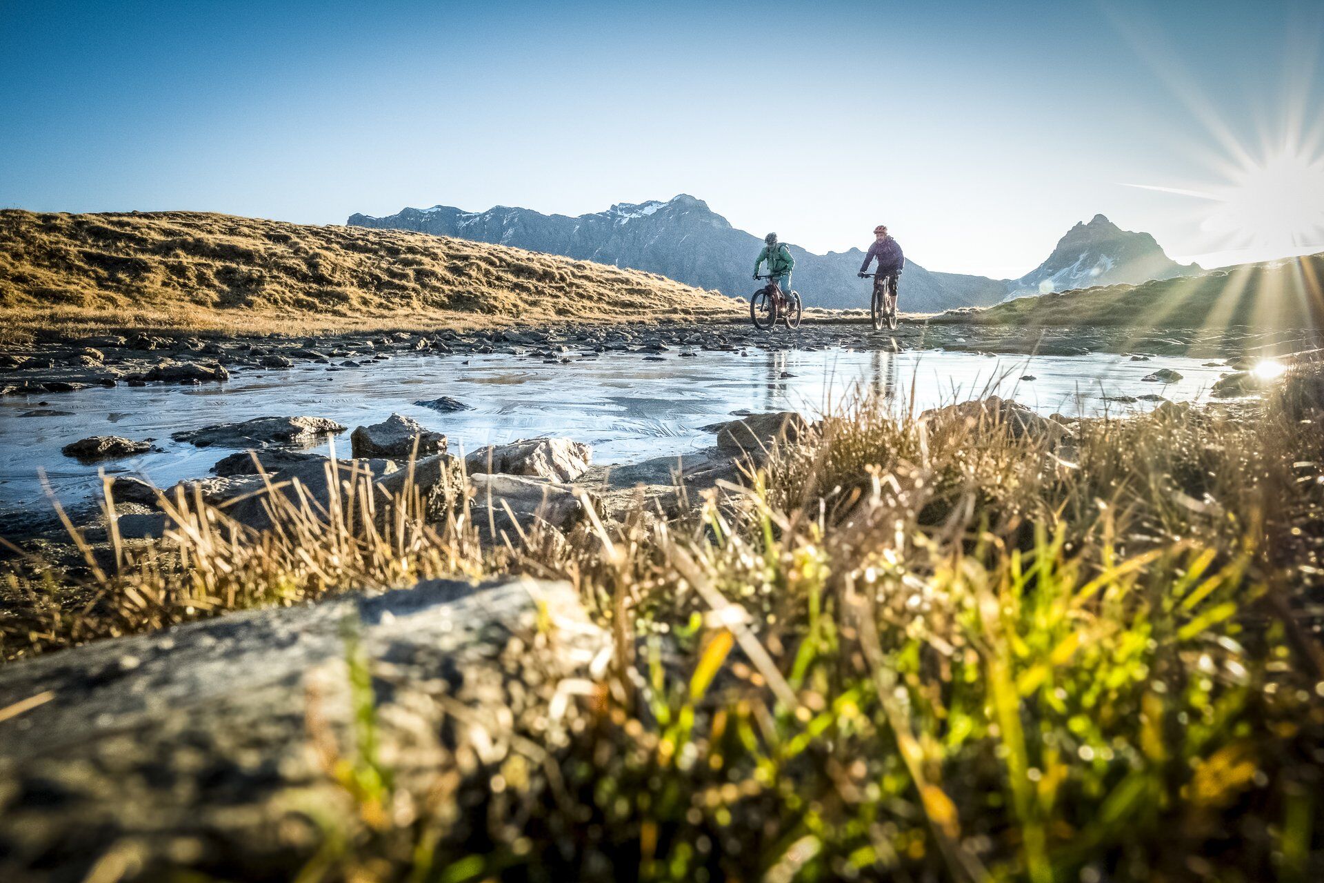
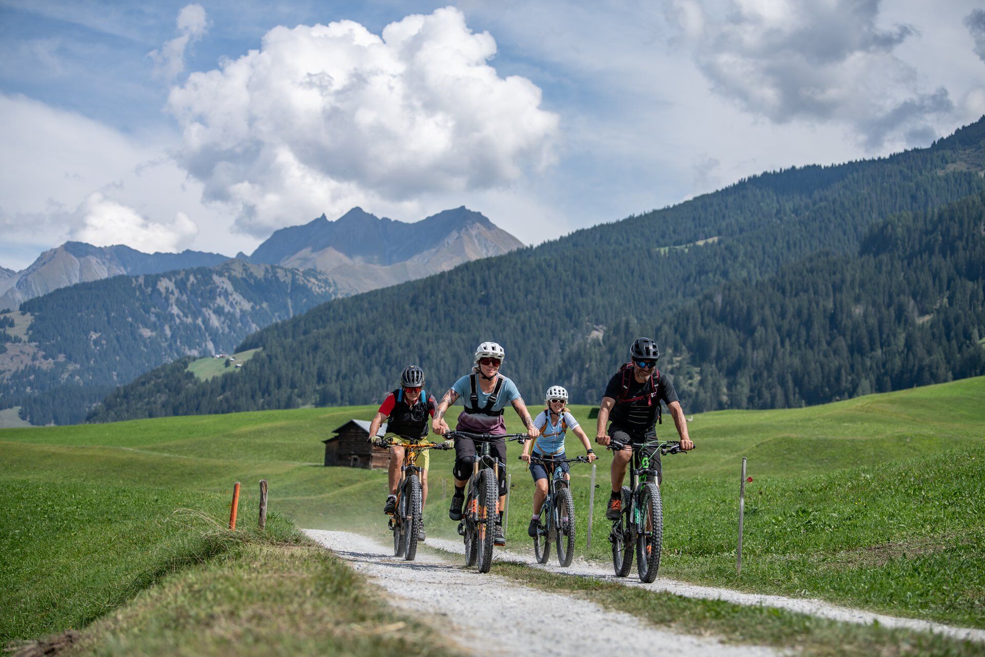
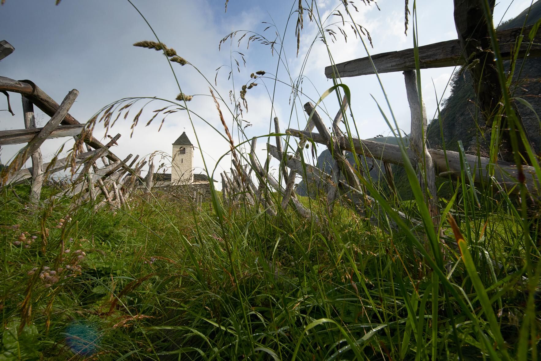
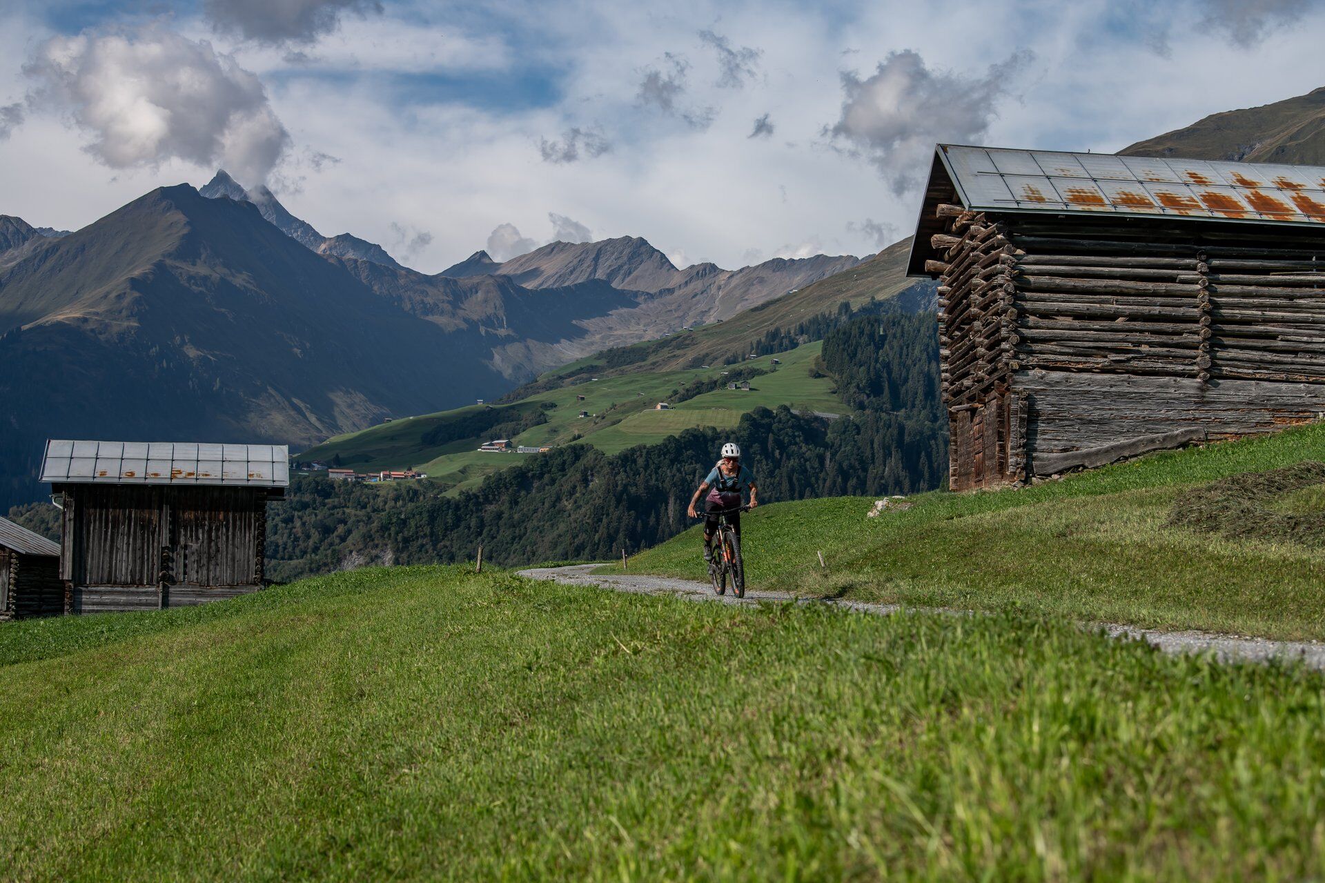
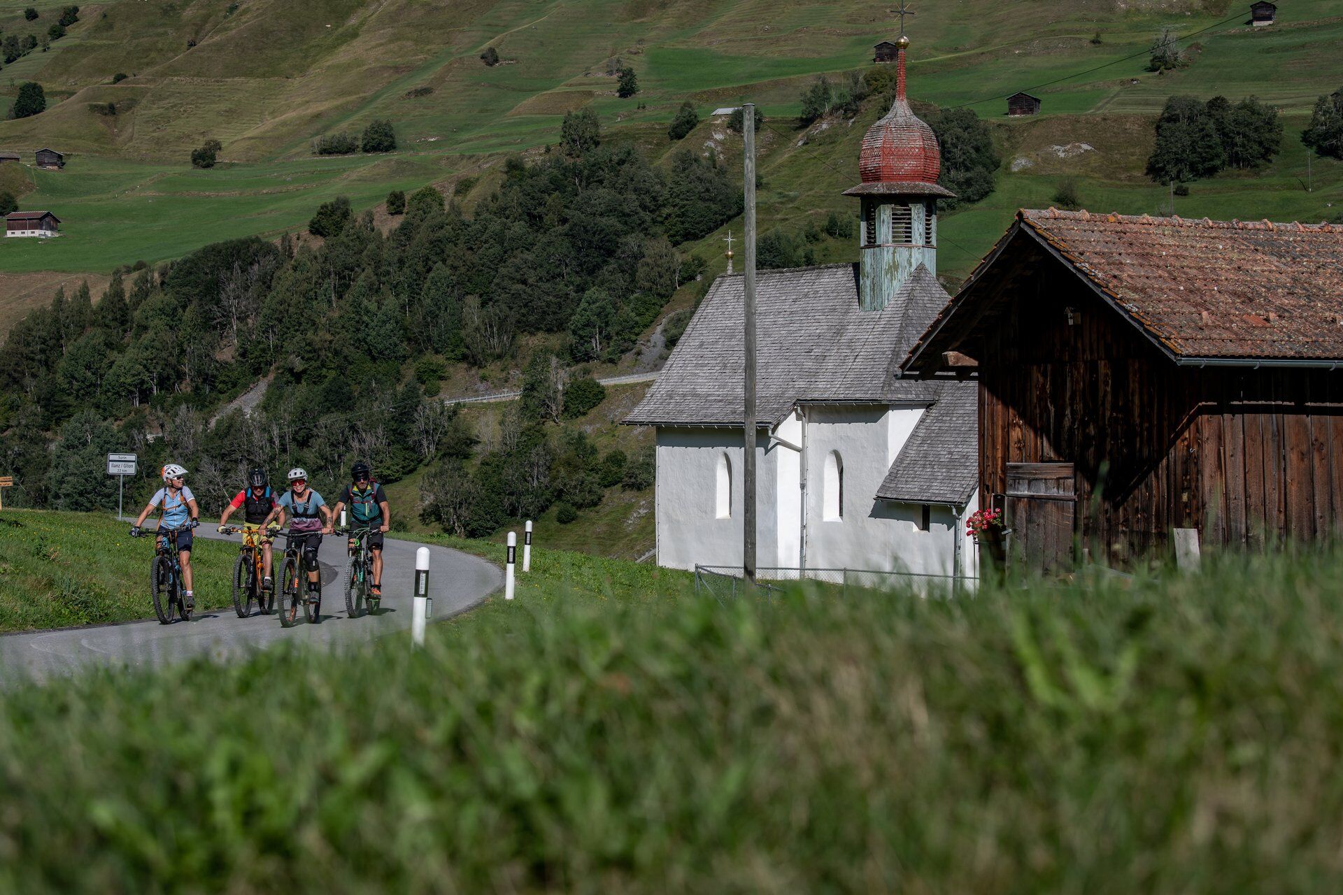
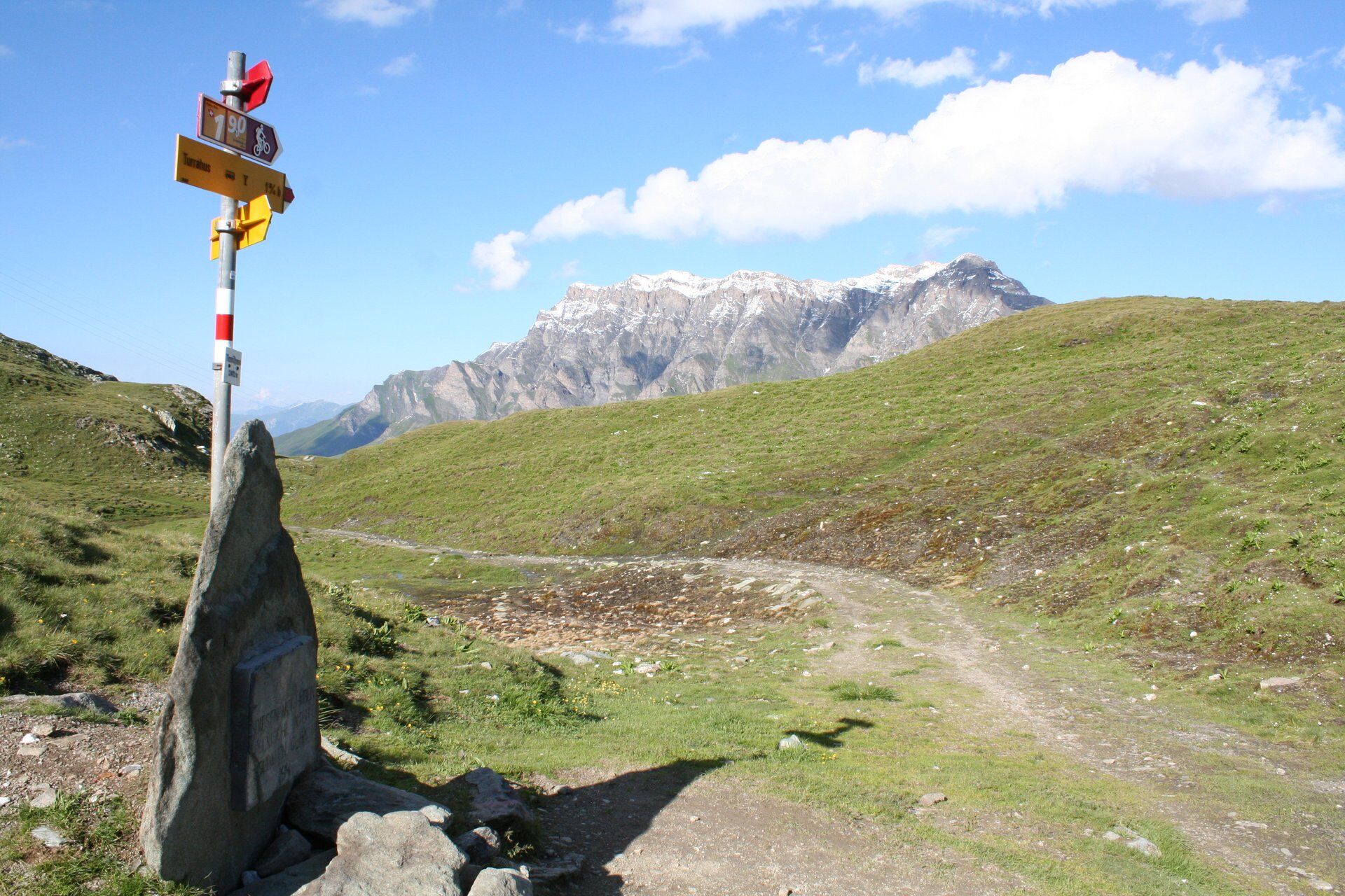
Biking in the tracks of the Walsers from the narrow Valsertal into the wide Val Lumnezia. The Tomülpass offers fabulous views of mountain summits and the mysterious Safiental. The flower meadows and Alpine pastures of Lugnez make a captivating contrast.
- Difficulty
-
difficult
- Rating
-
- Route
-
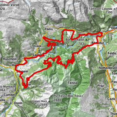
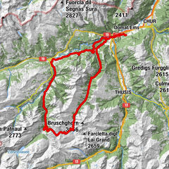
Safien Platz (1,315 m)Camanaboda (1,766 m)2.4 kmTaller Kirche6.4 kmThalkirch (1,686 m)6.5 kmGasslihof7.2 kmPürahütta10.4 kmSchindla-Büdemli18.8 kmPlansch23.8 kmVals (1,252 m)25.9 kmPfarrkirche St. Peter und Paul26.0 kmWallfahrtskapelle St. Maria27.2 kmKapelle St. Nikolaus27.9 kmTüfelstei28.5 kmKirche St. Martin33.3 kmSankt Martin (1,003 m)33.3 kmNeua Gaga33.7 kmMattelte34.0 kmPrau Bi34.2 kmTersnaus35.5 kmUors36.6 kmSurcasti37.5 kmSilgin43.0 kmKapelle Sogn Bistgaun43.1 kmCamenisch43.1 kmPruastg Dado44.1 kmPruastg Dadens44.7 kmBaselgia s.Clau e s.Onna45.6 kmSurin45.6 kmMulin49.3 kmChaplutta Sogn Roc49.4 kmSon Roc49.5 kmSum Vitg49.5 kmCaninas49.5 kmBuortga49.6 kmFuorn49.6 kmFontauna49.6 kmCurtin Grond49.7 kmAlpina49.7 kmPlaun49.7 kmUstria Lumerins49.7 kmSur Baselgia49.7 kmDual49.7 kmMaus49.7 kmLas Fueinas49.7 kmSassegl49.7 kmVigela49.7 kmKatholische Kirche St. Martin49.7 kmClavau Vintschegn49.7 kmSut Vitsch49.7 kmLumbrein (1,405 m)49.7 kmDado Baselgia49.7 kmNossaduna49.7 kmSut Baselgia49.7 km
- Best season
-
JanFebMarAprMayJunJulAugSepOctNovDec
- Highest point
- 2,416 m
- Endpoint
-
Lumbrein
- Height profile
-
 © outdooractive.com


- Author
-
The tour 90.10 Graubünden Bike Etappe 10 Safien Platz - Lumbrein is used by outdooractive.com provided.
GPS Downloads


Surfaces
Trial
General info
Refreshment stop
Cultural/Historical
Flora
A lot of view
Other tours in the regions
-
Vals
145
-
Degen / Lumnezia
60