- Brief description
-
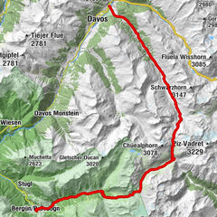
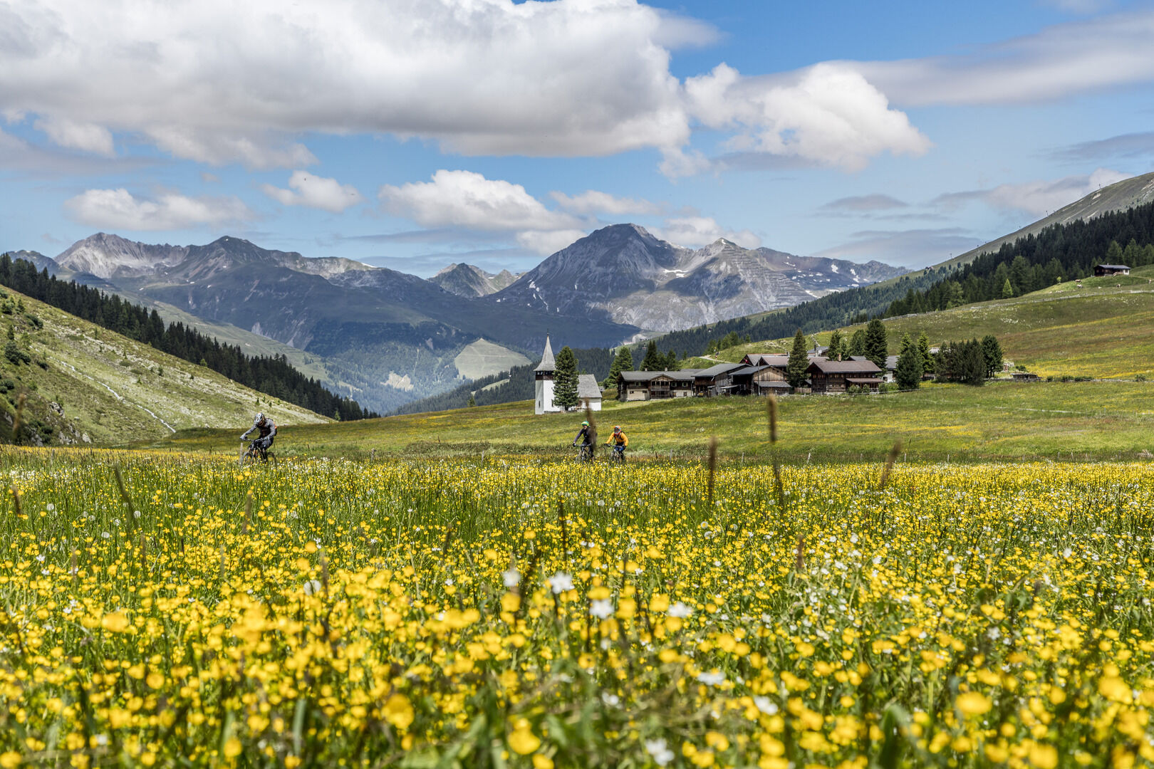
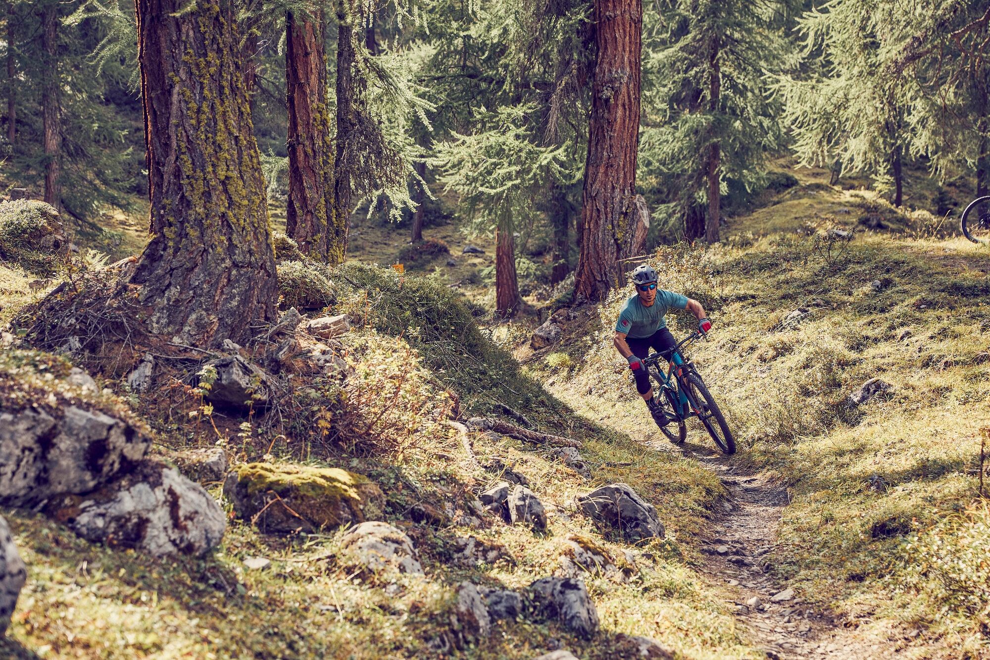
This is an impressive tour around the Rinerhorn and into the Sertig valley with its impressive waterfall. The route stands out by virtue of its very exciting and flowing single trails.
- Difficulty
-
medium
- Rating
-
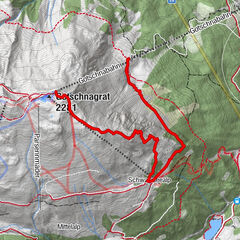
- Route
-
Davos (1,560 m)0.5 kmGasthaus Islen3.1 kmHöfji7.2 kmZün8.0 kmRestaurant Spina8.7 kmSpina (1,587 m)8.8 kmRiederalp10.1 kmJatzmäder (2,054 m)13.7 kmJatzmeder (2,060 m)13.7 kmWunder-Bar (2,054 m)13.8 kmBergrestaurant Jatzmeder (2,054 m)13.8 kmÄbirügg (2,107 m)15.5 kmWalserhuus20.9 kmReformierte Kirche21.4 kmBergführer21.5 kmla Martina27.2 kmClavadel (1,664 m)27.2 kmGeissloch30.2 kmDavos (1,560 m)32.6 km
- Best season
-
JanFebMarAprMayJunJulAugSepOctNovDec
- Description
-
From Davos Platz the route first takes us on the cycle path towards Davos Frauenkirch. At the Islen we branch off to the left and continue across the Wildboden to the Heidboden and Junkerboden. On a field track that follows the forest, in part as a single trail, we reach Spina. From there the road climbs steadily until we reach Jatzmeder, the mountain station of the Rinerhorn cable car. The trail continues on to Aebirügg, now climbing only slightly. Located here is a BBQ spot with wonderful views of Davos, the perfect place for a short break. An exciting, slightly downhill single trail now takes us to the furthest reaches of the famous Sertig valley, where a visit to the waterfall is a must. On the way down into the valley please use the official road to Clavadel and not the singletrail. From Clavadel the trail leads over the Spinnelenwald to Davos.
- Highest point
- 2,104 m
- Endpoint
-
Davos, Tourismus- und Sportzentrum
- Height profile
-
 © outdooractive.com
 - Safety instructions
-
In Davos Klosters there are many alps with livestock farming. Therefore, you can expect to encounter animals everywhere. Please be considerate and drive the terrain at an appropriate speed.


- Author
-
The tour 647 Rinerhorn / Sertig (suitable for E-MTB) is used by outdooractive.com provided.


Surfaces
General info
-
Davos Klosters
201
-
Davos Schatzalp
83