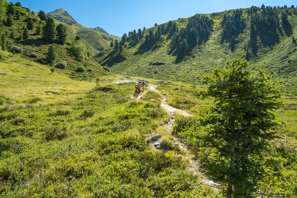
© Engadin Tourismus AG - Laura-Maria Engel

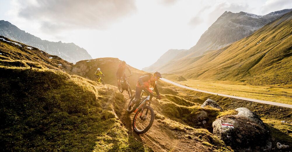
© Engadin Tourismus AG - Kilian Steiner
© Engadin Tourismus AG - Laura-Maria Engel

© Engadin Tourismus AG - Laura-Maria Engel

- Brief description
-
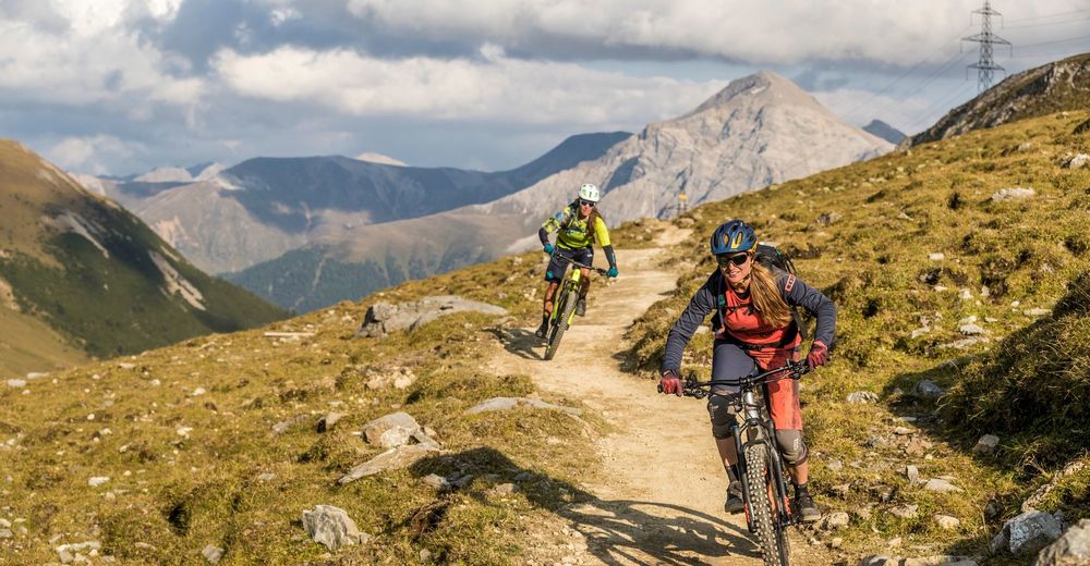
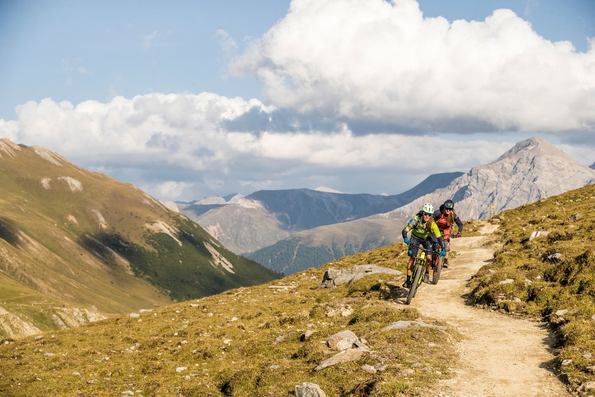
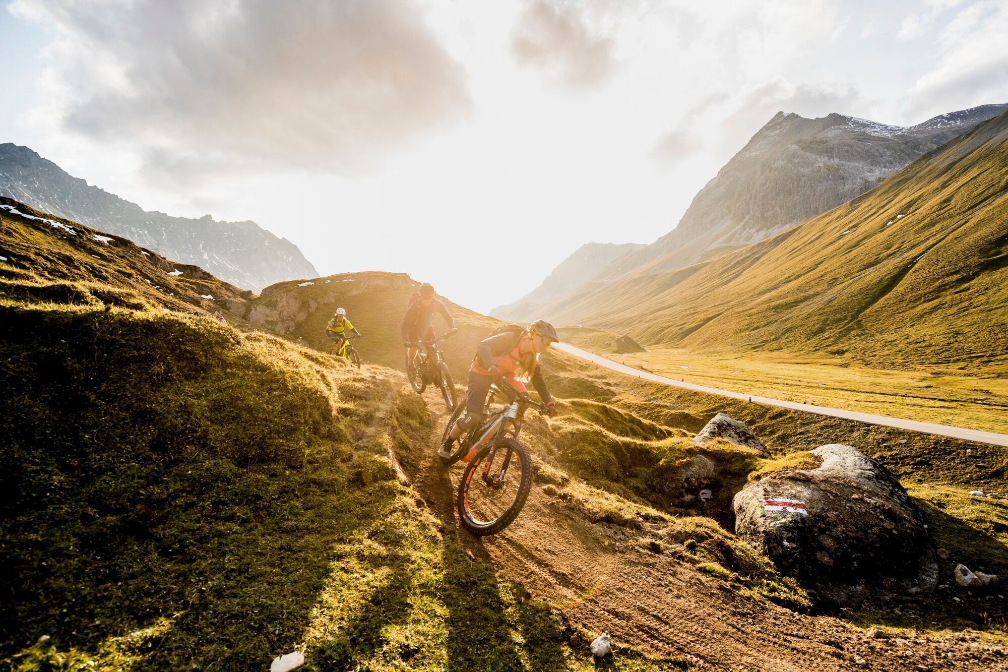
The Albula Trail is a must on your bucket list
- Difficulty
-
medium
- Rating
-
- Starting point
-
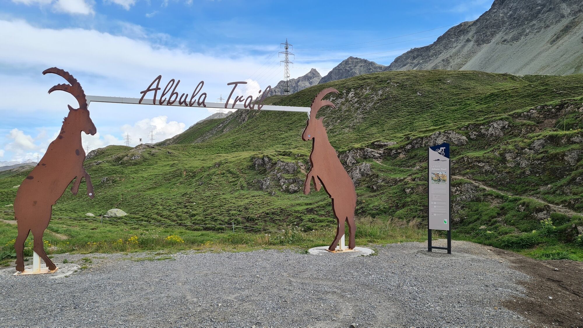
Albula Hospiz
- Route
-
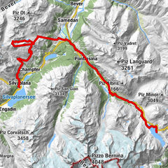
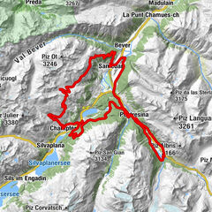
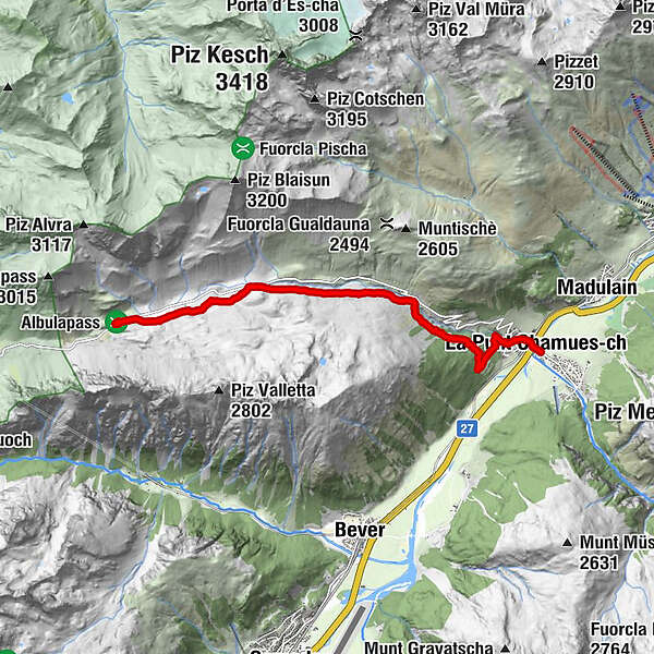
Albula8.3 kmFoto-Spot La Punt8.3 kmLa Punt8.4 kmLa Punt Chamues-ch (1,687 m)8.4 kmBurdun8.5 km
- Best season
-
JanFebMarAprMayJunJulAugSepOctNovDec
- Description
-
"Brevity is the spice of life" - a saying that not only hits the mark in many situations in life, but could also be chosen as the subtitle for this new route. consisting of only 8.6 kilometers, the Albula Trail combines a little taste of everything you want for a perfect mountain bike tour! A spectacular alpine panorama serves as your backdrop, and 625 meters of depth guarantee you an unforgettable flowing trail surfing experience with a varied route. If you are planning your first single trail or don't have time to do a day tour, you will enjoy the Albula Trail to the fullest as a wonderful and even playful evening round or half-day tour. The trail starts at 2315 m above sea level on the Albula pass at the Albula Hospiz Inn, which can be reached from La Punt either with the strength of your own calves or comfortably with the "Bus Alpin." After a short ascent you're off on a lively downhill flow through an immensely charming landscape with new surprises around every turn.
More information
Engadin St. Moritz Tourismus AG
Via Maistra 1
CH-7500 St. Moritz
Phone: +41 81 830 00 01
E-mail: allegra@engadin.ch
Internet: www.engadin.ch - Directions
-
Alpula Hospiz - Punt Granda - Alp Proliebas - God Drosa - La Punt
- Highest point
- 2,321 m
- Endpoint
-
La Punt
- Height profile
-
 © outdooractive.com
 - Tips
-
Take the Bus alpin to the Albula pass. busalpin.ch The Bus stops at Chamues-ch Plaz or La Punt railway station.
- Public transportation
-
Take the train to La Punt railway station

- Author
-
The tour Albula Trail is used by outdooractive.com provided.
GPS Downloads


General info
A lot of view
Other tours in the regions
-
Engadin St. Moritz
171
-
Bever
77