


- Brief description
-
Short ascent, long descent - and what a great one! Something of the best when it comes to demanding single trail tours in the region.
- Difficulty
-
difficult
- Rating
-
- Starting point
-
Brambrüesch, top station of gondola
- Route
-
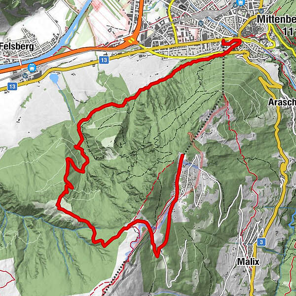
Chur (593 m)Brambrüesch (1,595 m)0.0 kmBrambrüesch0.2 kmberg.baiz0.6 kmEdelweishütte1.7 kmGiufs (1,378 m)4.9 kmBerghaus Juchs4.9 kmKornquader10.5 kmRosenhhügel11.1 kmFriedenskirche11.3 kmChur (593 m)11.6 kmChur (Brambrüeschbahn) (595 m)11.7 km
- Best season
-
JanFebMarAprMayJunJulAugSepOctNovDec
- Description
-
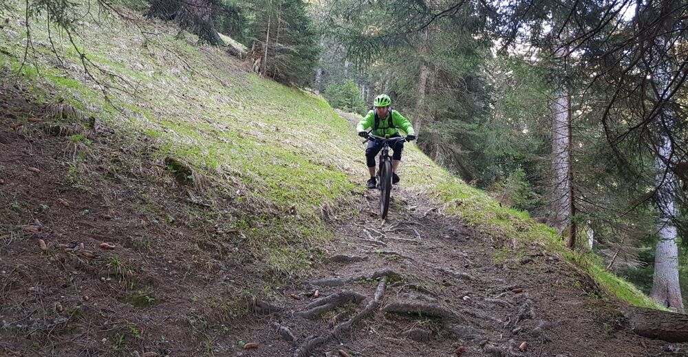
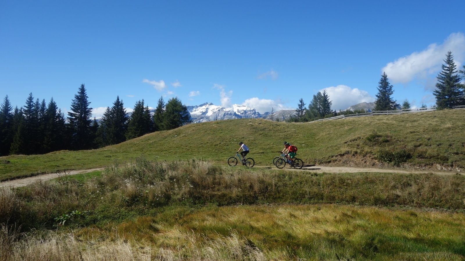
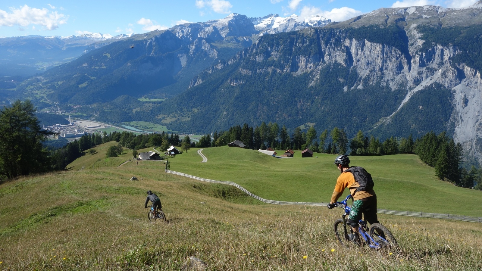
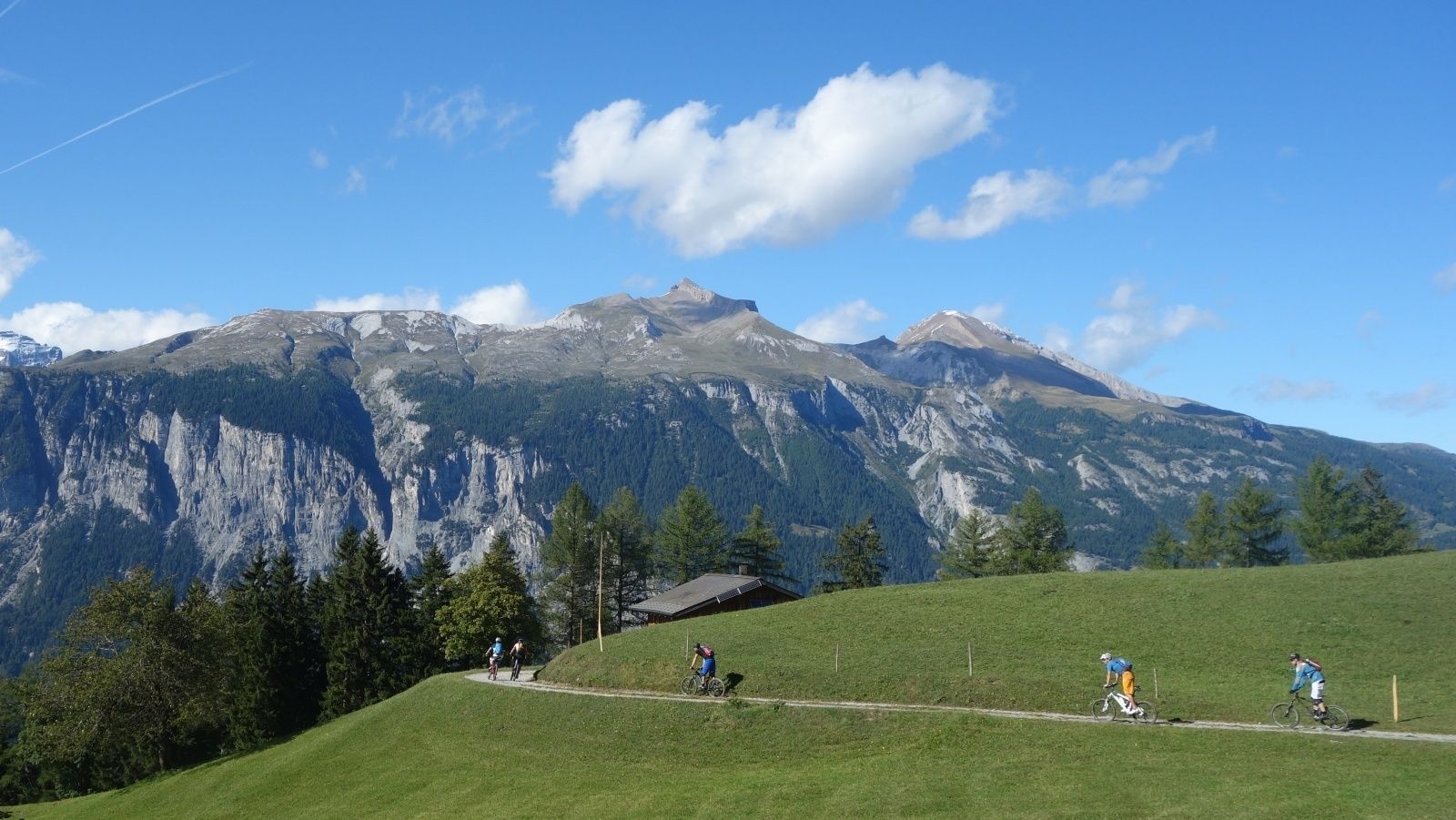
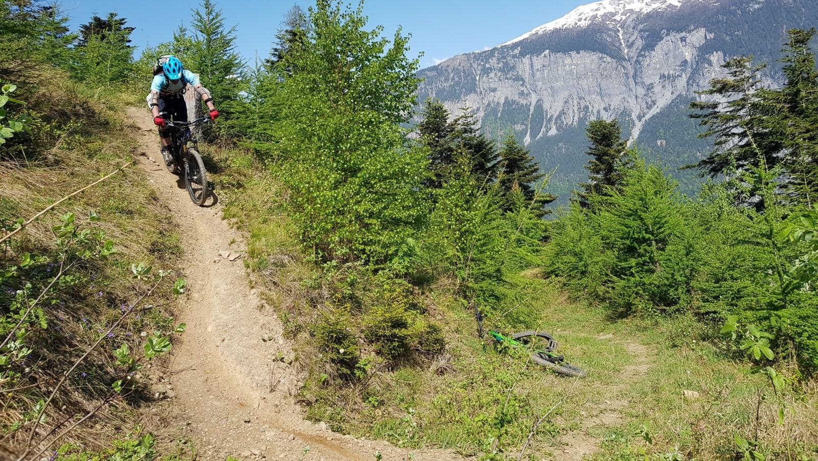
After the cableway ascent from Chur to Brambrüesch, a short and pleasant ascent over the Malixeralp to Lake Spundis follows. There you take the exit via Juchs to Chur. And it's got it in it! At the beginning a flowing trail leads across the meadows, which inspires jumps of joy. Later it becomes steeper and more demanding until you have crossed the ravine and descend over a meadow to Alp Juchs. After following the alp road for a short while, a hiking trail soon branches off to the left again. Now begins a technical, partially exposed single trail, traversed by demanding (but with some practice rideable - please avoid abbreviations) hairpin bends. The trail crosses the road several times until one follows the alp road a bit further down. And then after a bend another trail branches off to the right. Here begins a flow firework, the trail leads relatively flat in several sections up to the Rosenhügel above Chur. On this last section, especially before the curves, drive with foresight and caution, as hikers or bikers might also come across. From Rosenhügel one follows the road and behind the Welschdörfli through back to the valley station of the Chur cableways.
- Highest point
- 1,812 m
- Endpoint
-
Chur, valley station of gondola
- Height profile
-
 © outdooractive.com
 - Directions
-
-
Highway exit Chur Süd
-
Drive in direction of the city centre (Kasernenstrasse)
-
The valley station and parking lot are located in front of the city centre on the right-hand side.
-
- Public transportation
-
Take the train to Chur station. From there you can reach the valley station by bike in 5 minutes.
- Parking
-
Guests of the Chur cableways park for free at the parking lot at the cableway station. But you must indicate the plate number of your car at the cash desk!


-

-
AuthorThe tour Enduro-Tour Spundis-Juchs is used by outdooractive.com provided.
Surfaces
General info
-
Heidiland
336
-
Chur und Rheintal
264
-
Chur - Brambrüesch
100