

- Brief description
-
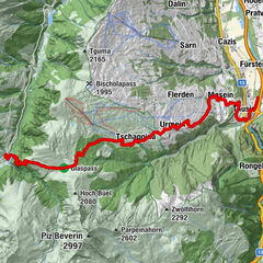
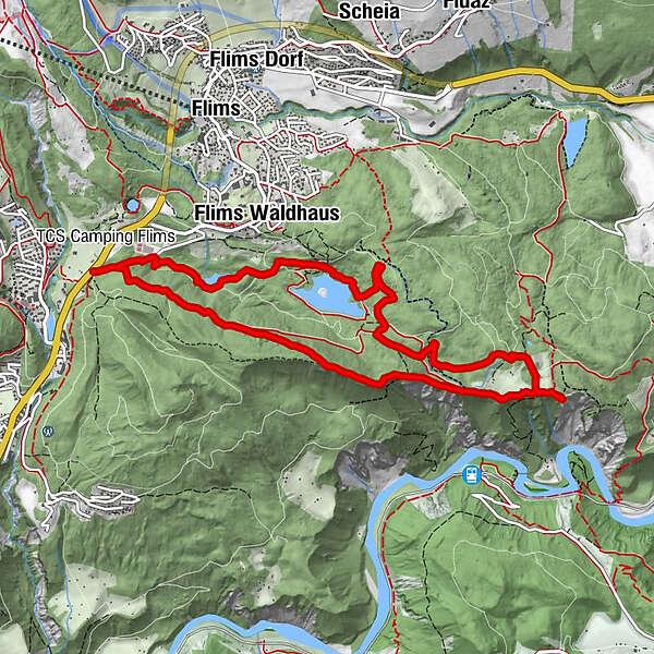
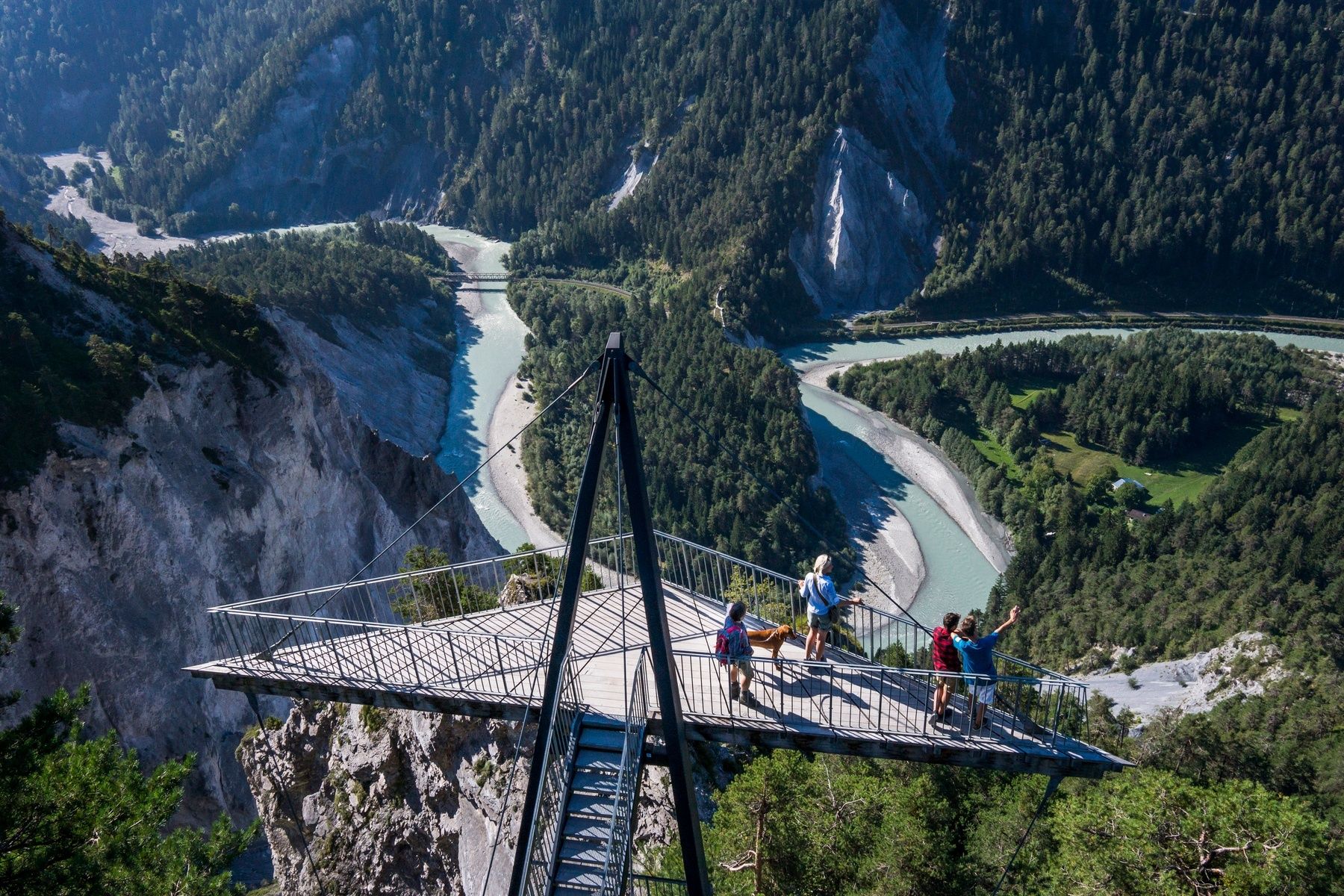
This short but varied circular trail through the vast Flims forest with dark green conifers offers three highlights at the same time: the Mutta Sura trail, the viewing platform “il Spir”, as well as Lake Cauma.
- Route
-
Plaunca dil Conn3.4 kmPlaunca dall` Isla3.6 kmAusflugsrestaurant Conn3.8 kmIl Spir4.2 kmCaumasee7.8 km
- Description
-
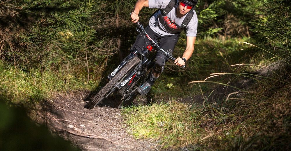
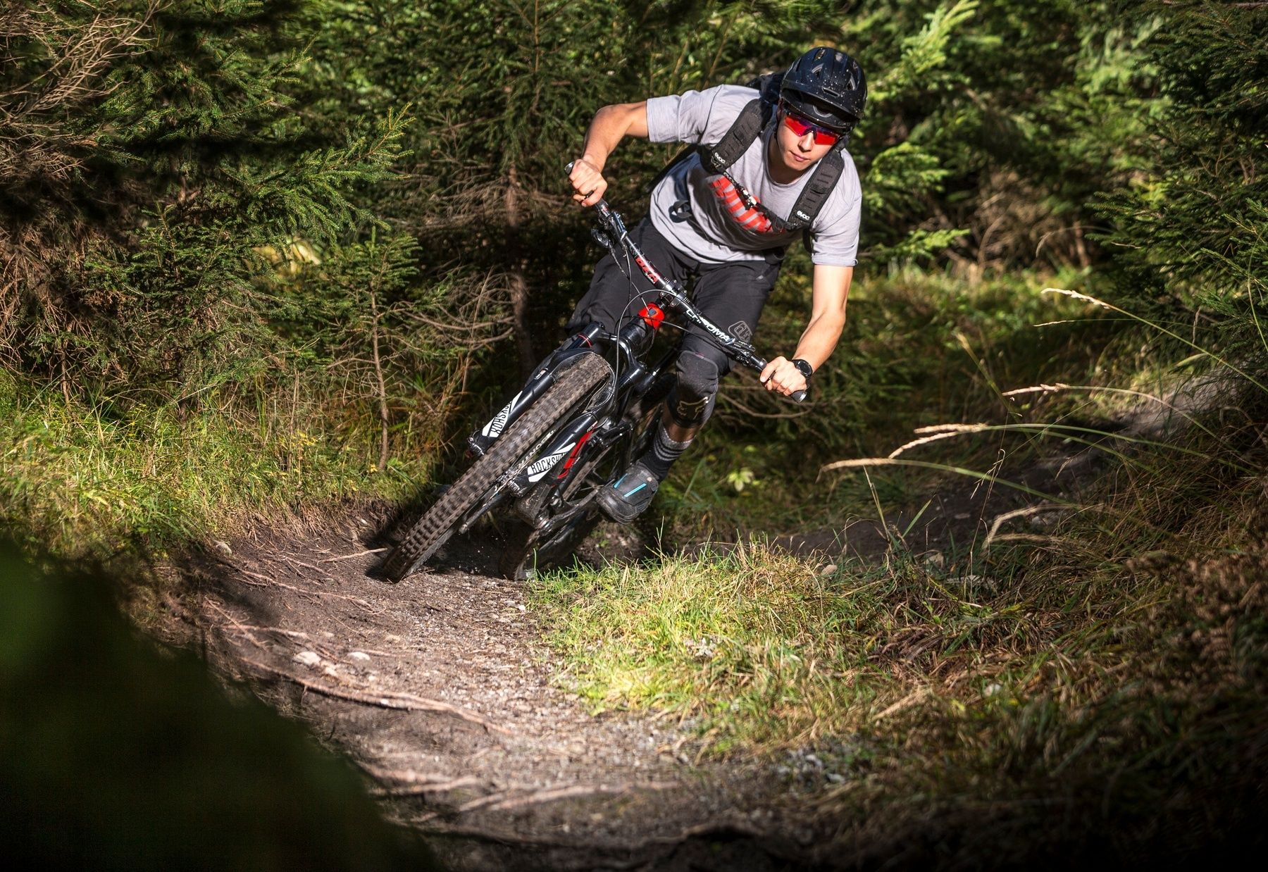
The Staderas parking lot marks the start of the tour. From there you follow a large forest road up to the highest point of the tour on Mutta Sura. Here you can already enjoy wonderful views of the Rhine Gorge, also known as the Swiss Grand Canyon. The descent that follows is short but spectacular. A demanding natural single trail with many root passages leads until shortly before the restaurant Conn. The route then continues on the connecting road to the viewing platform “il Spir”. For thousands of years, the Rhine has found its way through the mountains of the Flims rockslide and has thereby created the wonderful Rhine Gorge. From the viewing platform, you follow a further forest path and a short trail section to Lake Cauma. A refreshing dip in the turquoise shimmering mountain lake is well worth it – a mountain panorama just like on the big screen is included. After taking a relaxing break, there is only one last short climb back to the starting point.
HOME OF TRAILS
Incidentally: Danny MacAskill and Claudio Caluori took a relaxing break at Lake Cauma in the "Home of Trails" video.
Discover the Lake Cauma
- Highest point
- 1,196 m
- Height profile
-
 © outdooractive.com
 - Additional information
- Public transportation


-

-
AuthorThe tour Kanada und Karibik in Flims is used by outdooractive.com provided.


-
Heidiland
336
-
Flims Laax Falera
223
-
Trin
116